The best cycling routes around Day Valley
4.3
(20)
271
riders
52
rides
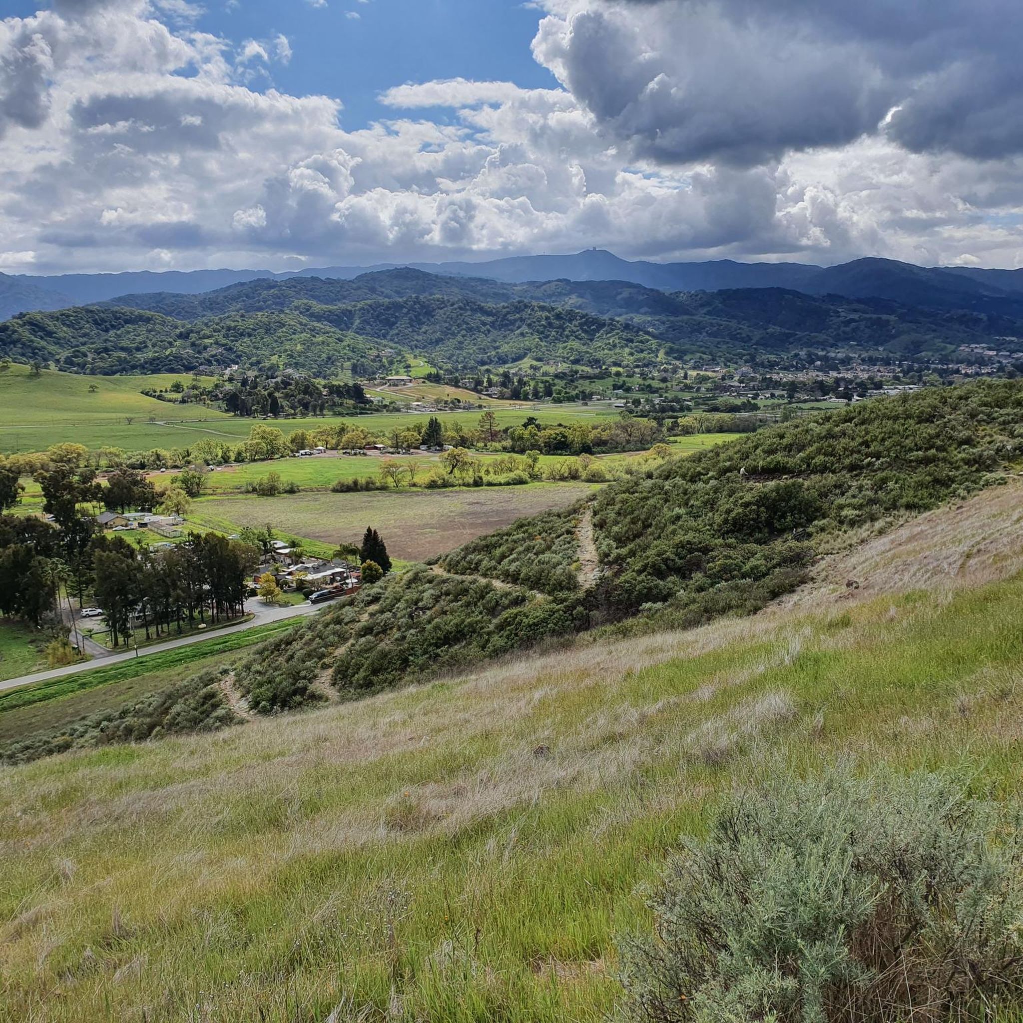
Touring cycling routes around Day Valley traverse a diverse landscape, transitioning from majestic redwood forests to scenic coastal areas and agricultural lands. The region is characterized by significant elevation changes, particularly in areas like The Forest of Nisene Marks State Park, where routes climb through dense redwood canopies. Proximity to the Pacific Ocean provides routes with coastal views and access to beaches, while Aptos Creek and Soquel Creek define the valley's waterways. This varied terrain offers a range of experiences for touring cyclists.
Best touring cycling routes around Day Valley
- The most popular touring cycling route is Aptos Creek and Buzzard Lagoon Loop, a 31.4 miles (50.5 km) trail that takes 4 hours 32 minutes to complete. This difficult route winds through ancient redwood forests and lush orchards, featuring significant elevation gains.
- Another top favourite among local touring cyclists is Pleasure Point Beach – Capitola Village loop from Dolphin/Sumner Beach, a moderate 15.7 miles (25.3 km) path. This route offers a moderate ride primarily on paved surfaces, suitable for various fitness levels.
- Local touring cyclists also love the Seacliff State Beach loop from Santa Cruz Long-Toed Salamander Ecological Reserve, a 18.6 miles (30.0 km) trail leading through coastal areas, often completed in about 2 hours 0 minutes.
- Touring cycling around Day Valley is defined by redwood forests, coastal paths, and agricultural orchards. The network offers options for different ability levels, from moderate coastal loops to challenging climbs through the hills.
- The routes in Day Valley are highly rated by the komoot community with an average score of 4.1 stars from over 19 reviews. More than 400 touring cyclists have used komoot to explore Day Valley's varied terrain.
Last updated: November 8, 2026
9
riders
Hard bike ride. Very good fitness required. Mostly paved surfaces.
3.0
(1)
10
riders
60.2km
04:08
1,060m
1,060m
Hard bike ride. Very good fitness required. Mostly paved surfaces.

6
riders
Moderate bike ride. Good fitness required. Mostly paved surfaces.
6
riders
34.4km
02:05
300m
300m
Moderate bike ride. Good fitness required. Mostly paved surfaces.
4
riders
21.4km
01:23
270m
270m
Moderate bike ride. Good fitness required. Mostly paved surfaces.
Get access to more routes and recommendations from other explorers.
Already have an account?
Our route recommendations are based on thousands of hikes, rides, and runs completed by other people on komoot.
Start today with a free account
Your next adventure awaits.
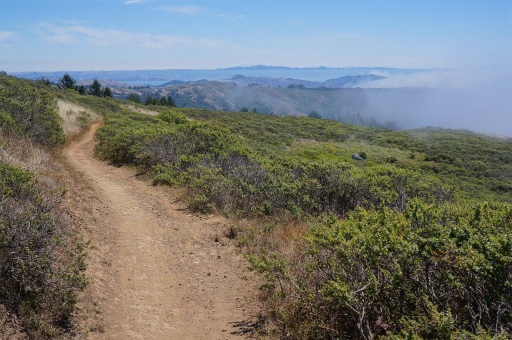
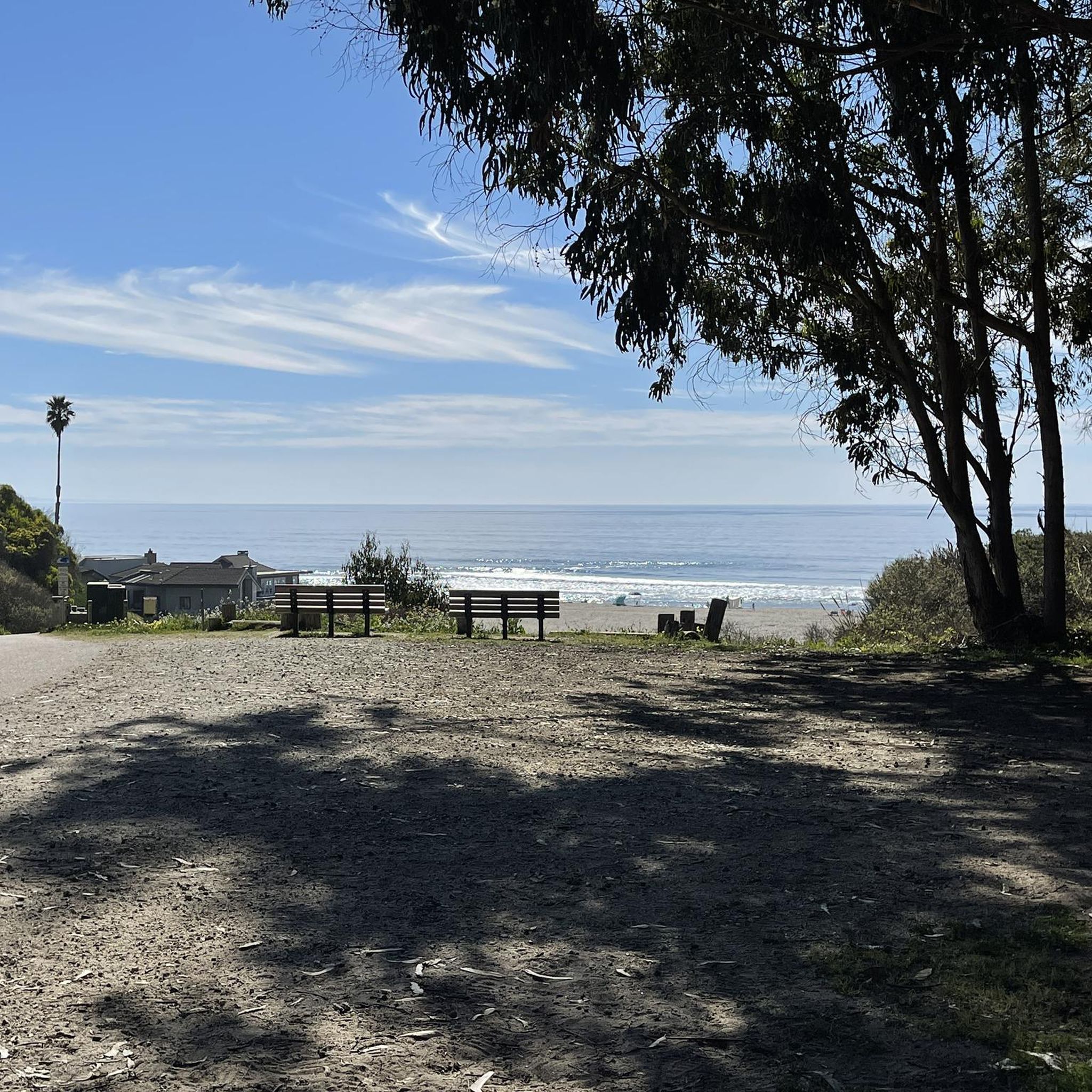
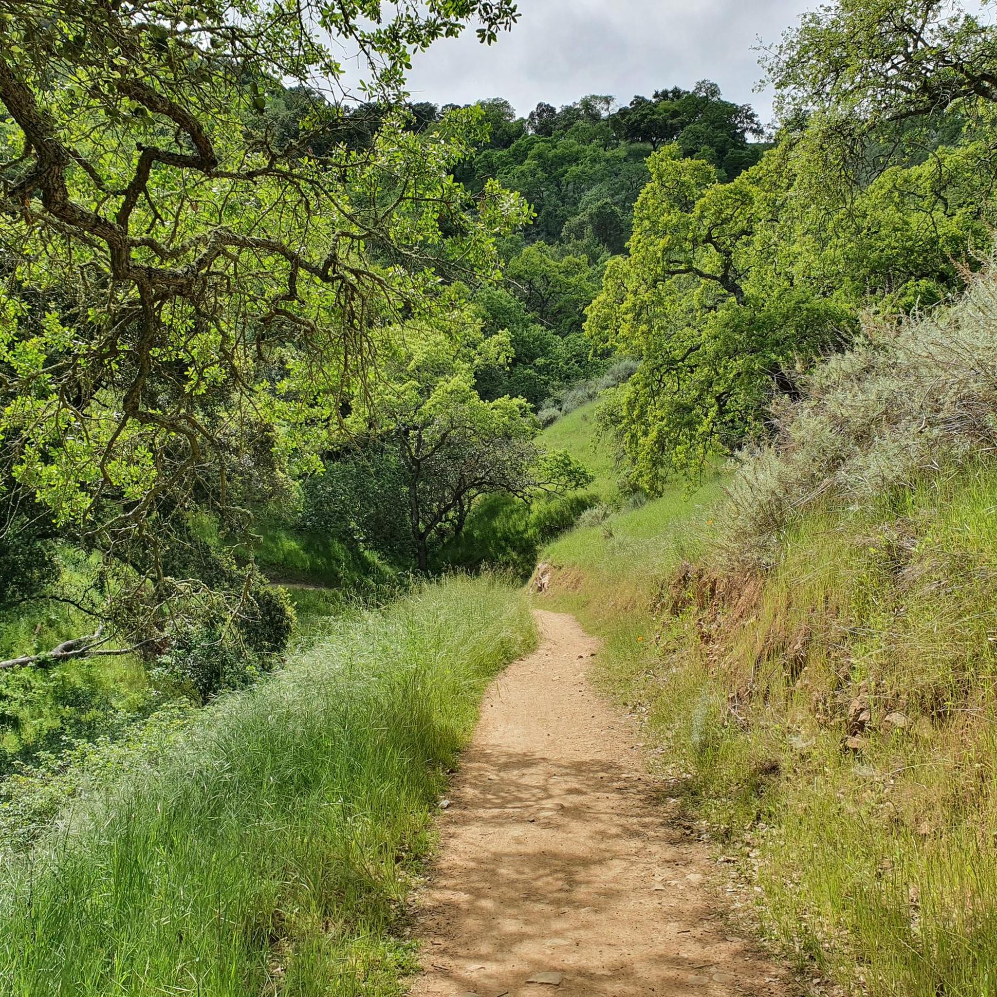
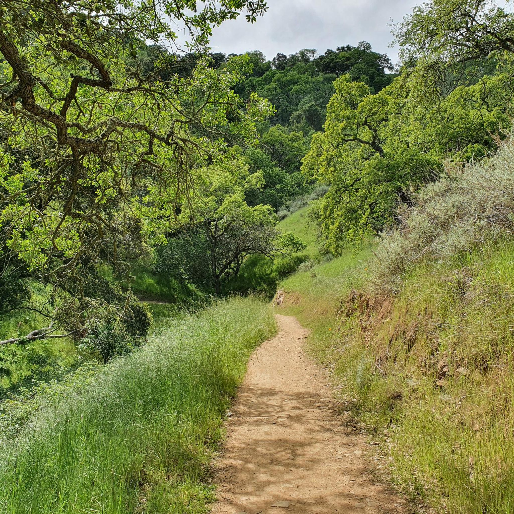

Other adventures around Day Valley

Tips from the Community

This 4,605-acre park covers a large area of Redwood forest. There are many miles of trails, campsites, guided trail rides and more.
0
0

Bamboo Giant Nursery is a peaceful nursery garden with 60 different varieties of non-native bamboo and other species of plants, with some bamboos 50 feet tall. The nursery offers picnic areas, benches and gazebos surrounded by a beautiful garden and small ponds.
0
0

Sunset State Beach is a large park surrounded by fertile farmland. The beach stretches 3 miles down to the mouth of the Pajaro River. The park offers a wooded campground, picnic areas, and 200-foot-high dunes.
0
0
The Pajaro River stretches for 30 miles from the Diablo Range to where it empties into Monterey Bay. Additionally, the river forms the border between Monterey County and Santa Cruz County.
0
0
Seacliff State Beach is a long stretch of sand backed by bluffs and is best known for its concrete freighter, the SS Palo Alto, lying in the water just off the beach.
0
0
La Selva Beach is a small community north of Watsonville. It is mostly known as home to Manresa State Beach, but it also has a post office, corner store, fire department, library, and a few shops.
0
0
Manresa State Beach is known for its sweeping views of bluff-backed sand and sea. Visitors can enjoy surfing, boogie boarding, flying kites, walking the beach, or sunbathing.
0
0

This is a nice quiet area, with lots of shade. There are not many facilities, but you can park on the side of the road. Scott County Park is also on the other side of the road which has a playground and restrooms.
1
0
Frequently Asked Questions
How many touring cycling routes are available in Day Valley?
Day Valley offers a diverse selection of over 45 touring cycling routes. These routes cater to various skill levels, ranging from easy coastal rides to challenging climbs through redwood forests.
What are the different difficulty levels for touring cycling routes in Day Valley?
You'll find a good mix of routes in Day Valley. There are 11 easy routes, 24 moderate routes, and 12 difficult routes, ensuring options for cyclists of all experience levels.
What kind of terrain can I expect on touring cycling routes in Day Valley?
Day Valley's touring cycling routes traverse a diverse landscape. You can expect to ride through majestic redwood forests, scenic coastal areas with ocean views, and agricultural lands with orchards. Routes often feature significant elevation changes, especially in areas like The Forest of Nisene Marks State Park, but also include flatter, paved sections near the coast.
What do other touring cyclists enjoy most about Day Valley?
The touring cycling routes in Day Valley are highly rated by the komoot community, with an average score of 4.1 stars from over 19 reviews. Cyclists often praise the stunning natural beauty, the variety of terrain from redwoods to coast, and the well-maintained paths that offer both challenging climbs and leisurely rides.
Are there any family-friendly touring cycling routes in Day Valley?
Yes, Day Valley offers several routes suitable for families. Options like the Pleasure Point Beach – Capitola Village loop from Dolphin/Sumner Beach provide moderate rides primarily on paved surfaces, making them accessible for various fitness levels and potentially younger riders. The region's many parks, such as Aptos Village County Park, also offer pleasant, less strenuous areas for cycling.
Can I find circular touring cycling routes in Day Valley?
Absolutely. Many touring cycling routes in Day Valley are designed as loops, allowing you to start and end at the same point. Examples include the challenging Aptos Creek and Buzzard Lagoon Loop, or the more moderate Freedom Lake County Park loop from San Andreas Creek - King Property.
What natural features or landmarks can I see along Day Valley's touring cycling routes?
Day Valley's routes offer a wealth of natural beauty and charming landmarks. You can cycle through ancient redwood forests in The Forest of Nisene Marks State Park, enjoy coastal views at Pleasure Point Beach or Seacliff State Beach, and pass by local orchards. The historic Capitola Village is also a popular stop with its unique shops and restaurants.
Are there touring cycling routes that offer coastal views?
Yes, Day Valley's proximity to the Pacific Ocean means several routes provide stunning coastal views. The Pleasure Point Beach – Capitola Village loop and the Seacliff State Beach loop are excellent choices for experiencing the ocean breeze and picturesque coastline.
What is the best time of year to go touring cycling in Day Valley?
Day Valley is enjoyable for touring cycling year-round, but spring and fall offer particularly pleasant weather. The redwood forests, such as those in The Forest of Nisene Marks State Park, provide almost 100% shade, making them suitable even on warmer days. Coastal routes are often breezy, offering relief during summer months.
Are there any touring cycling routes that are dog-friendly in Day Valley?
While specific dog-friendly cycling routes are not explicitly listed, many parks and trails in the Day Valley area allow dogs on leash. It's always best to check the specific regulations for The Forest of Nisene Marks State Park or other county parks before heading out with your canine companion, as rules can vary.
Are there places to eat or get coffee near Day Valley's cycling routes?
Yes, you'll find charming spots to refuel. Aptos Village, nestled at the foot of the Santa Cruz Mountains, offers artisan coffee shops and farm-to-table eateries. Capitola Village, a short distance from Day Valley, is also known for its shops and restaurants right on the beach, perfect for a post-ride meal or coffee.
Where can I park when visiting Day Valley for touring cycling?
Parking is generally available at various access points for popular routes. For instance, The Forest of Nisene Marks State Park, a gateway to many redwood forest trails, has designated parking areas. Coastal routes often have parking near beaches like Pleasure Point or Seacliff State Beach. It's advisable to check specific starting points for parking availability.
Most popular attractions around Day Valley

Get inspired with the komoot mobile app


Explore more
Browse the best Cycling routes in other regions.
