The best MTB trails around Castaic
4.7
(4)
146
riders
6
rides
Mountain biking around Castaic offers diverse terrain characterized by rolling hills, the expansive Castaic Lake, and accessible natural features. The region provides a network of trails suitable for various skill levels, including challenging climbs on fire roads and rewarding downhill descents. Its proximity to the Angeles National Forest further enhances the outdoor experience, providing varied landscapes for exploration. The area's trails are often multi-use, accommodating mountain bikers, trail runners, and hikers.
Best mountain bike trails in Castaic
- The most popular…
Last updated: August 6, 2026
5.0
(2)
53
riders
20.1km
01:46
330m
330m
Hard mountain bike ride. Good fitness required. Advanced riding skills necessary. Some portions of the route may require you to push your bike.
4.0
(1)
44
riders
26.7km
02:20
440m
440m
Hard mountain bike ride. Good fitness required. Advanced riding skills necessary. Some portions of the route may require you to push your bike.

Sign up for free
8
riders
16.6km
00:57
120m
120m
Easy mountain bike ride. Great for any fitness level. Suitable for all skill levels.
1
riders
56.6km
04:07
980m
980m
Hard mountain bike ride. Very good fitness required. Suitable for all skill levels.
Get access to more routes and recommendations from other explorers.
Sign up for free
Already have an account?
Our route recommendations are based on thousands of hikes, rides, and runs completed by other people on komoot.
Start today with a free account
Your next adventure awaits.
Login or Signup

Tips from the Community

At about 84 miles long, the Santa Clara River is the largest natural river system in southern California remaining in a relatively undeveloped state. Along its length there is the 8 mile long Santa Clara River Trail, which is a paved bicycle and walking path in the city of Santa Clarita.
0
0

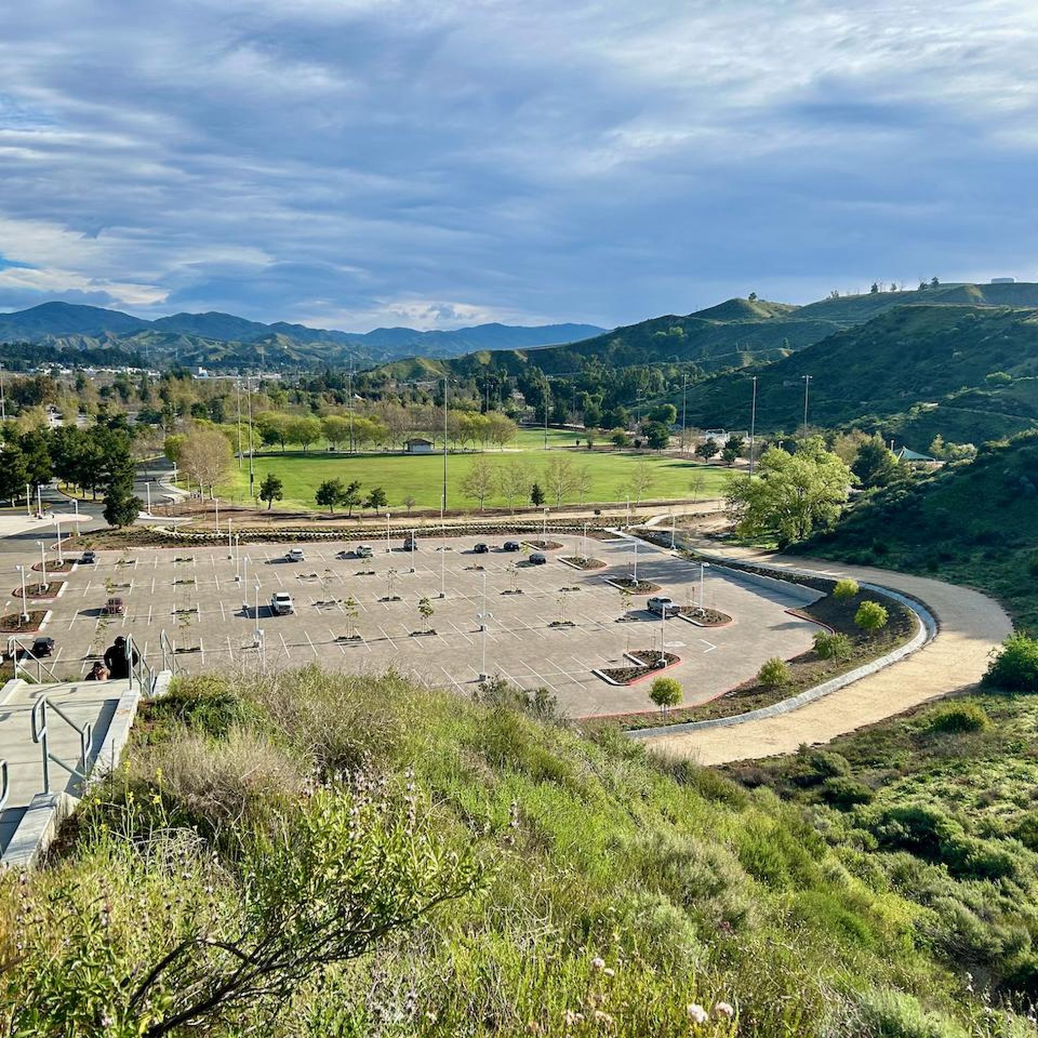
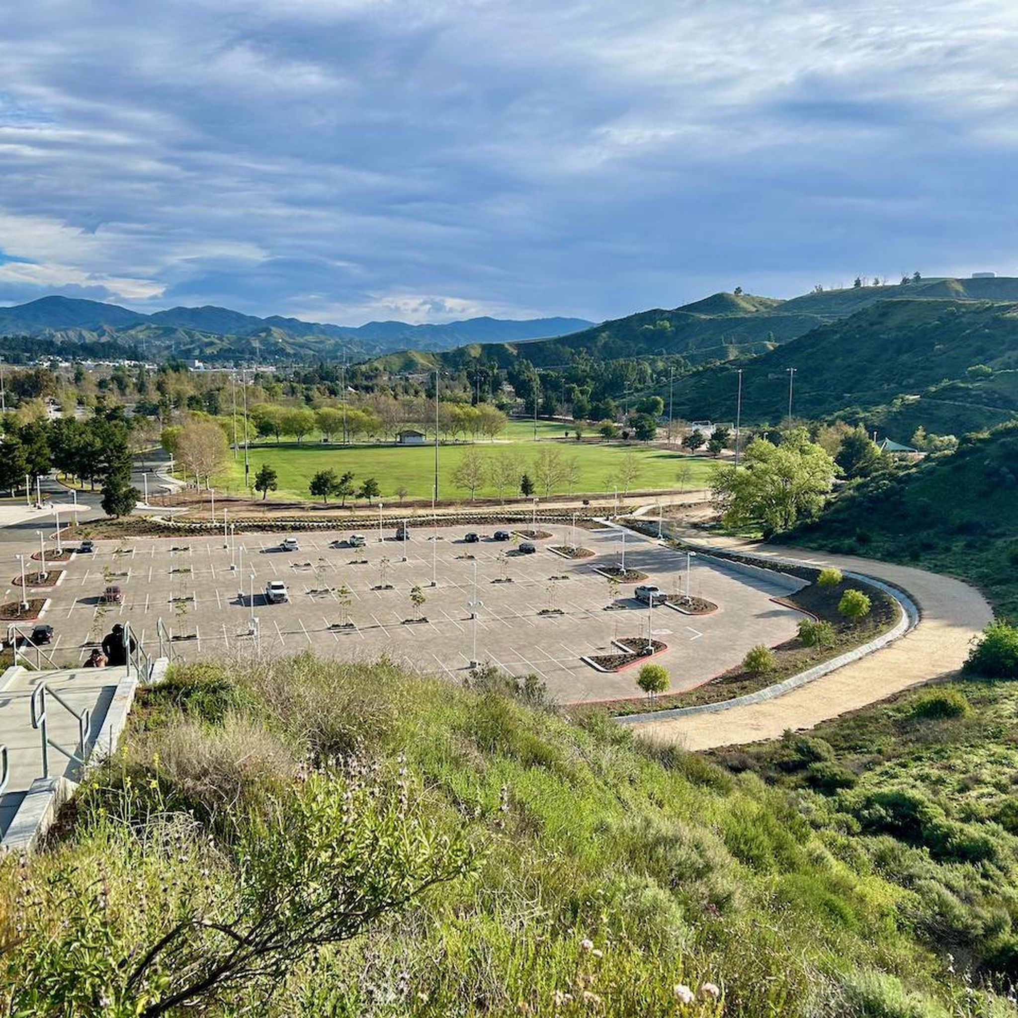
Whitney Canyon Park spans 442 acres, offering hiking, biking, and horseback riding trails through oak woodlands and along creeks and small waterfalls. The trails provide awesome views year-round, while the cooler months are especially enjoyable. Lots of parking is available for the public.
0
0

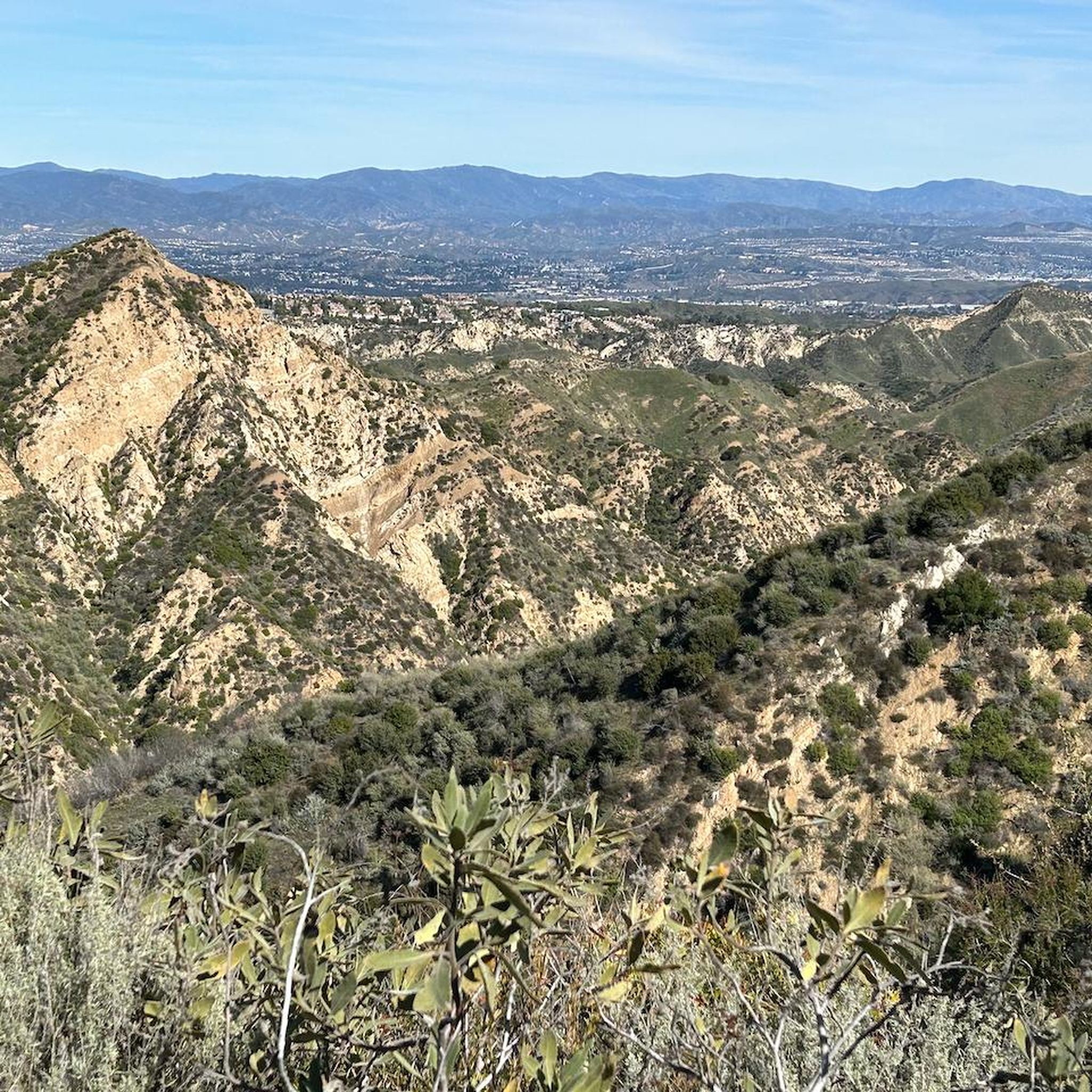
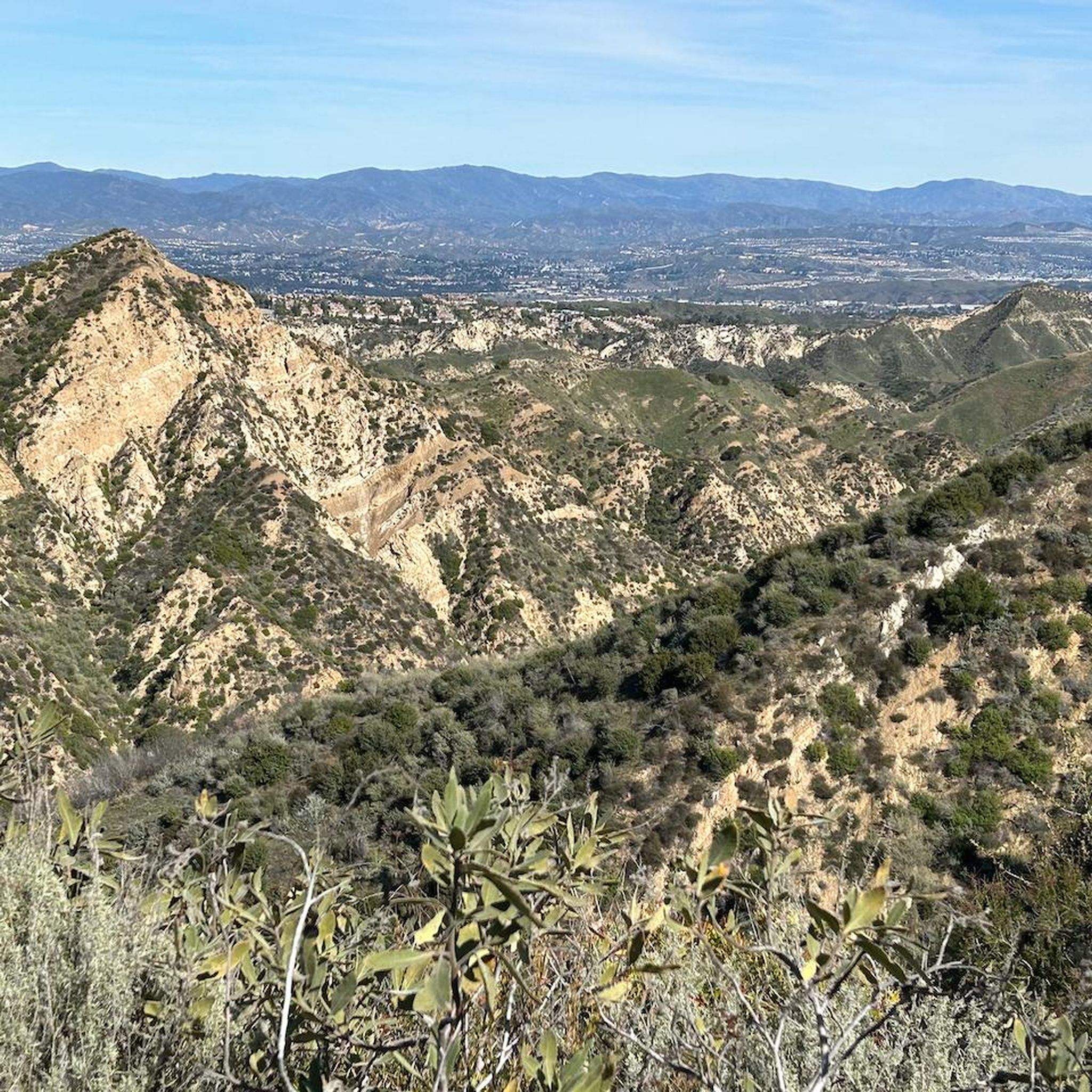
From this spot just off of the San Francisquito Creek Trail in Santa Clarita, CA, you get fantastic open views down the valley across the grasslands and of the powerlines. This is a nice place to stop and sip some water or snap a photo before continuing on your ride.
0
0
At about 84 miles long, the Santa Clara River is the largest natural river system in southern California remaining in a relatively undeveloped state. Along its length there is the 8 mile long Santa Clara River Trail, which is a paved bicycle and walking path in the city of Santa Clarita.
0
0

The San Francisquito Creek Trail travels through various parks and across different bridges on the banks of the Santa Clara River and San Francisquito Creek. The path is completely paved and goes on both sides of the creek, giving you the chance to run or cycle a loop depending on what trailhead you start at.
0
0

During spring migration, this spot transforms into a hotspot for birdwatchers, with thousands of birds (even 20,000!) soaring through a nearby mountain gap, offering a truly awe-inspiring spectacle. Keep an eye out for vibrant lupine flowers, adding splashes of color to the hillside.
0
0

This is a gravel road that offers great views and access to the Viper trail.
1
0

The Iron Horse Bridge is an old railway bridge that has now been turning into a pedestrian bridge. It is part of the South Fork River Trail and takes users over the Santa Clara River.
1
0
Frequently Asked Questions
What kind of terrain can I expect on mountain bike trails around Castaic?
Mountain biking around Castaic features diverse terrain, including rolling hills, fire roads for uphill climbs, and rewarding downhill descents. The area is characterized by its proximity to the expansive Castaic Lake and the Angeles National Forest, offering varied landscapes for exploration.
How many mountain bike trails are available in Castaic?
Komoot currently features 5 mountain bike tours around Castaic. These routes are generally considered difficult, offering significant challenges for experienced riders.
Are there any easy or beginner-friendly mountain bike trails in Castaic?
The mountain bike routes currently highlighted in Castaic are all rated as difficult, featuring significant elevation gain and varied terrain. While the region offers diverse trails, those listed here are geared towards more experienced riders seeking a challenge.
What are some of the longer mountain bike routes in Castaic?
For a longer ride, consider the Entrance to G out trail – San Francisquito Motorway loop from Entrada North, which covers approximately 39.9 miles (64.2 km). Another substantial option is the Santa Clara River – Santa Clara River loop from Princess Cruises, spanning about 34.7 miles (55.8 km).
What do other mountain bikers enjoy about the trails in Castaic?
The mountain bike routes in Castaic are highly rated by the komoot community, with an average score of 5.0 stars from over 2 reviews. Riders often praise the challenging nature of the trails, the varied terrain, and the scenic views of the rolling hills and Castaic Lake.
Are there any loop trails for mountain biking in Castaic?
Yes, several routes offer a loop experience. For example, the Entrance to G out trail loop from Castaic Junction is a 19.4-mile loop that takes you through rolling hills and open spaces.
What natural features or landmarks can I see while mountain biking in Castaic?
While mountain biking in Castaic, you'll encounter scenic rolling hills and views of Castaic Lake. You might also pass by the Santa Clara River or the San Francisquito Creek Trail. The impressive 425-foot-tall Castaic Dam is also a key feature of the area.
Is Castaic Lake accessible from the mountain bike trails?
Castaic Lake is a central feature of the region, and many mountain bike trails offer views of or access to the lake area. The Castaic Lake itself is a significant natural attraction.
What is the best time of year to go mountain biking in Castaic?
Castaic experiences warm, dry summers. Spring and fall generally offer more moderate temperatures, making them ideal for mountain biking. Winter can also be pleasant, though conditions can vary. Always check local weather forecasts before heading out.
Are there specific trails known for good views in Castaic?
Many trails in Castaic offer expansive views of the rolling hills and the vast Castaic Lake. The region's open spaces and elevated sections provide numerous scenic overlooks, particularly those routes that traverse higher ground or skirt the lake's perimeter.
Are there any multi-use trails in Castaic that accommodate mountain bikers?
Yes, many of the mountain biking trails in Castaic are multi-use, meaning they are also popular with trail runners and hikers. This allows for a shared outdoor experience across the diverse network of paths.
Most popular attractions around Castaic

Get inspired with the komoot mobile app


Explore more
Browse the best MTB trails in other regions.
