The best walks and hikes around Großer Wostevitzer Teich
4.6
(13085)
55,448
hikers
390
hikes
Hiking around Großer Wostevitzer Teich offers a network of trails in the Vorpommern-Rügen region, characterized by its proximity to the Jasmunder Bodden and coastal landscapes. The area features varied terrain, including paths along the water and through local woodlands. Elevations are generally gentle, making many routes accessible for different fitness levels. The region provides opportunities to explore the natural environment surrounding the lake.
Best hiking trails around Großer Wostevitzer Teich
- The most popular hiking route is Lietzow Coastal Path –…
Last updated: August 27, 2026
4.7
(305)
829
hikers
Easy hike. Great for any fitness level. Easily-accessible paths. Suitable for all skill levels.
4.4
(180)
897
hikers
3.98km
01:01
10m
10m
Easy hike. Great for any fitness level. Easily-accessible paths. Suitable for all skill levels.

Sign up for free
4.7
(179)
458
hikers
Easy hike. Great for any fitness level. Easily-accessible paths. Suitable for all skill levels.
4.4
(68)
203
hikers
12.1km
03:12
110m
110m
Moderate hike. Good fitness required. Easily-accessible paths. Suitable for all skill levels.
4.8
(43)
147
hikers
12.9km
03:20
60m
60m
Moderate hike. Good fitness required. Easily-accessible paths. Suitable for all skill levels.
Get access to more routes and recommendations from other explorers.
Sign up for free
Already have an account?
Our route recommendations are based on thousands of hikes, rides, and runs completed by other people on komoot.
Start today with a free account
Your next adventure awaits.
Login or Signup
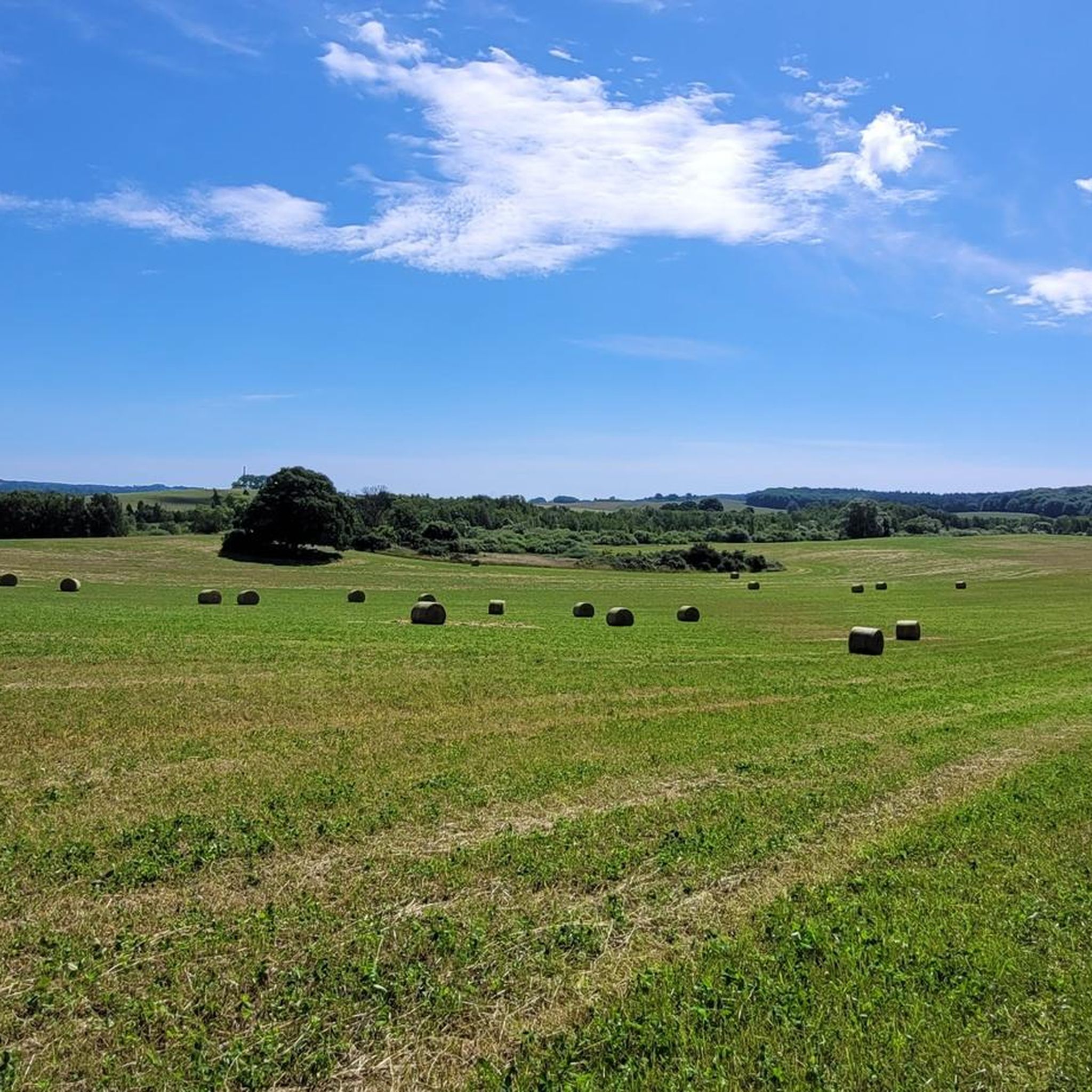
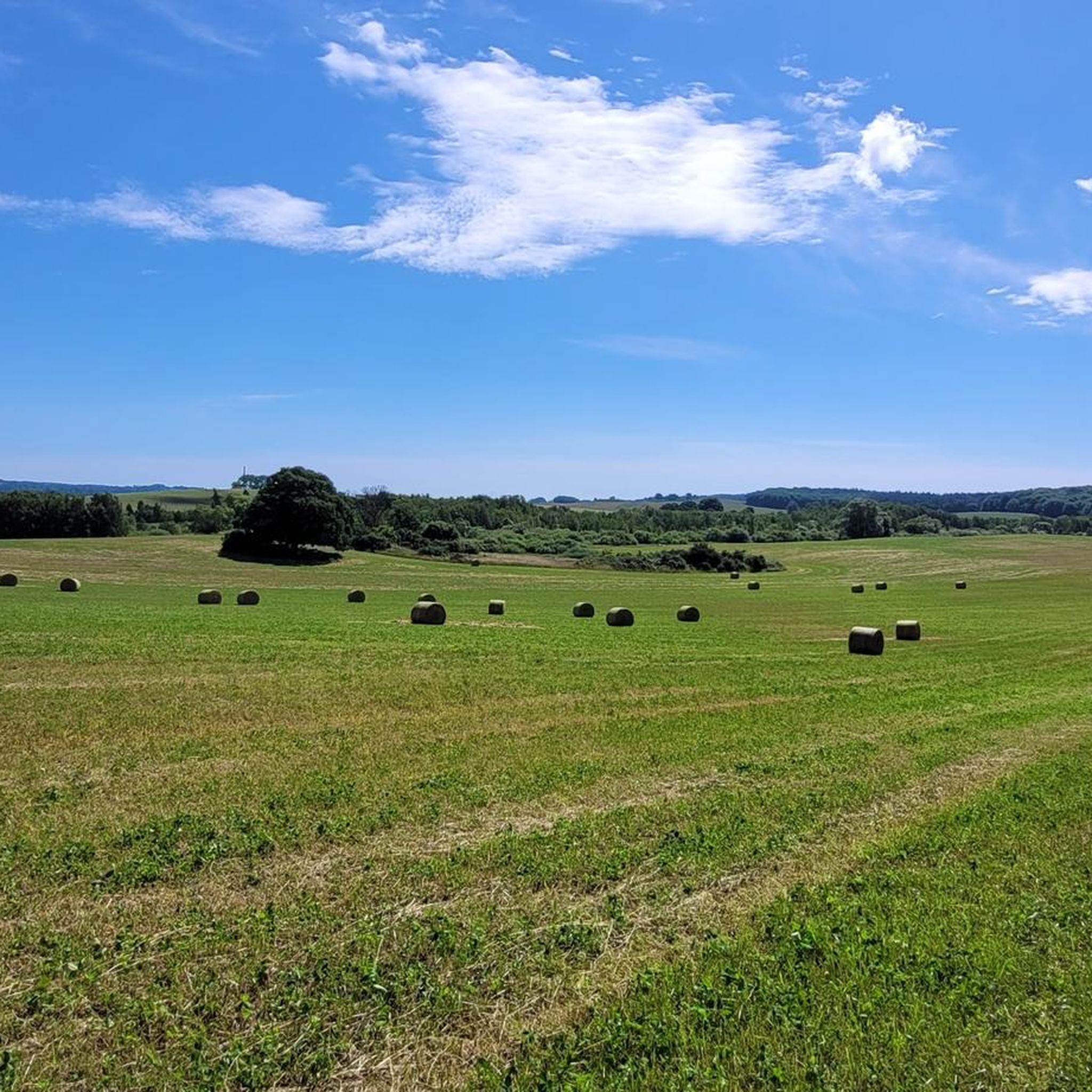
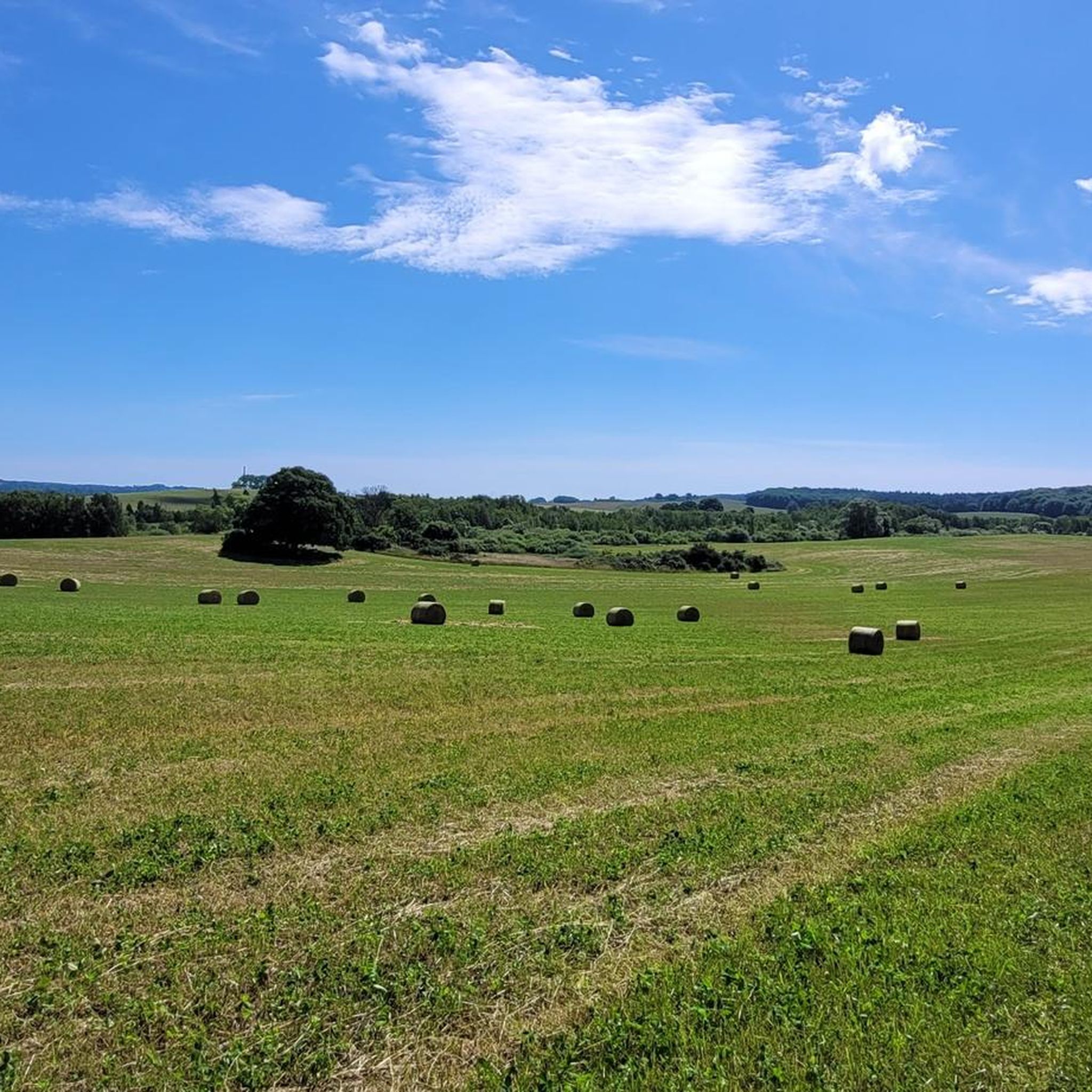
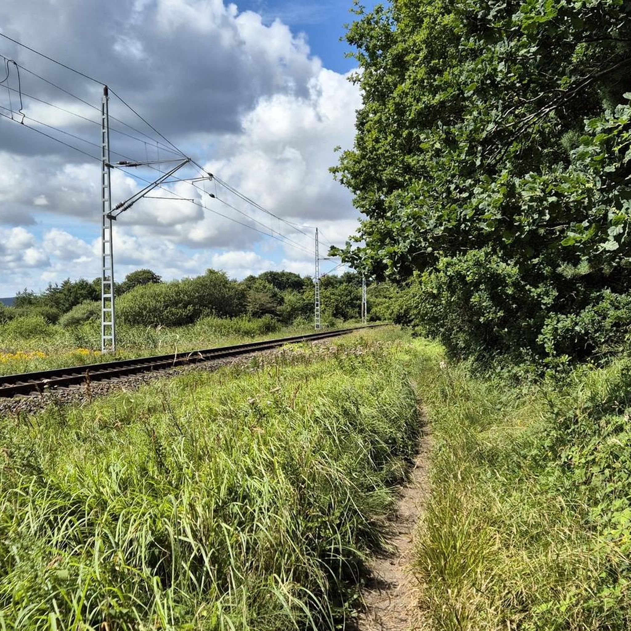

Tips from the Community

Beautiful path. It's nice to glide along there.
0
0

In the wooded area known as "Schmale Heide" between Mukran and Prora lies one of Germany's largest flint fields. Covering an area of 2,500 x 300 meters, this field was deposited after several storm surges approximately 3,500 to 4,000 years ago, depositing numerous flint stones washed from the chalk cliffs of the Jasmund peninsula. These are 14 consecutive ridges of flint, each about two kilometers long, running parallel to the Baltic Sea. They were washed ashore at that time and, due to their considerable weight, remained there.
1
0

From here you can see countless swans and cranes.
0
0

Beautiful views of the lagoon and the surrounding landscape. There's a path leading down to the beach; it consists of wooden steps which I found very easy to walk on.
0
0
Very impressive panoramic views of the landscape and the lagoon.
1
0


Beautiful stretch of coast, in good weather also a nice swimming spot
1
0
Frequently Asked Questions
How many hiking trails are available around Großer Wostevitzer Teich?
There are over 380 hiking routes available around Großer Wostevitzer Teich, offering a wide variety of options for different skill levels and preferences. This includes over 220 easy routes, 120 moderate routes, and nearly 30 more challenging trails.
Are there easy hiking routes suitable for beginners or families?
Yes, the region offers many easy routes perfect for beginners or families. For example, the Lietzow Coastal Path – View of the Jasmunder Bodden loop from Lietzow (Rügen) is an easy 7.4 km trail with gentle elevations, offering scenic views of the Jasmunder Bodden. Another accessible option is the View of the Jasmunder Bodden – Semper Castle Water Tower Ruin loop from Semper 2, which is about 4.7 km long.
What kind of terrain can I expect on hikes around Großer Wostevitzer Teich?
Hikes around Großer Wostevitzer Teich feature varied terrain, primarily characterized by coastal paths along the Jasmunder Bodden and trails winding through local woodlands. Elevations are generally gentle, making most routes accessible. You can expect a mix of natural paths and some paved sections, often with views of the water.
Are there any challenging trails for experienced hikers?
While many routes are easy to moderate, there are nearly 30 more challenging trails for experienced hikers seeking a longer or more demanding experience. These routes may cover greater distances or include more varied terrain, though significant elevation changes are not typical for the region.
Can I bring my dog on the hiking trails around Großer Wostevitzer Teich?
Generally, dogs are welcome on most hiking trails around Großer Wostevitzer Teich. However, it's always advisable to keep your dog on a leash, especially in nature protection areas, near wildlife, or when passing through populated areas. Please be mindful of local regulations and other hikers.
Are there good options for circular hikes in the area?
Yes, many of the trails around Großer Wostevitzer Teich are designed as circular routes, allowing you to start and end at the same point. Examples include the popular Lietzow Coastal Path – View of the Jasmunder Bodden loop from Lietzow (Rügen) and the Ralswiek Marina – Ralswiek Smoked Fish Boat loop from Lietzow (Rügen), which offers waterside scenery.
What are the best seasons for hiking around Großer Wostevitzer Teich?
The best seasons for hiking around Großer Wostevitzer Teich are typically spring (April to June) and autumn (September to October). During these times, the weather is usually mild, and the natural scenery is particularly beautiful, with blooming flora in spring and vibrant colors in autumn. Summer is also popular, but trails can be busier.
Are there places to eat or drink near the hiking trails?
Yes, you'll find various cafes, restaurants, and pubs in the towns and villages surrounding Großer Wostevitzer Teich, such as Lietzow and Ralswiek. Many of these establishments are conveniently located near popular trailheads or along the routes, offering opportunities for refreshments or a meal after your hike.
Where can I park my car when hiking around Großer Wostevitzer Teich?
Designated parking areas are available in the towns and villages near the main trailheads, such as in Lietzow. Look for public parking lots, often signposted, which provide convenient access to the hiking routes. Some routes, like the Lietzow parking lot – VPS1 Mega March Rügen loop from Lietzow (Rügen), even start directly from a parking facility.
Is public transport available to reach the trailheads?
Public transport options, primarily local bus services, connect the towns and villages around Großer Wostevitzer Teich. These services can help you reach various starting points for hikes. It's recommended to check local bus schedules in advance, especially if you plan to rely on public transport for your return journey.
What kind of wildlife or natural features can I see?
The region around Großer Wostevitzer Teich is rich in natural beauty. You can expect to see diverse birdlife, especially along the Jasmunder Bodden and in the woodlands. The area's characteristic features include the coastal landscapes, the serene lake itself, and the mixed forests that provide a tranquil hiking environment.
Are there any permits required for hiking in this region?
No specific permits are generally required for hiking on the public trails around Großer Wostevitzer Teich. However, always respect private property, stay on marked paths, and adhere to any local signage regarding nature protection areas or restricted access.
What do other hikers say about the trails around Großer Wostevitzer Teich?
The trails around Großer Wostevitzer Teich are highly rated by the komoot community, with an average score of 4.6 stars from over 11,900 reviews. Hikers often praise the beautiful lake views, the peaceful woodland sections, and the well-maintained paths that make for an enjoyable outdoor experience.
Are there any hidden viewpoints or scenic spots?
Many trails offer picturesque views of the Jasmunder Bodden and the surrounding landscape. While there aren't widely publicized 'hidden' viewpoints, exploring the various coastal paths will often lead you to serene spots with excellent photo opportunities and tranquil vistas over the water and forests.
Most popular routes around Großer Wostevitzer Teich

Get inspired with the komoot mobile app


Explore more
Browse the best Hikes in other regions.
