The best walks and hikes around Riedensee
4.5
(5434)
30,667
hikers
366
hikes
Hiking around Riedensee is characterized by its proximity to the Baltic Sea coast and the lake itself. The landscape features flat terrain, often leading through coastal areas, beaches, and open fields. Routes frequently offer views of the sea and nearby lighthouses, with minimal elevation changes. This region provides accessible walking opportunities for various skill levels.
Best hiking trails around Riedensee
- The most popular hiking route is View of Bastorf Lighthouse – Bastorf Lighthouse and Fields loop from Riedensee, a 3.0 miles (4.8 km) trail that takes 1 hour 18 minutes to complete. This easy route offers views of the lighthouse and surrounding fields.
- Another top favourite among local hikers is View of Kühlungsborn West – Riedensee Beach loop from Bastorf, a moderate 5.9 miles (9.5 km) path. This trail features coastal scenery and views of Kühlungsborn West.
- Local hikers also love the Riedensee Beach loop from Riedensee, a 2.4 miles (3.9 km) trail leading through coastal landscapes, often completed in about 59 minutes.
- Hiking around Riedensee is defined by coastal paths, lake views, and open fields. The network offers options for different ability levels, from easy strolls to moderate walks.
- The routes in Riedensee are highly rated by the komoot community with an average score of 4.5 stars from over 5000 reviews. More than 30000 hikers have used komoot to explore Riedensee's varied terrain.
Last updated: June 24, 2026
4.6
(30)
111
hikers
Easy hike. Great for any fitness level. Easily-accessible paths. Suitable for all skill levels.
4.3
(12)
52
hikers
3.32km
00:50
0m
0m
Easy hike. Great for any fitness level. Easily-accessible paths. Suitable for all skill levels.

Sign up for free
5.0
(10)
31
hikers
4.83km
01:15
20m
20m
Easy hike. Great for any fitness level. Easily-accessible paths. Suitable for all skill levels.
5.0
(2)
28
hikers
Easy hike. Great for any fitness level. Easily-accessible paths. Suitable for all skill levels.
3.0
(1)
18
hikers
3.86km
00:59
10m
10m
Easy hike. Great for any fitness level. Easily-accessible paths. Suitable for all skill levels.
Get access to more routes and recommendations from other explorers.
Sign up for free
Already have an account?
Our route recommendations are based on thousands of hikes, rides, and runs completed by other people on komoot.
Start today with a free account
Your next adventure awaits.
Login or Signup

Tips from the Community

Notice regarding the route between Meschendorf and the Riedensee parking area: The coastal path is officially closed due to erosion of the shoreline. Passage is currently still possible on foot, but at your own risk. The section is not suitable for bicycles.
0
0

Near Meschendorf, shoreline collapses are a recurring problem caused by surf and coastal erosion. The coastal path is impassable at these locations because sections of the route have been washed away or severely damaged. Cyclists and walkers are forced to use detours. Such coastal collapses are a striking example of the dynamic power of the Baltic Sea and the need for coastal protection measures in the region.
1
0
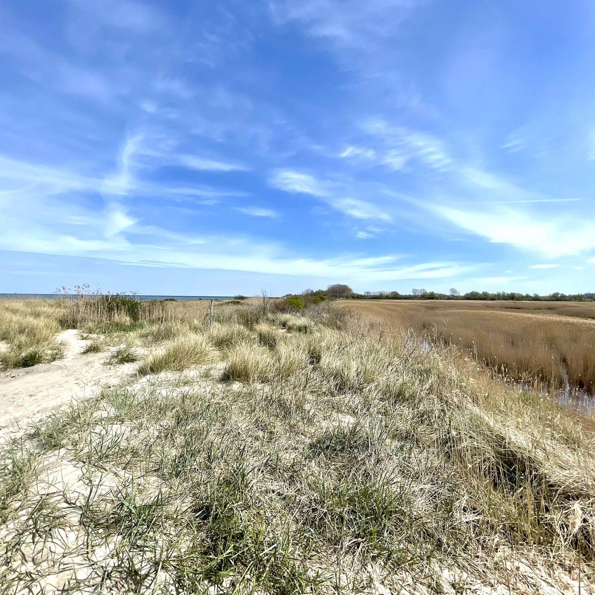
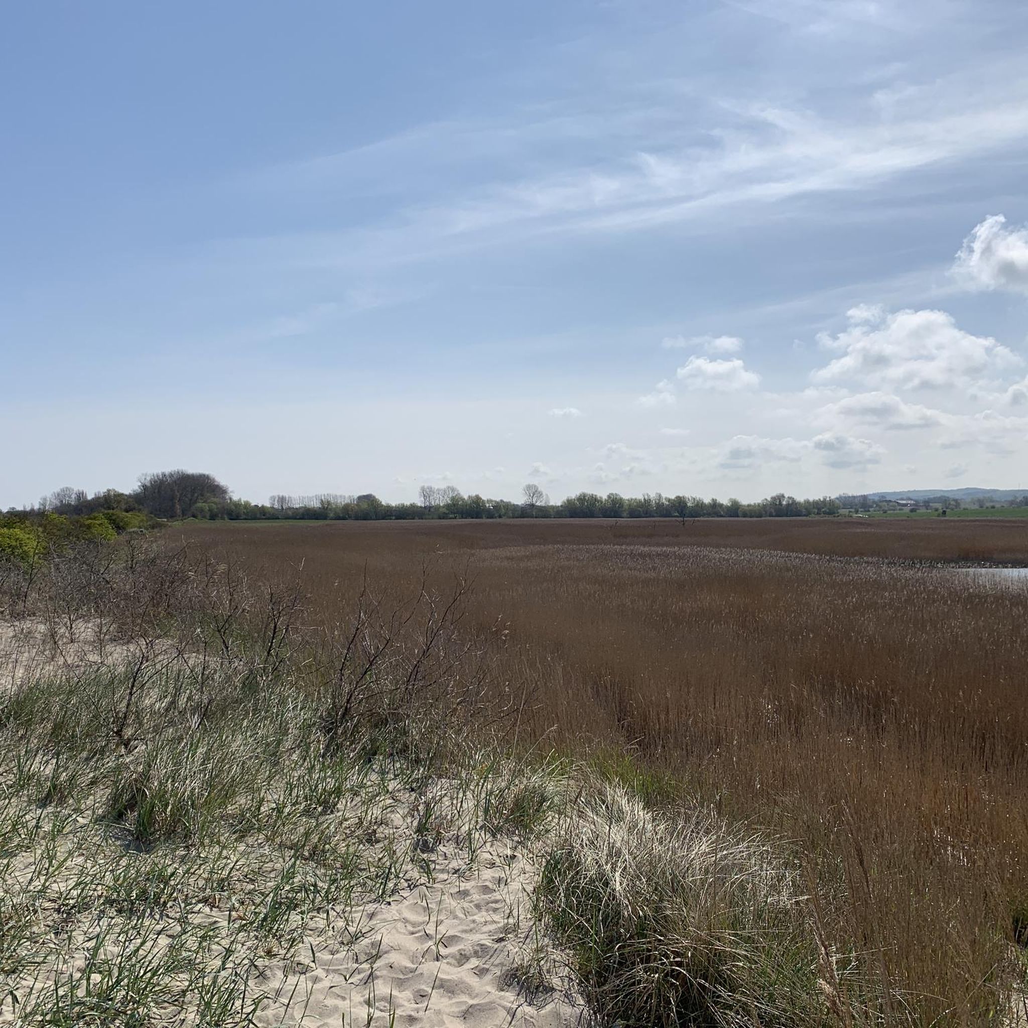
From the Signalberg, you can enjoy an impressive view over Lake Riedensee and the Baltic Sea. Perched high above the coast, a sweeping panorama opens up: In the foreground lies the serenely shimmering Lake Riedensee, framed by dunes and reed beds, and beyond it stretches the vast, blue Baltic Sea. On a clear day, you can see as far as the Wustrow peninsula and far along the coast. The Signalberg is a popular vantage point for walkers and nature lovers who enjoy the tranquility, the fresh sea breeze, and the unique view over the protected landscape.
3
0
At Riedensee, several viewing platforms invite you to experience the impressive natural beauty of the Baltic Sea coast up close. From here, you have a sweeping view of the lake, the dune landscape, and the sea. Nature lovers and photographers especially appreciate the platforms, as they offer ideal observation points for migratory birds and other animal species. Even at sunrise or sunset, a fascinating panorama unfolds from there, impressively highlighting the tranquil beauty of the nature reserve surrounding Riedensee.
2
0


At the parking lot 😃
10
0

The building fits there and beautifully
0
0

From here you can see the vineyards, but there are better places to do so: either directly from the viewing platforms on the beach or from the top of the lighthouse or the path there.
0
0
Frequently Asked Questions
How many hiking trails are available around Riedensee?
There are over 350 hiking routes around Riedensee, offering a wide range of options for different preferences and fitness levels. The majority are easy to moderate, with a few more challenging trails available.
Are there easy and beginner-friendly hikes around Riedensee?
Yes, Riedensee is known for its accessible, flat terrain, making it ideal for easy and beginner-friendly hikes. Over 230 of the routes are classified as easy. A great option is the Riedensee Beach loop from Riedensee, which is a gentle 3.9 km walk along the coast.
What are the typical lengths of hikes around Riedensee?
Hikes around Riedensee vary in length, but many popular routes are between 4 km and 13 km. For example, the View of Bastorf Lighthouse – Bastorf Lighthouse and Fields loop from Riedensee is 4.8 km, while the Meschendorf Beach – Rerik Coastal Trail loop from Riedensee extends to 13.1 km.
Are there family-friendly hiking trails in Riedensee?
Absolutely. The generally flat terrain and scenic coastal paths make many routes around Riedensee suitable for families. Look for the 'easy' classified routes, which often feature gentle gradients and interesting sights like the beach or lighthouse views, perfect for all ages.
Are dogs allowed on the hiking trails around Riedensee?
Many trails around Riedensee are dog-friendly, especially those through open fields and along the coast. However, it's always recommended to keep dogs on a leash, particularly in nature reserve areas like the Riedensee itself, and to check local signage for any specific restrictions.
What is the best time of year to hike around Riedensee?
The best time to hike around Riedensee is typically from spring through autumn (April to October), when the weather is mild and the coastal scenery is at its most vibrant. Summer offers pleasant temperatures for beach walks, while spring and autumn provide fewer crowds and beautiful natural colors.
Can I hike around Riedensee in winter?
Yes, hiking around Riedensee is possible in winter, offering a different, often serene experience. The flat paths are generally accessible, though some coastal sections might be exposed to strong winds. Dress warmly and be prepared for potentially icy conditions, especially near the lake or on shaded paths.
Are there circular hiking routes around Riedensee?
Yes, many of the trails around Riedensee are designed as circular routes, allowing you to start and end at the same point. Examples include the View of Bastorf Lighthouse – Bastorf Lighthouse and Fields loop from Riedensee and the View of Kühlungsborn West – Riedensee Beach loop from Bastorf.
What are the best viewpoints or scenic spots on hikes around Riedensee?
Hikes around Riedensee offer numerous scenic spots, primarily featuring views of the Baltic Sea, the lake itself, and the iconic Bastorf Lighthouse. The Meschendorf Beach – View of the Baltic Sea loop from Riedensee is particularly noted for its coastal vistas.
Where can I park for hiking trails around Riedensee?
Parking is generally available at various access points to the hiking trails, especially near popular starting locations in towns like Bastorf or Kühlungsborn. Look for designated parking areas near the coast or trailheads, though some may require a fee.
Are there cafes or places to eat near the hiking trails?
Yes, given the proximity to coastal towns like Kühlungsborn and other smaller villages, you'll find cafes and restaurants within reasonable distance of many hiking trails. These offer opportunities for refreshments and meals before or after your hike.
What do other hikers enjoy the most about hiking in Riedensee?
The area is highly rated by the komoot community, with an average score of 4.5 stars. Reviewers often praise the diverse coastal scenery, the tranquil lake views, and the well-maintained, accessible paths that cater to all skill levels.
Most popular routes around Riedensee

Get inspired with the komoot mobile app


Explore more
Browse the best Hikes in other regions.
