The best road cycling routes around Boronda
107
riders
13
rides
Road cycling routes around Boronda are situated within the Salinas Valley, characterized by agricultural landscapes and distant views of surrounding mountain ranges. The area benefits from ongoing infrastructure improvements, including buffered bike lanes and shared-use paths, enhancing safety for cyclists. While primarily residential and agricultural, Boronda's location offers access to varied terrain suitable for road cycling. The region provides a mix of flat valley roads and routes with more significant elevation changes towards the surrounding hills.
Best road cycling routes…
Last updated: October 11, 2026
16
riders
59.3km
02:39
450m
450m
Moderate road ride. Good fitness required. Mostly well-paved surfaces and easy to ride.
14
riders
79.0km
03:57
1,210m
1,210m
Hard road ride. Very good fitness required. Mostly well-paved surfaces and easy to ride.

20
riders
70.3km
03:27
550m
550m
Moderate road ride. Good fitness required. Mostly well-paved surfaces and easy to ride.
8
riders
47.4km
02:23
610m
610m
Moderate road ride. Good fitness required. Mostly well-paved surfaces and easy to ride.
9
riders
116km
05:41
1,600m
1,600m
Hard road ride. Very good fitness required. Some segments of this route may be unpaved and difficult to ride.
Get access to more routes and recommendations from other explorers.
Already have an account?
Our route recommendations are based on thousands of hikes, rides, and runs completed by other people on komoot.
Start today with a free account
Your next adventure awaits.

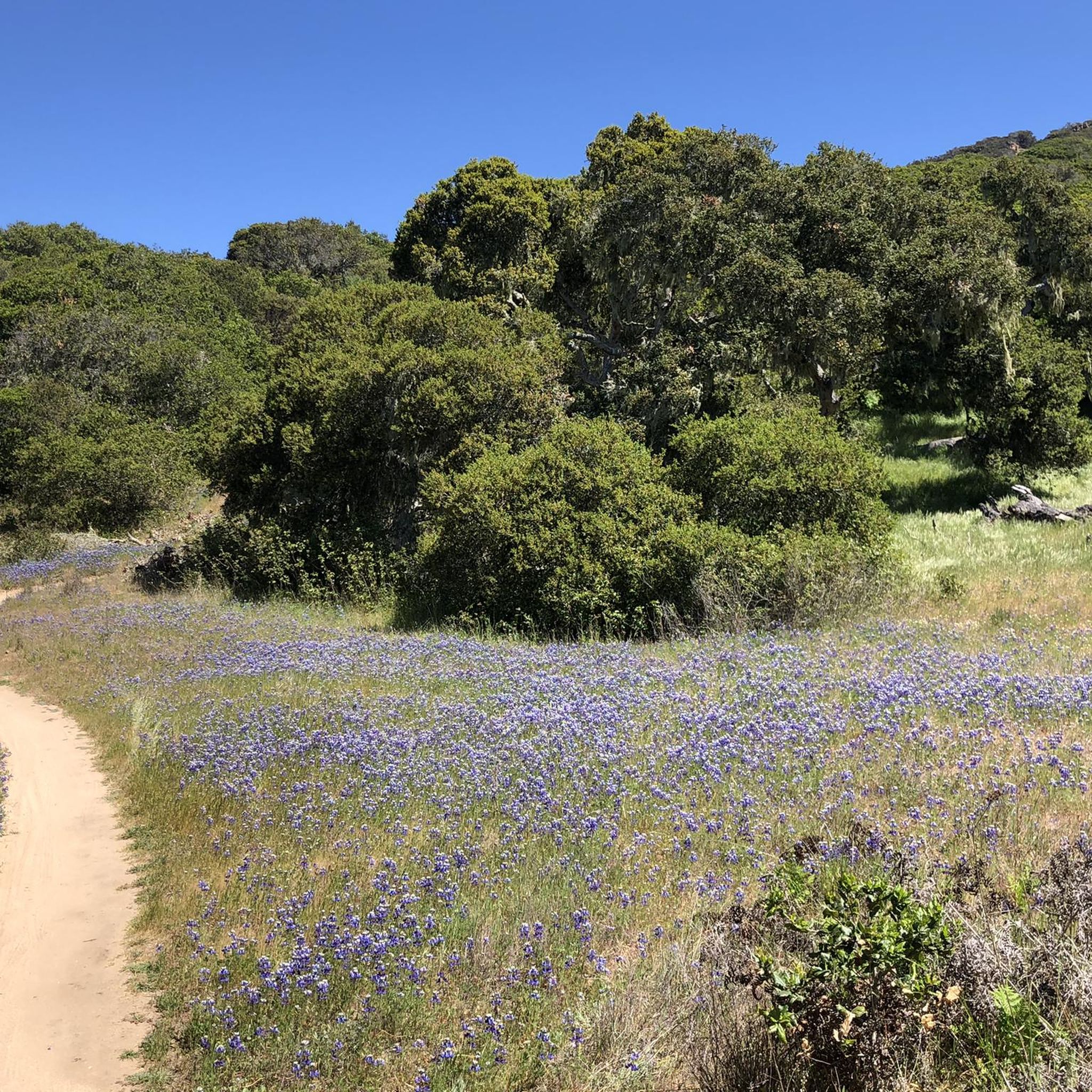
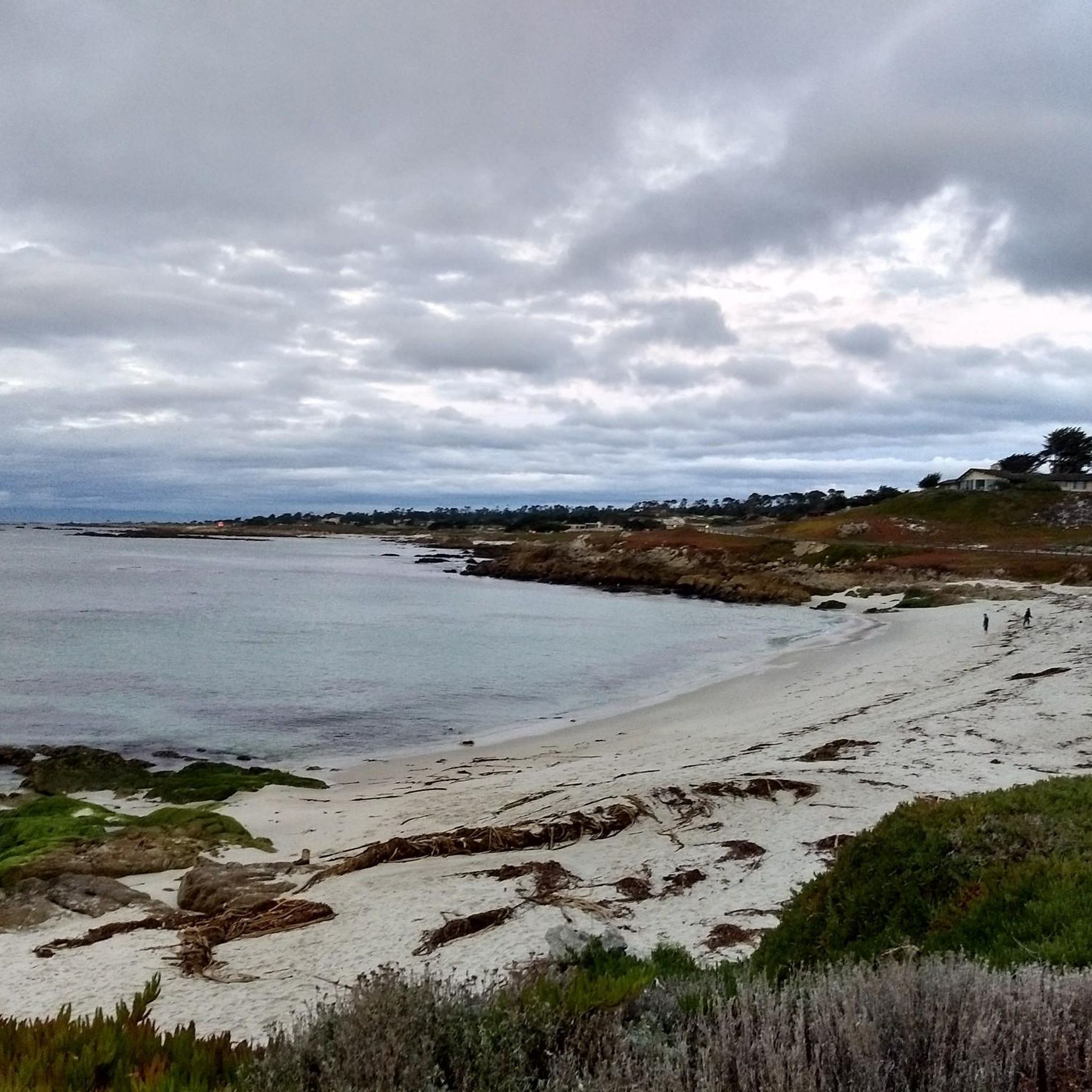
Tips from the Community

Great pavement. The other side has very poor pavement.
0
0


Carmel Valley Village is a picturesque, small, rural community nestled in the rolling hills of Monterey County close to the coast and Carmel-by-the-Sea. Known for its world-class wineries, art galleries, and upscale resorts, it is relaxed yet fancy, with stunning views in every direction. There are plenty of highly rated restaurants and cafes here, ideal if you want to treat yourself to lunch during a long ride.
0
0

A good spot to start or finish a ride in Monterey. Easy to access with flat paths around the lake, it connects well to city streets and coastal routes for planning longer rides.
0
0
A classic Monterey County climb with sweeping switchbacks and big views over Carmel Valley. It’s a tough but rewarding ride—steady grades, little traffic, and a perfect spot to pause at the top and soak in the panorama before the fast descent.
0
0
Carmel Valley Village is a picturesque, small, rural community nestled in the rolling hills of Monterey County close to the coast and Carmel-by-the-Sea. Known for its world-class wineries, art galleries, and upscale resorts, it is relaxed yet fancy, with stunning views in every direction. There are plenty of highly rated restaurants and cafes here, ideal if you want to treat yourself to lunch during a long ride.
0
0

Large county park with great gravel trails in the golden hills, excellent picnic spots for a break, and majestic redwood groves
3
0
Frequently Asked Questions
How many road cycling routes are available in Boronda?
There are over 10 road cycling routes around Boronda, offering a variety of experiences for different skill levels. These routes have been explored and shared by the komoot community.
What kind of terrain can I expect on road cycling routes around Boronda?
Road cycling routes around Boronda are primarily situated within the Salinas Valley, featuring agricultural landscapes and distant views of surrounding mountain ranges. You'll find a mix of flat valley roads and routes with more significant elevation changes as you head towards the surrounding hills.
Are there dedicated cycling paths or infrastructure in Boronda?
Yes, Boronda is becoming more cyclist-friendly due to the Boronda Road Congestion Relief Project. This initiative includes the construction of buffered bike lanes and shared-use paths, enhancing safety for cyclists and pedestrians.
Are there road cycling routes suitable for beginners or families?
Yes, Boronda offers several routes suitable for those looking for an easier ride. For example, the Gigling Road gate loop from East Garrison is an easy 18.1 miles (29.2 km) route with minimal elevation gain, perfect for a more relaxed outing.
Can you recommend a challenging road cycling route for experienced cyclists?
For experienced cyclists seeking a challenge, the Salinas 🏘️ Main Street – National Steinbeck Center 📖 loop from Salinas is a difficult 49.1 miles (79.0 km) route with over 1,200 meters of elevation gain. Another demanding option is the Laureles Grade Panorama – West Carmel River Valley Road loop from Salinas, which spans 71.9 miles (115.8 km) with significant climbs.
Are there circular road cycling routes in Boronda?
Many of the road cycling routes in Boronda are designed as loops, allowing you to start and end at the same point. Examples include the Toro County Park & Estates loop from Spreckels Crossing / 121 Spreckels Blvd and the Gigling Road gate loop from East Garrison.
What historical landmarks can I see while cycling near Boronda?
While cycling near Boronda, you can explore significant historical sites. The Boronda Adobe History Center, a well-preserved example of Mexican-era rancho architecture, offers a glimpse into the region's past. Additionally, parts of the Juan Bautista de Anza National Historic Trail are in the wider vicinity, retracing an important expedition route.
Are there any natural attractions or scenic viewpoints along the routes?
The routes offer views of the agricultural Salinas Valley and distant mountain ranges. While Boronda itself is primarily residential, its proximity to areas like Fort Ord National Monument provides access to vast protected landscapes and open terrain, offering scenic vistas.
Are there places to stop for refreshments or coffee near the cycling routes?
Yes, you can find places for refreshments. For instance, Pezzini Farms & coffee is a highlight located near some of the cycling routes, offering a convenient stop for a break.
What is the best time of year for road cycling in Boronda?
Monterey County generally enjoys a mild climate, making road cycling enjoyable for much of the year. Spring and fall often provide ideal temperatures and clear skies, though summer mornings can also be pleasant before the heat of the day.
Where can I find parking for road cycling routes in Boronda?
While specific parking areas for each route may vary, many routes start from urban or park areas where public parking is typically available. It's advisable to check the starting point of your chosen route for specific parking recommendations.
Most popular routes around Boronda
Most popular attractions around Boronda

Get inspired with the komoot mobile app


Explore more
Browse the best Road cycling routes in other regions.
