The best walks and hikes around Bonita
4.5
(26)
313
hikers
43
hikes
Hiking around Bonita offers routes through rolling hills and alongside the Sweetwater Reservoir. The landscape in this part of San Diego County includes a mix of open parkland, river valleys, and chaparral-covered slopes. Many trails are located within regional parks, providing varied terrain from flat paths to moderate climbs.
Best hiking trails around Bonita
- The most popular hiking route is Sweetwater Reservoir to Cactus Hill, a 4.7 miles (7.6 km) trail that takes about 2 hours 8 minutes to…
Last updated: July 7, 2026
2
hikers
7.59km
02:08
150m
160m
The Sweetwater Reservoir trails offer a delightful escape into San Diego's natural beauty, leading you on a moderate 4.7-mile (7.6 km) journey to Cactus Hill. With 505 feet (154 metres)…
2
hikers
7.37km
02:05
170m
120m
The SD Aqueduct and Sweetwater Dam Service Roads offer a moderate 4.6-mile (7.4 km) hike, providing a unique blend of natural chaparral scenery and impressive historical infrastructure. You'll navigate compacted…

Sign up for free
6.89km
02:10
400m
30m
The hike up Mother Miguel Mountain via Sweetwater Park offers a dynamic experience, transitioning from sagebrush and wild grass to rocky, steep sections as you climb. You'll enjoy increasingly impressive…
2.96km
00:45
0m
10m
Embark on an easy hike along the Sweetwater Park Trail, a gentle route spanning 1.8 miles (3.0 km). You will encounter diverse scenery, from views of a golf course to…
32.1km
08:12
110m
120m
The Sweetwater Bike Route offers a challenging hiking experience across 19.9 miles (32.1 km) within Sweetwater Regional Park. You will encounter a diverse landscape, from paved sections alongside the Sweetwater…
Get access to more routes and recommendations from other explorers.
Sign up for free
Already have an account?
Our route recommendations are based on thousands of hikes, rides, and runs completed by other people on komoot.
Start today with a free account
Your next adventure awaits.
Login or Signup
Tips from the Community


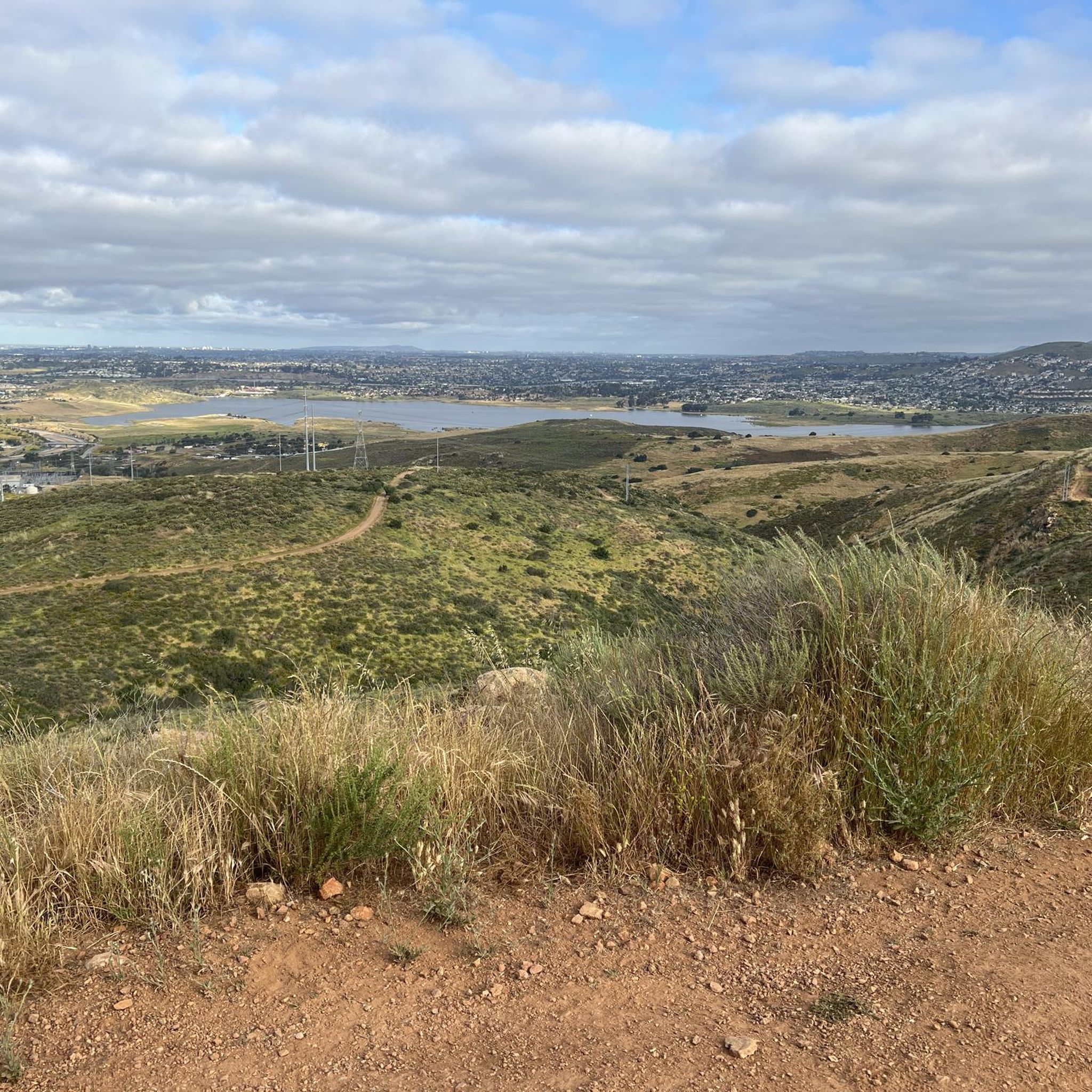
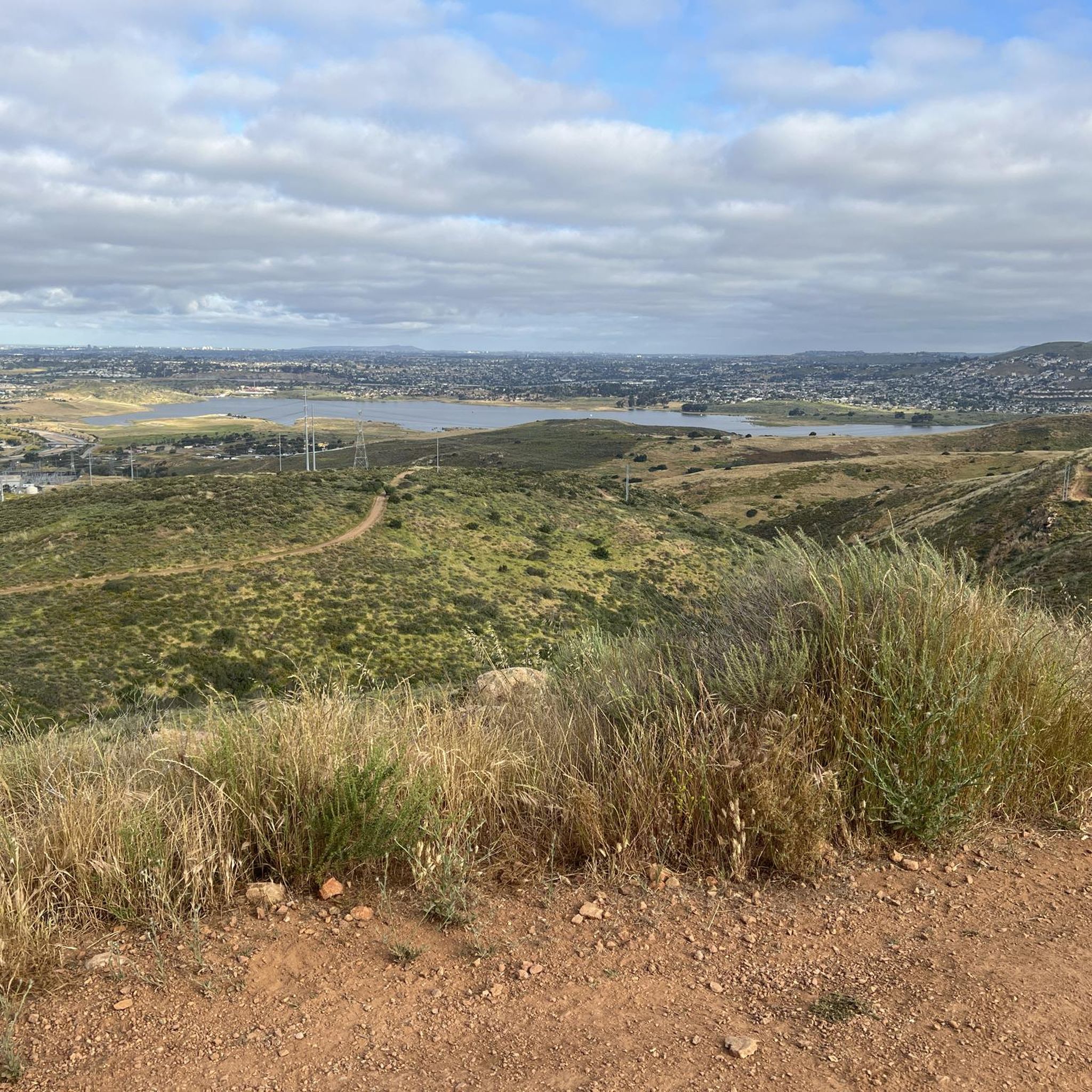
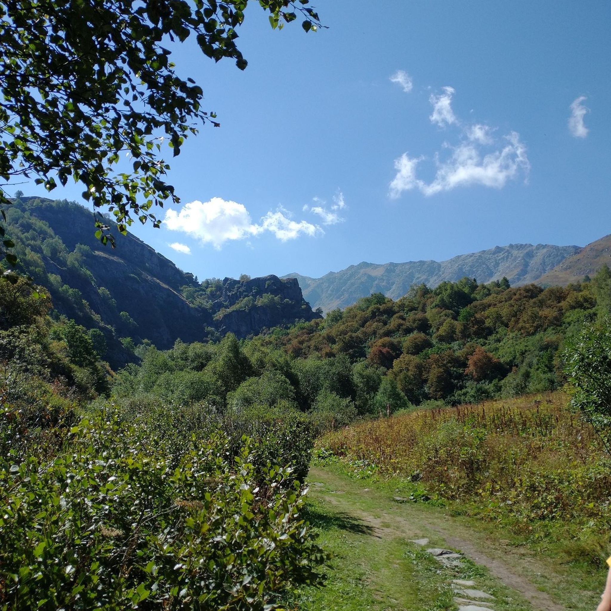
The paths around Sweetwater Reservoir are primarily well-worn dirt, with most junctions clearly signed, though some of the less frequented routes can become overgrown. As you near San Miguel Mountain, the terrain becomes increasingly rugged and challenging, while open views of the reservoir and surrounding hills remain a constant backdrop.
1
0

Sweetwater Bike Park offers a variety of features for mountain bikers of all skill levels, including four jump lines ranging from beginner to expert, a kid's pump track, a skill zone, two flow trails, and a perimeter trail.
0
0
San Diego National Wildlife Refuge encompasses diverse habitats across 3,920 acres, providing a sanctuary for native plants and wildlife. Visitors can explore its trails, promoting conservation awareness and appreciation.
0
0

Sweetwater Reservoir is a man-made lake created by the Sweetwater Dam in 1888. It is a popular location for hiking and you can enjoy awesome scenery and wildlife in the surrounding trails.
2
0
The Sweetwater Summit Regional Park offers some nice views of the Sweetwater Reservoir and entrance to a couple of hiking trails, picnic areas and campgrounds.
0
0

The trails bordering Sweetwater Reservoir are mostly smooth dirt paths. Most of the intersections are marked, but the lesser used trails get overgrown at times. As you run closer to San Miguel Mountain, the trails get progressively rockier, steeper, and much more technical. All of the trails are pretty open with views of the reservoir and foothills nearly the entire time.
1
0
Frequently Asked Questions
Are hiking trails in Bonita dog-friendly?
Many trails in the Bonita area are dog-friendly, but policies can vary between parks. Trails within Sweetwater Summit Regional Park and Rohr Park generally welcome dogs on a leash. Always check the specific regulations for the park you plan to visit before you go and be prepared to clean up after your pet.
What are some good easy, family-friendly hikes in the Bonita area?
For a gentle and accessible outing, the Sweetwater Park Trail loop — Rohr Park is an excellent choice. It's a flat path through expansive green fields and eucalyptus groves, making it suitable for all ages and fitness levels.
Are there any difficult hikes near Bonita?
Yes, while most trails are easy to moderate, there is at least one difficult hike available for those seeking a challenge. The terrain around Bonita is varied enough to offer strenuous climbs with significant elevation gain, providing a solid workout for experienced hikers.
What are the trails in Sweetwater Summit Regional Park like for beginners?
Sweetwater Summit Regional Park is quite suitable for beginners. It offers a variety of trails, including shorter, relatively flat options. For an easy introduction, consider the Summit Park Trail and Lake View Trail loop, which is a short walk with minimal elevation change but still provides lovely views.
How many hiking trails are there around Bonita?
You can explore over 20 different hiking routes around Bonita. The network includes a mix of easy, moderate, and difficult trails, offering plenty of options for everyone from casual walkers to seasoned hikers.
Are there any circular or loop hikes available?
Yes, many of the popular hikes in Bonita are loop trails, allowing you to enjoy a varied route without backtracking. A great example is the Snake Trail and Rice Canyon Trail loop, which takes you through the scenic Rice Canyon Open Space Preserve.
What do other hikers think of the trails in Bonita?
The trails around Bonita are well-regarded by the komoot community, earning an average rating of over 4 stars. Hikers often praise the beautiful views of the Sweetwater Reservoir and the well-maintained paths through the region's rolling hills.
Are there any hiking trails with waterfalls in Bonita?
The hiking trails in Bonita are primarily known for their rolling hills and reservoir views, not for waterfalls. The local climate is quite dry, so significant waterfalls are not a feature of the landscape in this part of San Diego County.
Are Bonita Falls or the Bonita Canyon Trail located in Bonita, San Diego?
No, this is a common point of confusion. Bonita Falls is located in the San Bernardino National Forest, and the Bonita Canyon Trail is in Newport Beach. Neither of these popular trails is located in the Bonita community within San Diego County.
What is the terrain like on the trails in Rice Canyon Open Space Preserve?
The trails in Rice Canyon generally feature gentle, rolling terrain with some flat sections. You'll be walking on dirt paths through a mix of native chaparral and grasses. It's a relatively easy-going environment, making it popular for walking, hiking, and trail running.
Are any of the trails in Rohr Park suitable for strollers?
Yes, Rohr Park has paved and flat dirt trails that are generally suitable for strollers. The park's wide-open spaces and gentle paths make it a popular spot for families with young children.
What kind of scenery can I expect when hiking to Mother Miguel Mountain?
The hike up to Mother Miguel Mountain via the Rock House Trail involves a steady climb through chaparral-covered hills. As you gain elevation, you'll be rewarded with expansive views of the Sweetwater Reservoir, the surrounding communities, and the broader San Diego landscape.
Most popular attractions around Bonita

Get inspired with the komoot mobile app


Explore more
Browse the best Hikes in other regions.
