The best road cycling routes around Bloomfield
4.6
(8)
359
riders
49
rides
Road cycling routes around Bloomfield offer a diverse landscape for cyclists. The region features a mix of rolling hills and coastal proximity, providing varied terrain. Cyclists can expect routes that traverse agricultural areas and lead towards the Pacific coastline. The elevation changes range from gentle inclines to more significant climbs, catering to different fitness levels.
Best road cycling routes around Bloomfield
- The most popular road cycling route is Dos Piedras loop from Petaluma Center, a 26.8 miles (43.2 km)…
Last updated: June 25, 2026
3.5
(2)
50
riders
44.4km
02:00
120m
120m
Moderate road ride. Good fitness required. Mostly well-paved surfaces and easy to ride.
10
riders
82.8km
04:16
1,210m
1,210m
Hard road ride. Very good fitness required. Some segments of this route may be unpaved and difficult to ride.

Sign up for free
8
riders
36.0km
01:52
420m
420m
Moderate road ride. Good fitness required. Mostly well-paved surfaces and easy to ride.
10
riders
47.7km
02:52
860m
860m
Moderate road ride. Good fitness required. Mostly well-paved surfaces and easy to ride.
6
riders
50.0km
02:41
760m
760m
Moderate road ride. Good fitness required. Mostly well-paved surfaces and easy to ride.
Get access to more routes and recommendations from other explorers.
Sign up for free
Already have an account?
Our route recommendations are based on thousands of hikes, rides, and runs completed by other people on komoot.
Start today with a free account
Your next adventure awaits.
Login or Signup
Popular around Bloomfield
Tips from the Community

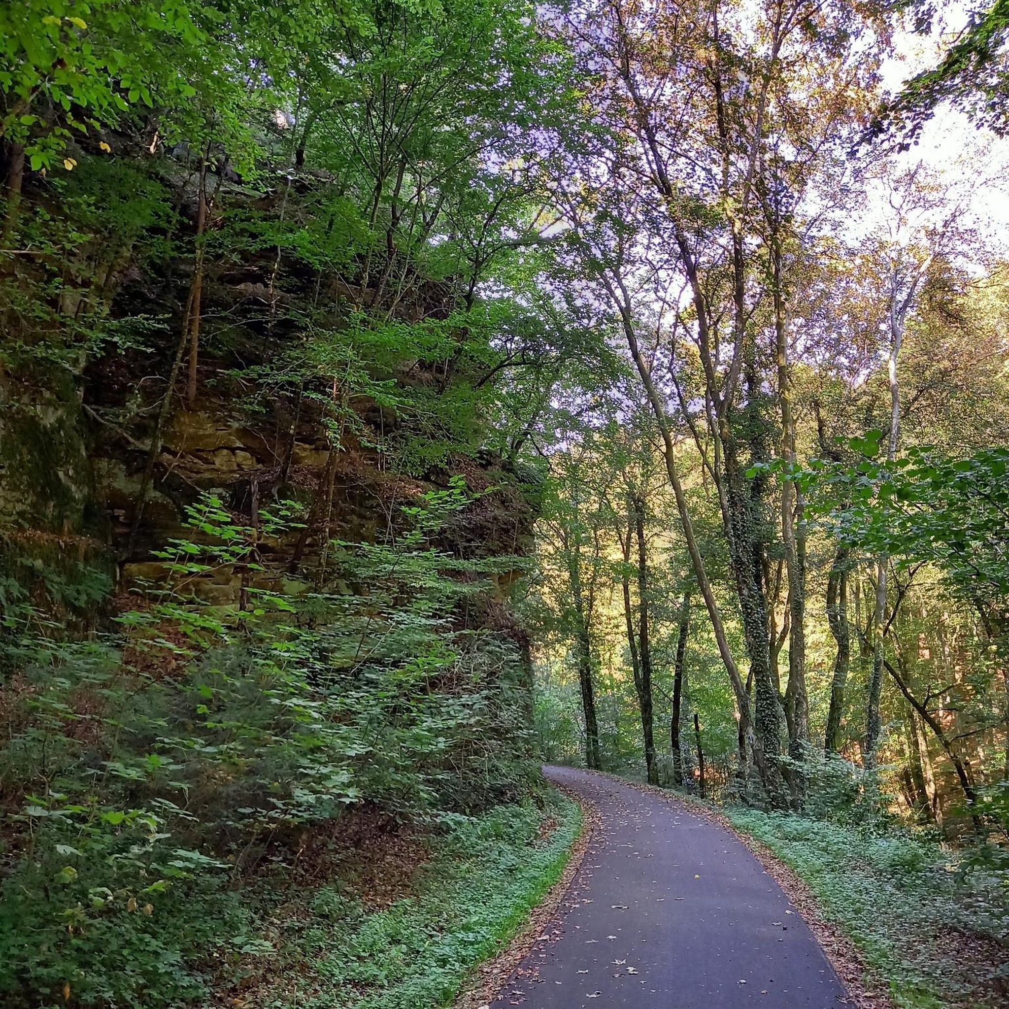
Pedestrian wooden bridge that has some steps, leading onto narrow but mostly quite residential roads into the forest.
0
0
Bohemian Highway winds along the shaded creekside. There is not much shoulder, but this segment is short, then there are again options to hop on trails up into the hills.
0
0
Iconic free standing granite outcrops with caves and polished walls to explore, visible from far away at the top of Dillon Beach Road. A social trail climbs down to explore the caves and cool area between the tall free-standing rock walls.
0
0

Bodega Highway follows scenic Salmon Creek for a few miles as both wind through the Sonoma countryside. Keep an eye out for wineries in the rolling hills.
0
0

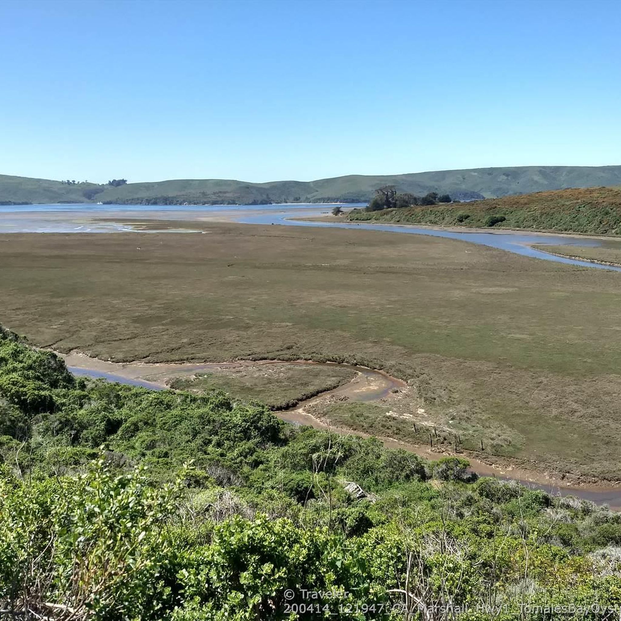
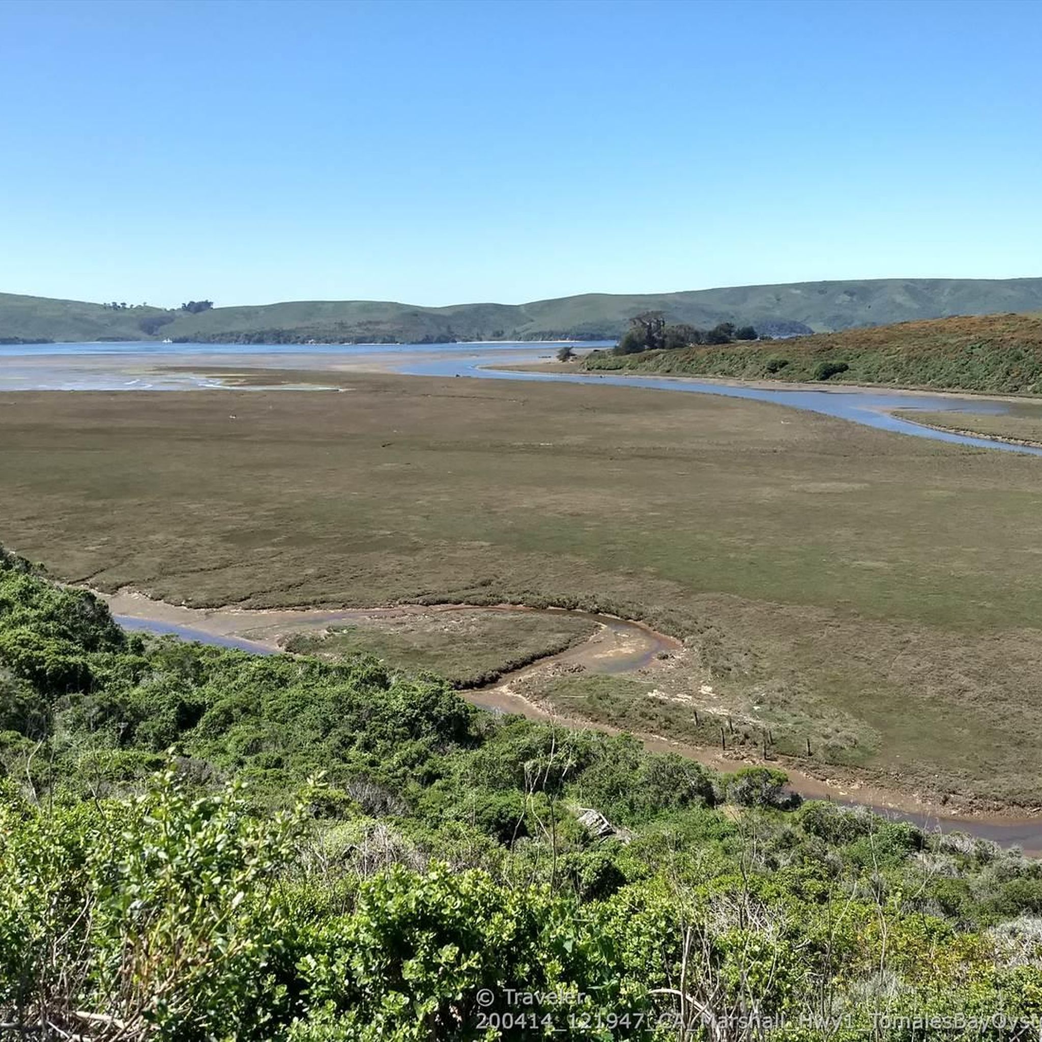
This small coastal lagoon is formed by a sandbar that dams Stemple Creek, which starts in the hills of Marin County and flows west near the mouth of Tomales Bay, southeast to Bodega Bay, northwest of Dillon Beach. A variety of seabirds and water species rely on its natural environment, including 923 acres of associated wetlands. The California Department of Fish and Wildlife identifies this marine protected area as one of the most significant habitat areas in the state.
1
0

Beautiful scenery, lots of vineyards, and a number of the roads are newly paved. Not long ago you could lose a filling on some of these roads.
0
0
Smooth hard-pack, partially paved multi-use trail along Piner Creek
0
0
Excellent green hiking trail shared with bikes all through the urban area of Santa Rosa along the creek, without seeing any car traffic
0
0
Frequently Asked Questions
What kind of terrain can I expect on road cycling routes around Bloomfield?
Road cycling routes around Bloomfield feature a diverse landscape, primarily characterized by rolling hills, agricultural valleys, and proximity to the Pacific coastline. You'll find a mix of gentle inclines and more significant climbs, catering to various fitness levels. For example, the Dos Piedras loop from Petaluma Center offers moderate elevation gain through the local countryside, while the Petersen Creek Bike Bridge – Santa Rosa Creek Trail loop from Sebastopol provides a relatively flat profile along creek trails.
How many road cycling routes are available in the Bloomfield area?
There are over 40 road cycling routes available around Bloomfield on komoot, offering a wide range of options for cyclists. These routes are highly rated by the komoot community, with an average score of 4.5 stars.
What are the difficulty levels of road cycling routes in Bloomfield?
The routes around Bloomfield cater to various skill levels. You'll find 6 easy routes, 33 moderate routes, and 5 difficult routes, ensuring there's something for everyone, from casual riders to those seeking a challenge.
Are there any long-distance road cycling routes near Bloomfield?
Yes, Bloomfield offers several routes suitable for longer rides. For instance, the Salmon Creek – North Salmon Creek Beach loop from Occidental is a challenging 32.2-mile (51.9 km) trail that leads through coastal hills, perfect for a longer excursion.
What are some scenic viewpoints or attractions along the road cycling routes?
Many routes offer scenic views of agricultural valleys and coastal landscapes. You can cycle through charming settlements like Tomales, Sebastopol, and Valley Ford. The Joe Rodota Trail, connecting Santa Rosa to Sebastopol, is a popular cycleway, and the Salmon Creek Valley also offers beautiful cycling sections.
Are there any loop road cycling routes around Bloomfield?
Yes, many routes around Bloomfield are designed as loops, allowing you to start and end in the same location. Examples include the Dos Piedras loop from Petaluma Center and the Petersen Creek Bike Bridge – Santa Rosa Creek Trail loop from Sebastopol.
What is the best time of year for road cycling near Bloomfield?
Given the region's coastal proximity and agricultural valleys, spring and fall generally offer pleasant temperatures and beautiful scenery for road cycling. Summers can be warm, especially inland, while winters might bring rain, though cycling is often possible year-round on drier days.
Are there beginner-friendly road bike routes in Bloomfield?
Yes, Bloomfield offers several routes suitable for beginners. The Petersen Creek Bike Bridge – Santa Rosa Creek Trail loop from Sebastopol, for example, is a moderate route with a relatively flat profile, making it a good option for those new to road cycling or looking for an easier ride.
What do other road cyclists enjoy most about road cycling in Bloomfield?
The area is highly rated by the komoot community, with an average score of 4.5 stars from over 10 reviews. Cyclists often praise the diverse terrain, from rolling hills to coastal views, and the network of routes that cater to different ability levels.
Are there challenging road bike climbs in the Bloomfield area?
Yes, for those seeking a challenge, Bloomfield offers routes with significant elevation gains. The Salmon Creek – North Salmon Creek Beach loop from Occidental, for instance, features over 900 meters of elevation gain through coastal hills, providing a demanding ride.
Can I find routes that combine cycling with other activities or attractions?
While the routes are primarily focused on road cycling, the region's proximity to charming towns like Sebastopol and Tomales means you can easily combine your ride with exploring local shops, cafes, or enjoying the agricultural scenery. The Hopmonk Beergarden 🍺 loop from Sebastopol even suggests a stop at a local establishment.
Most popular routes around Bloomfield
Most popular attractions around Bloomfield

Get inspired with the komoot mobile app


Explore more
Browse the best Road cycling routes in other regions.
