The best walks and hikes around Black Point-Green Point
4.6
(22)
347
hikers
39
hikes
Hikes near Black Point-Green Point Novato explore the landscape of Marin County, situated between the city and the Petaluma River. The area is characterized by coastal wetlands bordering San Pablo Bay, rolling hills, and preserved open spaces with oak woodlands. This combination of habitats provides a varied network of trails for outdoor activities.
Best hiking trails around Black Point-Green Point
- The most popular hiking route is Rush Creek Preserve loop — Novato, California, a 8.0 mile (12.8 km) trail…
Last updated: May 11, 2026
6
hikers
6.43km
02:13
400m
270m
Hike the moderate 4.0-mile Burdell Mountain Loop in Marin County, offering diverse terrain and panoramic views of the San Francisco Bay Area
1.77km
00:27
10m
10m
Hike the easy 101 Trail in Rush Creek Open Space Preserve, a 1.1-mile route with 29 feet of elevation gain, taking about 27 minutes.

Sign up for free
14
hikers
8.96km
02:54
400m
400m
Hike the moderate 5.6-mile Burdell Mountain & Bay Area Ridge Trail loop in Mount Burdell Open Space Preserve with panoramic views.
4.0
(1)
11
hikers
12.8km
03:26
150m
150m
Hike the moderate 8.0-mile Bahia and Rush Creek Loop in Novato, California, through marshlands, oak woodlands, and rolling hills.
7
hikers
3.06km
00:49
30m
30m
Hike the easy 1.9-mile Deer Island Loop Trail in Novato's Deer Island Open Space Preserve, offering scenic views and a gentle elevation gain
Get access to more routes and recommendations from other explorers.
Sign up for free
Already have an account?
Our route recommendations are based on thousands of hikes, rides, and runs completed by other people on komoot.
Start today with a free account
Your next adventure awaits.
Login or Signup

Tips from the Community

Pierre Joske Grove offers hikers, mountain bikers, and equestrians a peaceful oak-shaded retreat amid sweeping grasslands. Sitting at roughly 800 feet elevation just off Deer Camp Fire Road, the grove’s mature oaks invite rest, birdwatching, and wildflower spotting in spring. It also serves as a community focal point for habitat restoration, most recently hosting milkweed planting events to support monarch butterflies.
1
0
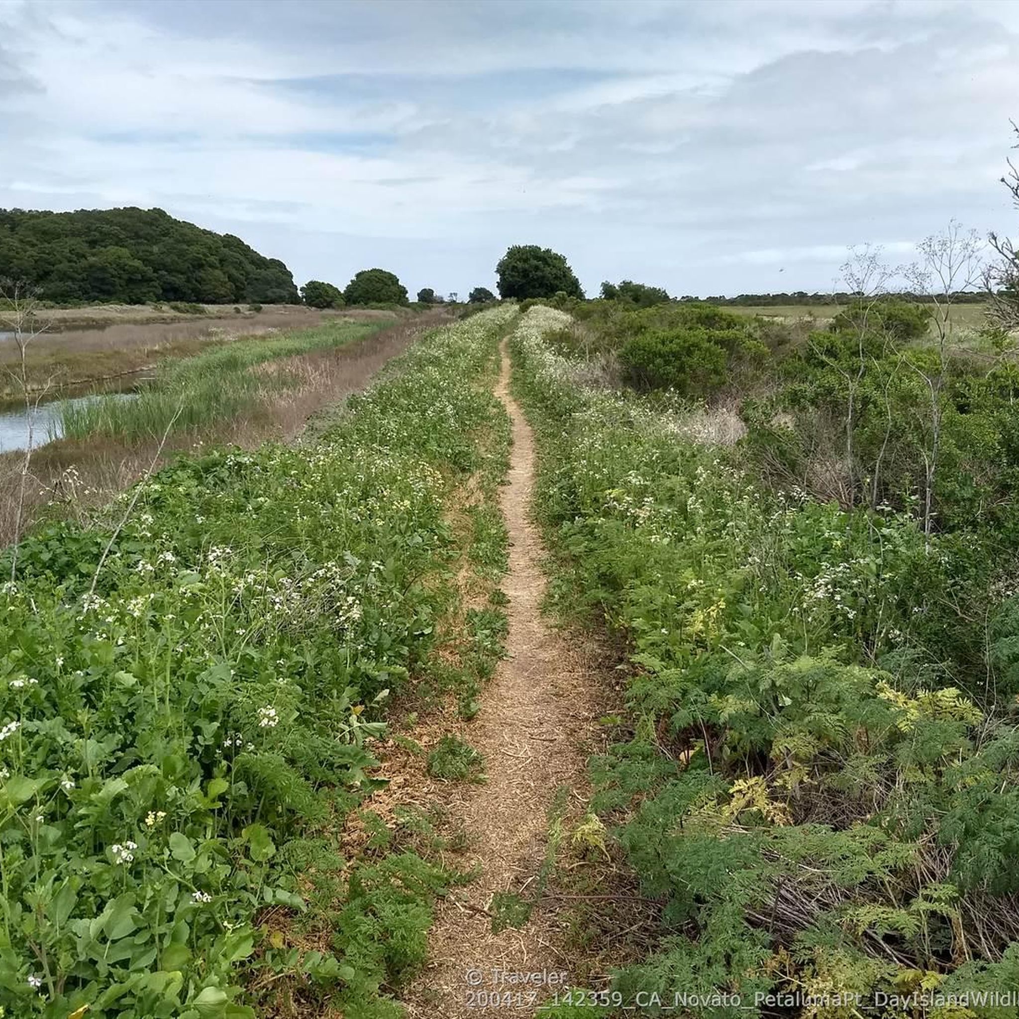
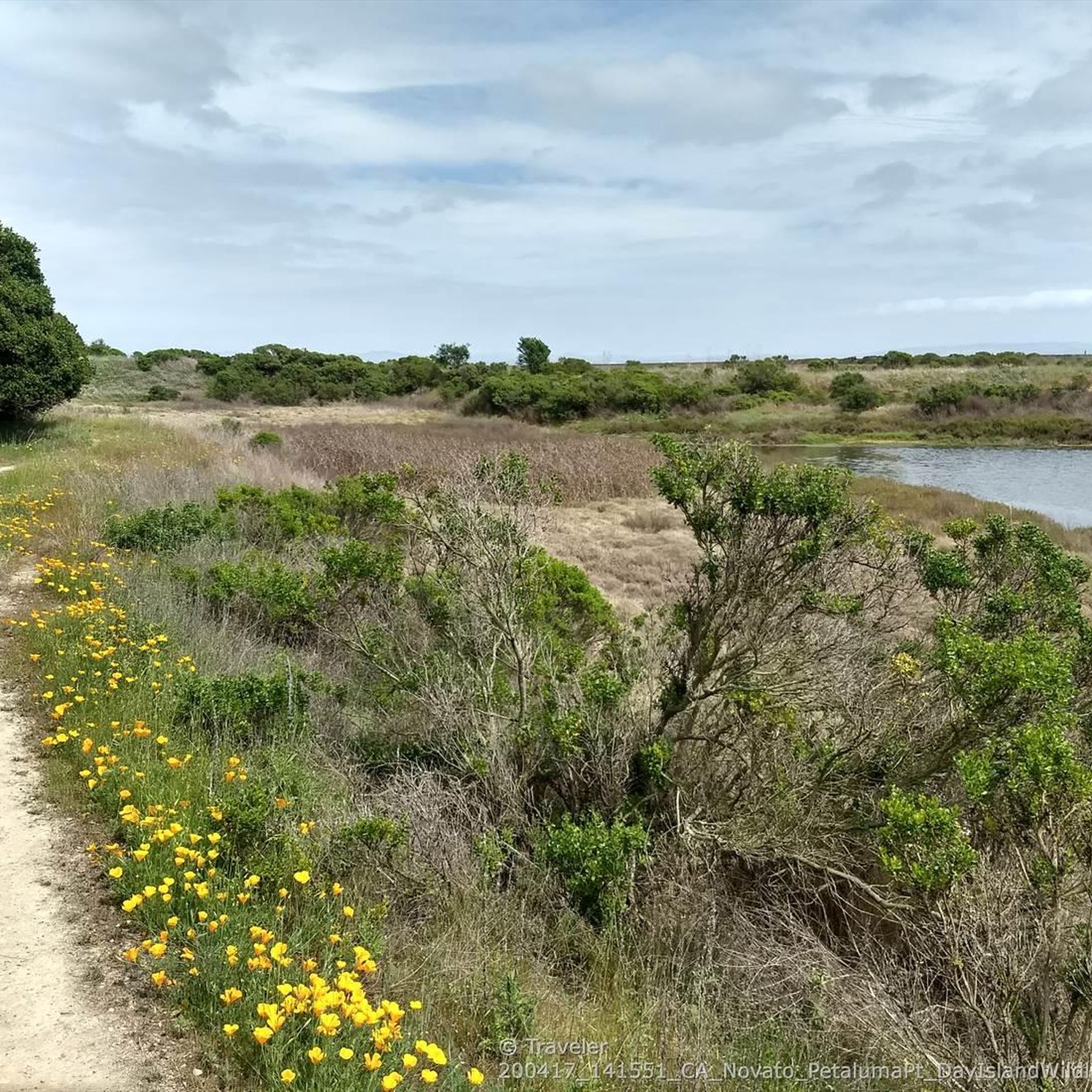
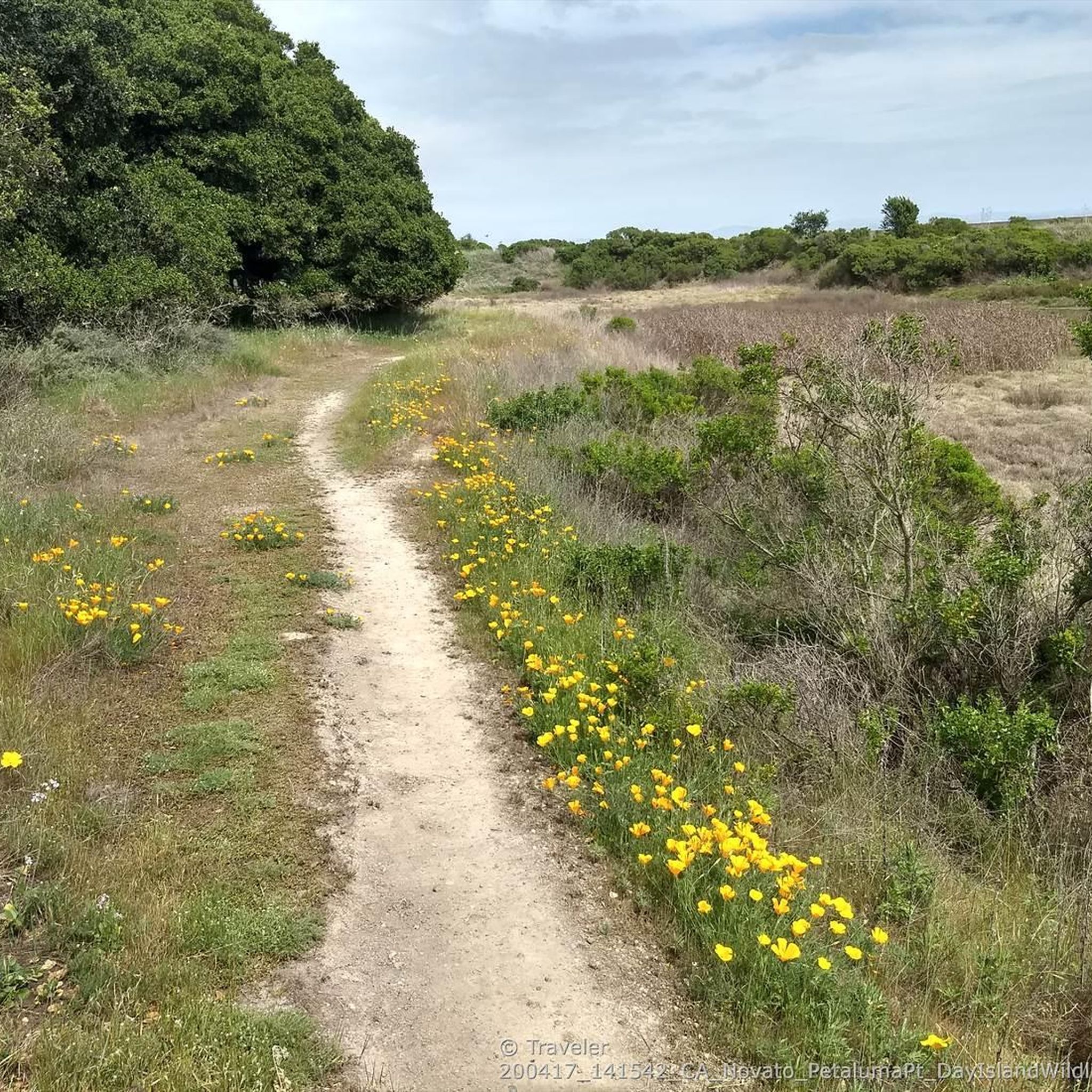
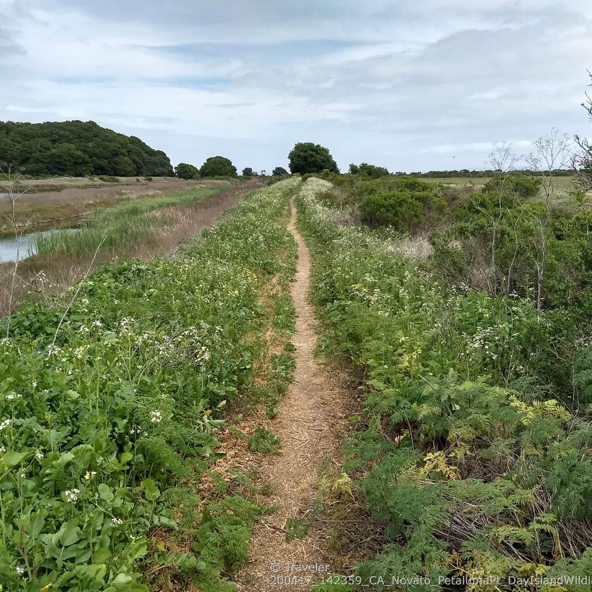
This trail runs along the edge of the Petaluma River wetlands and is a popular multi-use trail, so keep an eye out for others on the trail. The wetlands are an important area for wildlife, and are currently undergoing habitat restoration to improve conditions for native plants & animals.
0
0

The position of this vintage 1960s station wagon at the remote and roadless northern side of the Bahia is a fascinating mystery that can motivate creative story telling. The most plausible explanation might be that it was driven to the top of Bahia ridge when the preserve was still a mostly grass-covered ranchland, and somehow rolled down the hill and crashed. The trees that grew around it after grazing ended seem to be lifting the wreck up as they grow and grab the metal in various places with their bark.
1
0
Depending on your approach, Burdell Mountain can be very exposed. Be sure to check the weather and prepare for it to change quickly. Once you reach the summit the views are definitely worth your efforts.
0
0
Paved trail entering the preserve parallel to Atherton Ave
0
0
The position of this vintage 1960s station wagon at the remote and roadless northern side of the Bahia is a fascinating mystery that can motivate creative story telling. The most plausible explanation might be that it 3as driven to the top of Bahia ridge when the preserve was still a mostly grass-covered ranchland, and somehow rolled down the hill and crashed. The trees that grew around it after grazing ended seem to be lifting the wreck up as they grow and grab the metal in various places with their bark.
0
0
Frequently Asked Questions
Are dogs allowed on the trails around Black Point-Green Point?
Yes, many of the open space preserves in the area, such as Rush Creek and Mount Burdell, generally permit dogs on leash. However, regulations can vary between parks, so it's always best to check the specific rules for the preserve you plan to visit before you go.
Are there any easy, family-friendly hikes in the area?
Absolutely. For a relaxed outing suitable for all ages, the Deer Island Loop is an excellent choice. It's a short, mostly flat trail of about 3 km that offers a pleasant walk through the preserve.
Can I find any hikes with waterfalls near Black Point-Green Point?
Yes, you can. The Ken Harth Waterfall Trail loop in the nearby Indian Valley Preserve is a popular moderate hike that features a waterfall. The flow is most impressive after seasonal rains.
What are the parking options for the trailheads?
Most of the open space preserves, like Rush Creek Preserve and Deer Island Open Space, have designated parking areas near the trailheads. These can fill up, especially on weekends, so arriving earlier in the day is a good idea. Street parking may be available in some areas, but be sure to check for any local restrictions.
Are most of the hiking trails circular loops?
Many of the popular hikes in the region are loop trails, allowing you to enjoy a varied landscape without retracing your steps. For example, the Burdell Mountain & Bay Area Ridge Trail loop is a well-regarded circular route that offers great views.
What kind of difficulty should I expect from the hikes?
The area offers a good mix for different fitness levels. There are over 30 trails, with a majority being easy or moderate. You'll find gentle walks through wetlands as well as more challenging ascents like those on Mount Burdell that reward you with panoramic views.
What do other hikers think of the trails around Black Point-Green Point?
The trails are highly rated by the komoot community, with an average score of 4.6 stars. Hikers often praise the combination of oak woodlands and coastal marsh scenery, as well as the excellent opportunities for birdwatching, especially in Rush Creek Preserve.
Where can I find hikes with historical interest?
For a hike that combines nature with history, head to the nearby Olompali State Historic Park. The Miwok Trail to Burdell Mountain loop takes you through an area rich in both Native American and early Californian history.
What is the best time of year to hike in this region?
Spring and fall are ideal times to hike around Black Point-Green Point. Spring brings green hills and wildflowers, while fall offers pleasant, mild weather. Summers can be warm and dry, so it's best to start early. Winter is also a great time to hike, especially after rains when the landscape is lush and waterfalls are flowing.
What kind of wildlife might I see on the trails?
The diverse habitats of woodlands, marshes, and grasslands support a rich variety of wildlife. The area is a haven for birdwatchers, with chances to spot various waterfowl and raptors. It's also not uncommon to see deer, and if you're quiet, you might spot other small mammals.
Where can I find good views of the surrounding area?
For expansive views, trails that involve some elevation gain are your best bet. Hikes on Mount Burdell offer panoramic vistas of the surrounding region, including the Petaluma River marshes and San Pablo Bay. On a clear day, you can see for miles.
Can I get to the trailheads using public transport?
Accessing the trailheads directly via public transport can be challenging. Most preserves are best reached by car. If you are relying on public transit, you may need to combine it with a taxi or rideshare service for the final leg of your journey to the trailhead.
Most popular routes around Black Point-Green Point
Most popular attractions around Black Point-Green Point

Get inspired with the komoot mobile app


Explore more
Browse the best Hikes in other regions.
