The best walks and hikes around Big Bear City
4.8
(89)
990
hikers
26
hikes
Hiking around Big Bear City offers access to a diverse landscape within the San Bernardino National Forest. The region features mountainous terrain with significant elevation changes, providing varied challenges for hikers. Trails often lead through pine forests and offer scenic viewpoints of the surrounding area. The natural features include prominent peaks and a network of established routes.
Best hiking trails around Big Bear City
- The most popular hiking route is Sugarloaf Mountain via National Recreation Trail — San Bernardino National…
Last updated: October 10, 2026
5.05km
01:30
150m
160m
The Big Bear 2N05 Loop offers a unique hiking experience, taking you along a Forest Service Road that winds through the scenic San Bernardino National Forest. You'll pass through fragrant…
3.59km
01:13
80m
60m
Embark on a moderate hike to the Eye of God, a distinctive white quartz outcropping, covering 2.2 miles (3.6 km) with an elevation gain of 262 feet (80 metres). This…

11.4km
03:52
480m
70m
Embark on the Gold Mountain and Pacific Crest Trail Loop, a moderate hike spanning 7.1 miles (11.4 km) with an elevation gain of 1564 feet (477 metres). This route offers…
Embark on a moderate hiking adventure through the San Bernardino National Forest, where you will experience a diverse landscape. This loop covers 7.3 miles (11.7 km) and involves a total…
8.10km
03:17
750m
50m
Prepare for a challenging hike on the Sugarloaf National Recreational Trail, a difficult 5.0-mile (8.1 km) route that climbs 2465 feet (751 metres) over approximately 3 hours and 16 minutes.…
Get access to more routes and recommendations from other explorers.
Already have an account?
Our route recommendations are based on thousands of hikes, rides, and runs completed by other people on komoot.
Start today with a free account
Your next adventure awaits.
Tips from the Community

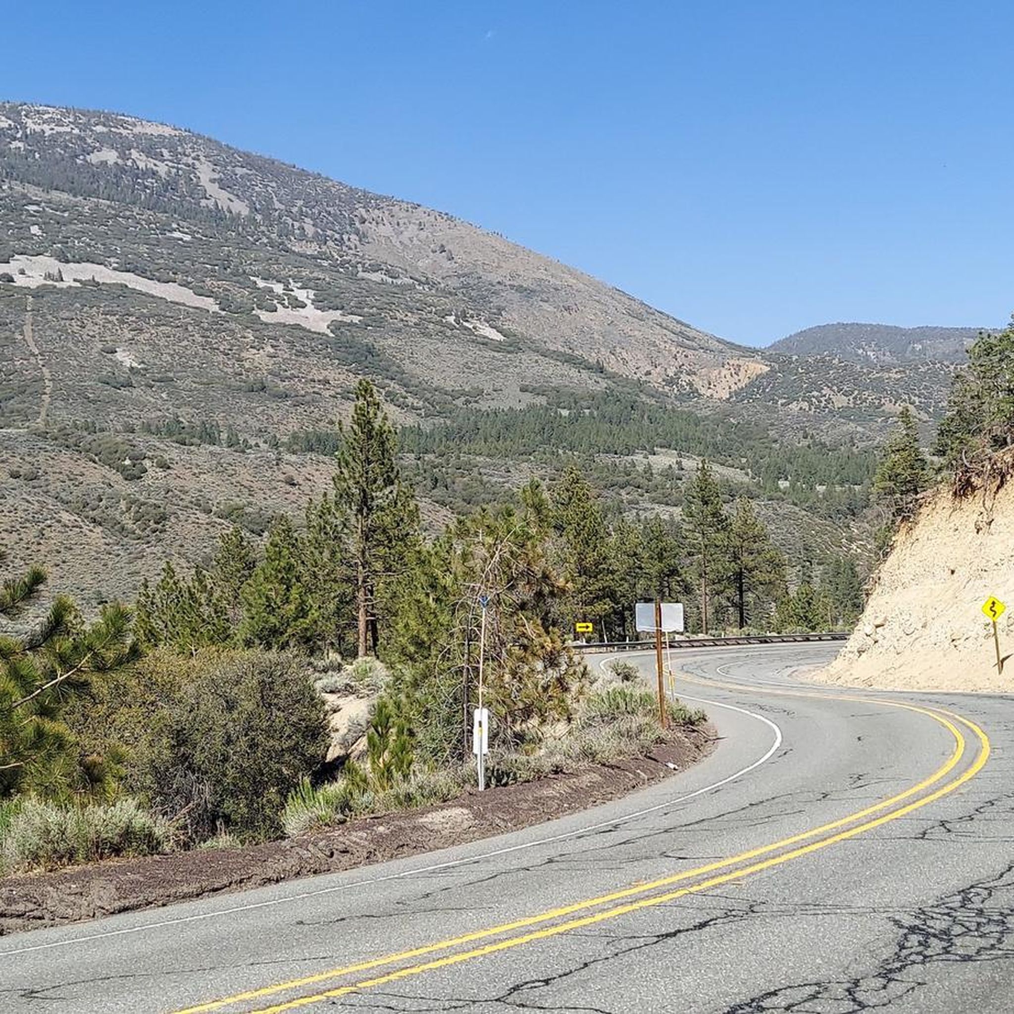
You need a decent off-road vehicle to make it up the road to the trailhead. Once you are here you can hike up Sugarloaf, through Green Canyon, south a quarter mile to Wildhorse Spring or up the spur road to a Yellow Post campsite.
0
0
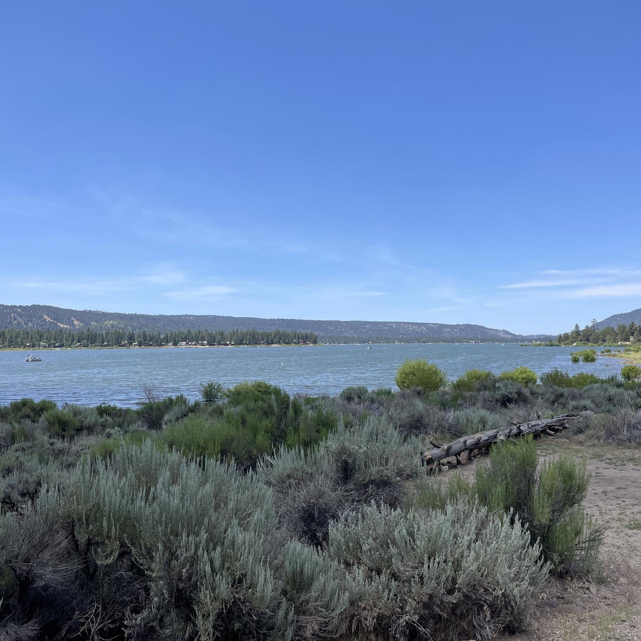
From the summit of Gold Mountain you get panoramic views of Big Bear Lake, the San Bernardinos, Baldwin lake and the Granite Peaks. The PCT runs around the north side of the mountain and makes for a fantastic scenic hike.
0
0
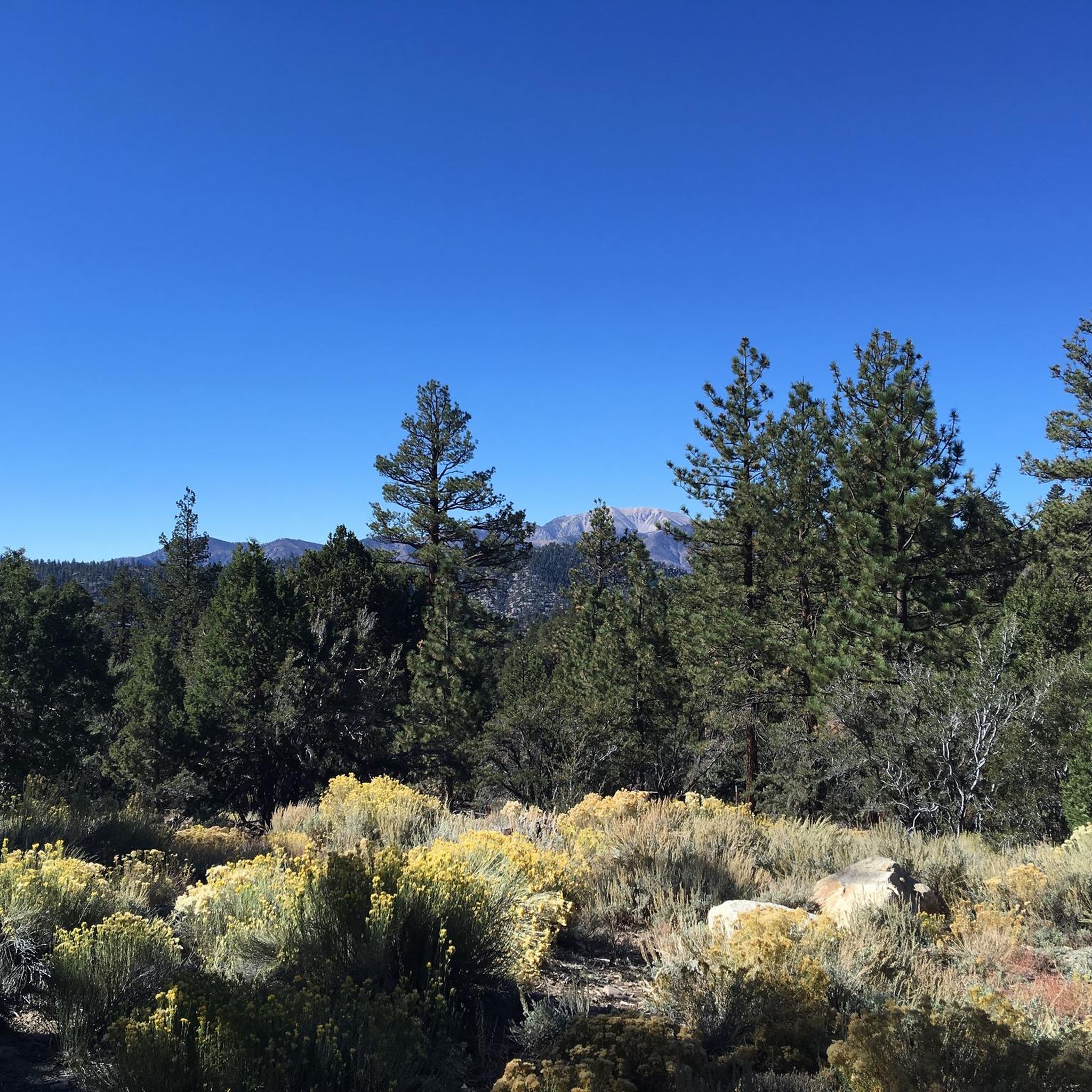
This is the PCT trailhead for the Eye of God hike and Crystal Mountain. There is a large parking area on both sides of CA-18. The north trail takes you past Nelson Ridge toward Gold Mountain.
0
0
Eye of God is a large outcropping of dolomite that grants views across Baldwin Lake and the nearby mountains. The quartz dome is sacred to the Yuhaaviatam people who have lived in the Big Bear area for thousands of years.
0
0
Crystal Mountain is popular for crystal hunting. Bring a bag and some tools and you can have a fun adventure discovering clear crystals along the trail!
0
0
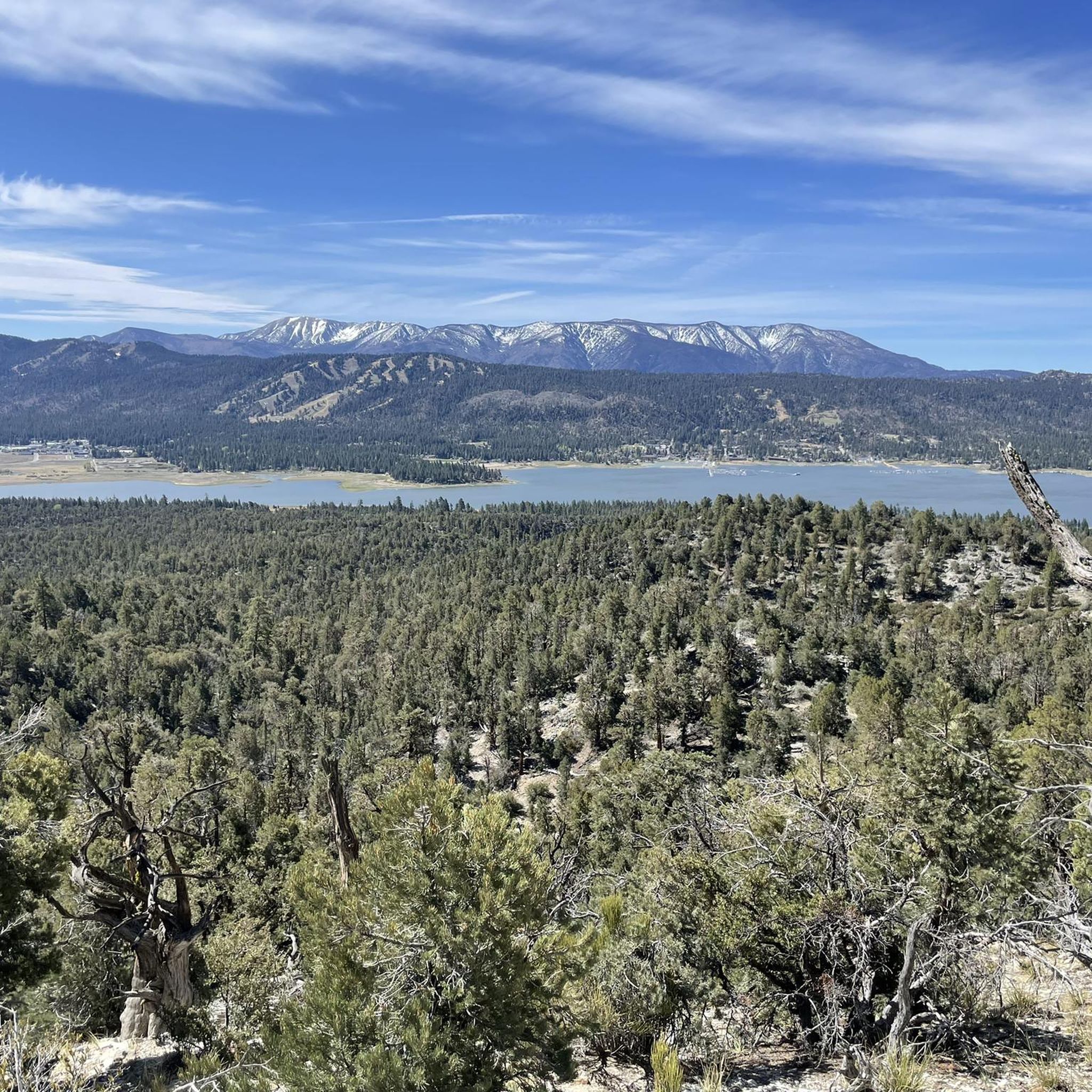
The summit is marked by a signpost atop a rock pile and sits within a group of pines. You can catch glimpses of Big Bear Lake, Baldwin Lake, and the San Bernardinos through the trees. This makes for a great picnic spot.
0
0
Frequently Asked Questions
How many hiking trails are available around Big Bear City?
There are over 15 hiking routes around Big Bear City, offering a diverse range of experiences within the San Bernardino National Forest. These trails vary in difficulty, from easy loops to challenging mountain ascents.
What types of terrain can I expect on hikes in Big Bear City?
Hiking around Big Bear City features mountainous terrain with significant elevation changes. Trails often lead through pine forests and offer scenic viewpoints. You'll encounter a mix of established routes and natural features, including prominent peaks.
Are there easy hiking trails suitable for beginners in Big Bear City?
Yes, Big Bear City offers several easy trails perfect for beginners. For example, the Elementary Trail to School Trail loop — San Bernardino National Forest is an easy 7.0 km path through forested areas, typically completed in under two hours. Another accessible option is the Sawmill Pebble Plains via Klamath Trail — San Bernardino National Forest, a 4.5 km route.
What are some notable natural features or landmarks to see while hiking?
The region boasts several natural attractions. You can find beautiful lakes like Jenks Lake and enjoy Awesome views of Big Bear Lake. For those interested in peaks, highlights include Bertha Peak, Castle Rock, and Snow Summit.
Are there any circular hiking routes in Big Bear City?
Yes, you can find circular routes. The Elementary Trail to School Trail loop — San Bernardino National Forest is a popular 7.0 km loop that takes you through forested areas.
What do other hikers say about the trails in Big Bear City?
The trails in Big Bear City are highly rated by the komoot community, with an average score of 4.8 stars from over 19 reviews. Hikers often praise the varied terrain and the beautiful pine forests within the San Bernardino National Forest.
Are there any trails that offer views of Big Bear Lake?
Yes, some trails provide access to or views of Big Bear Lake. For instance, the Big Bear Lake access via Cougar Crest Trail is a highlight, and you can find Awesome views of Big Bear Lake from various points.
Can I hike sections of the Pacific Crest Trail near Big Bear City?
Yes, parts of the Pacific Crest Trail (PCT) are accessible from Big Bear City. You can explore routes like Eye of God via PCT — San Bernardino National Forest, which offers scenic views along this famous long-distance path.
What is the typical duration for hikes in Big Bear City?
Hike durations vary significantly based on difficulty and length. Easy trails like the Sawmill Pebble Plains via Klamath Trail can take just over an hour, while more challenging routes such as Gold Mountain via PCT — San Bernardino National Forest can take over five hours.
Are there any trails that lead to prominent mountain peaks?
Absolutely. For a challenging ascent to a prominent peak, consider the Sugarloaf Mountain via National Recreation Trail — San Bernardino National Forest. This difficult route involves a substantial climb to the summit.
Most popular attractions around Big Bear City

Get inspired with the komoot mobile app


Explore more
Browse the best Hikes in other regions.
