The best running trails around Baywood Park
4.7
(19)
2,558
runners
146
runs
Jogging around Baywood Park offers diverse landscapes for runners, characterized by its Central Coast location. The region features rugged coastlines, serene estuaries, and varied forest types, including unique pygmy oak forests and Monterey cypress groves. Trails often provide views of the Pacific Ocean, Morro Rock, and the back bay, with a mix of flat paths and gentle ascents.
Best jogging routes around Baywood Park
- The most popular jogging route is Sawyer Camp Recreation Trail – Jepson Laurel loop from Highlands-Baywood…
Last updated: August 19, 2026
5.0
(1)
157
runners
Moderate run. Good fitness required. Mostly paved surfaces. Suitable for all skill levels.
5.0
(1)
128
runners
6.21km
00:39
40m
40m
Moderate run. Good fitness required. Mostly paved surfaces. Suitable for all skill levels.

Sign up for free
23
runners
Hard run. Very good fitness required. Mostly paved surfaces. Suitable for all skill levels.
5.0
(1)
24
runners
8.05km
00:58
210m
210m
Moderate run. Good fitness required. Mostly paved surfaces. Suitable for all skill levels.
19
runners
7.75km
00:53
80m
80m
Moderate run. Good fitness required. Mostly paved surfaces. Suitable for all skill levels.
Get access to more routes and recommendations from other explorers.
Sign up for free
Already have an account?
Our route recommendations are based on thousands of hikes, rides, and runs completed by other people on komoot.
Start today with a free account
Your next adventure awaits.
Login or Signup
Tips from the Community

A fun, pretty place to stop while riding Cañada road. I has water and an air pump and bathrooms. Take a photo with friends.
0
0

A nice pocket of multi-use, natural-surface trails. Dogs are allowed, but must be kept on leash.
0
0

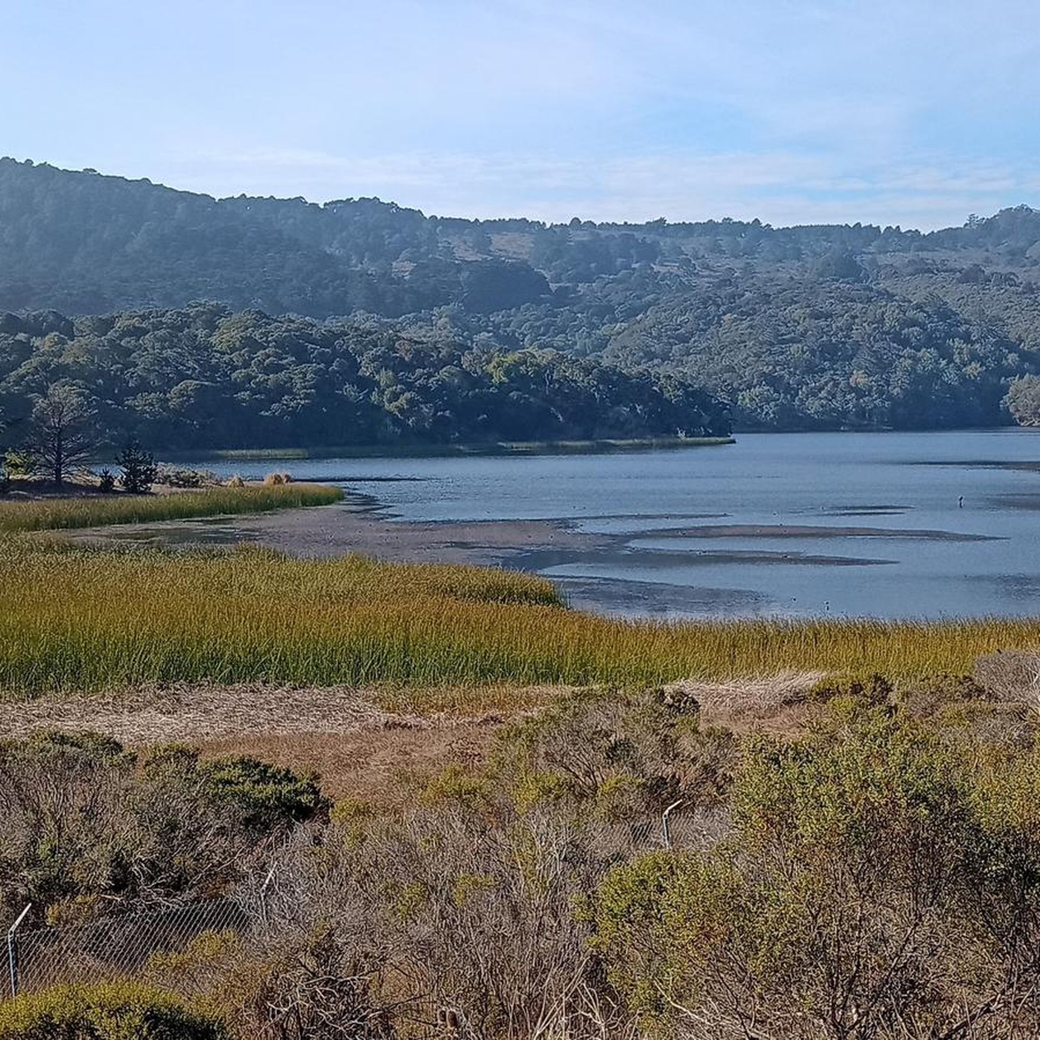
Lower Crystal Springs Reservoir is part of the Crystal Springs Reservoir system, and provides water to the San Francisco Bay Area. The area surrounding the reservoir is rich in biodiversity, home to rare and endangered species like the San Mateo thornmint and the Marin Dwarf Flax. While recreational activities on the water are restricted to protect the watershed, the adjacent Crystal Springs Regional Trail offers scenic views for hikers and cyclists.
0
0

At the top of the John Brooks Trail, you're treated to peaceful views of the surrounding San Francisco Peninsula Watershed.
0
0
You're not hallucinating: This monument was deliberately built in the style of ancient Greek and Roman architecture, to commemorate the Great Depression-era Hetchy Hetchy Project that brought water down from the mountains to the Bay Area. The frieze says, “I give waters in the wilderness and rivers in the desert, to give drink to my people.”
1
0

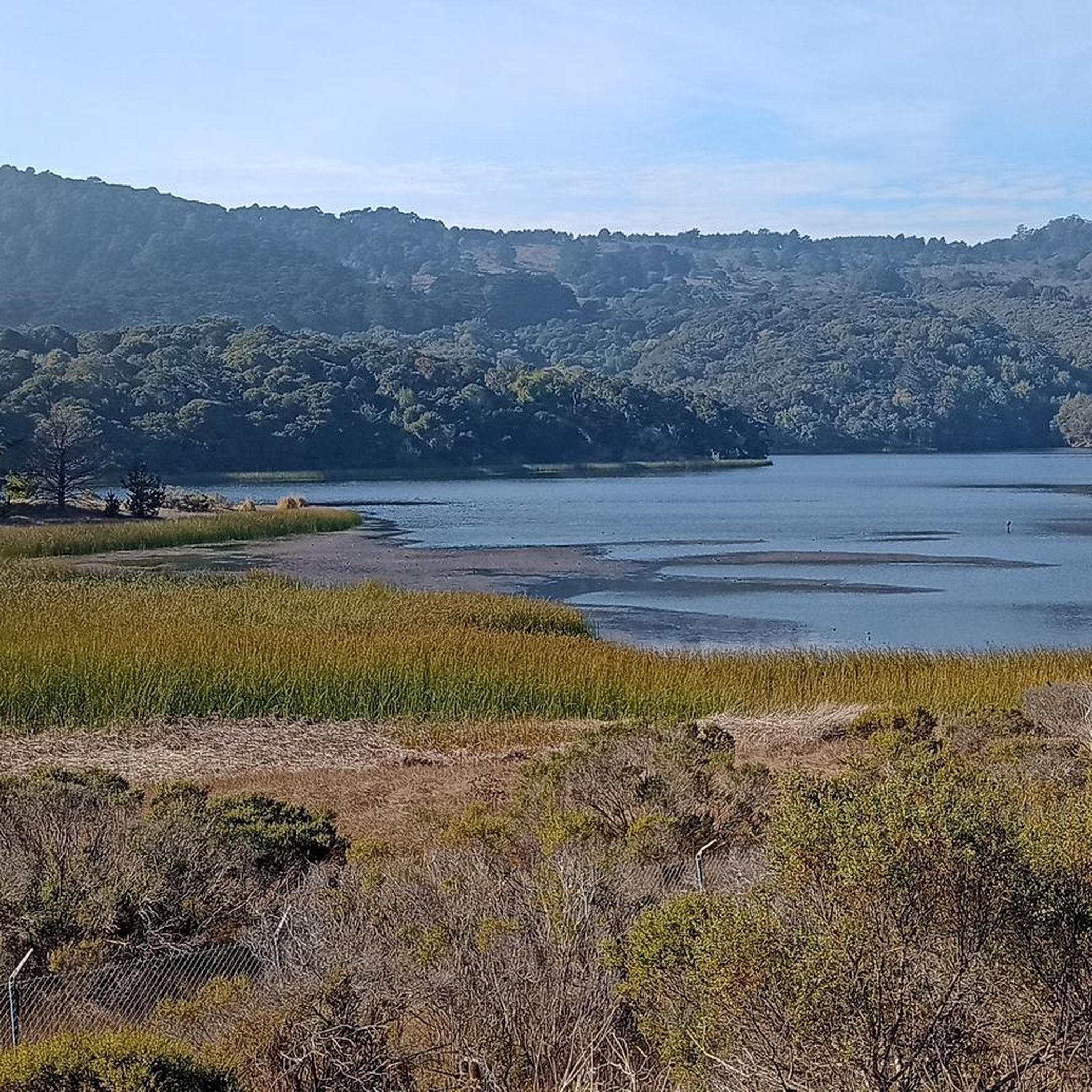
There are a handful of trails here which treat you to views of the foothills across the reservoir. Upper Crystal Springs Reservoir provides water to the San Francisco Peninsula, and you can bike along its entire eastern shoreline.
0
0

Water Dog Lake, also known as the John Brooks Memorial Open Space, is located in Belmont, California. The park features a network of trails open for hiking and mountain biking, but dogs must be kept on leash at all times.
0
0

scenic bike ride along the san andreas reservoir
0
0
Frequently Asked Questions
How many running routes are available in the Baywood Park area?
There are over 90 running routes around Baywood Park, offering a wide range of options for all skill levels. You'll find everything from easy, flat paths to more challenging trails with varied terrain.
What kind of terrain can I expect on the jogging trails around Baywood Park?
The jogging trails in Baywood Park feature diverse terrain, from rugged coastlines and serene estuaries to unique pygmy oak woodlands and Monterey cypress groves. Many routes offer a mix of paved and unpaved surfaces, with options for both flat paths and gentle ascents, providing varied experiences for runners.
Are there any family-friendly running paths in Baywood Park?
Yes, Baywood Park offers several family-friendly options. The Sawyer Camp Recreation Trail loop from Highlands-Baywood Park is a moderate 4.1-mile path with scenic views, suitable for a steady pace. Additionally, the El Morro Elfin Forest features a one-mile, wheelchair-accessible boardwalk, perfect for a gentle jog or walk with children.
Can I bring my dog on the running trails in Baywood Park?
Many areas around Baywood Park are dog-friendly, but rules vary by location. For example, the Sweet Springs Nature Preserve allows dogs on trails, while the El Morro Elfin Forest boardwalk is generally for foot traffic. Always check local signage or park regulations for specific dog policies before heading out.
What are some scenic viewpoints or natural features to look out for while running?
Baywood Park is rich in natural beauty. You can enjoy panoramic views of Morro Rock and the back bay from the El Morro Elfin Forest boardwalk. The Sweet Springs Nature Preserve offers views of the estuary and opportunities to spot various bird species. Many coastal paths provide stunning ocean vistas and breathtaking sunsets. You might also encounter highlights like Lower Crystal Springs Reservoir or San Andreas Lake along some routes.
Are there any challenging running routes for experienced runners?
Yes, for those seeking a greater challenge, Baywood Park has options. The Oracle Lagoon – Oracle Lagoon loop from Belmont is a difficult 19.6-mile route, while the Mariners Point – Bay Trail on Foster City Levee loop from San Mateo is another difficult option at 13.3 miles, both offering longer distances and varied elevation.
What is the best time of year to go running in Baywood Park?
Baywood Park benefits from a mild climate, making it suitable for year-round outdoor pursuits. Spring is particularly beautiful with golden wildflowers blooming in Montaña de Oro State Park. Winter months (October-March) are ideal for spotting monarch butterflies at Sweet Springs Nature Preserve. The area's breathtaking sunsets can be enjoyed throughout the year.
Are there many circular running routes in the area?
Yes, many of the running routes in Baywood Park are designed as loops, allowing you to start and finish at the same point. Popular examples include the Sawyer Camp Recreation Trail – Jepson Laurel loop from Highlands-Baywood Park and the Coyote Point Recreation Area – Seal Slough (Marina Lagoon) loop from Burlingame.
What do other runners enjoy most about jogging in Baywood Park?
The running routes in Baywood Park are highly rated by the komoot community, with an average score of 4.6 stars. Runners often praise the diverse landscapes, stunning ocean and estuary views, and the variety of trails that cater to different fitness levels, from easy boardwalks to more rugged coastal paths.
Where can I find parking for the running trails?
Parking is generally available at popular trailheads and natural areas. For instance, Montaña de Oro State Park, El Morro Elfin Forest, and Sweet Springs Nature Preserve all have designated parking areas. The Baywood Pier also offers convenient access for exploring the back bay. It's always a good idea to check specific trail information for parking details.
Are there any shaded running trails for warmer days?
Yes, you can find shaded sections, particularly in areas like Sweet Springs Nature Preserve, which features trails through Monterey cypress and eucalyptus trees. The El Morro Elfin Forest, with its unique pygmy oaks, also offers some natural cover, providing a cooler experience on warmer days.
Are there any trails accessible by public transport?
While many trails are best accessed by car, some areas around Baywood Park and Los Osos may have limited public transport options. It's recommended to check local bus schedules or ride-sharing services for routes that stop near major parks or trailheads like Morro Bay State Park for potential access.
Most popular routes around Baywood Park
Most popular attractions around Baywood Park

Get inspired with the komoot mobile app


Explore more
Browse the best Running Trails & Routes in other regions.
