The best walks and hikes around Bayview
4.2
(14)
227
hikers
45
hikes
Hiking around Bayview, San Francisco, primarily features urban trails and shoreline paths with views across the bay. The area is characterized by a network of routes within regional parks, offering mostly flat terrain. These trails often follow the coastline, providing access to piers, marshes, and open green spaces. The landscape includes diverse ecosystems like wetlands and forests, with opportunities for wildlife observation.
Best hiking trails around Bayview
- The most popular hiking route is Point Pinole Loop Trail, a 4.8 miles (7.8 km) trail that takes about 2 hours to complete. This easy loop follows the shoreline within Point Pinole Shoreline Regional Park.
- Another top favourite among local hikers is San Francisco Bay Trail from Lone Tree Point to Wilson Point, a moderate 7.7 miles (12.3 km) path. The route is a section of the San Francisco Bay Trail with minimal elevation change.
- Local hikers also love the Bay Trail to Point Pinole Regional Park via Dotson Family Marsh, a 2.5 miles (4.0 km) trail leading through marshland, often completed in about 1 hour.
- Hiking around Bayview is defined by shoreline paths, trails through urban parks, and routes across marshlands. The trail network provides options for different ability levels, with the majority being easy, flat walks.
- The routes in Bayview are highly rated by the komoot community with an average score of 4.0 stars from over 20 reviews. More than 200 hikers have used komoot to explore Bayview's varied terrain.
Last updated: August 18, 2026
5
hikers
5.66km
01:29
40m
50m
The Bay View Trail offers an easy hiking experience through the Point Pinole Regional Shoreline, where you can enjoy open spaces and refreshing bay breezes. This route covers 3.5 miles (5.7 km) with a gentle elevation gain of 121 feet (37 metres), making it accessible for most. You can expect to complete the hike in about 1 hour and 28 minutes, taking in views of San Pablo Bay from various points, including the specific "Bay View Trail 🌊 Lookout" mentioned on the map.
When planning your visit, note that parking is typically available at the trailhead within Point Pinole Regional Shoreline. The trail is generally accessible throughout the year, offering a pleasant outing in different seasons. Before heading out, always check for any local park advisories regarding temporary closures or specific regulations that might affect your trip. This ensures you have the most up-to-date information for a smooth experience.
This trail is a great option if you are looking for a quick outdoor adventure with scenic water vistas. The route provides a refreshing escape within the regional shoreline, allowing you to connect with nature without a strenuous effort. It stands out for its accessible bay views and the opportunity to experience the unique coastal environment of San Pablo Bay.
2
hikers
4.96km
01:17
40m
20m
Hike the easy 3.1-mile Pinole Shores trail for bay views, diverse landscapes, and birdwatching opportunities in San Pablo Bay Regional Shore

Sign up for free
1.61km
00:25
0m
10m
Hike the easy 1.0-mile San Francisco Bay Trail: Pinole Shores for panoramic views of San Pablo Bay and the Marin shoreline.
5.0
(1)
20
hikers
7.77km
02:00
40m
40m
Embark on an easy hike along the Point Pinole Loop Trail, a 4.8-mile (7.8 km) route that offers a refreshing escape. You will experience diverse scenery, from open grasslands to fragrant eucalyptus groves, all while enjoying views of San Pablo Bay. The trail is predominantly flat, with a gentle elevation gain of just 116 feet (35 metres), making it accessible for nearly everyone. Expect to complete this scenic loop in about 1 hour and 59 minutes, with plenty of opportunities to take in the coastal atmosphere. As you walk, you'll catch glimpses of Mount Tamalpais and the Marin shoreline, especially from the Bay View Trail section.
This easy route is perfect for families and beginner hikers looking for a straightforward outdoor experience. The trails are well-maintained and generally flat, ensuring a comfortable journey for all ages. If you plan to visit the popular fishing pier, a convenient shuttle service operates from the parking lot directly to the pier, saving you some walking. Remember that while fishing from the pier, you do not need a state fishing license.
Point Pinole Regional Shoreline is a haven for wildlife, so keep your eyes peeled for local inhabitants. You might spot deer grazing in the open areas or monarch butterflies fluttering among the plants. The park is also home to a variety of bird species, making it a great spot for birdwatching enthusiasts. The prominent 1,250-foot fishing pier not only offers panoramic views but also serves as a key landmark along your journey.
3
hikers
3.05km
00:47
10m
10m
Embark on an easy hike along the San Francisco Bay Trail, a pleasant route that stretches for 1.9 miles (3.1 km). You will experience minimal elevation gain, just 27 feet (8 metres), making it accessible for most. As you walk, you can enjoy diverse scenery, including the unique Owl Alley Trail where you might spot various bird species in the surrounding marshes. The trail offers expansive views of the San Francisco Bay, often providing distant glimpses of the iconic Golden Gate Bridge and the city skyline, all achievable in about 46 minutes.
Planning your visit to the San Francisco Bay Trail is straightforward. This segment is designed for accessibility, welcoming not only hikers but also cyclists and even wheelchair users. You will find parking generally available at various trailheads along the route, making it easy to access different sections. Always remember to check local signage for specific parking regulations and access points for the particular part of the trail you plan to explore.
What makes this trail notable is its integration into the larger San Francisco Bay Trail system, offering a taste of the region's natural beauty and urban vistas. This specific section provides a unique opportunity to observe local wildlife, particularly birds, within the marshland environment of Owl Alley. It's a perfect short outing if you are looking for a gentle escape with rewarding views and a chance to connect with nature close to the city.
Get access to more routes and recommendations from other explorers.
Sign up for free
Already have an account?
Our route recommendations are based on thousands of hikes, rides, and runs completed by other people on komoot.
Start today with a free account
Your next adventure awaits.
Login or Signup
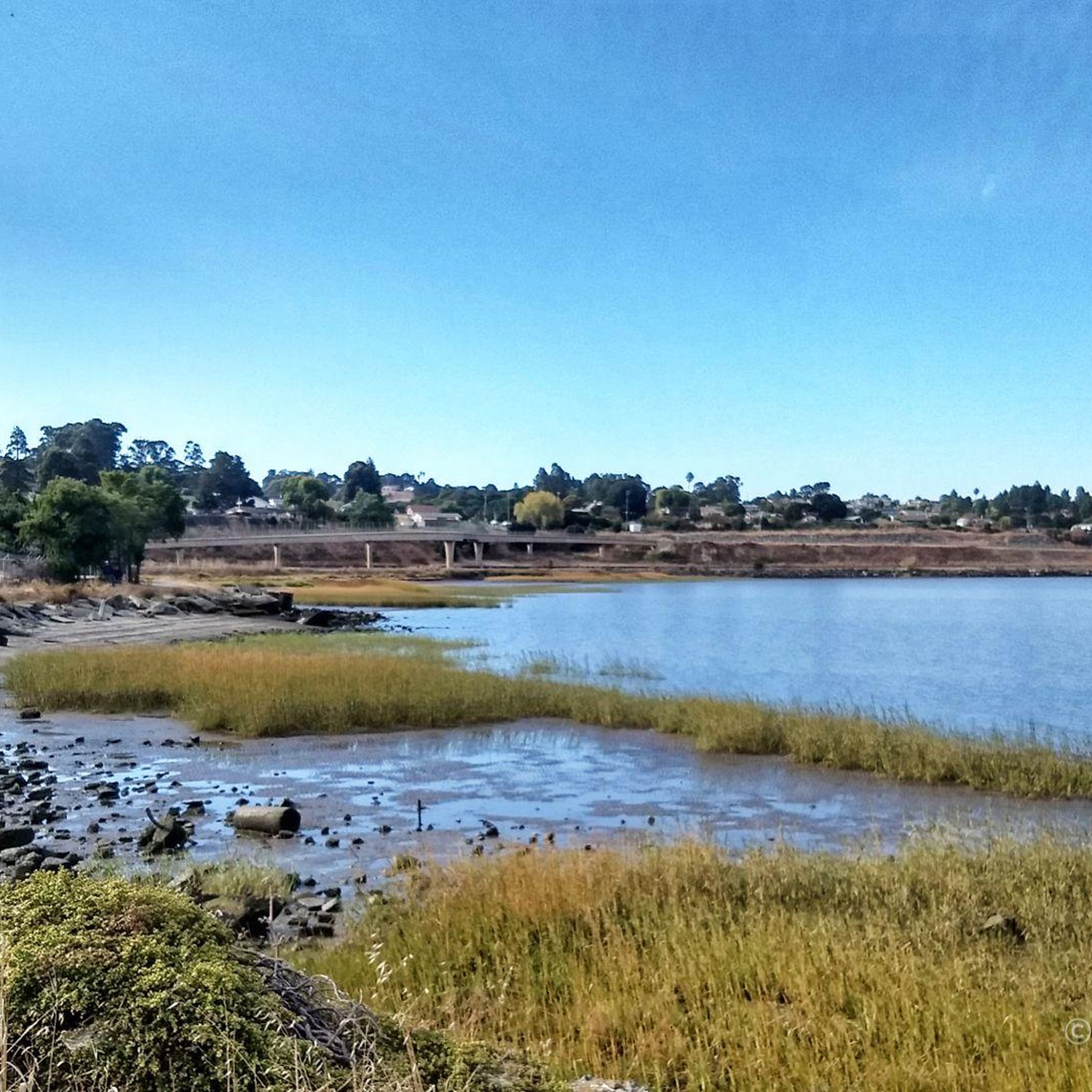
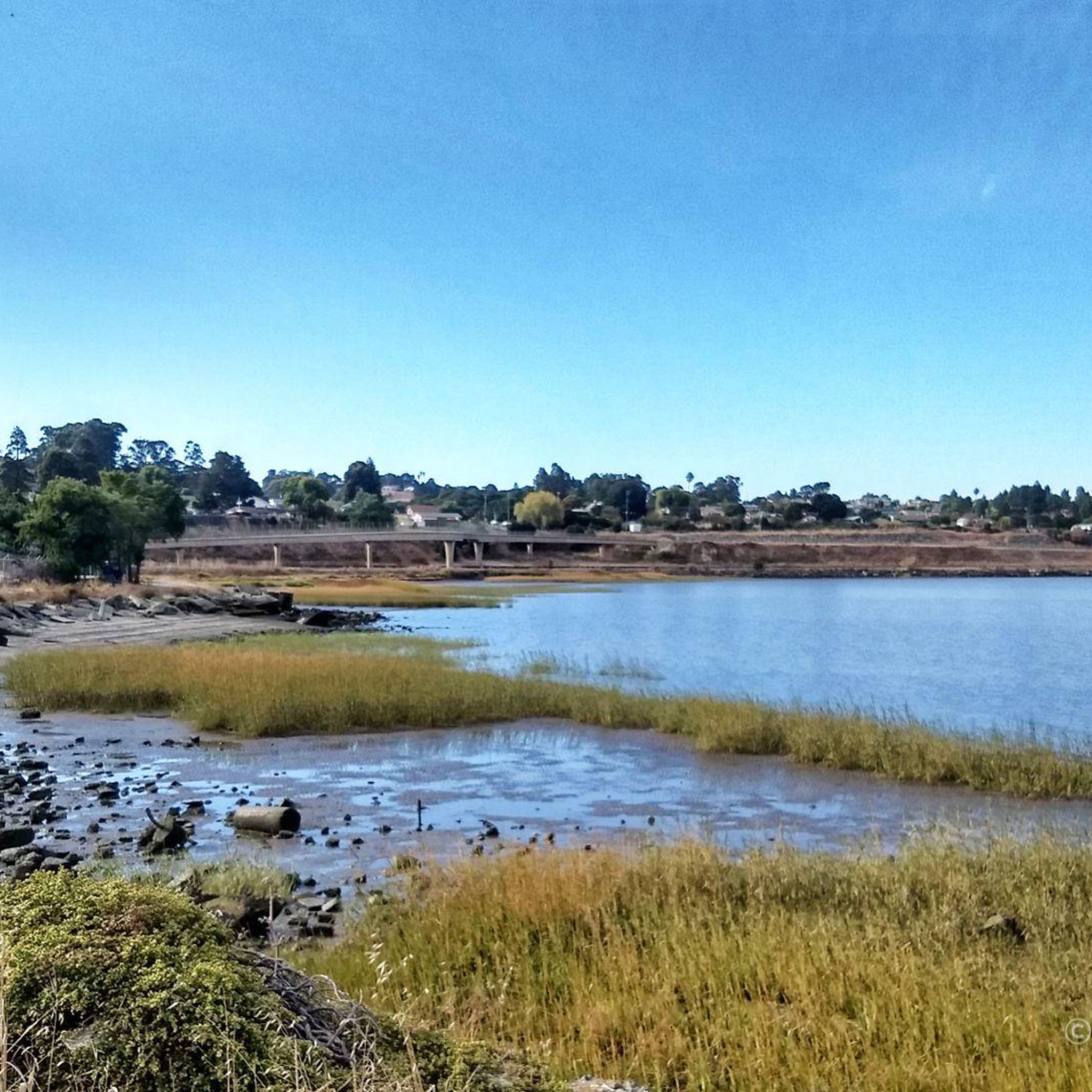

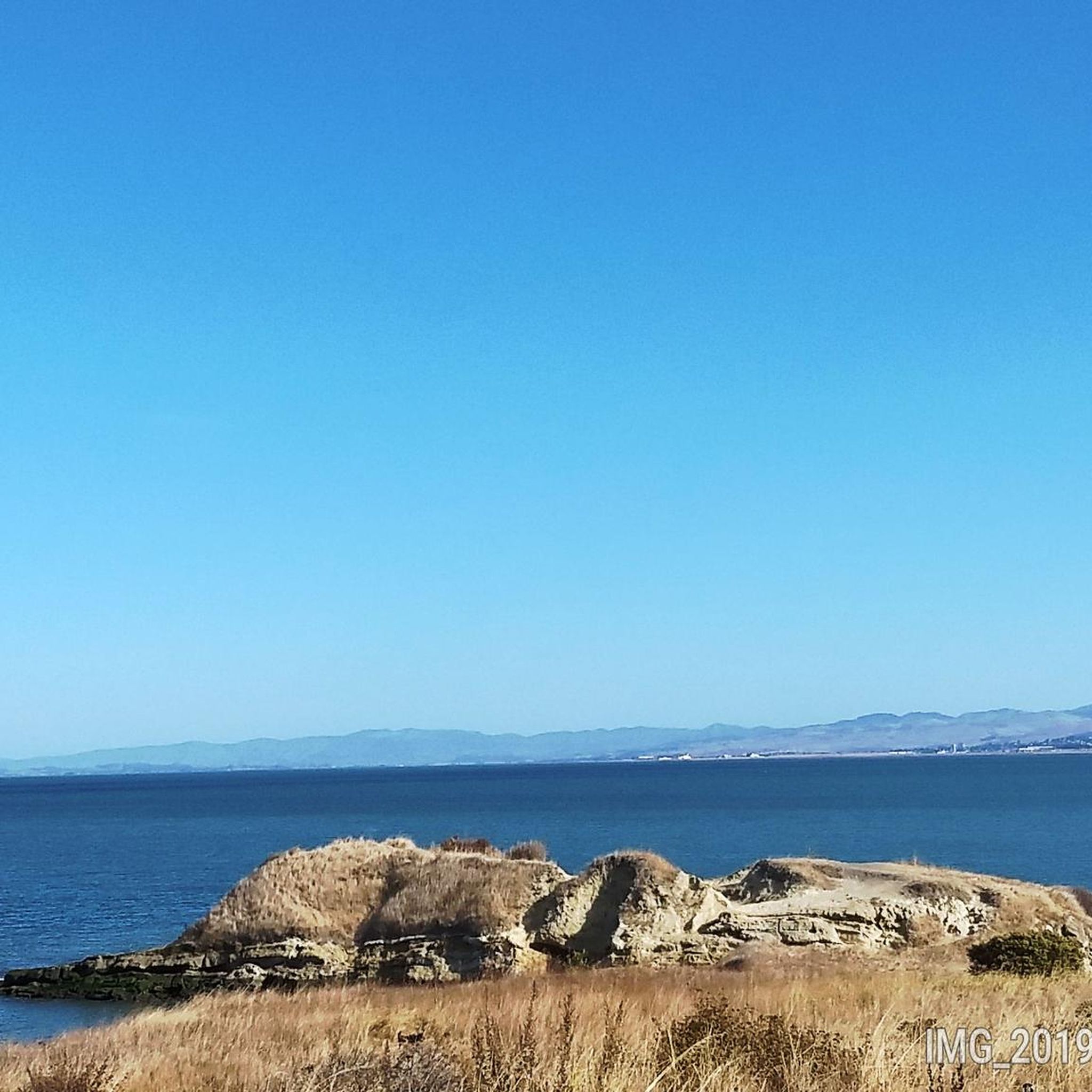
Tips from the Community

Concrete fishing pier with excellent views across the bay. It juts out into the Carquinez Strait, with a fish cleaning station at the halfway point.
0
0
Shoreline park along San Francisco Bay Trail. Unfortunately the trail deadends a mile further west.
0
0
Wooden bike and pedestrian bridge along the smooth biking section of the Bay Trail crosses Pinole Creek. The Creek has been restored to fairly natural conditions and is flanked by bike trails on both sides of the creek.
0
0

The Owl Alley Trail is a multi-use gravel trail in the Point Pinole Regional Park. It leads through open meadows with nice views of the bay and can be combined with several other trails in the area to extend your hike.
0
0

This spot is one of many fantastic stopping points to grab your camera and take some incredible photos of the beautiful bay.
0
0

This pier is a highlight of Point Pinole Shoreline Regional Park. Fishing off the pier is good (check local regulations), and there's a blue gum eucalyptus forest nearby.
1
0
Long concrete fishing pier jutting out into the Carquinez Strait, with a fish cleaning station and great views.
0
0

Beautiful spot for rest on a bench with a view.
0
0
Frequently Asked Questions
What is the hiking in Bayview, San Francisco typically like?
Hiking around Bayview is characterized by urban trails and shoreline paths with views across the bay. Most routes are within regional parks and feature relatively flat terrain, making them ideal for easy walks along the coastline, piers, and through marshlands.
Are there many trails to choose from in the Bayview area?
Yes, there are over 30 designated hiking routes in and around Bayview. The network is diverse, with the majority being easy walks, but there are also a handful of moderate trails for those seeking a bit more distance.
What do other hikers think of the trails around Bayview?
The trails in this area are well-regarded by the komoot community. Reviewers often praise the accessible shoreline paths and the unique blend of urban and natural scenery.
Are there any easy, flat walking trails in Bayview?
Absolutely. The majority of trails in Bayview are easy and flat. A great example is the Bay Trail to Point Pinole Regional Park via Dotson Family Marsh, which is a short, 2.5-mile (4 km) walk through scenic marshland with minimal elevation change.
Can I bring my dog on the hiking trails?
Many parks and trails in the Bayview area are dog-friendly, but policies can vary. For example, Point Pinole Regional Park generally allows dogs on-leash. It's always best to check the specific regulations for the park you plan to visit before you go.
Are there any good hikes for families with children?
Yes, the flat terrain and interesting shoreline make many trails suitable for families. The Cook's Point Trail is a short and easy option, perfect for little legs. Additionally, parks like Heron's Head Park offer great opportunities for birdwatching, which can be fun for all ages.
How can I get to the Bayview trails using public transport?
Bayview is accessible via San Francisco's Muni system. Several bus lines and the T Third Street light rail line service the neighborhood. You can use the komoot app's public transport planner to find the best route directly to your chosen trailhead.
Where can I find the best sunset views on a hike?
For beautiful sunset views over the water, choose a trail that follows the shoreline. The Point Pinole Pier loop offers expansive bay views, especially from the pier, making it an excellent spot to watch the sun go down.
Are there any circular or loop trails available?
Yes, there are several loop trails. The Owl Alley Trail is a pleasant, short loop within Point Pinole Regional Park that is perfect for a quick and easy outing without having to retrace your steps.
What are some longer, more moderate hikes in the area?
If you're looking for a longer route, the San Francisco Bay Trail from Lone Tree Point to Wilson Point is a great choice. It's a 7.7-mile (12.3 km) out-and-back trail that offers a more substantial walk while still being relatively flat.
What kind of wildlife might I see while hiking in Bayview?
The shoreline and marshland habitats attract a variety of wildlife, especially birds. Heron's Head Park is a known hotspot for birdwatching, with over 100 species spotted annually. Keep an eye out for shorebirds, waterfowl, and herons.
Most popular routes around Bayview
Most popular attractions around Bayview

Get inspired with the komoot mobile app


Explore more
Browse the best Hikes in other regions.
