The best running trails around Aptos Hills-Larkin Valley
5.0
(1)
602
runners
28
runs
Jogging around Aptos Hills-Larkin Valley offers diverse landscapes, blending coastal beauty with lush redwood forests and rolling hills. The region features extensive trail networks, providing a tranquil environment for runners. Natural features include towering redwoods, picturesque agricultural fields, and proximity to the Pacific Ocean.
Best jogging routes around Aptos Hills-Larkin Valley
- The most popular jogging route is Tillman Grove – Bench by Aptos Creek loop from Seacliff State Beach, a 7.7 miles (12.4 km) trail that takes 1 hour…
Last updated: May 28, 2026
50
runners
12.4km
01:29
120m
120m
Moderate run. Good fitness required. Mostly paved surfaces. Suitable for all skill levels.
43
runners
19.4km
02:26
340m
340m
Hard run. Very good fitness required. Mostly paved surfaces. Suitable for all skill levels.

Sign up for free
32
runners
Moderate run. Good fitness required. Mostly paved surfaces. Suitable for all skill levels.
25
runners
8.89km
01:04
120m
120m
Moderate run. Good fitness required. Mostly paved surfaces. Suitable for all skill levels.
12
runners
16.3km
02:08
370m
370m
Hard run. Very good fitness required. Mostly paved surfaces. Suitable for all skill levels.
Get access to more routes and recommendations from other explorers.
Sign up for free
Already have an account?
Our route recommendations are based on thousands of hikes, rides, and runs completed by other people on komoot.
Start today with a free account
Your next adventure awaits.
Login or Signup
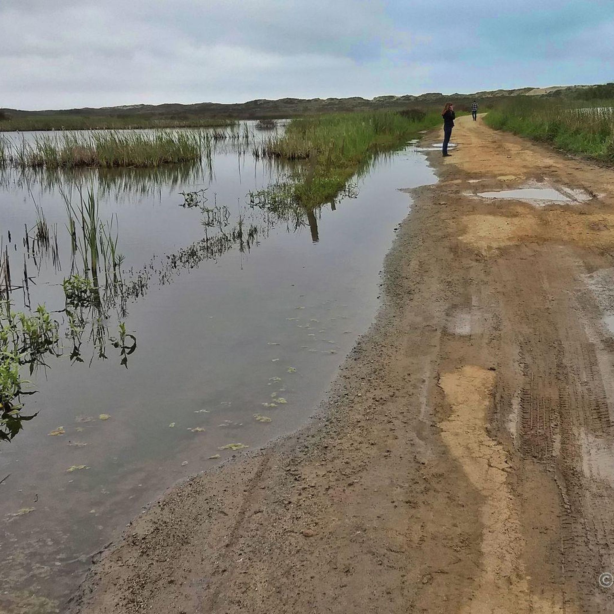

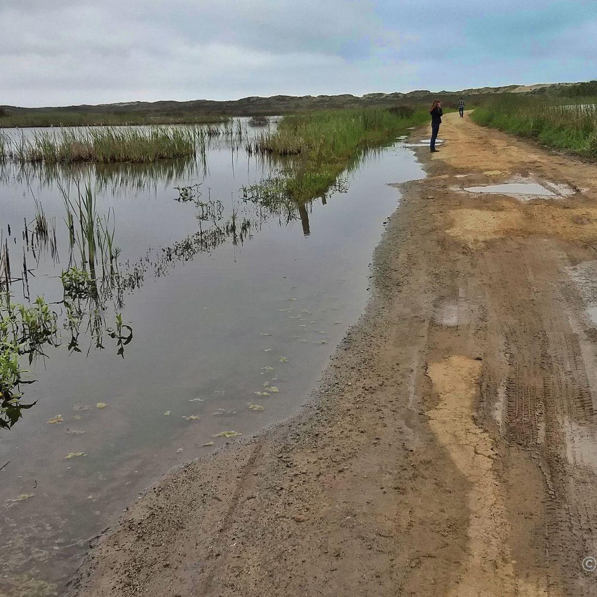
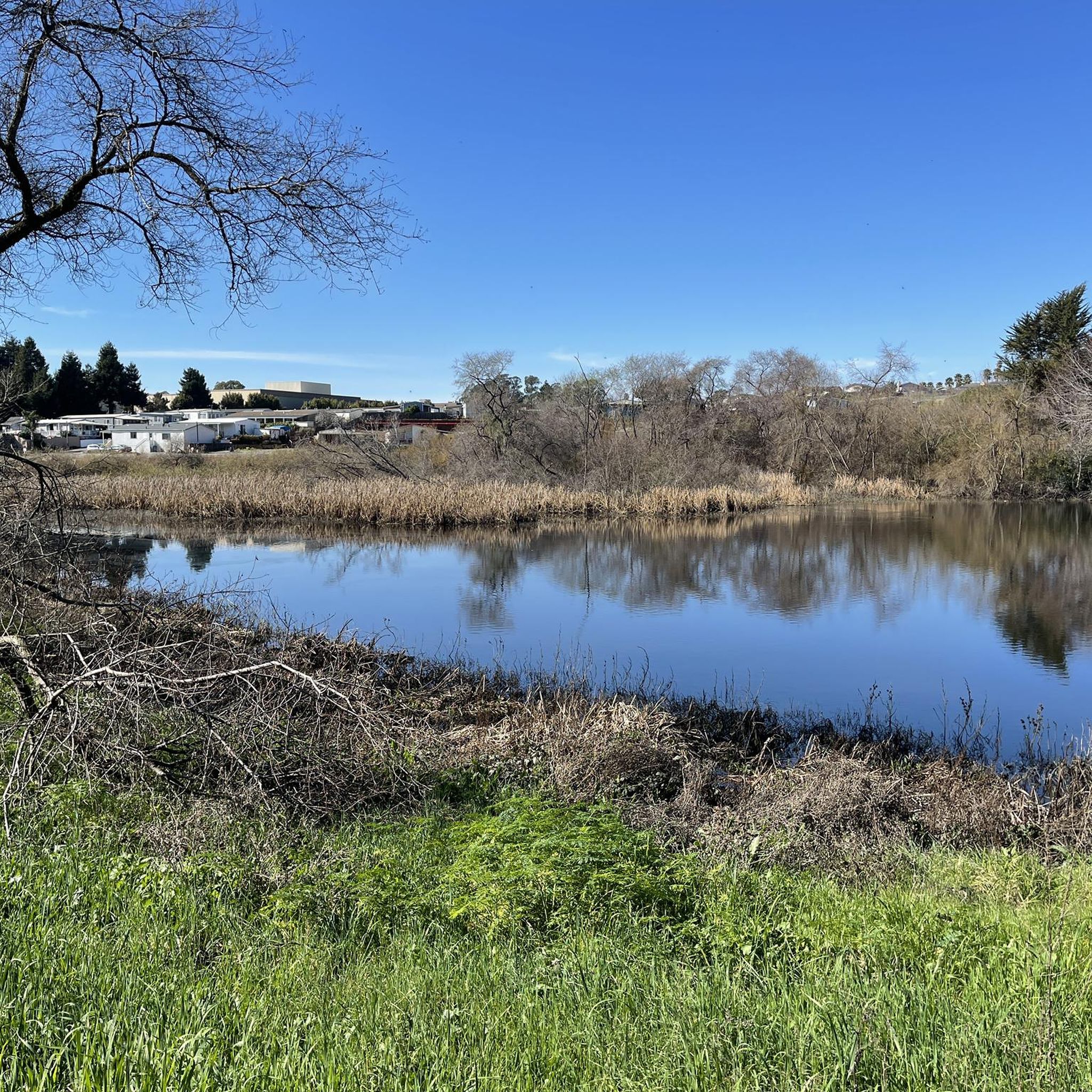
Tips from the Community

One of several natural-surface multi-use trails in these woods, occasionally butting up against Aptos Creek as they wind through the (relatively) young redwoods.
0
0

This is your reward for getting to the top of the incline, panoramic views to the coast. The viewpoint is actually called Top of the Incline, and after this the climb becomes more gradual.
0
0

Seacliff State Beach is a long stretch of sand backed by bluffs and is best known for its concrete freighter, the SS Palo Alto, lying in the water just off the beach.
0
0
The Aptos Creek Road winds through The Forest of Nisene Marks State Park. It is worth parking up your bike and spending some time here to explore the network of trails through Redwood forests and along Aptos Creek.
0
0
This is your reward for getting to the top of the incline, panoramic views to the coast. The viewpoint is actually called Top of the Incline, and after this the climb becomes more gradual. Do note that to get here you'll have to ride on a fire road.
0
0

A peaceful escape surrounded by nature, the towering redwood forest of Nisene Marks' Tillman Grove offers mountain bikers a scenic ride under its lush canopy. Coasting along soft dirt trails, keep your eyes peeled for wildlife peeking out from the ferns and your ears open to birds calling overhead.
0
0
At just under 1,000 feet, the aptly named Top of the Incline viewpoint rewards riders with panoramic vistas. From here, the ascent becomes gradual, giving you a chance to pause and appreciate the sweeping coastal views.
0
0

The Forest of Nisene Marks State Park provides a picturesque backdrop for (trail) running enthusiasts. The park offers a network of diverse trails, weaving through redwood groves and along the Aptos Creek.
0
0
Frequently Asked Questions
How many running routes are there in Aptos Hills-Larkin Valley?
Aptos Hills-Larkin Valley offers a wide selection of running routes, with over 35 unique trails documented on komoot. These routes cater to various preferences, from easy coastal paths to more challenging forest trails.
What kind of landscapes can I expect on the running trails in Aptos Hills-Larkin Valley?
Runners in Aptos Hills-Larkin Valley can enjoy incredibly diverse landscapes. You'll find yourself amidst towering redwood forests, offering shaded and serene environments, as well as picturesque rolling hills and agricultural fields. The region also boasts stunning coastal views and invigorating ocean breezes, particularly along routes near the Pacific Ocean.
Are there any easy running routes suitable for beginners or a relaxed jog?
Yes, Aptos Hills-Larkin Valley has several easy running options. For a gentle experience, consider routes that stick to the coastal areas or parks. While specific easy routes aren't highlighted in the top picks, the region's mild climate and varied terrain ensure there are paths suitable for all fitness levels, including those seeking a less strenuous run.
Are there any challenging running trails for experienced runners seeking a workout?
Absolutely. For those looking for a more demanding run, trails with significant elevation gain are available. A great example is the Tillman Grove – Top of the Incline loop from New Brighton State Beach. This difficult 11.4-mile (18.4 km) path features considerable ascents and offers expansive views, making it a favorite among experienced runners.
What are some notable landmarks or viewpoints I might encounter on a run?
The region is rich with natural beauty and interesting spots. You might encounter the majestic redwood trees within areas like the Forest of Nisene Marks State Park. Coastal runs offer views of the Pacific Ocean and beaches like Seacliff State Beach. A specific viewpoint to look out for is Top of the Incline, which provides expansive vistas.
Are there any family-friendly running routes in Aptos Hills-Larkin Valley?
Many of the trails in Aptos Hills-Larkin Valley are suitable for families, especially those that are less strenuous and offer scenic beauty. Parks like Polo Grounds Park provide enjoyable looped routes, and the extensive trail network in the Forest of Nisene Marks State Park is popular with families. Look for routes with lower difficulty ratings for the best family experience.
Can I bring my dog on the running trails?
Aptos Hills-Larkin Valley is generally dog-friendly, with many trails welcoming leashed dogs. Specific regulations can vary by park or trail, so it's always a good idea to check local signage or park websites for the most current rules regarding pets, especially in state parks like Forest of Nisene Marks or state beaches.
Are there any circular running routes available?
Yes, circular routes are a popular option for runners in the area. For instance, the Tillman Grove – Bench by Aptos Creek loop from Seacliff State Beach is a moderate 7.7-mile (12.4 km) trail that offers a varied terrain near the coast. Another option is the Seacliff State Beach Shipwreck loop from Seacliff State Beach, a 4.7-mile (7.5 km) coastal loop.
What is the best time of year for running in Aptos Hills-Larkin Valley?
The region benefits from a mild climate year-round, making it conducive for outdoor activities in any season. This means you can enjoy running in Aptos Hills-Larkin Valley throughout the year. However, coastal runs might be particularly pleasant during warmer months, while shaded redwood trails offer a cool escape during summer.
Where can I find parking for the running trails?
Parking is generally available at popular access points for trails and parks. For example, if you're starting a coastal run, parking can often be found near Seacliff State Beach or New Brighton State Beach. For trails within the Forest of Nisene Marks State Park, designated parking areas are typically provided at trailheads.
What do other runners enjoy most about jogging in Aptos Hills-Larkin Valley?
The komoot community highly rates the running experience in Aptos Hills-Larkin Valley, with an average score of 4.0 stars. Reviewers often praise the stunning natural beauty, the variety of terrain from redwood forests to coastal paths, and the tranquil atmosphere that makes for an enjoyable and engaging run.
Are there any longer running routes for endurance training?
For those seeking longer distances, Aptos Hills-Larkin Valley offers several options. The Tillman Grove – Top of the Incline loop from New Brighton State Beach is a challenging 11.4-mile (18.4 km) route. Another substantial option is the Tillman Grove – Bench by Aptos Creek loop from Aptos, which spans 16.3 miles (26.3 km) and features significant elevation changes.
Most popular attractions around Aptos Hills-Larkin Valley

Get inspired with the komoot mobile app


Explore more
Browse the best Running Trails & Routes in other regions.
