The best cycling routes around Altadena
4.4
(49)
906
riders
11
rides
Touring cycling routes around Altadena are characterized by their location at the foothills of the San Gabriel Mountains, offering diverse terrain from challenging climbs to more relaxed rides. The region features an extensive network of trails, including paved roads, gravel paths, and dedicated singletracks, alongside tree-lined streets. Natural features like Eaton Canyon and Arroyo Seco provide scenic backdrops and varied cycling environments.
Best touring cycling routes around Altadena
- The most popular touring cycling route is Ye Alpine Tavern ruins –…
Last updated: October 2, 2026
28
riders
24.0km
02:37
1,060m
1,060m
Hard bike ride. Very good fitness required. Mostly paved surfaces. Suitable for all skill levels.
13
riders
14.6km
01:33
550m
550m
Hard bike ride. Very good fitness required. Mostly paved surfaces. Suitable for all skill levels.

13
riders
48.3km
03:56
1,030m
1,030m
Hard bike ride. Very good fitness required. Mostly paved surfaces. Suitable for all skill levels.
9
riders
10.3km
00:48
130m
130m
Easy bike ride. Great for any fitness level. Mostly paved surfaces. Suitable for all skill levels.
12
riders
21.8km
01:54
420m
420m
Moderate bike ride. Good fitness required. Mostly paved surfaces. Suitable for all skill levels.
Get access to more routes and recommendations from other explorers.
Already have an account?
Our route recommendations are based on thousands of hikes, rides, and runs completed by other people on komoot.
Start today with a free account
Your next adventure awaits.

Other adventures around Altadena

Tips from the Community

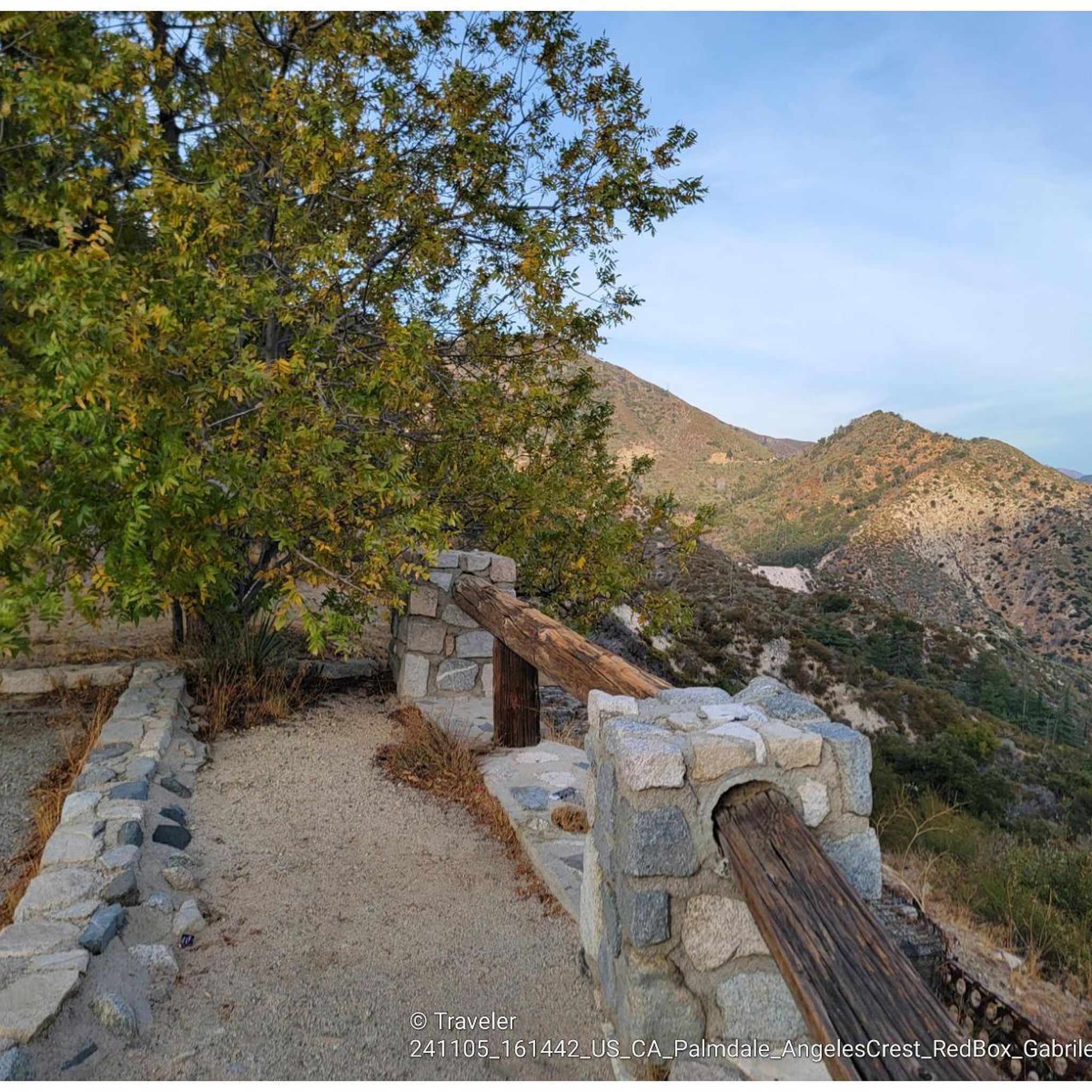
Henninger Flats sits along the road with views of Altadena. You’ll pass by it while climbing the Mt. Wilson Toll Road and can take a moment to catch your breath while enjoying the views. The route features a steady climb with minimal shade, so it’s best to start early, especially in summer. At the top, enjoy panoramic views of the San Gabriel Valley and explore the area, which includes a visitor center, picnic spots, and a tree nursery.
0
0
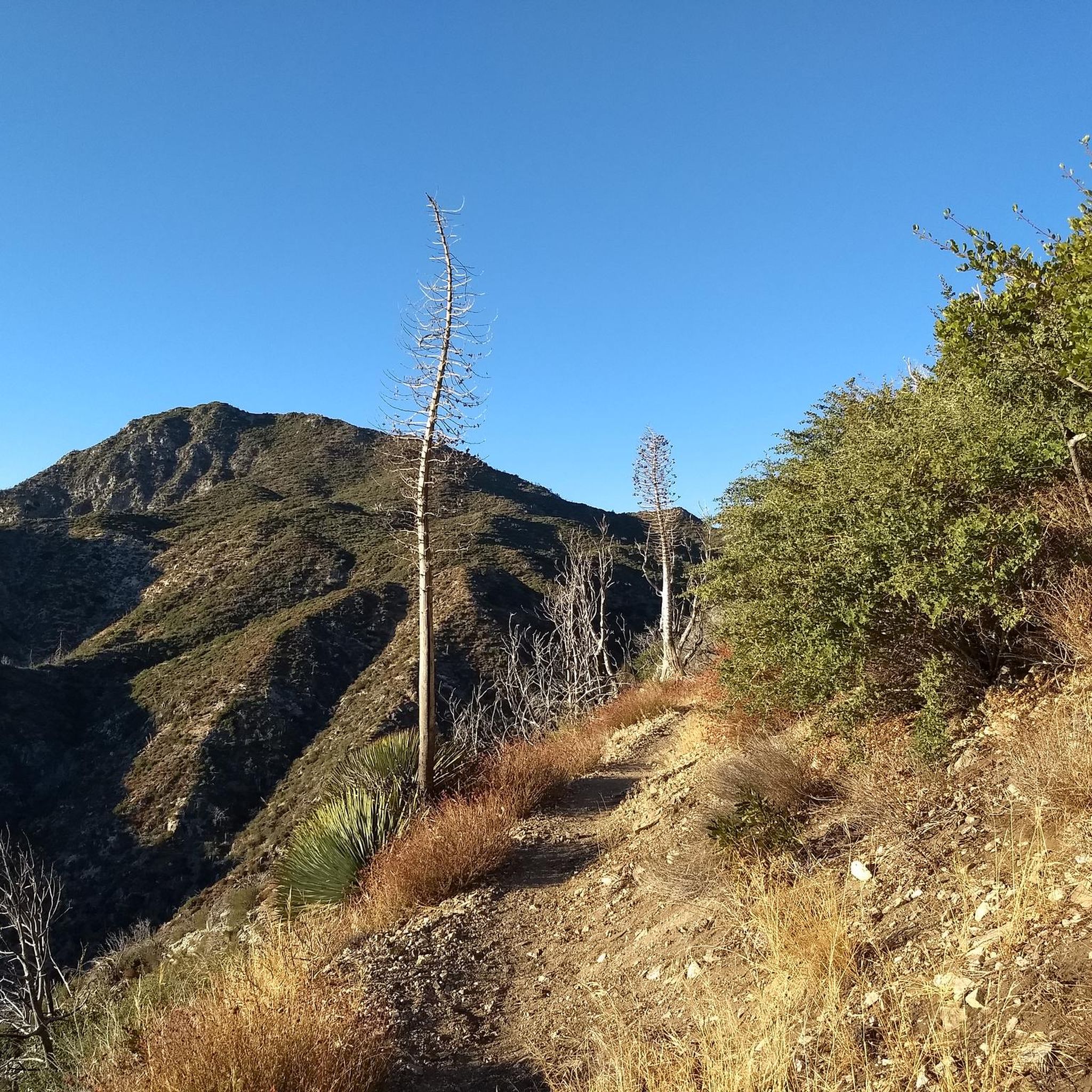
For a ride with history and views, check out the Ye Alpine Tavern ruins in the San Gabriel Mountains. Once a popular mountain resort, it burned down in 1936 and was later demolished, but you can still spot the stone fireplace, foundation, and water tank.
0
0
Andrea Wilson Triangle is a small protected area along Chaney Trail in Altadena. Though not a developed trail, it’s part of a larger effort to preserve open space and wildlife habitat in the foothills near Angeles National Forest.
0
0

Cherry Canyon Park is an area of 130 acres in the San Rafael Hills, close to La Cañada Flintridge. It features multiple trails and fire roads for horses, mountain bikers and hikers, but also various single tracks that are only for hiking. From the trails, you will get a great overview over the area.
0
0

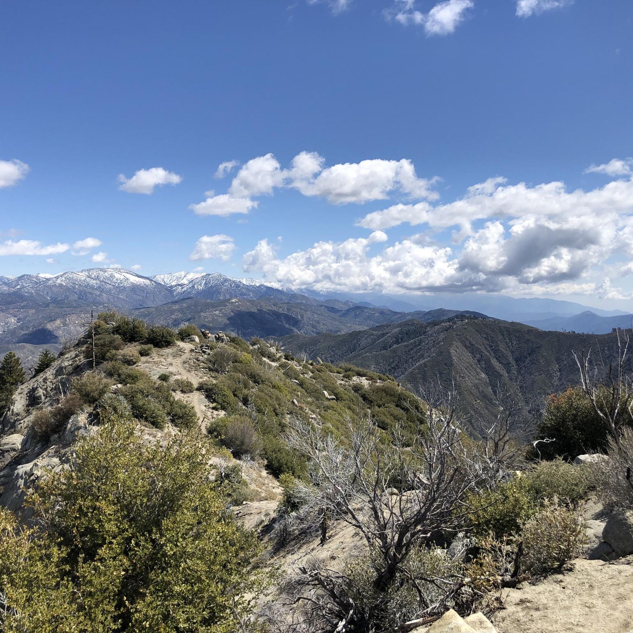
The Gabrielino Trail spans 28.8 miles in the heart of Angeles National Forest, featuring a mix of well-known and secluded areas. This scenic route is perfect for running and boasts historical importance as well. In 1970, it became the first National Recreation Trail (NRT) in the country, honored for its regional representation, support of a diverse community, and recognition as one of America's finest trails.
0
0

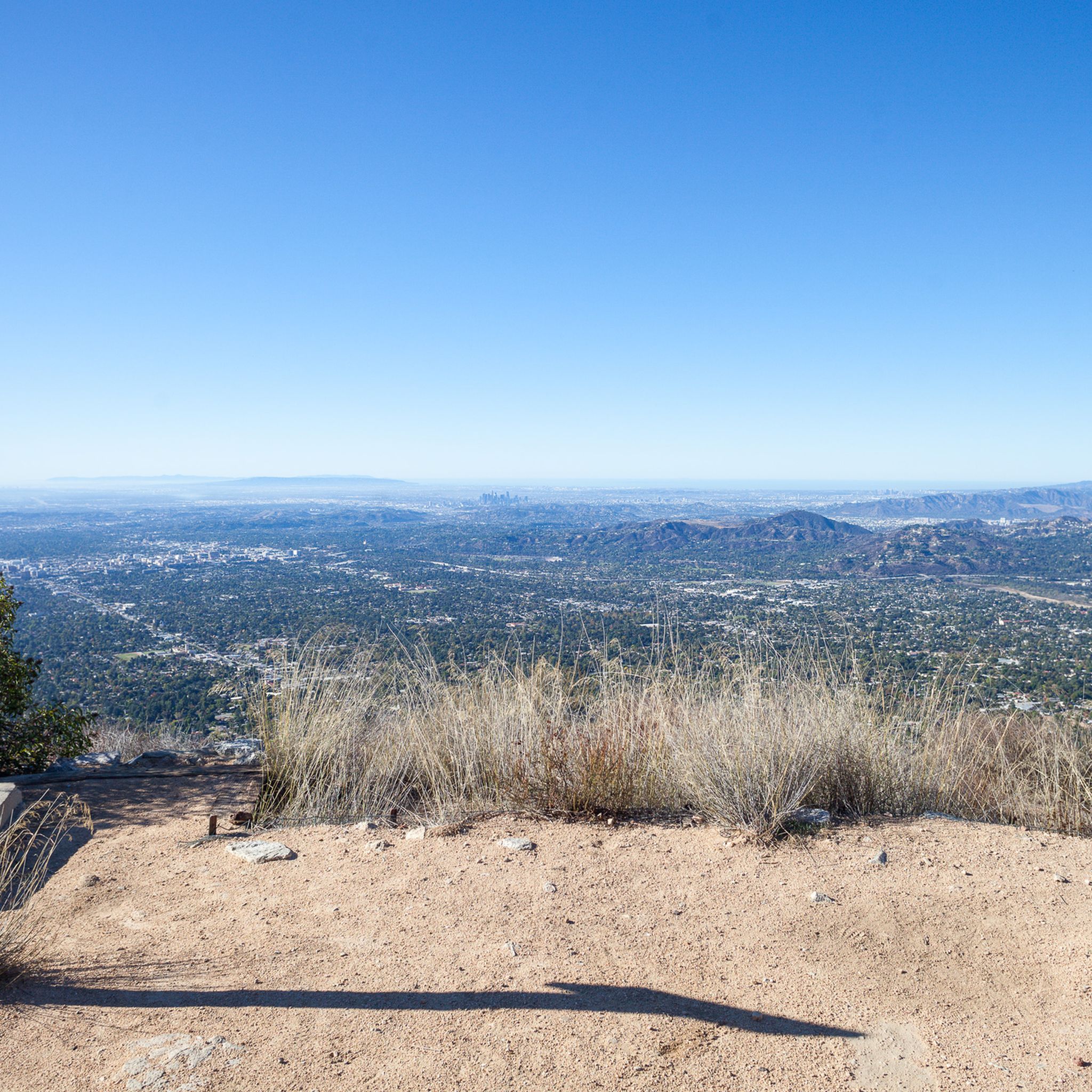
Great view of Downtown LA. The climb up into the hills to reach the viewpoint is challenging, but it is worth the effort for the excellent vistas.
0
0
The Verdugo Wash Debris Basin is a beautiful, small lake created by the Verdugo Wash, a tributary of the Los Angeles River. There are nice views of the lake from both Country Club Drive and La Crescenta Avenue.
0
0

Built in 1920, Devil's Gate Dam is the oldest dam constructed by the Los Angeles County Flood Control District, designed to protect Pasadena, South Pasadena, and Los Angeles from floods. The dam was named after a rock formation resembling a devil’s face and gained popularity in the 1940s when occultists performed rituals there. Today, Devil's Gate Dam attracts hikers, paranormal investigators, and TV crews checking out its haunted reputation.
0
0
Frequently Asked Questions
How many touring cycling routes are available around Altadena?
There are 11 touring cycling routes available around Altadena, offering a variety of experiences from easy rides to challenging mountain ascents.
Are there any easy touring cycling routes for beginners in Altadena?
Yes, Altadena offers an easy touring cycling route perfect for beginners. We recommend the Gabrielino Trail (NRT) loop from John Muir High School, which is 6.4 miles (10.3 km) long and features minimal elevation gain, making it a pleasant ride for those new to touring cycling in the area.
What kind of terrain can I expect on touring cycling routes in Altadena?
Touring cycling routes in Altadena feature diverse terrain, ranging from paved roads and gravel paths to dedicated singletracks. You'll encounter significant elevation changes in the San Gabriel Mountains foothills, offering challenging climbs and rewarding descents, as well as more relaxed rides through tree-lined streets and natural settings like Arroyo Seco.
Are there any circular touring cycling routes in Altadena?
Yes, many of Altadena's touring cycling routes are designed as loops. For example, the Ye Alpine Tavern ruins – Inspiration Point loop from MRCA Open Space is a popular circular route that takes you through mountainous terrain with historical ruins and panoramic views.
What are some notable landmarks or natural features I can see along Altadena's touring cycling routes?
Altadena's routes offer access to several interesting landmarks and natural features. You can explore the historic Mount Lowe Railway Ruins, enjoy panoramic vistas from Inspiration Point, or visit the seasonal Eaton Canyon Waterfall. The Devil's Gate Dam – Overlook loop from Altadena also takes you past the historic Devil's Gate Dam.
What is the best time of year for touring cycling in Altadena?
The mild Southern California climate generally provides good cycling conditions year-round. However, spring and fall are particularly pleasant due to moderate temperatures, making them ideal seasons for touring cycling in Altadena.
Are there any challenging touring cycling routes for experienced riders?
Absolutely. Altadena is known for its challenging routes in the San Gabriel Mountains foothills. Experienced riders can tackle routes like the La Tuna Canyon Road – Verdugo Peak loop from Altadena, a difficult 29.5-mile (47.4 km) path featuring significant elevation changes and expansive vistas.
What do other touring cyclists enjoy most about the routes in Altadena?
The touring cycling routes in Altadena are highly rated by the komoot community, with an average score of 4.88 stars from over 45 reviews. Cyclists often praise the diverse terrain, the rewarding views from the San Gabriel Mountains foothills, and the variety of experiences from historical sites to natural beauty.
Are there any family-friendly touring cycling options in Altadena?
Yes, areas like Eaton Canyon offer family-friendly paths that can be incorporated into cycling routes. The Gabrielino Trail (NRT) loop from John Muir High School is also an easy option suitable for families looking for a more relaxed ride.
Where can I find parking for Altadena's touring cycling routes?
Many routes start from accessible points with parking options. For example, the Ye Alpine Tavern ruins – Inspiration Point loop starts from MRCA Open Space, which typically has parking available. Local parks like Loma Alta Park and Farnsworth Park can also serve as starting points with amenities.
Are there any cafes or places to eat near the touring cycling routes in Altadena?
Altadena and its neighboring areas offer various cafes and restaurants. While specific establishments directly on trails may be limited, the town itself has options for refreshments and meals, especially as routes often transition from natural environments into more urban settings.
Are permits required for cycling on trails in Altadena or the Angeles National Forest?
While many local paths do not require specific cycling permits, it's always advisable to check current regulations for trails within the Angeles National Forest, as some areas or specific activities might have permit requirements. Always respect signage and local guidelines.
Can I access Altadena's touring cycling routes using public transport?
Altadena has public transport options, including Pasadena Transit, which can provide access to areas near trailheads. It's recommended to check current routes and schedules, such as Pasadena Transit Route 88, for the most up-to-date information on reaching specific trail access points.
Most popular routes around Altadena
Most popular attractions around Altadena

Get inspired with the komoot mobile app


Explore more
Browse the best Cycling routes in other regions.
