The best road cycling routes around Acalanes Ridge
4.5
(139)
5,151
riders
118
rides
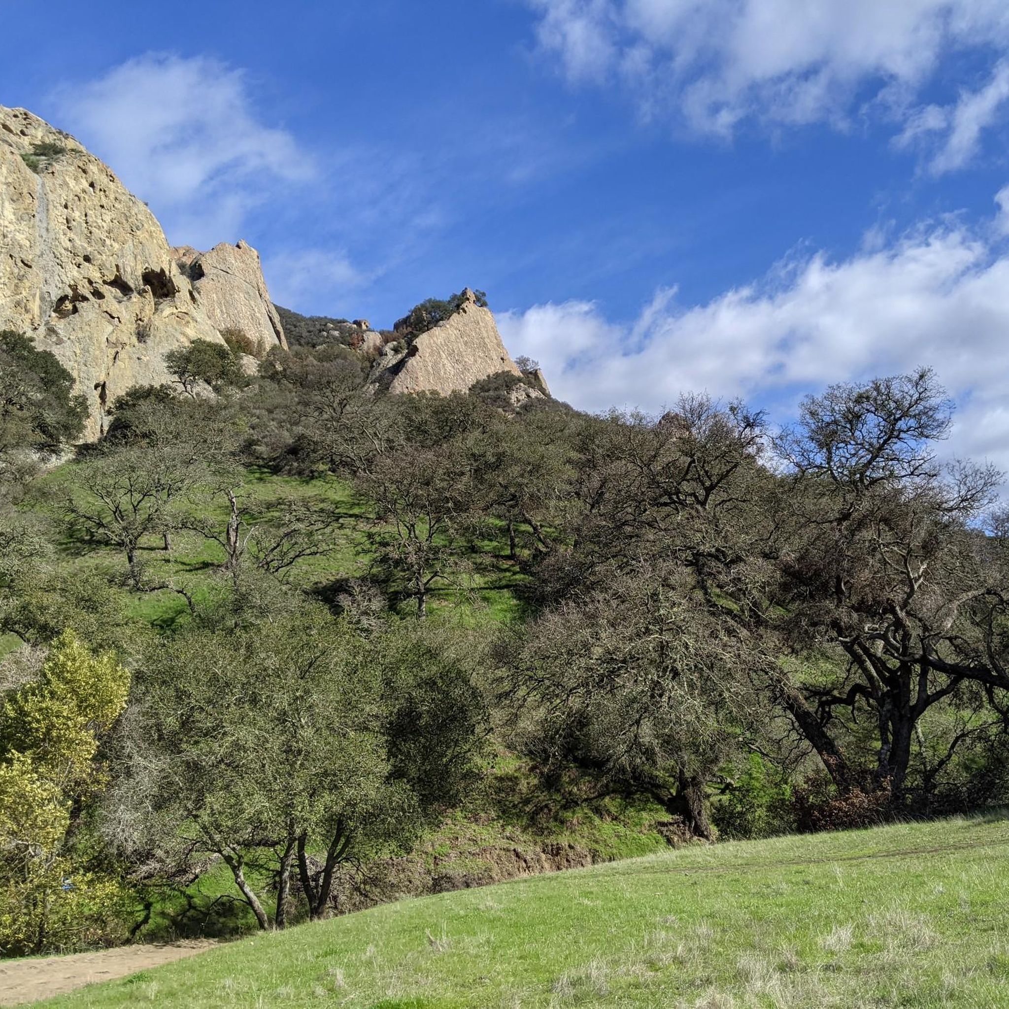
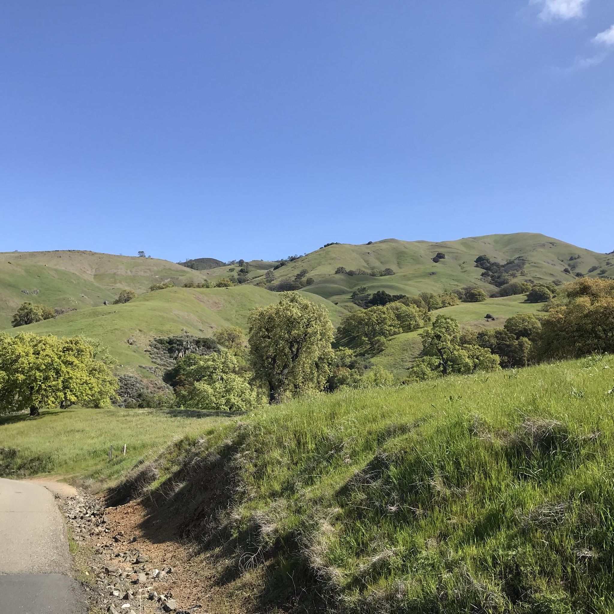
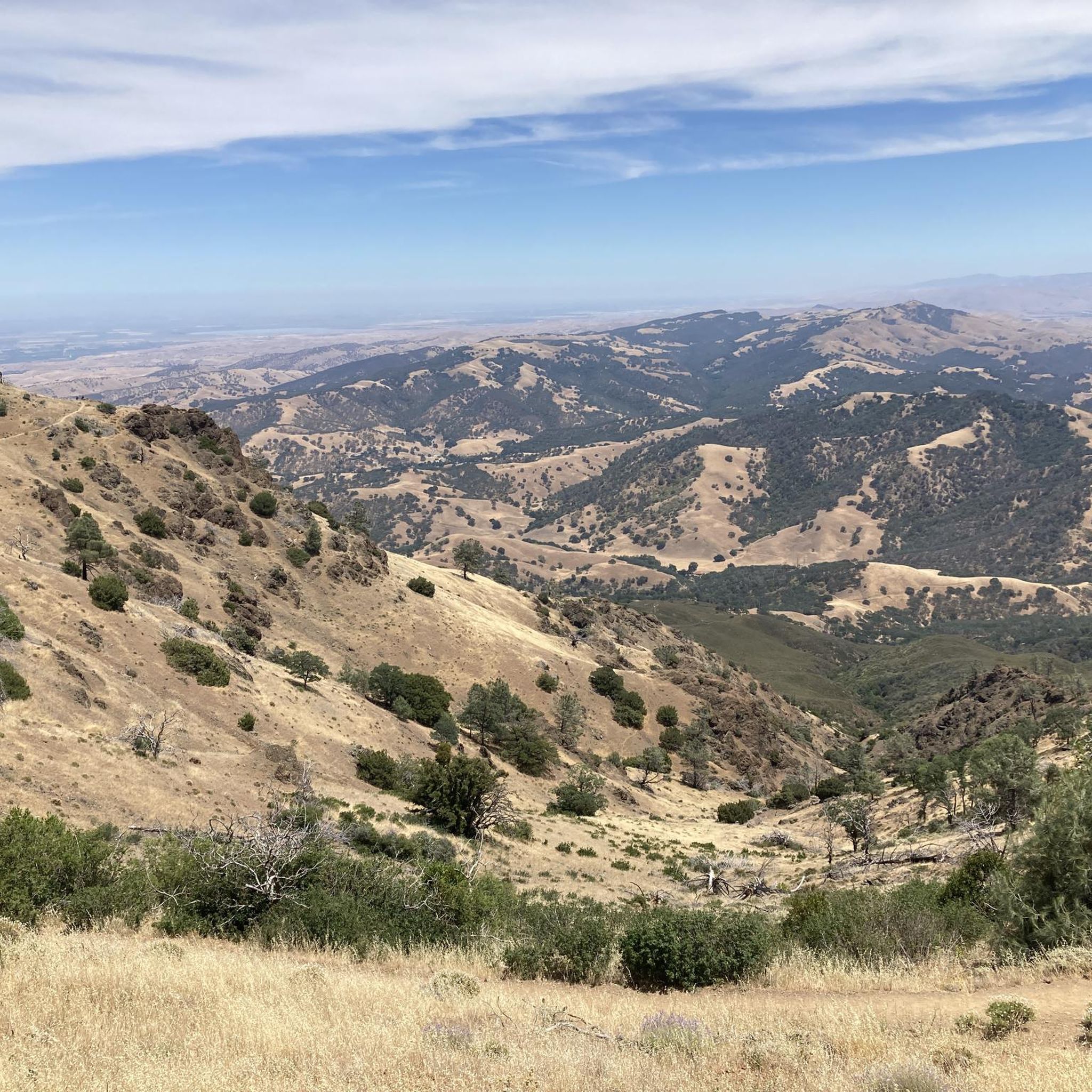
Road cycling routes around Acalanes Ridge are characterized by varied terrain and connectivity to broader paved trail networks. The area serves as a natural greenbelt, providing panoramic vistas of the Oakland Hills, Mount Diablo, and the Carquinez Strait. Cyclists can navigate ridgelines and integrated trail systems, offering both scenic beauty and strategic access points for rides.
Best road cycling routes around Acalanes Ridge
- The most popular road cycling route is Sunol Depot loop, a 65.4 miles (105.3 km) trail…
Last updated: May 28, 2026
32
riders
105km
04:25
600m
600m
Moderate road ride. Good fitness required. Mostly well-paved surfaces and easy to ride.
5.0
(2)
257
riders
90.3km
04:15
1,050m
1,050m
Hard road ride. Very good fitness required. Mostly well-paved surfaces and easy to ride.

Sign up for free
5.0
(5)
58
riders
35.1km
01:44
440m
440m
Moderate road ride. Good fitness required. Mostly well-paved surfaces and easy to ride.
21
riders
93.4km
04:45
1,400m
1,400m
Hard road ride. Very good fitness required. Mostly well-paved surfaces and easy to ride.
5.0
(3)
41
riders
Easy road ride. Great for any fitness level. Mostly well-paved surfaces and easy to ride.
Get access to more routes and recommendations from other explorers.
Sign up for free
Already have an account?
Our route recommendations are based on thousands of hikes, rides, and runs completed by other people on komoot.
Start today with a free account
Your next adventure awaits.
Login or Signup

Tips from the Community

This road parallels the ridgeline above and have great views over the bay and surrounding hills.
0
0

Olympic Blvd. Staging Area is a convenient starting point or rest stop for your ride, with parking, restrooms, and water available. It connects directly to the paved Lafayette-Moraga Trail.
0
0

This pretty little brick walkway wanders through a tunnel of shops, restaurants, and businesses around Orinda Theater. The awnings and aerial walkways lend the feeling of an old bustling medieval city.
0
0

Leigh Creekside Park is a small park that is just over an acre in size. The park is a nice resting spot just off the Lafayette-Moraga Trail and features picnic tables, a drinking fountain, and plenty of shade
0
0
The Iron Horse Trail is a 32-mile multi-path that connects the towns of Concord and Pleasanton. It follows the route of the abandoned Southern Pacific Railroad. With its access to schools, business centers, and parks, the path is popular with commuters and recreationalists.
0
0

The Lamorinda Trail Loop passes through Orinda, Moraga, and Lafayette. The loop spans 17.5 miles in total, mostly flat and paved, with parking available in downtown Orinda or El Nido Ranch Road. The St. Stephen's Trail is 1.2 miles, suitable for pedestrians, bikes, dogs, and wheelchairs.
0
1
This charming lake sits along the Ygnacio Canal Trail at Heather Farm Park. The park features two lakes, open grassy areas, playgrounds, picnic tables, and other facilities. The lake and surrounding areas are a great spot to take a break while cycling the Ygnacio Canal Trail.
0
0
The Lafayette-Moraga Regional Trail is a 7.65-mile paved path for hiking, biking, and horseback riding, open from 5 a.m. to 10 p.m. daily. Paralleling St. Mary's Road, the trail connects Lafayette and Moraga, passing through the scenic Moraga Valley. It is a historical route for mule and steam trains transporting redwood lumber. The trail starts at Olympic Boulevard in Lafayette and ends at the Valle Vista staging area near the San Leandro Reservoir. Along the way, it links to schools, parks, and commercial areas and is maintained by the East Bay Regional Park District.
0
0
Frequently Asked Questions
How many road cycling routes are available around Acalanes Ridge?
There are over 100 road cycling routes around Acalanes Ridge, catering to various skill levels. The komoot community has explored more than 109 routes in the area, with 48 easy, 46 moderate, and 15 difficult options.
What kind of terrain can I expect on road cycling routes near Acalanes Ridge?
Road cycling routes around Acalanes Ridge feature varied terrain, from mostly paved paths suitable for all skill levels to more challenging climbs with significant elevation gains. The area is known for its connectivity to broader paved trail networks, making it ideal for road bikes.
Are there routes suitable for beginners or families with children?
Yes, Acalanes Ridge offers several easy, mostly paved routes perfect for beginners and families. For example, the Heather Farm Park Lake – Walden Park loop from Walnut Creek is a gentle 15.4-mile ride with minimal elevation, and the Leigh Creekside Park – Lafayette-Moraga Trail loop from Walnut Creek offers another easy 18.4-mile option.
Where can I find challenging road cycling routes with significant elevation gain?
For experienced cyclists seeking a challenge, routes around Acalanes Ridge offer substantial elevation. The Iron Horse Trail bridge – Iron Horse Trail junction loop from Walnut Creek is a difficult 56.1-mile path with over 3,400 feet of climbing. Another demanding option is the Grizzly Peak Boulevard – Skyline Boulevard loop from Walnut Creek, which covers 51.2 miles with over 4,500 feet of elevation gain.
What are the best viewpoints or scenic spots along road cycling routes?
Acalanes Ridge is renowned for its spectacular 360-degree views. Cyclists can enjoy sweeping panoramas of the Oakland Hills, Mount Diablo, Suisun Bay, and the Carquinez Strait. Specific viewpoints like Las Trampas Ridge and the View from Las Trampas Peak offer breathtaking vistas of the surrounding natural beauty.
Are there any natural attractions or landmarks to see while cycling?
Yes, the area around Acalanes Ridge offers several natural attractions. You can explore Hidden Lake, or visit natural monuments like John Muir Memorial Park. The region also features unique geological formations such as the Sandstone caves in Castle Rock formations.
What do other road cyclists say about the routes in Acalanes Ridge?
The road cycling routes in Acalanes Ridge are highly rated by the komoot community, with an average score of 4.4 stars from over 100 reviews. Cyclists often praise the diverse terrain, panoramic vistas, and the well-integrated trail networks that offer options for various ability levels.
When is the best season for road cycling around Acalanes Ridge?
The spring season is particularly beautiful for road cycling around Acalanes Ridge, as the area comes alive with spectacular wildflowers, adding vibrant color to the landscape. However, the region's mild climate generally allows for enjoyable cycling throughout much of the year.
Are there loop routes available for road cyclists?
Yes, many road cycling routes around Acalanes Ridge are designed as loops, offering a convenient way to start and end your ride at the same point. An example is the Sunol Depot loop, a moderate 65.4-mile route.
Where can I park my car when visiting Acalanes Ridge for cycling?
The area is easily accessible from Walnut Creek and Lafayette, with various staging areas offering parking. The Olympic Blvd Staging Area is a convenient option, as it connects directly to the paved Lafayette-Moraga Trail and often provides restrooms and water facilities.
Can I reach the cycling routes by public transport?
Acalanes Ridge is well-connected and accessible. While specific public transport routes vary, the area's proximity to Walnut Creek and Lafayette suggests that public transport options are available to get you close to the trail networks, from where you can begin your ride.
Most popular attractions around Acalanes Ridge

Get inspired with the komoot mobile app


Explore more
Browse the best Road cycling routes in other regions.
