The best road cycling routes around Claremont
4.5
(18)
1,236
riders
40
rides
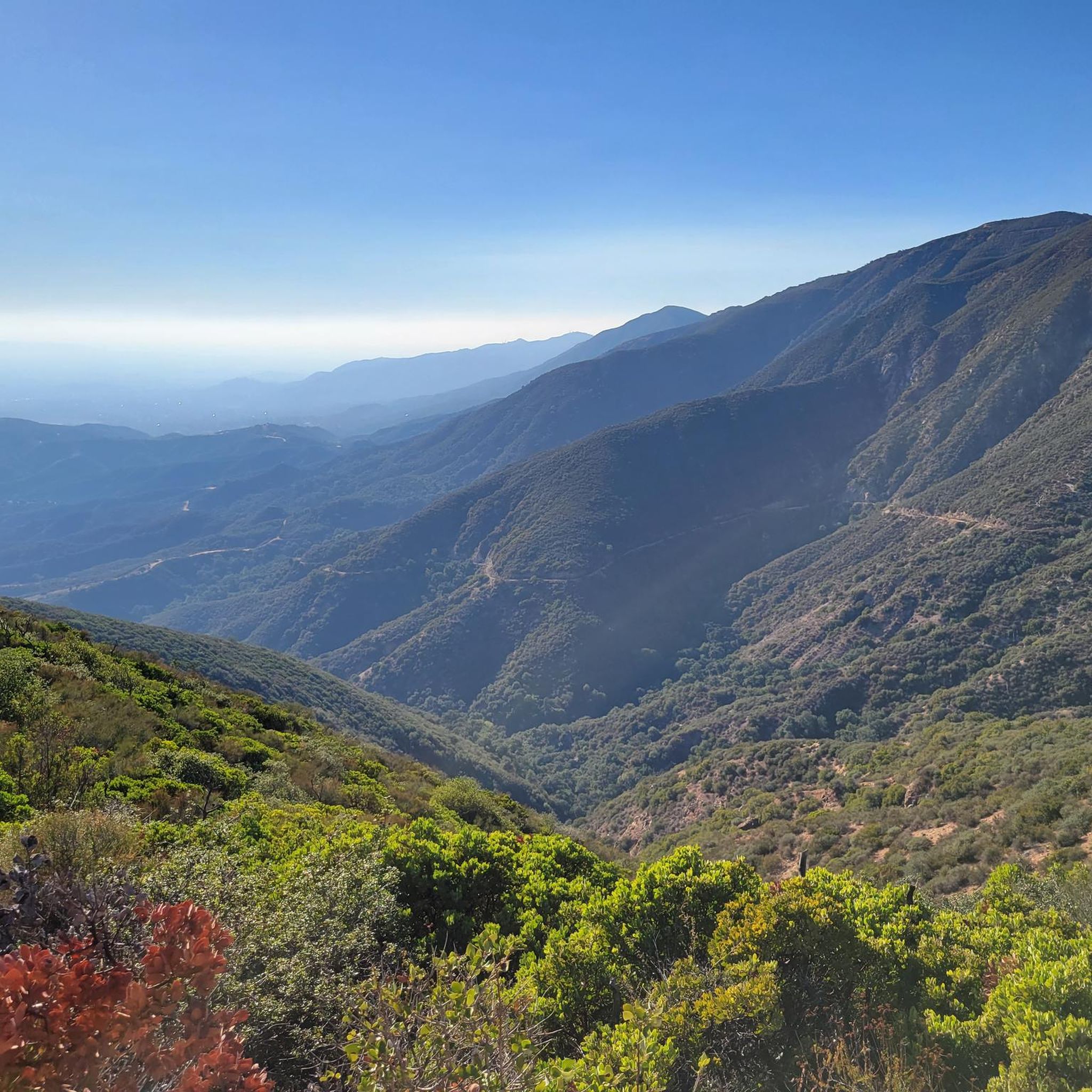
Road cycling routes around Claremont offer diverse terrain, from the foothills of the San Gabriel Mountains to more urban and suburban paths. The region is characterized by significant elevation changes in its northern sections, providing challenging climbs and panoramic views of the Pomona Valley and Inland Empire basin. Lower elevations feature more gentle routes through green spaces and along historic corridors like Route 66. Claremont's landscape supports a range of road cycling experiences, from demanding mountain ascents to accessible, flatter loops.
Best road cycling routes around Claremont
- The most popular road cycling route is Glendora Ridge Road – Little Dalton Debris Basin loop from Montclair, a 45.7 miles (73.6 km) trail that takes 4 hours 37 minutes to complete. This difficult route features demanding hills and vistas within the San Gabriel Mountains.
- Another top favourite among local road cyclists is Newman Point Overlook – Little Dalton Debris Basin loop from Claremont, a moderate 35.1 miles (56.6 km) path. This route includes significant elevation gain with views of the surrounding area.
- Local road cyclists also love the Upland Basin – View of Puddingstone Reservoir loop from Montclair, a 19.9 miles (32.1 km) trail leading through varied urban landscapes and past a reservoir, often completed in about 1 hour 54 minutes.
- Road cycling around Claremont is defined by the foothills of the San Gabriel Mountains, historic routes like Route 66, and accessible green spaces. The network offers options for different ability levels, from challenging mountain climbs to moderate and easy loops.
- The routes in Claremont are highly rated by the komoot community with an average score of 4.4 stars from over 10 reviews. More than 1,000 road cyclists have used komoot to explore Claremont's varied terrain.
Last updated: June 29, 2026
5.0
(4)
374
riders
73.6km
04:37
1,660m
1,660m
Hard road ride. Very good fitness required. Mostly well-paved surfaces and easy to ride.
81
riders
120km
06:56
2,350m
2,350m
Hard road ride. Very good fitness required. Mostly well-paved surfaces and easy to ride.

Sign up for free
31
riders
Moderate road ride. Good fitness required. Mostly well-paved surfaces and easy to ride.
15
riders
26.9km
01:47
800m
800m
Moderate road ride. Good fitness required. Mostly well-paved surfaces and easy to ride.
7
riders
47.9km
02:16
490m
490m
Moderate road ride. Good fitness required. Mostly well-paved surfaces and easy to ride.
Get access to more routes and recommendations from other explorers.
Sign up for free
Already have an account?
Our route recommendations are based on thousands of hikes, rides, and runs completed by other people on komoot.
Start today with a free account
Your next adventure awaits.
Login or Signup

Tips from the Community

You can cycle across the top of the dam, which was constructed in 1928 to help control flooding in the region. It stands at 147 feet high, and today supports a myriad of outdoor recreation activities on the reservoir.
0
0

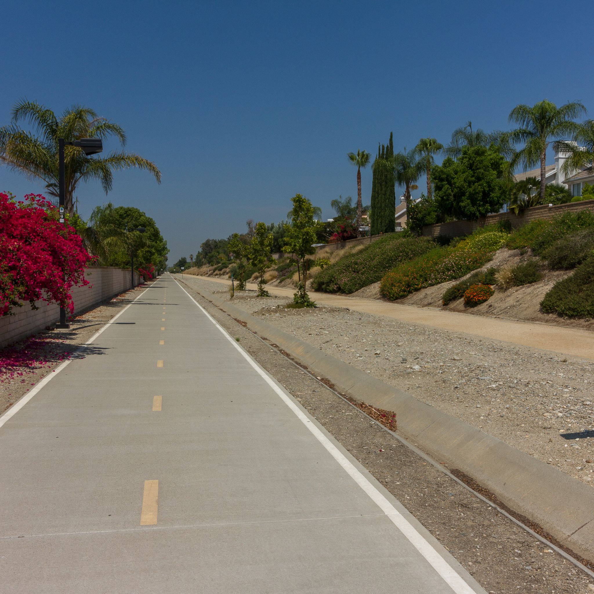
If you’re riding the Pacific Electric Trail, you’ll pass by Upland Basin, part of the Waterwise Community Center and Chino Basin Water Conservation District. It’s a water reservoir that helps manage stormwater for the area. You can also visit the Waterwise Community Center a few blocks south—they offer free workshops on gardening, irrigation, and more, both online and in person.
0
0
San Gabriel Reservoir is a good place to end your route across the mountains, with dramatic views and wide open space. The road curves above the reservoir, making it a great spot to catch your breath and take in the landscape. Early mornings are quieter and cooler—perfect for a break during a long climb.
0
0

Mount Baldy Village & ski resort towers above the San Gabriel Valley & Los Angeles suburbs and is a lovely alpine community with a wonderful restaurant and a pub. It's a great place to stop, take in the incredible scenery, and refuel during your ride.
0
0

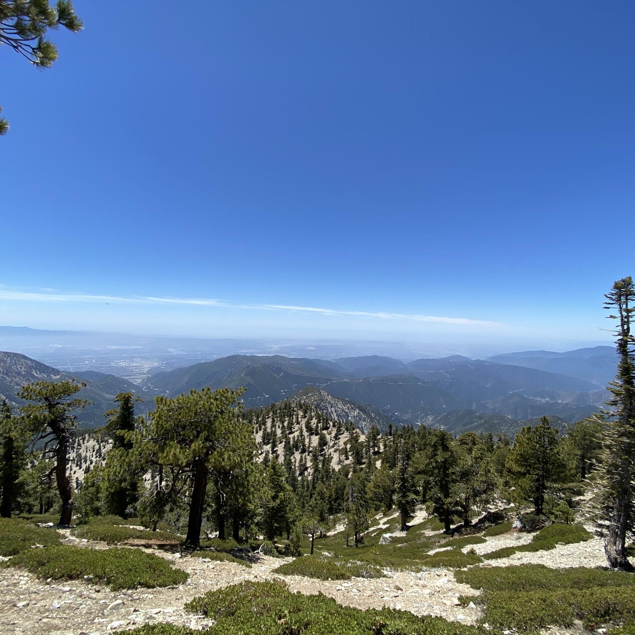
The climb up Mount Baldy is a serious challenge, starting with a moderate grade that quickly intensifies as you ascend. As you pass through the village, the road narrows and steepens, with sections reaching 10-14% gradients and tight switchbacks that demand your focus. The final stretch to the summit, used in the Tour of California, offers a tough alpine ascent that tests even the most seasoned climbers.
0
0

Great view of the Puddingstone Reservoir, a 250-acre man-made body of water. There is a road that runs along the perimeter of the reservoir and there is a spot to pull off the road to get a close up view of the water.
0
0

The best thing about Big Tree Park is... the big tree! Rightfully named, Big Tree Park boasts one of the largest Moreton Bay Figs south of Santa Barbara, planted in the late 1880s by Mr. Edgar J. Owens, a Glendora local. Today, the tree is almost 100 feet tall and has cables reinforcing it. There are no restrooms available at this park, and sometimes there are events like weddings here.
0
0

Rubel Castle in Glendora, California, is a unique building that was built by Michael Clarke Rubel. Constructed with recycled materials, including stones from local quarries and discarded items, the castle showcases unique architecture.
0
0
Frequently Asked Questions
How many road cycling routes are available in Claremont?
Claremont offers a wide variety of road cycling experiences, with over 40 routes available. These routes cater to different skill levels, including easy, moderate, and difficult options.
What are the difficulty levels of road cycling routes in Claremont?
The routes in Claremont range from easy to difficult. You'll find approximately 19 easy routes, 21 moderate routes, and 3 challenging routes designed for experienced cyclists seeking significant elevation gains.
What kind of scenic views can I expect on road cycling routes in Claremont?
Road cycling in Claremont offers diverse and stunning views. You can expect panoramic vistas of the San Gabriel Valley, Downtown Los Angeles, and the Inland Empire basin from higher elevations. Routes also feature lush, oak-covered terrain, historic architecture in Claremont Village, and vibrant wildflowers in spring.
Are there any notable landmarks or natural features to explore along the road cycling routes?
Yes, several notable features enhance the cycling experience. You can explore the 'Sherwood Forest' feel of Marshall Canyon Trail, ride along the historic Route 66 cycle path, or tackle the challenging ascents of Glendora Ridge Road. The San Gabriel River East Fork Trail and Bear Canyon Trail also offer natural beauty.
Which routes offer challenging climbs for experienced road cyclists?
For experienced road cyclists seeking demanding climbs, the San Gabriel Mountains provide excellent options. Routes like the Glendora Ridge Road – Little Dalton Debris Basin loop from Montclair and the Mount Baldy – Mount Baldy Village loop from Montclair feature significant elevation gains and stunning mountain vistas.
What are some options for easier, more relaxed road cycling in Claremont?
For a gentler ride, the Thompson Creek Trail offers a scenic and accessible path through native foliage. Additionally, the charming Claremont Village and its tree-lined streets provide picturesque and quiet routes for leisurely exploration, connecting to local parks and college campuses.
Are there any routes that follow historic paths like Route 66?
Yes, you can cycle along a section of the historic Route 66. The Route 66 cycle path loop from Montclair is a popular moderate trail that leads through varied urban and suburban landscapes, offering a unique blend of history and scenery.
Can I combine different trails to extend my ride?
Absolutely. Many trails in Claremont can be linked to create longer and more varied rides. For instance, the Marshall Canyon Trail can be connected with others, including the Claremont Loop and Potato Mountain, allowing you to extend your journey and increase elevation.
How accessible are Claremont's road cycling routes by public transport?
Claremont is well-connected by public transport for cyclists. The Metrolink commuter train service allows you to travel with your bike from surrounding Southern California counties directly to Claremont, making it convenient to access the cycling routes.
Where can I find parking for road cycling routes in Claremont?
Claremont is recognized as a Bicycle Friendly Community, and parking is generally available. Specific parking areas can be found near popular trailheads such as the Claremont Hills Wilderness Park, and for routes accessing the San Gabriel Mountains, designated parking is often available at the base of the climbs or in nearby communities.
What do other road cyclists enjoy the most about road cycling in Claremont?
The area is highly rated by the komoot community, with an average score of 4.0 stars from 9 reviews. Cyclists often praise the diverse terrain, from challenging mountain ascents to accessible green spaces, and the stunning panoramic views available throughout the region.
Are there loop trails for road cycling in Claremont?
Yes, many road cycling routes in Claremont are designed as loops, offering convenient starting and ending points. Examples include the Big Dalton Debris Basin – Little Dalton Debris Basin loop from Claremont and the Upland Basin – View of Puddingstone Reservoir loop from Montclair, providing varied distances and difficulties.
Most popular attractions around Claremont

Get inspired with the komoot mobile app


Explore more
Browse the best Road cycling routes in other regions.
