The best running trails around Bellflower
5.0
(6)
139
runners
32
runs
If you've ever tried to plan jogging around Bellflower, you know how quickly the options can feel overwhelming. With so many parks and trails, it's tough to tell which routes are genuinely worth your time and effort, and which are just filler. That's where we come in. Our komoot community has mapped, run, and reviewed these routes, so this guide is your curated shortlist of the very best, saving you all the guesswork.
Bellflower offers a welcoming environment for joggers, characterized by its mostly flat topography and well-maintained urban green spaces. You'll find everything from easy park loops to more challenging runs, all within a pleasant Mediterranean climate that makes most days suitable for getting outside. The city's commitment to accessible trails means you're never far from a good run.
For a consistent surface suitable for regular running, we'd start with the Running loop from Cerritos, a solid 6.3 miles (10.1 km) that’s a favorite among locals. If you're looking for a slightly longer, scenic experience, the El Dorado East Regional Park loop from Lakewood, at 6.4 miles (10.3 km), takes you through beautiful parkland. With more than 100 runners having explored Bellflower with komoot, you can trust these routes are worth your legs.
Last updated: May 30, 2026
5.0
(8)
15
runners
Moderate run. Good fitness required. Mostly paved surfaces. Suitable for all skill levels.
6
runners
10.1km
01:02
10m
10m
Moderate run. Good fitness required. Mostly paved surfaces. Suitable for all skill levels.

7
runners
Moderate run. Good fitness required. Mostly paved surfaces. Suitable for all skill levels.
3
runners
5.66km
00:35
10m
0m
Moderate run. Good fitness required. Mostly paved surfaces. Suitable for all skill levels.
3
runners
8.16km
00:50
10m
10m
Moderate run. Good fitness required. Mostly paved surfaces. Suitable for all skill levels.
Get access to more routes and recommendations from other explorers.
Already have an account?
Our route recommendations are based on thousands of hikes, rides, and runs completed by other people on komoot.
Start today with a free account
Your next adventure awaits.
Popular around Bellflower

Tips from the Community

Limited cars use the roads so it is nice to get away from traffic
0
0

One of the largest urban parks in the valley, with lakes, meadows, sports fields, picnic areas, etc.
0
0
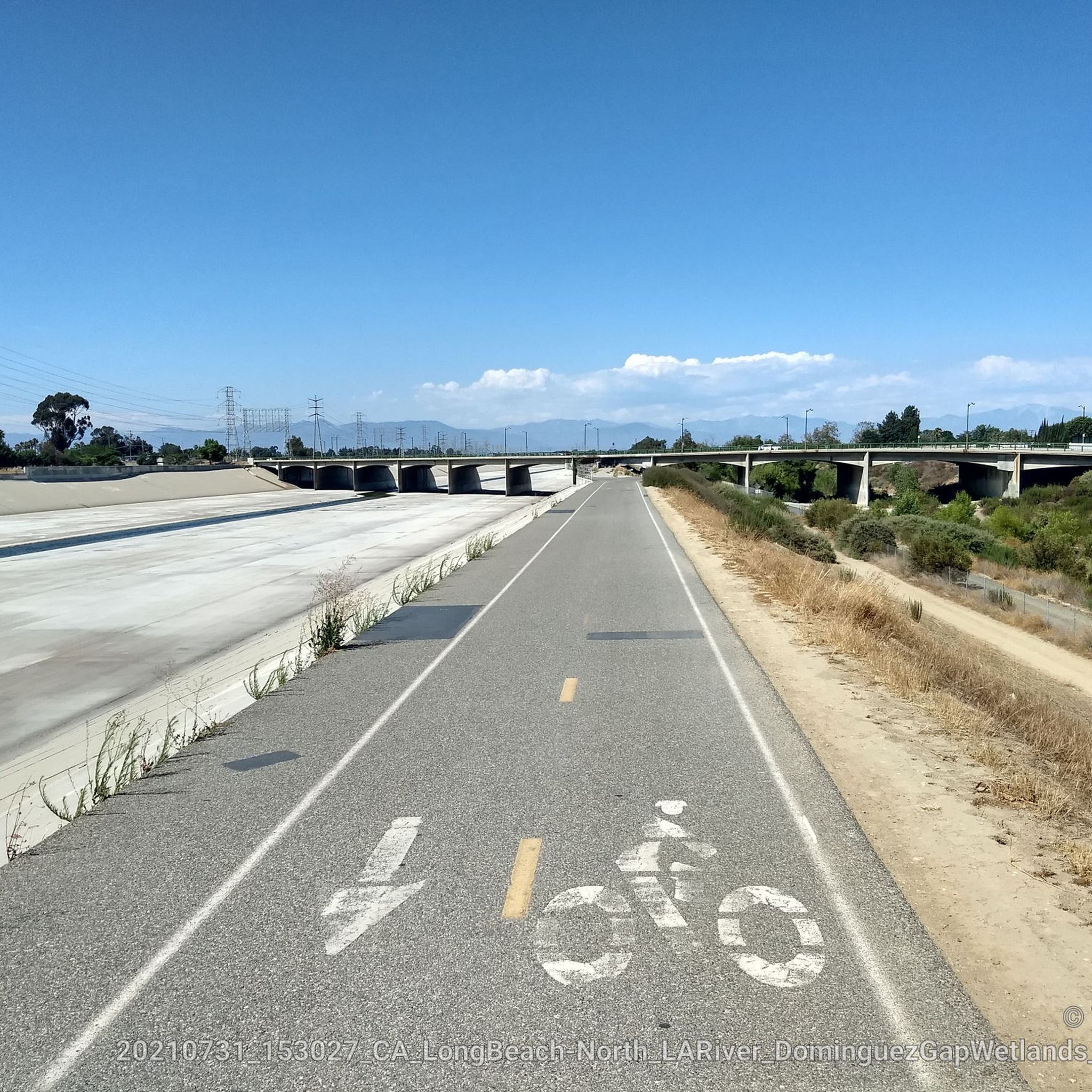
The San Gabriel River is one of the best routes in the entire valley to bike safely without traffic on a dedicated trail from the hills through the sprawling downtown areas to the ocean. The trail runs on the river levee, mostly on the east bank. While the river is mostly a concrete canal, there are a few sections where it passes by parks like here the El Dorado, or private gardens and plant nurseries, adding a few touches of green in this huge metropolitan area that otherwise has few long, dedicated bike routes.
0
0
Very large public park along the river with a network of car-free bike trails and quiet park roads connecting several lakes, shady groves, and picnic facilities with restrooms and water.
0
0

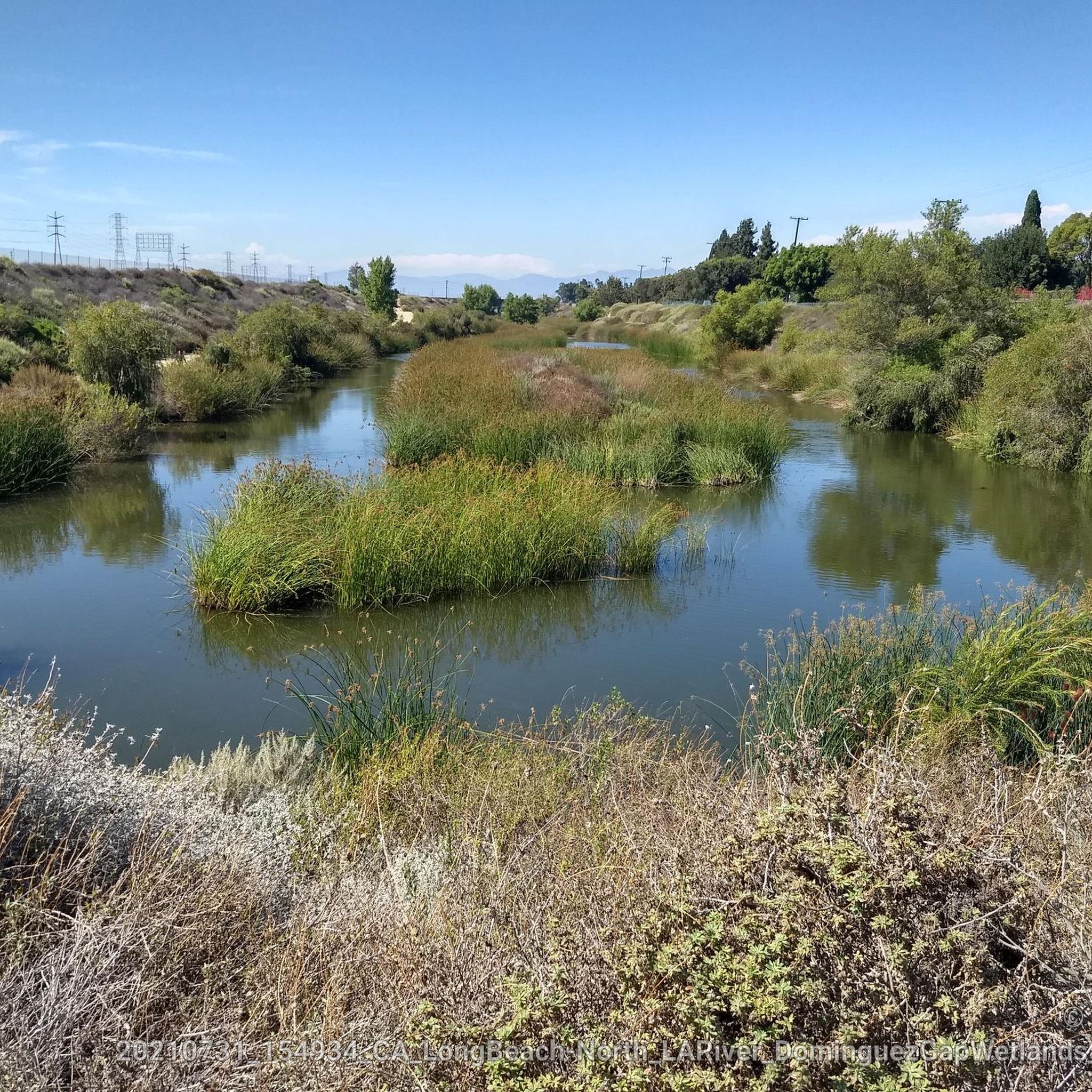
An area reclaimed with Southern California native plants that makes a nice respite from the surrounding suburbia.
0
0
Frequently Asked Questions
How many running routes are available in Bellflower?
Bellflower offers a diverse selection of over 30 running routes, catering to various skill levels. These routes are highly rated by the komoot community, with an average score of 5.0 stars.
Are there easy jogging routes suitable for beginners in Bellflower?
Yes, Bellflower's generally flat topography makes it ideal for beginners. There are 4 easy running routes available. Many parks, like Ruth R. Caruthers Park, offer dedicated fitness courses and well-maintained paths perfect for those starting out.
What kind of terrain can I expect on Bellflower's jogging trails?
The jogging trails in Bellflower are primarily characterized by a flat topography and well-maintained urban green spaces. You'll find accessible trails within the city's park system, often featuring paved paths and dedicated fitness courses, integrated into the urban environment.
Are there any running routes that are particularly scenic or pass by interesting landmarks?
While Bellflower is an urbanized area, its parks offer pleasant green spaces. For routes with scenic elements, consider paths along the San Gabriel River Trail or the Los Angeles River Greenway. You might also encounter features like the Rio Hondo Bike Bridge on some routes.
Can I find loop running routes in Bellflower?
Yes, many of Bellflower's running paths are designed as loops, offering convenient starting and ending points. For example, the West San Gabriel River Trail loop from Bixby Knolls is a popular choice, providing a scenic and accessible experience.
What are some of the best parks in Bellflower for a run?
Bellflower boasts several excellent parks for running. Ruth R. Caruthers Park features a two-mile fitness course and a 2.5-mile bike trail suitable for jogging. T. Mayne Thompson Park offers serene, lush trails, while John S. Simms Park includes walking trails and outdoor fitness areas. Riverview Park also provides ample walking trails for a good run.
Are there any longer, more challenging running routes in the Bellflower area?
For those seeking a greater challenge, Bellflower offers 9 difficult running routes. One such option is the Running loop from Lakewood Boulevard, which spans over 12 miles (19 km) and includes more elevation gain than other local routes.
What is the best time of year to go jogging in Bellflower?
Bellflower experiences a Mediterranean climate, characterized by warm, arid summers and cool, wet winters. This makes many days throughout the year suitable for outdoor exercise. Spring and fall generally offer the most pleasant temperatures for running.
Are there any running trails that are particularly suitable for families?
Many of Bellflower's park trails are family-friendly due to their flat, well-maintained surfaces. Parks like Ruth R. Caruthers Park and John S. Simms Park offer playgrounds and picnic areas alongside their running paths, making them great options for families to enjoy together.
Are there any dedicated bike paths in Bellflower that are also good for jogging?
Absolutely. The Bellflower Bike Trail, running for over two miles along the former Pacific Electric transit system right-of-way, is a paved and accessible surface perfect for jogging. The 91 Freeway Bike Path also offers a well-maintained route connecting Bellflower with neighboring cities, popular with both cyclists and runners.
What do other runners enjoy most about jogging in Bellflower?
The running routes in Bellflower are highly rated by the komoot community, with an average score of 5.0 stars from 7 reviews. Runners often praise the accessibility of the trails, the well-maintained park environments, and the generally flat terrain which makes for a consistent and enjoyable running experience.
Most popular routes around Bellflower
Most popular attractions around Bellflower

Get inspired with the komoot mobile app


Explore more
Browse the best Running Trails & Routes in other regions.
