The 20 Most Amazing Peaks around Walnut Creek
Best mountain peaks around Walnut Creek are characterized by a diverse landscape that includes prominent peaks, subsidiary summits, and extensive elevated open spaces. The region is dominated by Mount Diablo, a significant landmark offering panoramic views across the San Francisco Bay Area. These elevated areas provide a variety of recreational opportunities, from challenging climbs to accessible trails through natural habitats. The geological history of the area is evident in its formations and fossil discoveries, adding to its natural features.
Best mountain peaks around Walnut Creek
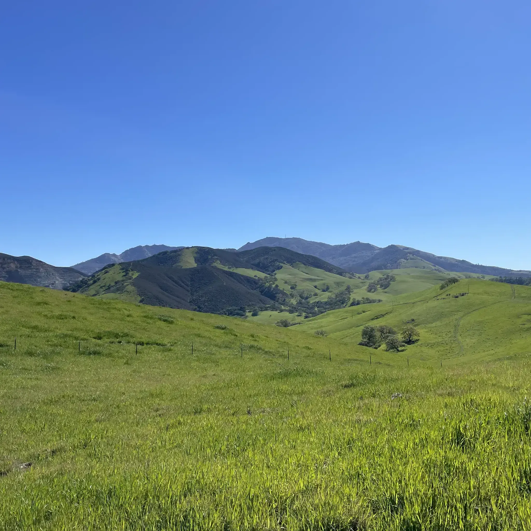
- The most popular mountain peak is Mount Diablo Summit, a summit that is the highest point in San Francisco's East Bay area. With an elevation of 3,849 feet, it offers extensive views of the Bay Area, the Santa Cruz Mountains, and on clear days, the Sierra Nevadas.
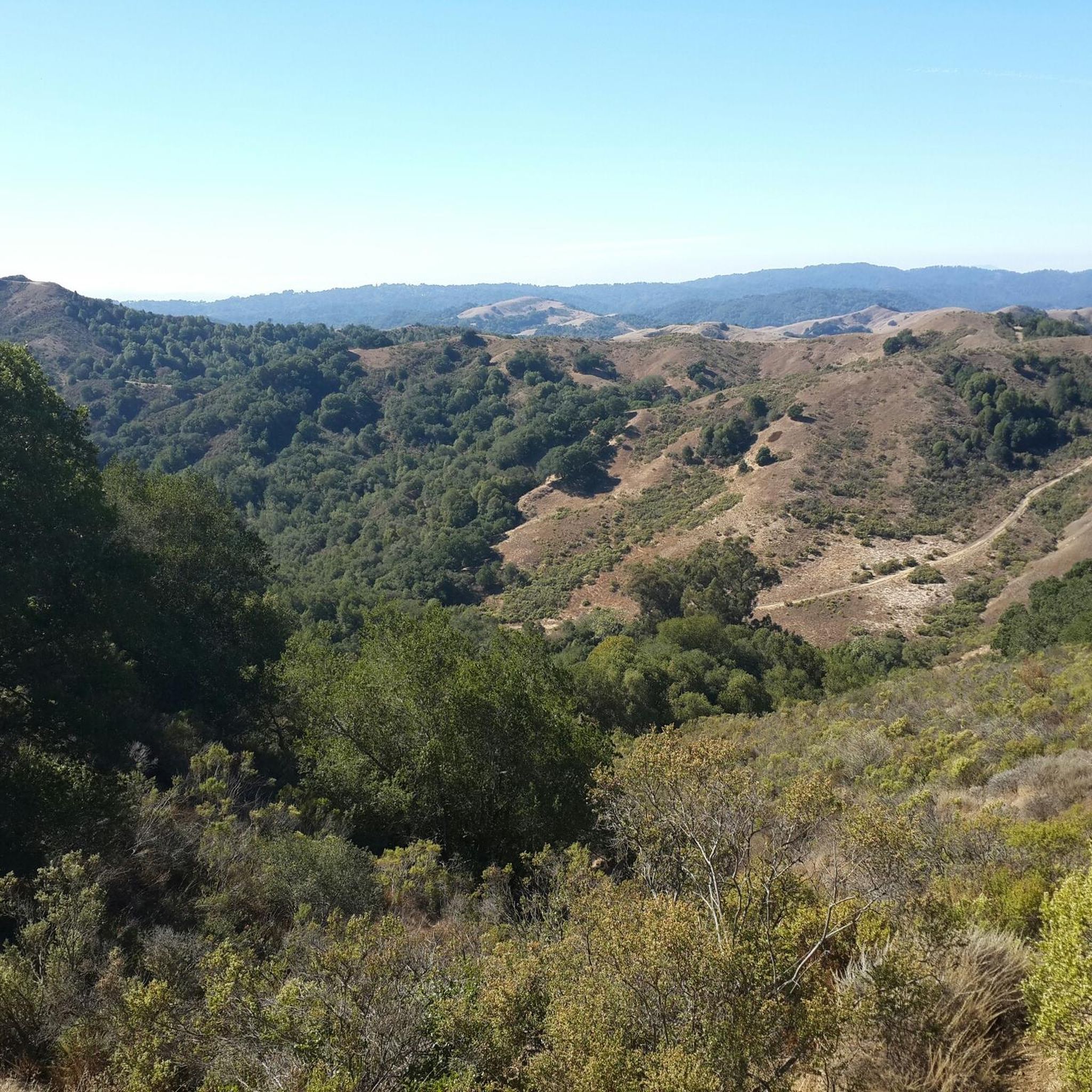
- Another must-see spot is Eagle Peak, a summit located in Mount Diablo State Park. This peak, with an elevation of 722 meters, provides views of the Bay Area and Mount Diablo itself.
- Visitors also love Rancho La Boca Summit - Alhambra Valley Road, a road summit that marks the highest point on Alhambra Valley Road. It features a steep climb and crosses between the Arroyo del Hambre and a northern watershed.
- Walnut Creek is known for its high peaks, subsidiary summits, and elevated open spaces. The region offers a variety of mountain peaks to see and explore, catering to different levels of hiking and outdoor activity.
- The mountain peaks around Walnut Creek are appreciated by the komoot community, with 68 upvotes and 45 photos shared by visitors.
Last updated: August 30, 2026
Mount Diablo Summit
Highlight • Summit
Check out my Juniper Trail tour for more pictures of the area: komoot.de/tour/4081148
Tip by

Eagle Peak
Highlight • Summit
Tip by

Sign up now to discover places like this
Get recommendations on the best single tracks, peaks, & plenty of other exciting outdoor places.
Sign up for free
Summit Trail
Highlight (Segment) • Trail
Tip by

Rancho La Boca Summit - Alhambra Valley Road
Highlight • Summit
Tip by
Twin Peaks
Highlight • Summit
Tip by
Sign up for free to discover even more peaks around Walnut Creek.
Sign up for free
Already have an account?
Start today with a free account
Your next adventure awaits.
Login or Signup

Tips from the Community

Mount Diablo, is the Bay Area second-highest peak at 1173m (3849ft). The challenging climb features constantly fluctuating gradients averaging 8%, with tough sections up to 18% and a brutal 23% finish in the last 200m. The equally demanding descent requires good bike handling due to tight corners, potholes, and strong winds. The road to the top is open daily from 8 AM till sunset.
0
0


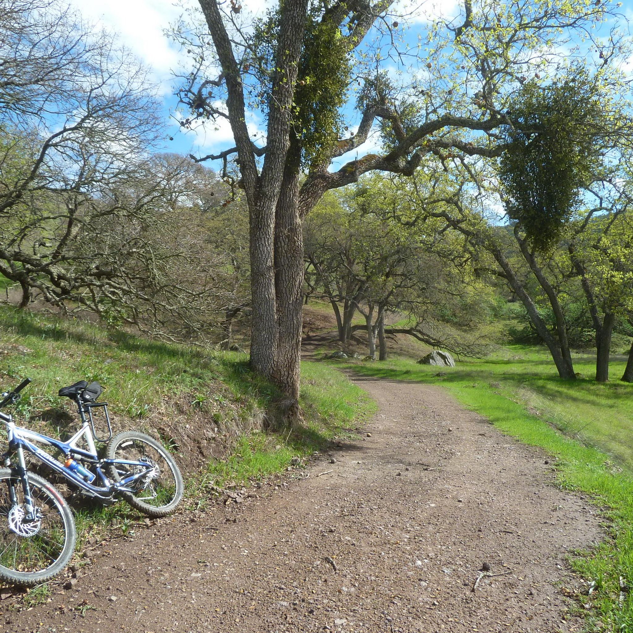
One of the fiercest peaks in the Bay. Always worth the effort. It’s often much cooler on the summit than the rest of the trails — there is a water spigot up there to fill up bottles. Also a store is open at some times. Don’t bank on it.
0
0

Twin Peaks in Mount Diablo State Park, not to be confused with the famous San Francisco landmarks, is a pair of prominent summits providing breathtaking vistas of the park's diverse landscapes.
0
0

Mount Diablo is 3,849 feet in elevation and is visible from most of the San Francisco Bay Area.
0
0

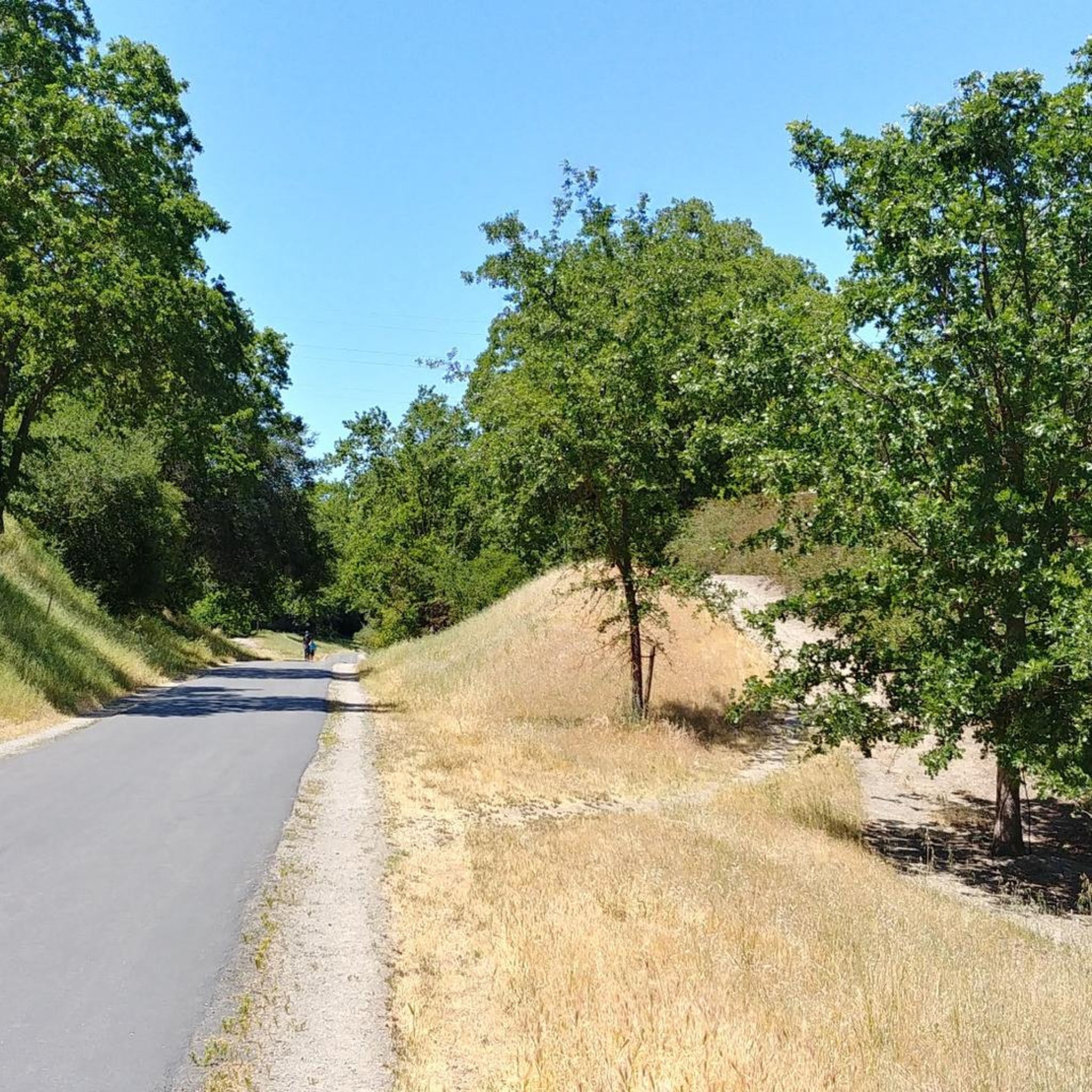
This trail provides access to the south face of Mount Diablo's summit. To the right, you will see the Mary Bowerman Trail that turns back into the Summit Trail if you want to reach the actual summit area. There is a restroom building and a summit building with an observation deck on the roof.
0
0

Mount Diablo is one of the highest peaks in the Bay area. The summit offers outstanding views that you will remember for a long time.
0
0

Walked a nice hike from Juniper Campground that passed below the summit. Then I drove up again and didn't regret it, because the view from the top is really great.
1
0
Frequently Asked Questions
What are some of the most prominent mountain peaks and elevated areas around Walnut Creek?
The most prominent peak is Mount Diablo Summit, which is the highest point in the East Bay. Other significant elevated areas include North Peak and Eagle Peak within Mount Diablo State Park, as well as open spaces like Sugarloaf Open Space, Shell Ridge Open Space, Lime Ridge Open Space, Acalanes Ridge Open Space, and Briones Peak in Briones Regional Park.
What kind of views can I expect from Mount Diablo Summit?
From Mount Diablo Summit, you can enjoy panoramic views extending up to 200 miles on clear days. These vistas encompass much of the San Francisco Bay Area, the Santa Cruz Mountains, the Central Valley, and even parts of the Sierra Nevada, Lassen Peak, and Yosemite National Park. The summit also features a historic stone building with an observation deck.
Are there family-friendly mountain peaks or trails suitable for all ages near Walnut Creek?
Yes, several areas offer family-friendly options. While Mount Diablo Summit is accessible by car, making its views available to all, Sugarloaf Open Space provides shorter, accessible hikes. Shell Ridge Open Space also has varied trails, some of which are suitable for families, and includes Borges Ranch, a historic cattle ranch.
What natural features and landmarks can I explore on these mountain peaks?
The region is rich in natural features. Mount Diablo State Park is home to diverse habitats with over 400 plant and animal species, including unique endemic plants. You can explore Rock City with its distinctive sandstone formations and small caves. Shell Ridge Open Space is notable for marine fossils, and Lime Ridge Open Space offers diverse plant communities and wildlife viewing, especially during wildflower season.
When is the best time to visit the mountain peaks around Walnut Creek for hiking and views?
The best time to visit is generally during spring (for wildflowers and lush green hills) and fall (for cooler temperatures and clear views). While summer can be hot, early mornings are pleasant. Winter offers unique experiences, but some trails might be muddy, and seasonal waterfalls are more prominent.
What are some challenging mountain climbs or trails for experienced hikers?
For a challenging experience, consider the paved road to Mount Diablo Summit, popular with cyclists, or the extensive network of trails within Mount Diablo State Park, which range from easy to strenuous. The North Peak Trail, also known as "Devil's Elbow" in sections, offers challenging hiking and mountain biking opportunities.
What outdoor activities can I do near these mountain peaks besides hiking?
Beyond hiking, the area offers extensive opportunities for mountain biking, road cycling, and horseback riding. You can find routes like the Ridge Top & Indian Creek Trail loop in Shell Ridge Open Space for hiking, or the Lamorinda Trail Loop for cycling. For gravel biking, consider the Curry Point – Mount Diablo Summit loop. You can find more details on these activities in the Hiking around Walnut Creek, Cycling around Walnut Creek, and Gravel biking around Walnut Creek guides.
Are there specific trails known for wildflowers near Walnut Creek's mountain peaks?
Yes, during springtime, areas like Lime Ridge Open Space are known for their vibrant wildflower displays. Mount Diablo State Park also boasts a diverse flora, including endemic species like the Mount Diablo fairy-lantern and Mount Diablo manzanita, which contribute to beautiful wildflower sightings.
Where can I find less strenuous, easier mountain trails for beginners near Walnut Creek?
For easier trails, Sugarloaf Open Space offers about 3 miles of trails suitable for short hikes. Shell Ridge Open Space also has various trails, including some with moderate difficulty like the Summit Ridge & Indian Creek Trails loop. Acalanes Ridge Open Space features the Acalanes Ridge Trail, which is considered an easy hike with rewarding views.
What do visitors enjoy most about the mountain peaks around Walnut Creek?
Visitors frequently praise the extensive panoramic views, especially from Mount Diablo Summit, which can stretch to the Sierra Nevadas on clear days. The diverse natural habitats, opportunities for challenging climbs, and the accessibility of many trails for various skill levels are also highly valued. The unique geological formations and seasonal wildflowers add to the appeal.
Can I access the Mount Diablo Summit by car, and what facilities are available there?
Yes, you can drive to the Mount Diablo Summit. At the summit, there is a historic stone building that houses a museum and an observation deck, offering shelter and interpretive information. Restroom facilities are also available near the summit area.
What is the significance of Shell Ridge Open Space?
Shell Ridge Open Space is the largest open space in Walnut Creek, covering 1,420 acres with 31 miles of trails. It is named for the marine fossils found there, which are evidence of ancient ocean waters. It offers extensive opportunities for hiking, biking, and horseback riding, and includes the historic Borges Ranch.
Are there any other notable summits or viewpoints within Mount Diablo State Park?
Beyond the main summit, Eagle Peak and North Peak are significant summits within Mount Diablo State Park, offering alternative perspectives and challenging trails. Twin Peaks also provides breathtaking vistas of the park's diverse landscapes.
Most popular routes around Walnut Creek
Most popular attractions around Walnut Creek

Get inspired with the komoot mobile app


Explore more
See even more amazing summits around Walnut Creek with these guides:
