The best cycling routes around American Canyon
4.4
(8)
214
riders
22
rides
Touring cycling routes around American Canyon traverse a diverse landscape, from picturesque vineyards and serene wetlands to rolling hills and oak woodlands. The region, situated at the southern gateway to Napa Valley, offers panoramic views of the valley and the Carquinez Strait. Terrain varies from accessible paved paths to routes with significant elevation gains, catering to different skill levels. This area provides a blend of natural beauty and varied cycling experiences.
Best touring cycling routes around American Canyon
- The most…
Last updated: September 27, 2026
30.1km
01:55
340m
340m
Cycle the Vallejo to Sulphur Springs loop via Napa Valley Vine Trail for diverse scenery, vineyards, and panoramic views over 18.7 miles.
53
riders
28.5km
02:55
710m
710m
Hard bike ride. Very good fitness required. Mostly paved surfaces. Suitable for all skill levels.

5.0
(1)
19
riders
Moderate bike ride. Good fitness required. Mostly paved surfaces. Suitable for all skill levels.
12
riders
Easy bike ride. Great for any fitness level. Mostly paved surfaces. Suitable for all skill levels.
3.0
(1)
15
riders
9.35km
01:02
250m
250m
Moderate bike ride. Good fitness required. Mostly paved surfaces. Suitable for all skill levels.
Get access to more routes and recommendations from other explorers.
Already have an account?
Our route recommendations are based on thousands of hikes, rides, and runs completed by other people on komoot.
Start today with a free account
Your next adventure awaits.
Tips from the Community

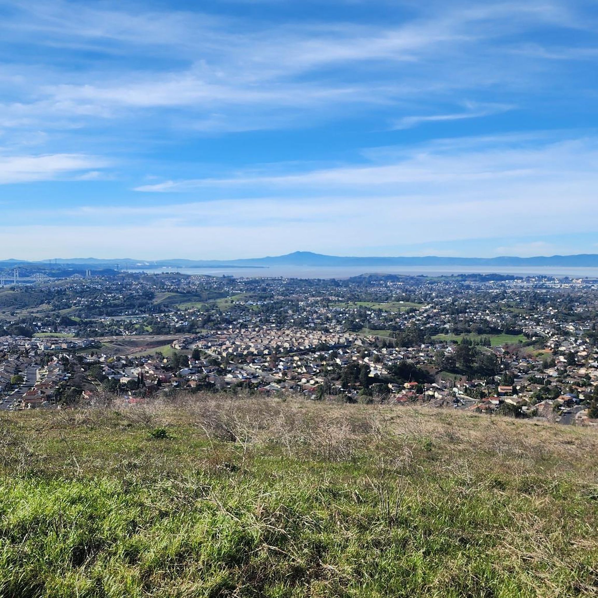
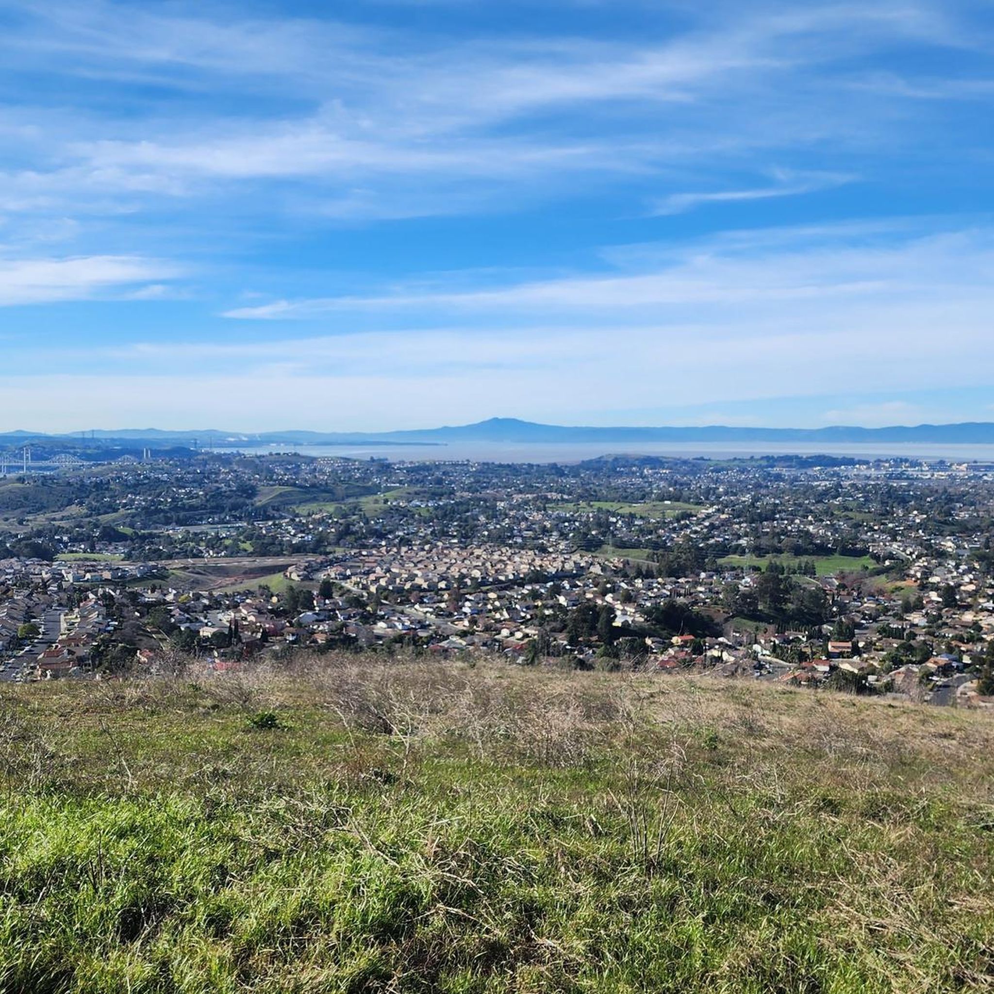
Great views however quite technical in areas.
0
0

From here you can take the Hiddenbrooke Trail toward Sulphur Springs Mountain and beyond. You can use this as an out and back trail or continue into Hiddenbrooke and return along the road.
0
0

This is the historic core of Martinez, still showing carefully preserved traces from its early days of being a gold rush and shipping boom town — basically, a trading center for early settlers in this area.
0
0

The Benicia Arsenal was established in 1849 on 345 acres of land east of the City and adjacent to the Carquinez Strait. The area was developed over a century of active military use with a variety of facility types including administrative and office buildings, storehouses, shops and residential quarters, as well as a hospital and port. In addition to the frame, brick, and stone structures built in the area between 1854 and 1911, many newer buildings were constructed during World War II. The Arsenal was deactivated in 1964 and the Defense Department transferred ownership to the City of Benicia in 1965. Today, the City retains ownership of several of the most historically significant structures, including the Commanding Officer's Quarters, the Clocktower building, the "Camel Barns", and one of the original powder magazines. The Arsenal is now characterized by older historic buildings, as well as studios, small professional offices, commercial and light industrial activities.
0
0
Built as home and office of Dr. John S. Moore in 1890. Known as the Borland House after 1900 when Moore’s daughter Emma and her husband, James H. Borland, owned it. Rented to businesses including a palm reader, in the 1930s. Acquired by the Contra Costa Community College District in 1948 and used for administrative offices until 1973. Became the Museum of the Martinez Historical Society in June of 1976. Housed in a small wooden Victorian, this charming little museum offers a collection of historical artifacts and photographs of old Martinez. It serves as a wonderful tribute to the town's history and its main industries, making it a fantastic place to explore and learn about the community's heritage. Excellent information on walking tours and city monuments on https://martinezhistory.org/tours/walking-tour
1
0

The Benicia-Martinez Bridge Trail offers a unique ride across the Carquinez Strait with dedicated bike and pedestrian lanes. It’s a smooth, paved path with great views of the water and passing ships. A solid link between Benicia and Martinez, especially if you’re piecing together a longer Bay Area loop.
1
1

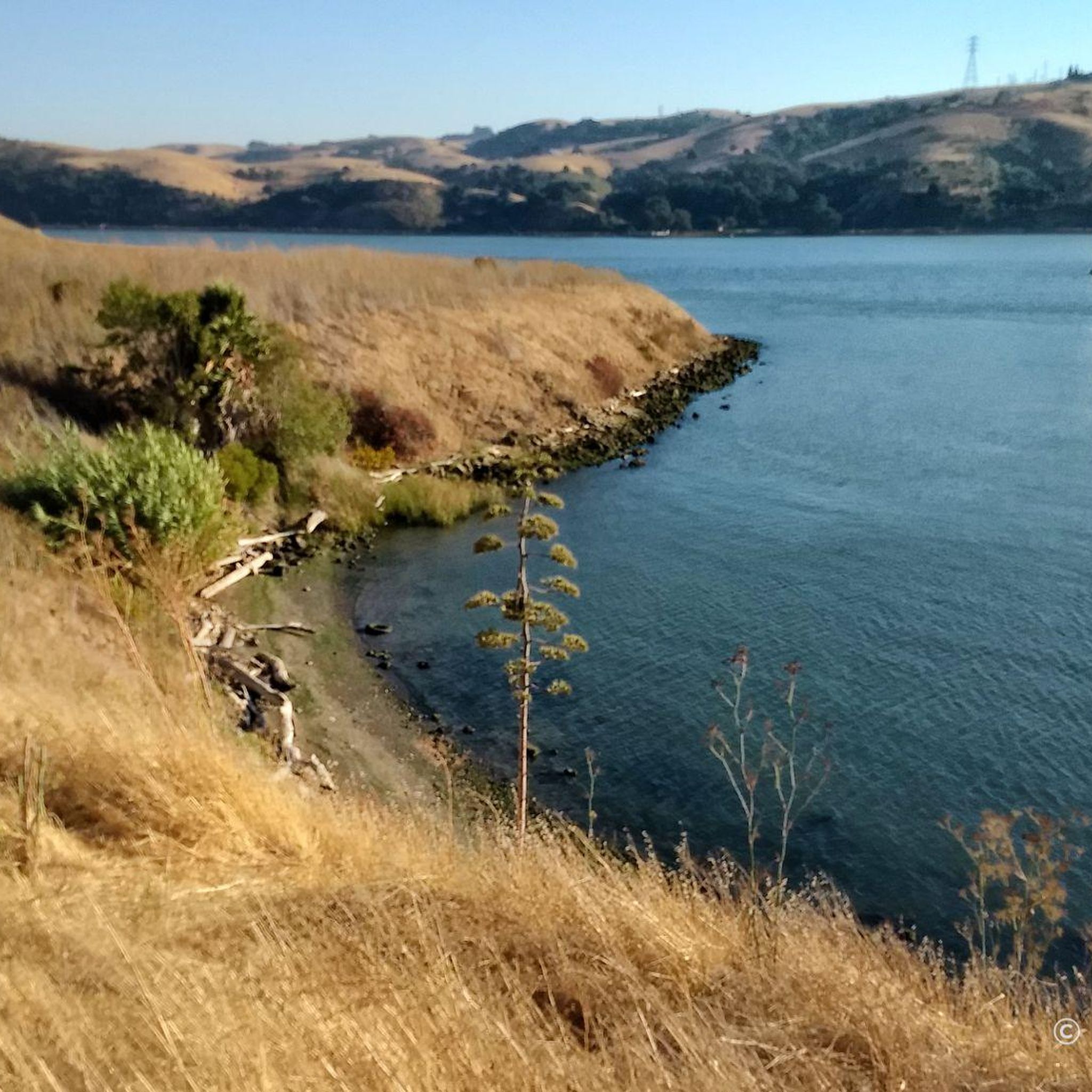
The Napa River Trail is a flat, 4.5 mile path that follows the river with the same name. It is a popular path, so there is a good chance you will see others out enjoying their time on the trail.
0
0

This charming little museum offers a collection of historical artifacts and photographs of old Martinez. It serves as a wonderful tribute to the town's history and its main industries, making it a fantastic place to explore and learn about the community's heritage.
0
0
Frequently Asked Questions
How many touring cycling routes are available around American Canyon?
Based on komoot data, there are over 19 touring cycling routes around American Canyon, offering a variety of experiences for different skill levels.
Are there easy or family-friendly touring cycling routes in American Canyon?
Yes, American Canyon offers several easy, paved paths suitable for beginners and families. For instance, the Napa Valley Vine Trail – Napa Creek loop from Napa Valley College is an easy 9.6-mile route that takes you through wetlands and along the Napa River. Parts of the Napa Valley Vine Trail and Wetlands Edge Park also provide accessible paths.
What options are there for experienced touring cyclists seeking a challenge?
For advanced touring cyclists, routes with significant elevation gains are available. The Lake Marie – Skyline Ridge Trail loop from Napa Valley College is a difficult 17.6-mile path featuring substantial climbs and panoramic views. Another challenging option is the Napa vineyards loop from Napa Valley College, which covers over 34 miles with considerable elevation changes.
Can I find circular touring cycling routes in the American Canyon area?
Yes, there are several excellent loop routes for touring cyclists. A popular choice is the Vallejo to Sulphur Springs loop via Napa Valley Vine Trail, which is a moderate 18.7-mile route winding through diverse scenery and vineyards. Another option is the Benicia Arsenal – Benicia Bridges Vista Point loop from Rollingwood Drive & Baywood Drive, offering bay views.
What kind of scenery can I expect on touring cycling routes around American Canyon?
Touring cycling routes around American Canyon offer diverse scenery, from picturesque vineyards and serene wetlands to rolling hills and oak woodlands. You can expect panoramic views of the Napa Valley and the Carquinez Strait, especially on routes like the Benicia-Martinez Bridge Trail.
Are there any notable landmarks or attractions along the cycling routes?
Yes, several points of interest can be found near or along the routes. You might encounter the impressive Carquinez Bridge, explore parts of the Napa River Trail, or enjoy the views from Skyline Ridge Trail. The region also features wetlands and wildlife preserves, offering opportunities for bird-watching.
What is the best time of year for touring cycling in American Canyon?
American Canyon offers pleasant cycling conditions for much of the year. While specific weather conditions can vary, the region generally enjoys mild temperatures, making spring and fall particularly ideal for touring cycling when the vineyards are vibrant or changing colors, and the weather is comfortable.
What do other touring cyclists enjoy most about cycling in American Canyon?
The touring cycling routes in American Canyon are highly rated by the komoot community, with an average score of 4.5 stars from over 5 reviews. Reviewers often praise the diverse landscapes, from vineyards to wetlands, and the variety of routes catering to different skill levels, as well as the scenic views of the Napa Valley and Carquinez Strait.
Are there opportunities for wildlife spotting on the touring cycling routes?
Yes, American Canyon boasts significant wetlands and wildlife preserves, such as the American Canyon Wetlands Trail and Wetlands Edge Park. These areas offer scenic and easy rides through vibrant ecosystems, making them ideal for bird-watching and spotting local wildlife.
Is there public transport access to the touring cycling routes in American Canyon?
While specific public transport options directly to every trailhead may vary, American Canyon's location as the southern gateway to Napa Valley means there are regional transport services that can get you close to the area. It's advisable to check local bus schedules or regional transit options for the most up-to-date information on accessing specific starting points.
Where can I find parking for touring cycling routes in American Canyon?
Many popular cycling routes and parks in American Canyon, such as those near Napa Valley College or Wetlands Edge Park, offer designated parking areas for visitors. It's recommended to check the specific route details or park information for the most convenient parking locations.
Are there places to eat or drink near the cycling trails?
As the southern entry point to Napa Valley, American Canyon provides easy access to world-class wineries and culinary experiences. Many routes, especially those connecting to the Napa Valley Vine Trail, will bring you close to towns and areas with cafes, restaurants, and wineries where you can refuel and relax.
Most popular attractions around American Canyon

Get inspired with the komoot mobile app


Explore more
Browse the best Cycling routes in other regions.
