The best road cycling routes around Clovis
4.6
(7)
485
riders
31
rides
Road cycling routes around Clovis, California, traverse the flat expanse of the Central Valley, offering views of the distant Sierra Nevada mountains. The region features an extensive network of paved trails, many following canals and creeks, providing varied urban and natural cycling experiences. Routes often wind along the bluffs of the San Joaquin River and extend into the Sierra Nevada foothills for more challenging rides.
Best road cycling routes around Clovis
- The most popular road cycling route is Old Town…
Last updated: September 27, 2026
3
riders
165km
07:51
2,010m
2,010m
Cycle the difficult 102.6-mile Bass Lake loop through Sierra National Forest, gaining 6602 feet of elevation with scenic lake views.
130km
06:50
2,240m
2,240m
Challenge yourself on the 80.9-mile (130.2 km) Shaver Lake via Tollhouse Road cycling route, featuring 7349 feet of climbing and Sierra view

40
riders
43.1km
01:55
100m
100m
Easy road ride. Great for any fitness level. Mostly well-paved surfaces and easy to ride.
43
riders
42.0km
01:48
130m
130m
Easy road ride. Great for any fitness level. Mostly well-paved surfaces and easy to ride.
28
riders
Moderate road ride. Good fitness required. Mostly well-paved surfaces and easy to ride.
Get access to more routes and recommendations from other explorers.
Already have an account?
Our route recommendations are based on thousands of hikes, rides, and runs completed by other people on komoot.
Start today with a free account
Your next adventure awaits.
Popular around Clovis
Tips from the Community

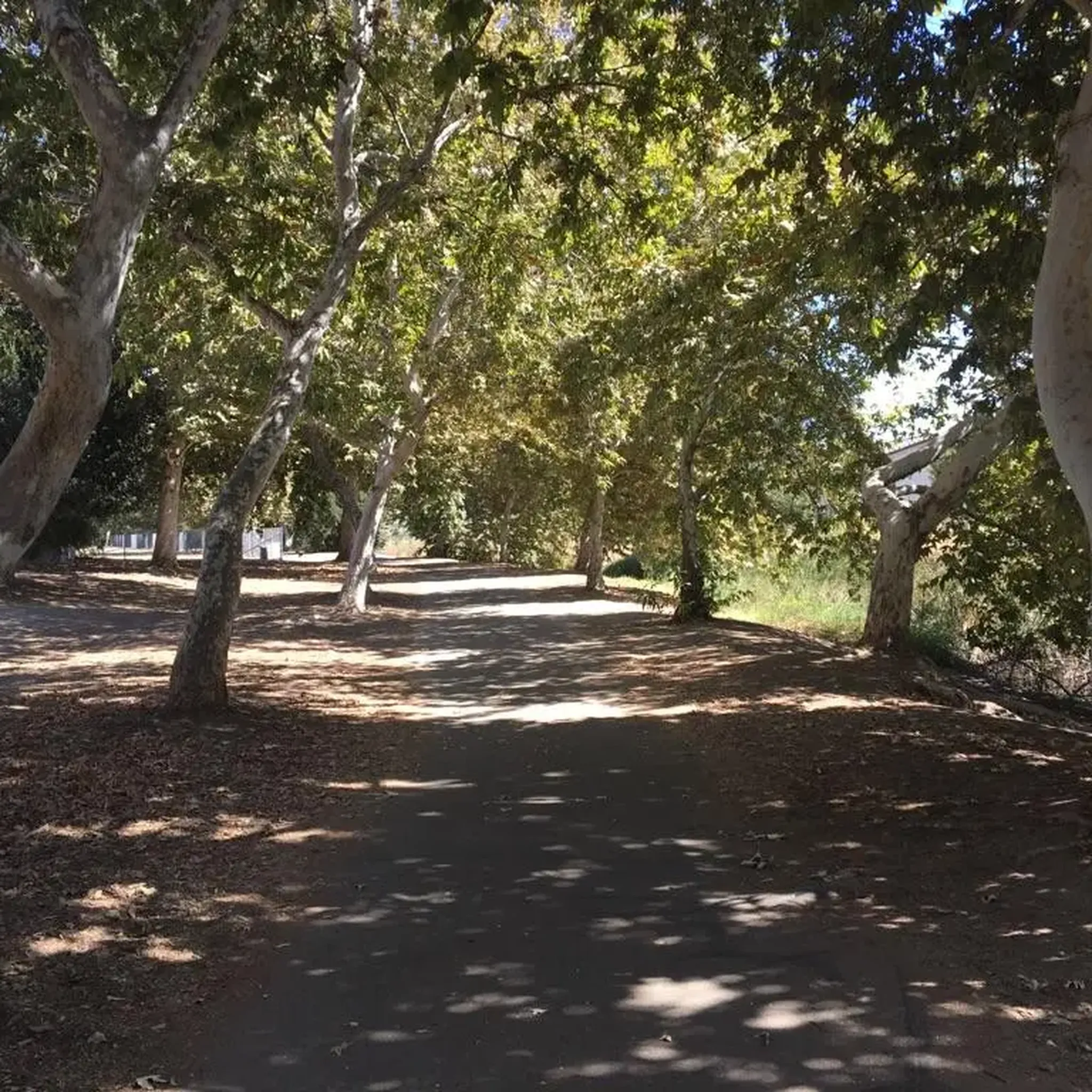
The Lewis S. Eaton Bike Trail is a popular multi-use trail that runs through Fresno. It is very popular with runners, walkers and cyclists, so there is a good chance that you will encounter others out on the trail.
0
0

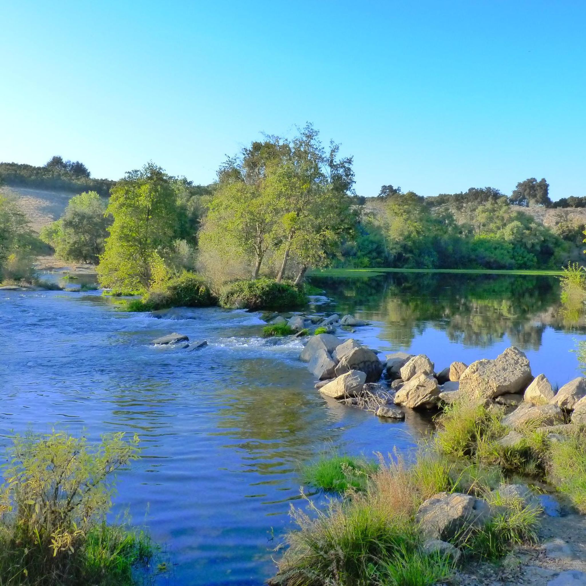
The Parkway Trust/Caglia is part of the San Joaquin River Parkway and Conservation Trust, which has the Lewis S. Eaton Bike Trail in the east. The San Joaquin River runs to the west side of this green space as well.
0
0
The Lewis S. Eaton Bike Trail is a 5-mile paved bike path that runs through Woodward Park. It is a great place for a traffic free bike ride with the family.
0
0

Just 1 hour from Fresno and nestled amongst the pines of the Sierra National Forest, Shaver Lake is a popular year-round destination. The area draws outdoor enthusiasts of all stripes, including, but not limited to, boaters, swimmers, anglers, cyclists, and hikers. The lake got its start in 1893 when lumberjack C.B. Shave created a small mill pond by building a rock-fill dam.
0
0
Just 1 hour from Fresno and nestled amongst the pines of the Sierra National Forest, Shaver Lake is a popular year-round destination. The area draws outdoor enthusiasts of all stripes, including, but not limited, boaters, swimmers, anglers, cyclists, and hikers. The lake got its start in 1893 when lumberjack C.B. Shave created a small mill pond by building a rock-fill dam.
0
0
Are you in the mood for a grueling climb or an exhilarating downhill bomb? Depending on which way you tackle it Tollhouse Road, which for runs 71 miles between the central valley & Huntington Lake, can offer you some of the best riding the Sierra Nevada have to offer. With tight, hairpin turns and majestic views the entire way your efforts will be well rewarded.
2
0
Just 1 hour from Fresno and nestled amongst the pines of the Sierra National Forest, Shaver Lake is a popular year-round destination. The area draws outdoor enthusiasts of all stripes, including, but not limited, boaters, swimmers, anglers, cyclists, and hikers. The lake got its start in 1893 when lumberjack C.B. Shaver created a small mill pond by building a rock-fill dam.
1
0
The Dry Creek Path is a fully paved trail that follows Dry Creek. It is mostly flat and is an easy ride. It connects at its southern point to the Old Town Trail.
0
0
Frequently Asked Questions
How many road cycling routes are available around Clovis?
There are over 25 road cycling routes around Clovis, catering to various skill levels. These routes range from easy, flat rides through the Central Valley to challenging climbs into the Sierra Nevada foothills.
What kind of terrain can I expect on road cycling routes in Clovis?
Road cycling in Clovis offers diverse terrain. You'll find extensive paved trail networks, many following canals and creeks, providing mostly flat and scenic rides. Routes also wind along the bluffs of the San Joaquin River, and for those seeking a challenge, there are significant climbs into the Sierra Nevada foothills.
Are there family-friendly road cycling routes in Clovis?
Yes, Clovis has several family-friendly options, particularly on its extensive paved trail networks. The Old Town and Dry Creek Trail Loop is an easy, mostly flat route connecting two well-known paved trails, making it suitable for all ages. The Clovis Old Town Trail itself is traffic-free and nearly 6 miles long.
What are some scenic natural features or landmarks I can see while cycling in Clovis?
Many routes offer inspiring views of the distant Sierra Nevada mountains and wind along the San Joaquin River. You can also cycle through Woodward Park, which features its own network of trails, or along the peaceful Dry Creek Park. The Lewis S. Eaton Bike Trail is known for its scenic path along the river bluffs.
Are there challenging road cycling routes for experienced riders?
Absolutely. For experienced riders seeking significant elevation gain, routes extending into the Sierra Nevada foothills offer a considerable challenge. The Shaver Lake via Tollhouse Road is a difficult 80.9-mile route with over 2,200 meters of ascent, taking you through the foothills. Another demanding option is the Bass Lake loop, a 165 km route with over 2,000 meters of climbing.
What do other road cyclists enjoy most about cycling in Clovis?
The area is highly rated by the komoot community, with an average score of 4.7 stars. Reviewers often praise the extensive paved trail networks, the scenic views of the San Joaquin River and distant Sierra Nevada mountains, and the variety of routes available for different ability levels, from easy flat rides to challenging mountain climbs.
Are there any circular road cycling routes in Clovis?
Yes, many routes in Clovis are designed as loops. A popular example is the Old Town and Dry Creek Trail Loop, which combines two well-known paved trails for a convenient circular ride. Another is the Dry Creek Path – Millerton Lake loop from Glorietta, offering a moderate circular path to Millerton Lake.
What is the best time of year for road cycling in Clovis?
Clovis experiences hot summers, so spring and fall generally offer the most pleasant temperatures for road cycling. Winter can also be suitable, especially for routes in the Central Valley, though cooler temperatures and occasional rain should be expected. Always check local weather conditions before heading out.
Are there any routes that connect urban areas with natural attractions?
Yes, several routes effectively connect urban areas with natural attractions. For instance, the Dry Creek Path – Millerton Lake loop from Glorietta provides a moderate ride that links urban areas to the scenic Millerton Lake, a popular destination for outdoor recreation.
Where can I find parking for road cycling routes in Clovis?
Many of the popular trailheads and parks in Clovis, such as Woodward Park and access points to the Clovis Old Town Trail, offer designated parking areas for cyclists. It's advisable to check specific route details or park websites for the most convenient parking locations.
Are there any routes that offer views of lakes?
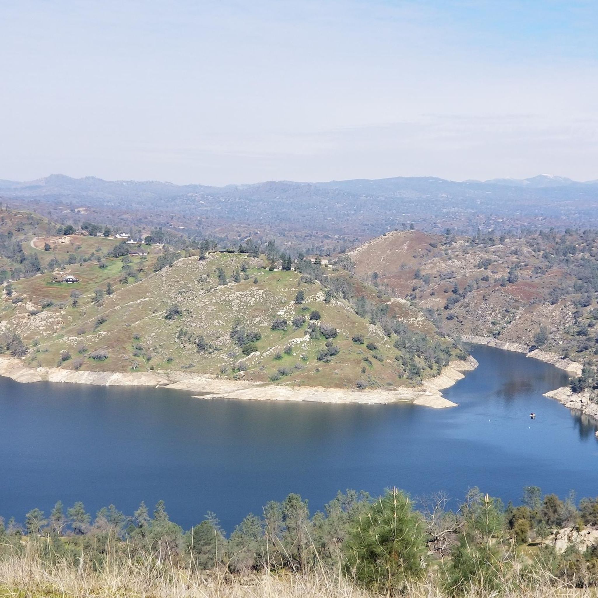
Yes, routes like the Dry Creek Path – Millerton Lake loop from Glorietta lead to Millerton Lake, providing scenic views of the lake and its surrounding landscape. For a more challenging ride, the Shaver Lake via Tollhouse Road takes you towards Shaver Lake in the Sierra Nevada foothills.
Most popular routes around Clovis
Most popular attractions around Clovis

Get inspired with the komoot mobile app


Explore more
Browse the best Road cycling routes in other regions.
