The best walks and hikes around Uphuser Meer
4.5
(1911)
8,316
hikers
436
hikes
Hiking around Uphuser Meer offers accessible trails around a freshwater lake in Ostfriesland, Germany. The lake is situated within the Riepster Hammrich region, characterized by its origin from ancient high moor troughs. Parts of the lake reach depths of up to 26 meters due to past sand extraction. The area features a tranquil natural setting with excellent water quality, interconnected with the broader East Frisian waterway network.
Best hiking trails around Uphuser Meer
- The most popular hiking route is Uphuser…
Last updated: August 31, 2026
4.0
(2)
10
hikers
4.91km
01:14
10m
10m
Easy hike. Great for any fitness level. Easily-accessible paths. Suitable for all skill levels.
3.5
(2)
6
hikers
3.54km
00:54
0m
0m
Easy hike. Great for any fitness level. Easily-accessible paths. Suitable for all skill levels.

Sign up for free
3.0
(6)
27
hikers
6.49km
01:38
10m
10m
Easy hike. Great for any fitness level. Easily-accessible paths. Suitable for all skill levels.
3.0
(6)
27
hikers
6.07km
01:32
10m
10m
Easy hike. Great for any fitness level. Easily-accessible paths. Suitable for all skill levels.
5.0
(1)
9
hikers
Moderate hike. Good fitness required. Easily-accessible paths. Suitable for all skill levels.
Get access to more routes and recommendations from other explorers.
Sign up for free
Already have an account?
Our route recommendations are based on thousands of hikes, rides, and runs completed by other people on komoot.
Start today with a free account
Your next adventure awaits.
Login or Signup
Tips from the Community

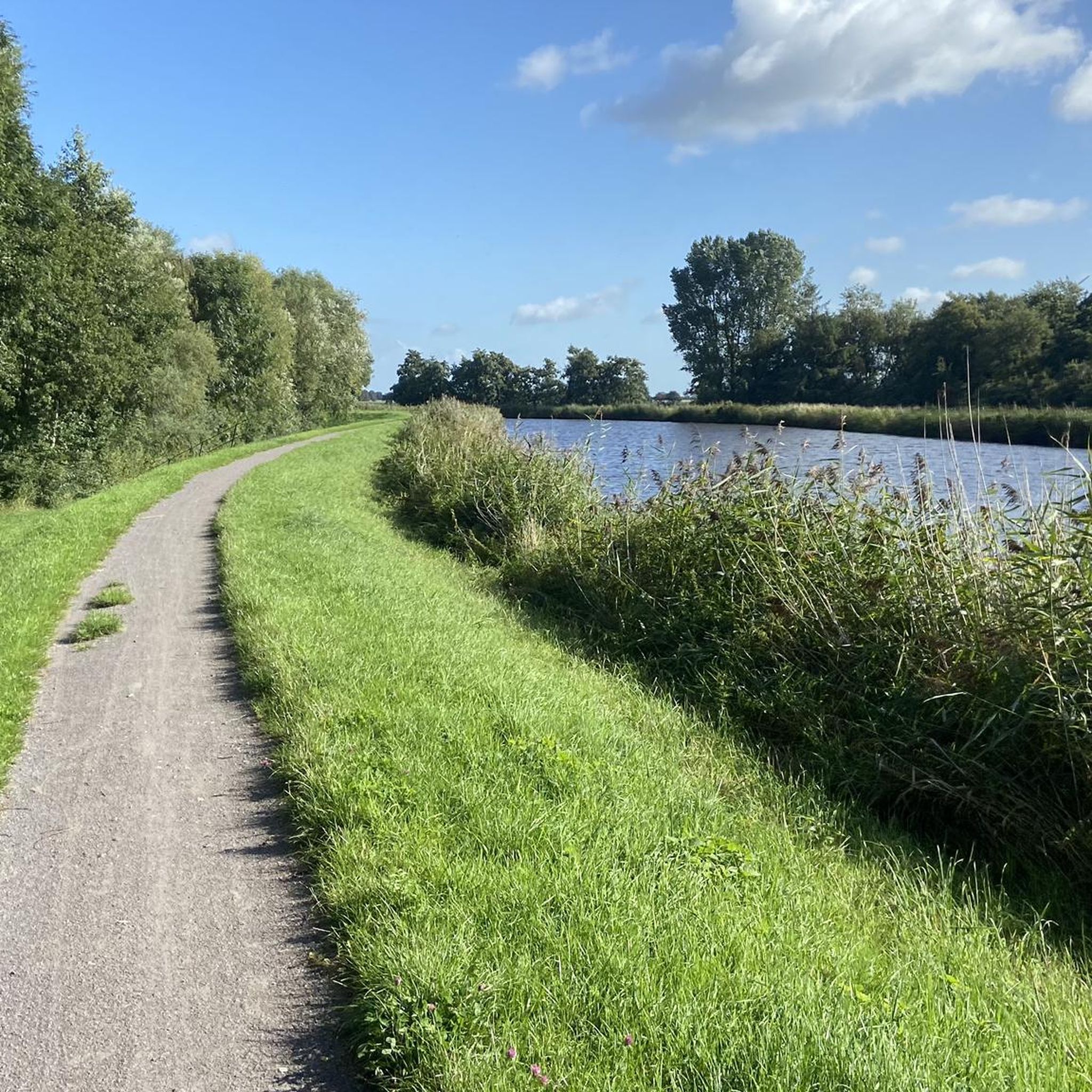
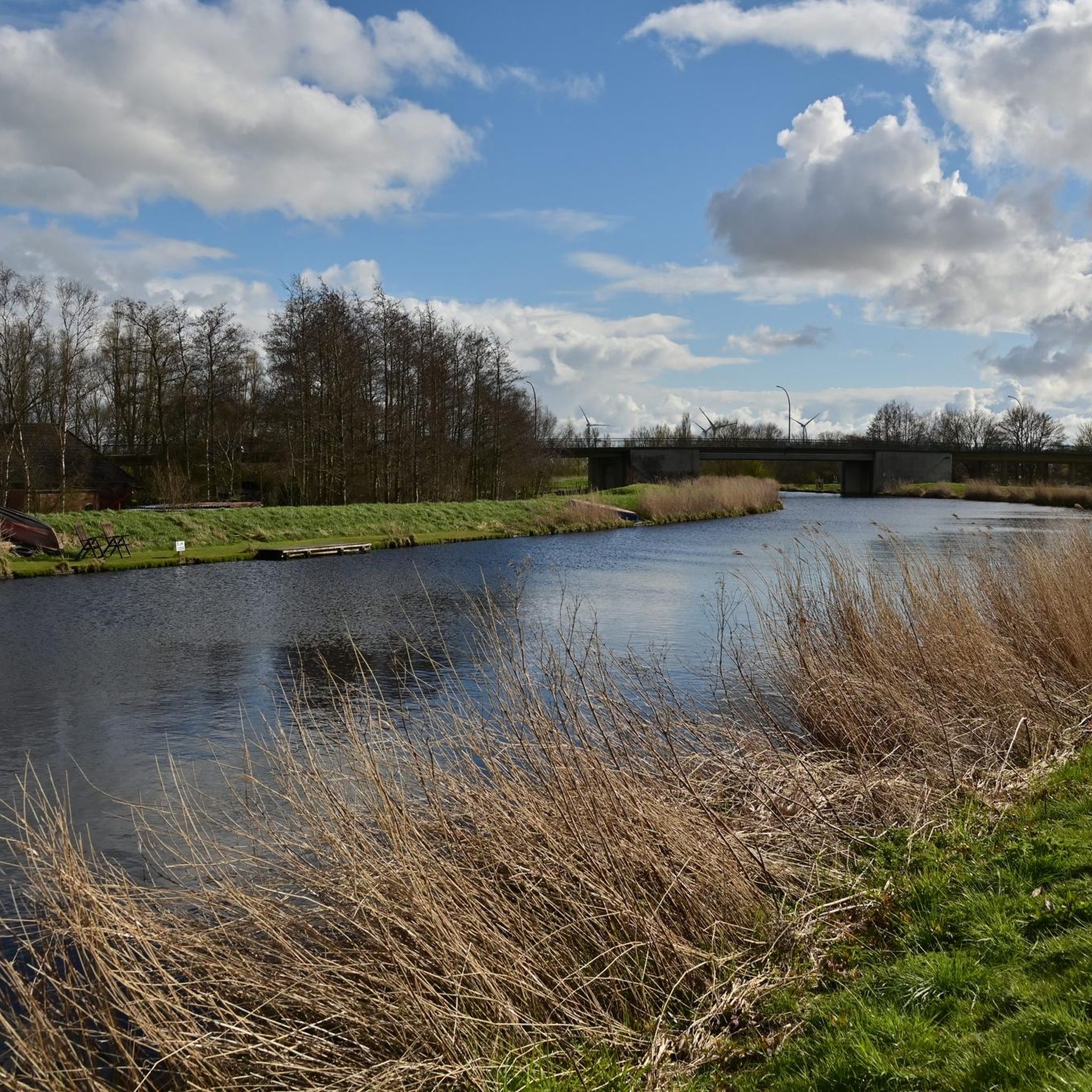
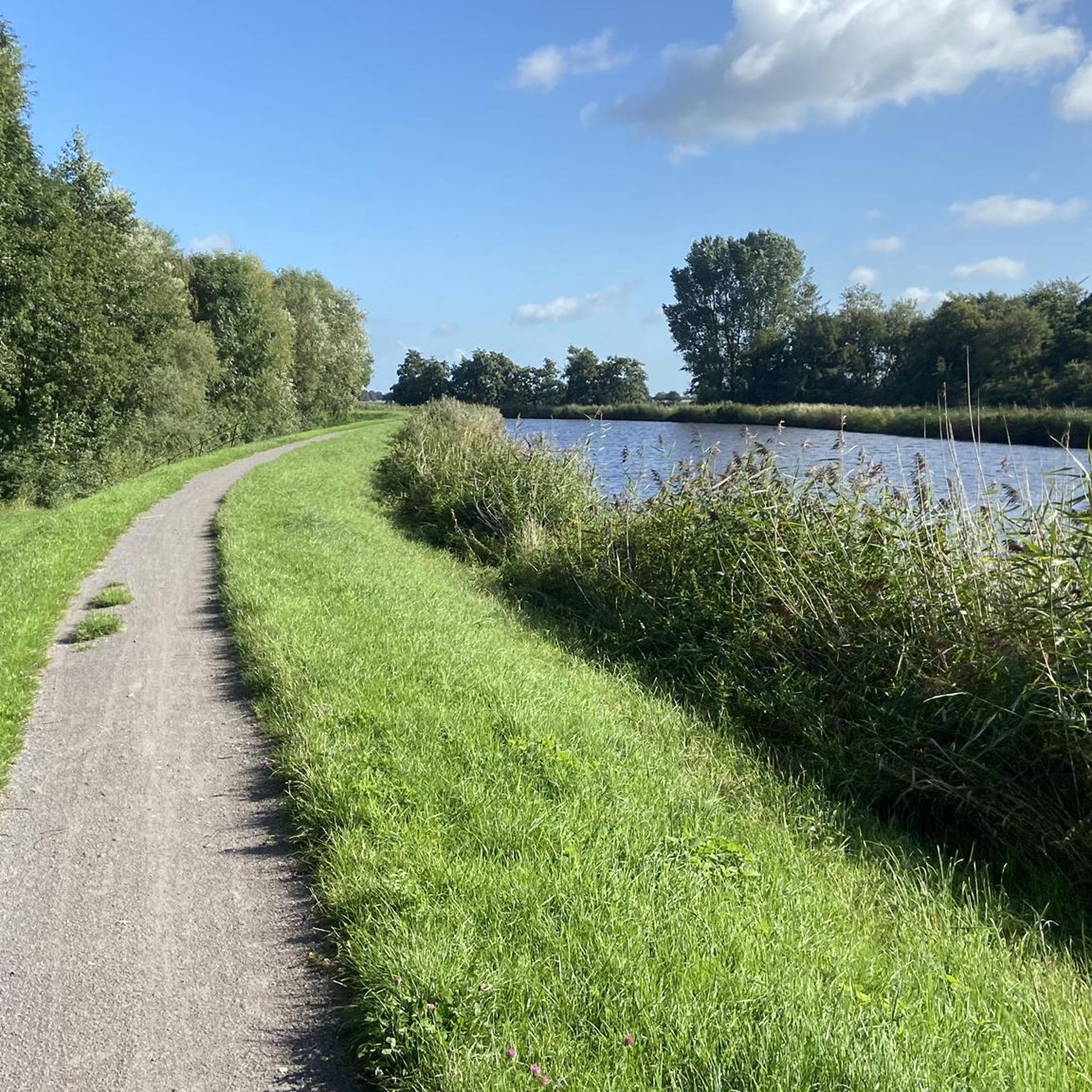
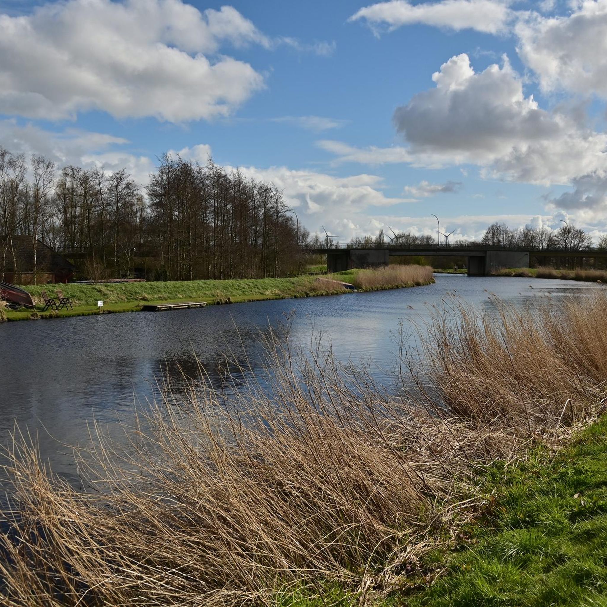
Well, the Ems-Jade Canal is about 70 km long. Here you are near the Uphuser Bridge. A solid, water-bound path.
0
0

Wonderful opportunity to take a beautiful tour along the water.
0
0

The Red Mill, a post mill, was built on the "Valdern Wall" in 1573. In 1574, the southern and northern mills31, the wheat mill and the yellow mill followed on the same wall. The Red Mill was also on the oldest city maps of Emden from 1572, 1576 and 1595. Voigt wrote: "The first documented occurrence of this mill is in the Emden contract protocols under XVII, 281 on March 13, 1584: Rote Valder Moele. Further information is available by clicking on the following link: https://www.neue-kirche.de/gemeindebezirk/rote-muehle.html
1
0

Very nice atmosphere especially in the morning 😃
2
0

The former mill is hardly recognizable today and is currently used as the home of a kindergarten. Nevertheless, it is still an interesting building
1
0

Unfortunately, you can't get to the Uphuser Meer because it's all private. The cycle path also goes a little way outside. But the brief glimpse of the sea shows what an idyllic place lies behind it.
3
0

Unfortunately, there is only one tower left, which makes it impossible to immediately identify the former mill. The mill was originally 25.40 meters high. There were no outbuildings before the fire in 1913.
1
0
The House at the Roten Siel – WJ Fisser is one of the oldest buildings still in its original appearance in the seaport town of Emden in East Frisia.
1
0
Frequently Asked Questions
How many hiking trails are available around Uphuser Meer?
There are over 400 hiking routes available around Uphuser Meer, catering to various preferences and fitness levels. This includes a wide selection of easy, moderate, and a few more challenging trails.
What is the typical terrain like for hiking around Uphuser Meer?
The terrain around Uphuser Meer is generally flat with gentle elevation changes, making it accessible for most hikers. The paths often follow the tranquil lakeside and extend into the broader Riepster Hammrich region, which features landscapes originating from ancient high moor troughs. You can expect well-maintained paths suitable for leisurely strolls.
Are there options for easy hikes around Uphuser Meer?
Yes, Uphuser Meer is well-suited for easy hikes. Over 300 of the available routes are classified as easy, offering accessible paths and minimal elevation gain. An example is the Hiking loop from Uphuser Meer, which is about 3 miles (4.9 km) long and takes just over an hour to complete.
What do other hikers say about the trails around Uphuser Meer?
The hiking trails around Uphuser Meer are highly rated by the komoot community, with an average score of 4.4 stars from over 1,700 reviews. Hikers often praise the tranquil natural setting, the excellent water quality of the lake, and the easily accessible paths that make for a pleasant outdoor experience.
What is the best time of year to go hiking at Uphuser Meer?
Uphuser Meer offers a welcoming environment for hiking throughout much of the year. Spring and autumn provide pleasant temperatures and beautiful scenery. While summer is popular, be aware that blue-green algae can occur in the lake during high temperatures. The paths are generally accessible, making it a good destination even in milder winter conditions.
Are there any circular hiking routes around Uphuser Meer?
Yes, circular routes are a popular option around Uphuser Meer. A well-liked choice is the Uphuser Meer loop from Kapellentief, an easy 4.0 miles (6.5 km) trail that offers a scenic circuit around the lake. Another option is the Uphuser Bridge – Uphuser Meer loop from Ev.-ref. Kirche Uphusen, which is about 3.8 miles (6.1 km).
Can I find family-friendly hiking trails near Uphuser Meer?
Absolutely. The gentle terrain and accessible paths around Uphuser Meer make it an ideal location for family-friendly hikes. Many of the easy routes are suitable for children, offering a chance to enjoy nature without strenuous climbs. The tranquil lakeside setting provides a safe and enjoyable environment for all ages.
Are dogs allowed on the hiking trails around Uphuser Meer?
Generally, dogs are welcome on the hiking trails around Uphuser Meer. However, it's always recommended to keep them on a leash, especially in nature protection areas or near other visitors and wildlife. Please ensure you clean up after your pet to maintain the natural beauty of the area.
Are there any interesting landmarks or natural features to see while hiking?
While hiking around Uphuser Meer, you can observe the lake itself, which originated from ancient high moor troughs and reaches depths of up to 26 meters in some parts. The west shore is a designated landscape protection area. You might also spot the tower of a historic former mill near the Uphuser Brücke, which stands as a point of interest for visitors.
Are there any longer or more challenging hikes available in the Uphuser Meer area?
While Uphuser Meer is known for its easy trails, there are options for longer, more moderate hikes that explore the wider region. For example, the Kesselschleuse, Emden – Ems Side Canal loop from Uphusen is a moderate 12.1 miles (19.5 km) route that takes you along the Ems Side Canal, offering varied scenery beyond the immediate lake area.
Is there public transport access to Uphuser Meer for hikers?
Uphuser Meer is a popular local recreational area, and while specific direct public transport routes to trailheads might vary, the region around Emden generally has public transport options. It's advisable to check local bus schedules to nearby villages like Uphusen or Marienwehr, from where you can often access the hiking network.
Are there facilities like cafes or restaurants near the hiking routes?
Uphuser Meer is a popular local spot, and while the immediate lakeside might be more residential, you can typically find cafes or restaurants in the nearby villages or in the larger town of Emden. These establishments offer opportunities for refreshments or a meal after your hike.
Most popular routes around Uphuser Meer

Get inspired with the komoot mobile app


