The best road cycling routes around Oakley
4.4
(72)
217
riders
29
rides
Road cycling around Oakley offers routes that traverse a landscape characterized by regional trails, reservoirs, and shorelines. The area features a mix of flat sections and moderate climbs, providing varied terrain for road cyclists. Routes often follow the contours of lakes and reservoirs, offering open views. This region provides a good balance of natural scenery and accessible paths for road cycling.
Best road cycling routes around Oakley
- The most popular road cycling route is Lake Alhambra/Byron loop, a 37.3 miles (59.9 km) trail that takes 2 hours 40 minutes to complete. This moderate route offers views of Lake Alhambra and the surrounding area.
- Another top favourite among local road cyclists is Los Vaqueros Reservoir – Kestrel Park loop from Arbor, a moderate 48.4 miles (77.9 km) path. This route features scenic stretches around Los Vaqueros Reservoir and through Kestrel Park.
- Local road cyclists also love the Los Vaqueros Reservoir loop from Canada Valley Road & McFarlan Ranch Way, a 35.2 miles (56.6 km) trail leading through reservoir landscapes, often completed in about 3 hours 5 minutes.
- Road cycling around Oakley is defined by regional trails, reservoirs, and shorelines. The network offers options for easy and moderate ability levels.
- The routes in Oakley are highly rated by the komoot community with an average score of 4.6 stars from over 20 reviews. More than 180 road cyclists have used komoot to explore Oakley's varied terrain.
Last updated: September 29, 2026
4.5
(2)
3
riders
60.0km
02:40
420m
420m
Moderate road ride. Good fitness required. Mostly well-paved surfaces and easy to ride.
5.0
(1)
29
riders
Moderate road ride. Good fitness required. Mostly well-paved surfaces and easy to ride.

14
riders
40.4km
02:12
240m
240m
Moderate road ride. Good fitness required. Mostly well-paved surfaces and easy to ride.
13
riders
56.1km
03:02
500m
500m
Moderate road ride. Good fitness required. Mostly well-paved surfaces and easy to ride.
15
riders
46.0km
02:10
410m
410m
Moderate road ride. Good fitness required. Mostly well-paved surfaces and easy to ride.
Get access to more routes and recommendations from other explorers.
Already have an account?
Our route recommendations are based on thousands of hikes, rides, and runs completed by other people on komoot.
Start today with a free account
Your next adventure awaits.

Tips from the Community

The Marsh Creek Regional Trail stretches about 6 miles through Contra Costa County, California. It meanders along the name-giving Marsh Creek and offers scenic views of wetlands, grasslands, and wooded areas. The paved trail is popular for walking, running, and cycling.
1
0

The excellent long distance trail is interrupted a few yards west from here by a road.
0
0
Neighborhood park along Marsh Creek at the Junction of several trails, Well equipped with fitness devices and playground. Picnic shelters and water make it a good place for a break
0
0

The lake offers some facilities to Los Vaqueros visitors, with fishing docks, a boat rental marina, and some beaches along it. This is a famous spot for fishing in northern California; here, you can find trout, catfish, and stripers, among other species of fish.
0
0

Lake Alhambra is an 18-acre lake located in the Lake Alhambra Estates neighborhood. The use of the lake is restricted to members of the Lake Alhambra Estates Homeowners Association members only.
0
0
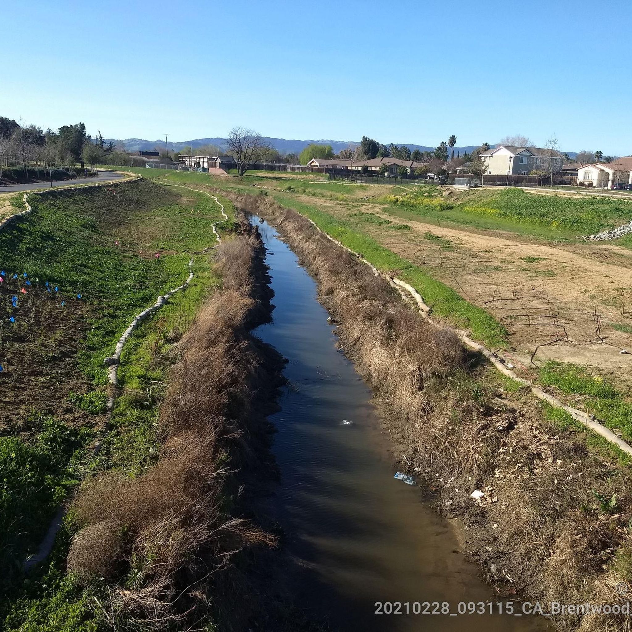
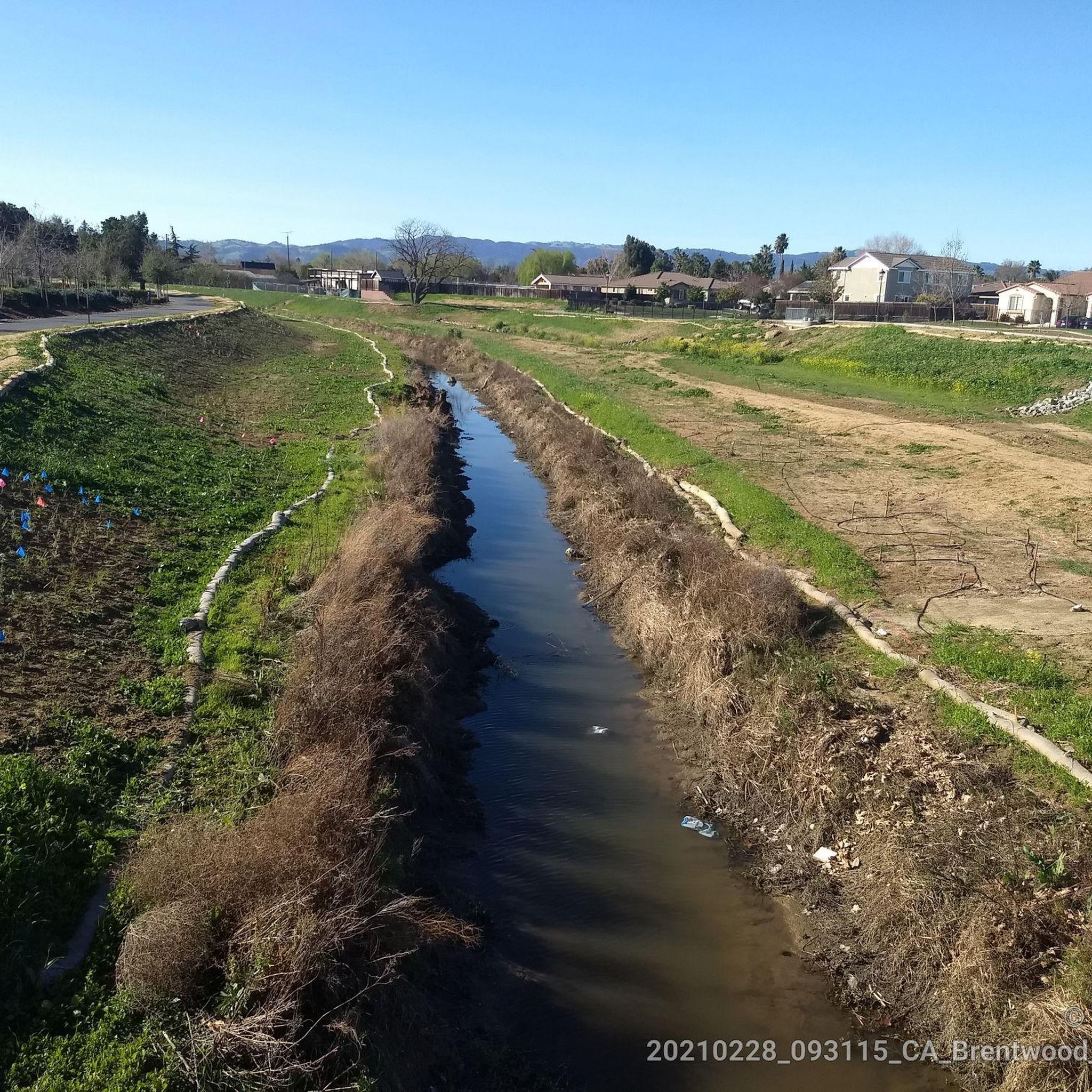
A nice neighborhood park is located next to Brentwood Creek, featuring a playground, picnic shelter, a basketball court, and walking trails.
0
0
Sadly the excellent paved car-free bike trail is interrupted here by a freeway for which they didn't build a bike bridge or underpass. Hope more people lobby to correct this to save lives by avoiding the busy road, and make biking more attractive.
0
0
This large park boasts beautiful lawns, benches, restrooms, water fountains, and shaded picnic tables that offer electrical power outlets. These outlets can be useful for recharging devices while taking a break during a long bike ride.
0
0
Frequently Asked Questions
How many road cycling routes are available around Oakley?
There are over 20 road cycling routes around Oakley, offering a variety of experiences for different skill levels. The region features a mix of flat sections and moderate climbs, traversing regional trails, reservoirs, and shorelines.
Are there easy or beginner-friendly road cycling routes in Oakley?
Yes, Oakley offers several easy road cycling routes. Out of the 22 available routes, 6 are classified as easy, making them suitable for beginners or those looking for a more relaxed ride. These routes often follow accessible paths with open views.
What is the typical length and duration of road cycling routes in Oakley?
The routes vary in length, but many popular options are between 35 to 48 miles (56 to 77 km). For example, the Lake Alhambra/Byron loop is 37.3 miles (59.9 km) and typically takes around 2 hours 40 minutes, while the Los Vaqueros Reservoir – Kestrel Park loop from Arbor is 48.4 miles (77.9 km) and takes approximately 3 hours 45 minutes.
Are there challenging road cycling routes or significant climbs in Oakley?
While Oakley's road cycling routes feature moderate climbs, there are no routes classified as 'difficult' in the area. The terrain provides a good balance, with some routes like the Los Vaqueros Reservoir loop from Canada Valley Road & McFarlan Ranch Way offering over 500 meters of elevation gain, providing a good workout without extreme difficulty.
What kind of scenery can I expect on road cycling routes around Oakley?
Road cycling around Oakley is characterized by regional trails, reservoirs, and shorelines. Routes often follow the contours of lakes and reservoirs, such as the Los Vaqueros Reservoir, offering open views and natural scenery. You can also expect stretches along regional trails like the Marsh Creek Regional Trail.
Are there any scenic loop routes for road cycling in Oakley?
Yes, many of the road cycling routes in Oakley are designed as scenic loops. Popular options include the Lake Alhambra/Byron loop and the Marsh Creek Regional Trail – Big Break Regional Shoreline loop from Brentwood, which offer circular journeys through varied landscapes.
What attractions or landmarks can I see along the road cycling routes in Oakley?
Many routes offer views of natural attractions. You can cycle past the Contra Loma Reservoir and the Big Break Regional Shoreline. Other points of interest include the Mokelumne Trailhead and the Contra-Costa Canal - Delta-DeAnza / Mokelumne Trail Jctn.
What do other road cyclists enjoy most about road cycling in Oakley?
The area is highly rated by the komoot community, with an average score of 4.6 stars from over 20 reviews. Road cyclists often praise the varied terrain, which offers a good balance of natural scenery and accessible paths, particularly around the reservoirs and regional trails.
Are there family-friendly road cycling options in Oakley?
While specific 'family-friendly' routes are not explicitly categorized, the presence of 6 easy routes and the general characteristic of accessible paths along regional trails and shorelines suggest that many routes could be suitable for families, depending on their cycling experience and the length desired.
Where can I find detailed maps for road cycling routes in Oakley?
Detailed maps and route information for all road cycling tours in Oakley are available on komoot. You can explore routes like the Marsh Creek Regional Trail – Big Break Regional Shoreline loop from Antioch directly on the platform, which provides GPX tracks, elevation profiles, and photos.
What is the best time of year for road cycling in Oakley?
Given the regional characteristics of reservoirs and shorelines, spring and fall generally offer pleasant temperatures for road cycling in Oakley. Summers can be warm, while winters are typically mild, allowing for year-round cycling, though conditions may vary.
Most popular attractions around Oakley

Get inspired with the komoot mobile app


Explore more
Browse the best Road cycling routes in other regions.
