The best walks and hikes around Citrus Heights
4.8
(12)
434
hikers
77
hikes
Hiking around Citrus Heights offers access to a network of trails within a primarily level topography, interspersed with green spaces and mature trees. The region is characterized by its proximity to the American River Parkway, providing scenic riparian habitats. Additionally, areas like the Dry Creek Greenway and local park preserves contribute to diverse outdoor experiences. This landscape provides accessible paths suitable for various fitness levels.
Best hiking trails around Citrus Heights
- The most popular hiking route is San Juan Rapids Trail, a 3.5 miles (5.6 km) trail that takes 1 hour 26 minutes to complete. This route offers an easy hike along the American River.
- Another top favourite among local hikers is Miner's Ravine Trail, an easy 1.1 miles (1.8 km) path. This trail follows Dry Creek, providing a pleasant and accessible hiking experience.
- Local hikers also love the Sailor Bar West and American River Loop, a 2.9 miles (4.7 km) trail leading through riparian habitat along the American River, often completed in about 1 hour 12 minutes.
- Hiking around Citrus Heights is defined by its level topography, green spaces, and access to river parkways and creek greenways. The network offers options for different ability levels, from easy walks to moderate trails.
- The routes in Citrus Heights are highly rated by the komoot community with an average score of 4.8 stars from over 13 reviews. More than 300 hikers have used komoot to explore Citrus Heights's varied terrain.
Last updated: October 11, 2026
14
hikers
5.59km
01:26
20m
20m
Embark on an easy hike along the San Juan Rapids Trail, a gentle route spanning 3.5 miles (5.6 km) with a minimal elevation gain of just 69 feet (21 metres). This pleasant journey, which you can complete in about 1 hour and 26 minutes, winds through lush woodlands alongside the American River. As you follow the path, you will enjoy clear views of the San Juan Rapids, a dynamic spot known for whitewater activities. The trail offers a serene atmosphere, perfect for a relaxing outdoor escape. It is an ideal choice if you are looking for a straightforward and accessible hiking experience.
To begin your adventure, head to Bannister Park where you will find convenient parking. The park offers free 3-hour parking specifically for trail users, making it easy to access the trailhead. Restrooms are also available within the park for your convenience before or after your hike. Be mindful that the trail conditions can become muddy following rainfall, so it is wise to check the weather and plan your visit accordingly. If you have a canine companion, feel free to bring them along, as the trail is dog friendly; just remember to keep them on a leash.
Beyond the scenic views, the trail offers glimpses into the area's natural history and wildlife. Keep an eye out for various bird species, such as hawks and herons, soaring above or wading by the riverbanks. You might even spot deer or river otters enjoying the riparian environment. The path also reveals interesting rock formations, which are remnants from historical hydraulic mining operations in the region. This blend of natural beauty and historical intrigue makes the San Juan Rapids Trail a unique local gem.
2.33km
00:35
0m
0m
Easy 1.4-mile loop through oak woodlands and wetlands at Stock Ranch Nature Preserve, perfect for a quick, accessible hike.

5.38km
01:22
10m
10m
Hiking the easy 3.3-mile American River Bike Trail offers gentle terrain and scenic river views in the American River Parkway.
1.81km
00:28
0m
10m
Hike the easy 1.1-mile Miner's Ravine Trail, gaining 4 feet in 27 minutes, with diverse scenery and wildlife along Dry Creek.
4.67km
01:12
30m
20m
Hike the easy 2.9-mile Sailor Bar West and American River Loop, exploring Gold Rush history and riverside nature in Fair Oaks.
Get access to more routes and recommendations from other explorers.
Already have an account?
Our route recommendations are based on thousands of hikes, rides, and runs completed by other people on komoot.
Start today with a free account
Your next adventure awaits.



Tips from the Community

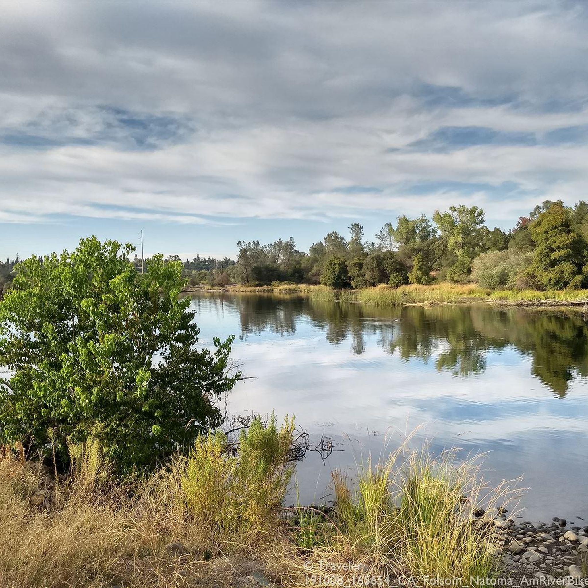
Small park with soccer goals and exercise appliances. Also with a parking lot, restrooms and a water dispenser.
0
0

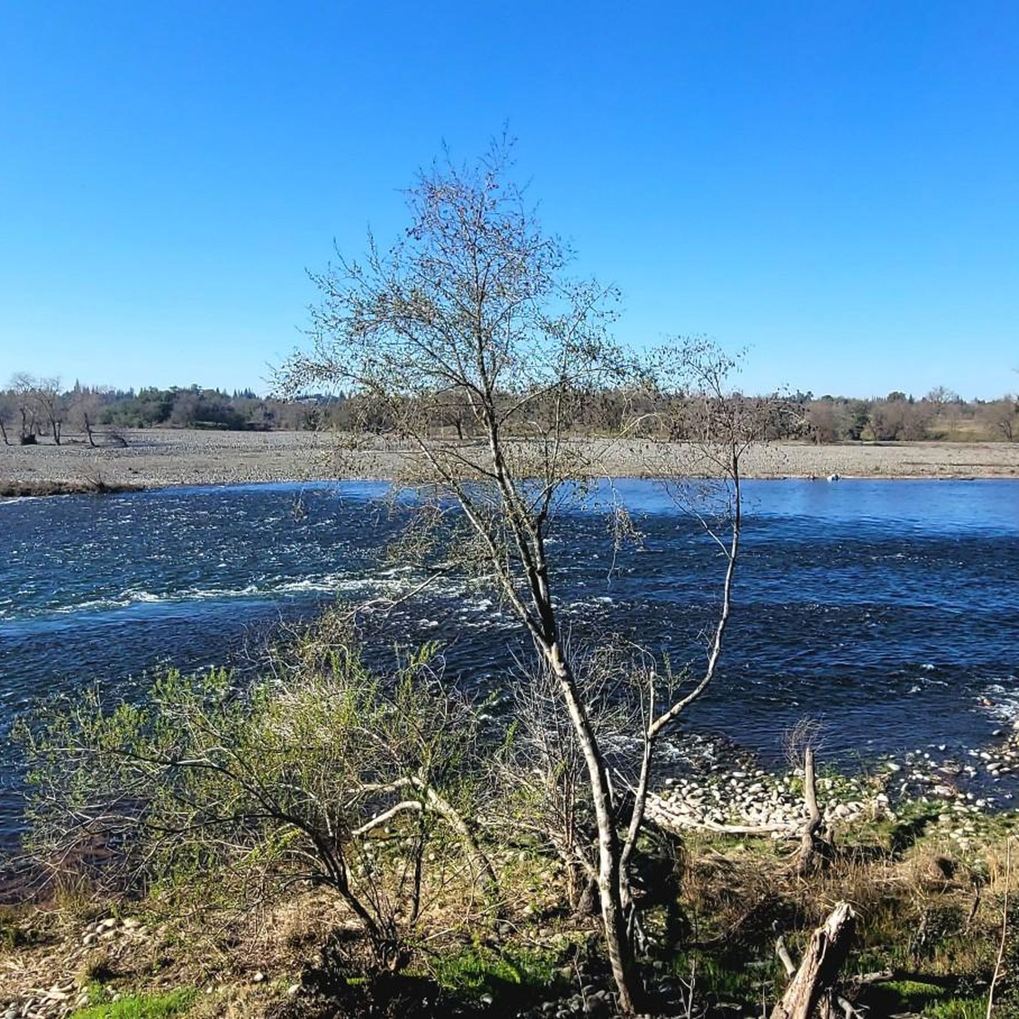
The beauty of riding with sandals, just walk down the ramp into the river, dip your hat, and cool off.
0
0
Frequently Asked Questions
How many hiking trails are available around Citrus Heights?
There are over 40 hiking routes around Citrus Heights, ranging from easy walks to moderate trails. The area offers diverse options, from river parkways to creek greenways, ensuring a suitable path for various fitness levels.
What is the best time of year to go hiking in Citrus Heights?
The Citrus Heights area is generally pleasant for hiking throughout much of the year. Spring and fall offer mild temperatures, ideal for exploring. Summer can be warm, so early mornings or late afternoons are best, especially on trails with less shade. Winter hiking is also possible, with cooler, often clear days.
Are there any family-friendly hiking trails near Citrus Heights?
Yes, many trails around Citrus Heights are suitable for families. The region's generally level topography and accessible paths make it easy for all ages. For example, the Bannister Park to American River via Bannister Bike Trail is an easy 2.0-mile route that connects to the scenic American River Parkway, perfect for a family outing.
Can I bring my dog on the hiking trails in Citrus Heights?
Many trails in and around Citrus Heights are dog-friendly, but it's always best to check specific trail regulations before you go. Generally, dogs are welcome on a leash in most parks and on trails like the American River Parkway, which offers ample space for pets to enjoy the outdoors with their owners.
Are there any circular hiking routes in the Citrus Heights area?
Yes, you can find several circular hiking routes. For instance, the Giant Roseville Sculpture loop from Centerpointe is a moderate 6.4-mile (10.3 km) loop that allows you to explore the area and return to your starting point without retracing your steps.
What kind of natural features or attractions can I expect to see while hiking?
Hiking around Citrus Heights offers views of preserved riparian habitats along the American River Parkway and the tranquil environments of Dry Creek and Secret Ravine. You might also encounter mature oak trees and green spaces. Nearby attractions include Lake Natoma and the Folsom Dam, which are accessible from some trails.
Are there any historical landmarks or points of interest near the trails?
Yes, the wider area around Citrus Heights features several interesting landmarks. You can find the Folsom Historic Truss Bridge and the Folsom Railroad Museum, offering glimpses into the region's past. These are often accessible from trails or nearby areas.
What are the typical trail surfaces like in Citrus Heights?
Trails in Citrus Heights and the surrounding areas feature a variety of surfaces. Many paths, especially along the American River Parkway and within local parks, are paved or well-maintained gravel, making them accessible. Other trails, like sections of the Dry Creek Greenway, might offer more natural, unpaved surfaces.
Is public transportation available to reach hiking trails from Citrus Heights?
Public transportation options to reach some trailheads, particularly those connecting to the American River Parkway, may be available. It's advisable to check local bus routes and schedules for specific access points, as the network aims to link neighborhoods and parks.
Where can I find parking near the hiking trails?
Parking is generally available at various trailheads and parks throughout Citrus Heights and the surrounding areas. For trails connecting to the American River Parkway, designated parking lots are often present. For trails like the Miner's Ravine Trail or Secret Ravine Trail in Roseville, nearby park facilities or street parking might be an option.
What do other hikers enjoy most about hiking in Citrus Heights?
The area is highly rated by the komoot community, with an average score of 4.8 stars. Reviewers often praise the accessible paths, the pleasant green spaces, and the opportunity to connect with nature close to the city, especially along the American River Parkway and various creek greenways.
Are there any places to get refreshments or food near the trails?
While specific cafes or restaurants might not be directly on every trailhead, the urban and suburban nature of Citrus Heights and nearby Roseville means that amenities are usually a short drive away. You can find various dining options and cafes in the communities surrounding the trail networks.
Most popular attractions around Citrus Heights

Get inspired with the komoot mobile app


Explore more
Browse the best Hikes in other regions.
