The best cycling routes around El Segundo
4.6
(236)
4,987
riders
12
rides
Best touring bike trails El Segundo offer access to the Southern California coastline. The region is characterized by flat to gently rolling terrain, featuring extensive beach paths and urban greenways. Elevation changes are minimal, making it suitable for various cycling abilities. The landscape primarily consists of coastal stretches, marinas, and developed areas with some parkland.
Best touring cycling routes around El Segundo
- The most popular touring cycling route is Venice Beach Bike Path – Marina del Rey loop from El Segundo, a 22.3 miles (35.8 km) trail that takes 2 hours 6 minutes to complete. This route offers extensive coastal views along the bike path.
- Another top favourite among local touring cyclists is El Segundo Beach – Redondo Beach Esplanade loop from El Segundo, a moderate 21.6 miles (34.7 km) path. This trail features scenic stretches along the beach and esplanade.
- Local touring cyclists also love the Marina del Rey – Marina del Rey loop from El Segundo, a 12.3 miles (19.8 km) trail leading through coastal marinas, often completed in about 1 hour 10 minutes.
- Touring cycling around El Segundo is defined by coastal paths, beachside routes, and marina loops. The network offers options for different ability levels, from easy to moderate.
- The routes in El Segundo are highly rated by the komoot community with an average score of 4.4 stars from over 200 reviews. More than 4000 touring cyclists have used komoot to explore El Segundo's varied terrain.
Last updated: September 29, 2026
4.7
(38)
511
riders
43.2km
02:37
190m
190m
Moderate bike ride. Good fitness required. Mostly paved surfaces. Suitable for all skill levels.
4.8
(46)
416
riders
42.8km
02:31
170m
170m
Moderate bike ride. Good fitness required. Mostly paved surfaces. Suitable for all skill levels.

4.4
(12)
113
riders
25.2km
01:28
80m
80m
Easy bike ride. Great for any fitness level. Mostly paved surfaces. Suitable for all skill levels.
5.0
(2)
29
riders
14.6km
00:52
50m
50m
Easy bike ride. Great for any fitness level. Mostly paved surfaces. Suitable for all skill levels.
18
riders
12.1km
00:45
90m
90m
Easy bike ride. Great for any fitness level. Mostly paved surfaces. Suitable for all skill levels.
Get access to more routes and recommendations from other explorers.
Already have an account?
Our route recommendations are based on thousands of hikes, rides, and runs completed by other people on komoot.
Start today with a free account
Your next adventure awaits.

Tips from the Community

This path is very curvy, I think on purpose to slow people down.
0
0

Has some bumps here and there nothing too crazy, fun ride
0
0
Scenic beach ride just watch for distracted walkers.
0
0

Popular large, free public skating facility at the beach, with a variety of options for all skill sets. Smooth concrete as of 2025.
1
0
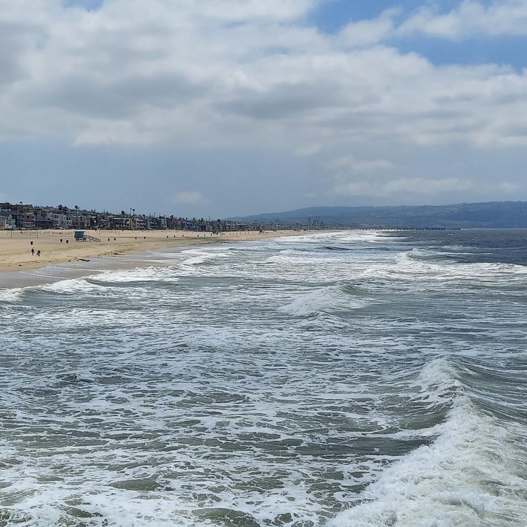
Long stretch of car-free public beachfront, only accessible by an excellent bike/pedestrian boardwalk trail.
0
0
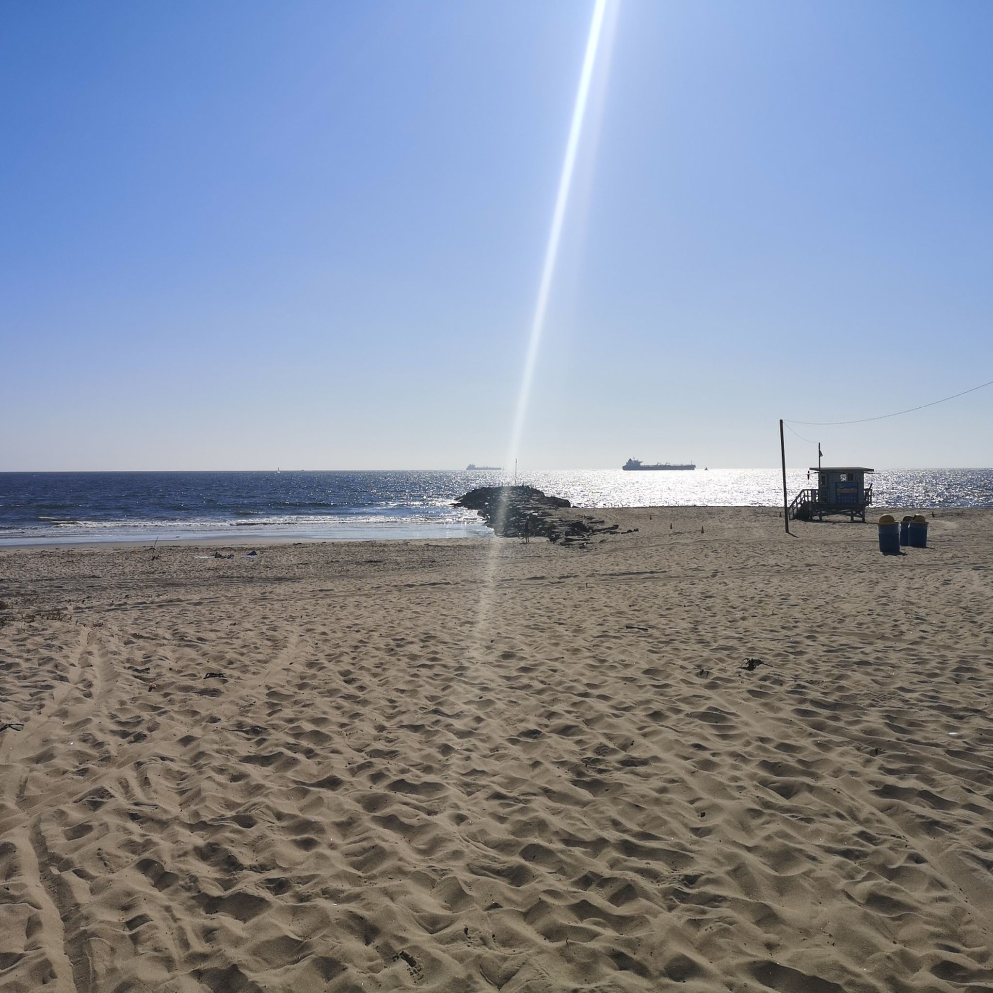
This is the northern end of the beach section with fire rings, the only one on LA Bay allowing fires🔥, BBQ parties, the works. At low tide the sand along the water is firm enough to ride for most tires. Dockweiler State Beach has 3.7 miles of ocean frontage and 288 acres of beach. Amenities include restrooms, showers, picnic facilities, fire rings, and volleyball nets. The Marvin Braude Bike Trail, also known as the beach bike path, is readily accessible, which many visitors use for roller-blading, jogging, and of course, bicycling. Jetties at the north end of the beach provide ideal fishing opportunities. Shore fishing is also popular. The beach is home to a fenced enclosure for the western snowy plover, a federally protected shore bird. The beach is quite expansive with lots of sand. In the summer it can get quite busy, especially towards the evening when everyone is trying to gather around one of the various fire rings. The only drawback here is its proximity to Los Angeles International Airport; the noise can get quite loud for some. The nearby parking lots have over 1,200 spaces and there are so many activities available and the south end has a Recreational Vehicle Park with 118 full hook-up spaces. Nearby is the Dockweiler Youth Center, which offers a multi-purpose room and terrace, youth camps, and community programs. Free access on bikes https://beaches.lacounty.gov/dockweiler-beach
0
0
Free public showers and restrooms with taps to refill your drinking water bottle are provided every one or two miles along the bike trail in this beach park.
1
0
Frequently Asked Questions
How many touring cycling routes are available in El Segundo?
El Segundo offers a wide selection of touring cycling routes, with over 60 options available. These routes cater to various skill levels, from easy coastal rides to more challenging explorations.
Are there easy touring bike trails suitable for beginners or families in El Segundo?
Yes, El Segundo is well-suited for beginners and families due to its generally flat to gently rolling terrain. Many routes are designed for ease, such as the Marina del Rey – Marina del Rey loop from El Segundo, which is an easy 12.3-mile (19.8 km) ride through coastal marinas.
What are some longer distance touring bike routes near El Segundo?
For those seeking longer rides, routes like the Venice Beach Bike Path – Marina del Rey loop from El Segundo offer a substantial 22.3 miles (35.8 km) of coastal cycling. This route provides extensive views along the bike path, connecting popular beach destinations.
Are there any circular touring bike routes in El Segundo?
Many of the touring cycling routes in El Segundo are designed as loops, allowing you to start and end at the same point. A great example is the El Segundo Beach – El Segundo Beach loop from Mariposa, an easy 13.8-mile (22.2 km) ride that keeps you close to the coast.
What is the best season for touring cycling in El Segundo?
El Segundo enjoys a mild climate year-round, making it suitable for touring cycling in most seasons. The coastal location means temperatures are generally pleasant. Summer can be warm, but the ocean breeze often provides relief. Winter cycling is also very feasible, with less rain than other regions and generally mild temperatures.
What kind of scenic viewpoints or attractions can I expect along the touring bike routes?
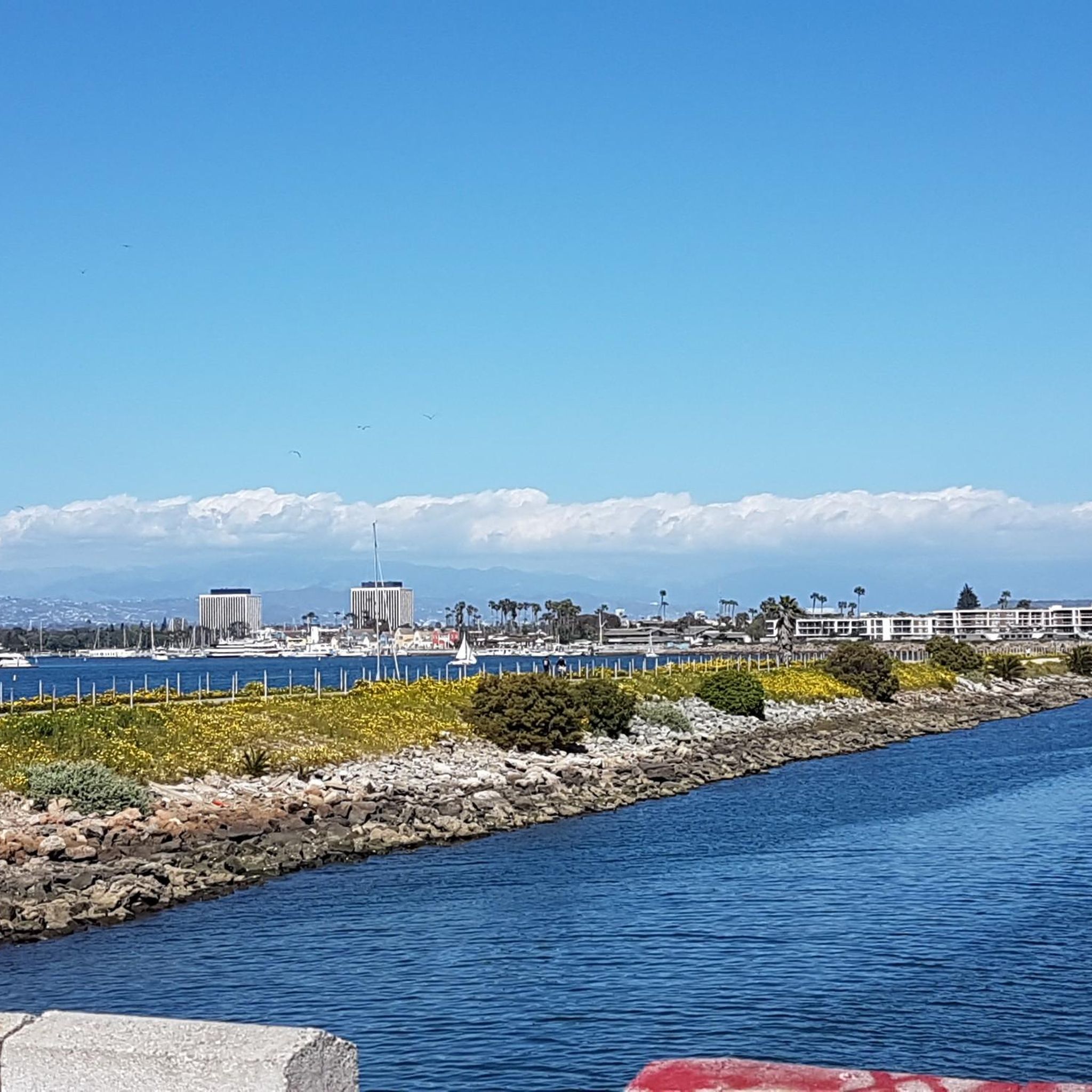
El Segundo's touring routes offer numerous scenic coastal views and access to local attractions. You can enjoy stretches along Ocean Front Walk, pass by El Segundo Beach, or explore the natural beauty of the Ballona Wetlands Ecological Reserve. The routes often feature marinas and beachside esplanades.
Are there dog-friendly bike paths in El Segundo?
While many bike paths in El Segundo are popular, specific regulations for dogs can vary. Generally, dogs on a leash are permitted on many multi-use paths, but it's always best to check local signage or specific park rules for the exact path you plan to ride. The extensive beach paths are often popular for walks with dogs.
What do other touring cyclists enjoy most about cycling in El Segundo?
The touring cycling routes in El Segundo are highly rated by the komoot community, with an average score of 4.4 stars from over 200 reviews. Cyclists frequently praise the accessible coastal paths, the minimal elevation changes, and the beautiful beachside scenery, making it an enjoyable experience for various skill levels.
Are there touring bike trails with cafes or amenities nearby in El Segundo?
Given El Segundo's urban and coastal setting, many touring bike routes pass through or near areas with cafes, restaurants, and other amenities. The beach paths often have concessions or lead to nearby towns like Marina del Rey or Redondo Beach, where you can find plenty of options for refreshments and breaks.
Is public transport available to access El Segundo bike trails?
El Segundo is part of the Los Angeles County public transportation network. While specific bus routes or metro lines might not drop you directly at every trailhead, many routes are accessible via public transport connections, especially those near major roads or urban centers. Check local transit schedules for the best options to reach your desired starting point.
What should I wear for touring biking in El Segundo during the summer?
During summer in El Segundo, lightweight, breathable clothing is recommended. Opt for moisture-wicking fabrics to stay comfortable. While temperatures can be warm, the coastal breeze can make it feel cooler, especially in the mornings or evenings. Sunscreen, sunglasses, and a hat are essential for sun protection.
Are there less crowded touring bike routes available in El Segundo?
While popular coastal paths can see more traffic, especially on weekends, you can often find less crowded experiences by exploring routes slightly off the main beach thoroughfares or by cycling during off-peak hours (early mornings or weekdays). Routes like the El Segundo Beach – Redondo Beach Esplanade loop from El Segundo offer scenic stretches where you can find quieter moments.
Most popular routes around El Segundo
Most popular attractions around El Segundo

Get inspired with the komoot mobile app


Explore more
Browse the best Cycling routes in other regions.
