The best road cycling routes around El Cerrito
4.5
(248)
8,836
riders
21
rides
Road cycling routes around El Cerrito offer diverse landscapes, from flat multi-use paths to challenging hilly terrain. The region features rolling grasslands, wooded canyons, and access to expansive regional parks like Tilden and Wildcat Canyon. Cyclists can experience moderate to significant elevation changes, providing panoramic views of the San Francisco Bay and surrounding areas. The city's natural features, including the Hillside Natural Area, contribute to varied road cycling experiences.
Best road cycling routes around El Cerrito
- The most popular road cycling route is Presidio Promenade – Golden Gate Bridge loop from El Cerrito del Norte, a 57.2 miles (92.0 km) trail that takes 4 hours 25 minutes to complete, offering views of the Golden Gate Bridge.
- Another top favourite among local road cyclists is Grizzly Peak Boulevard – Skyline Boulevard loop from El Cerrito Plaza, a moderate 26.3 miles (42.4 km) path. This route features significant climbs and panoramic vistas along Grizzly Peak Boulevard.
- Local road cyclists also love the Tilden Park Steam Train – Lamorinda Trail Loop loop from El Cerrito Plaza, a 36.9 miles (59.4 km) trail leading through Tilden Regional Park and wooded canyons, often completed in about 3 hours 23 minutes.
- Road cycling around El Cerrito is defined by hilly terrain, panoramic bay views, and access to regional park systems and multi-use paths. The network offers options for different ability levels, from flat rides to routes with over 3,000 feet of elevation gain.
- The routes in El Cerrito are highly rated by the komoot community with an average score of 4.4 stars from more than 10 reviews. More than 1,000 road cyclists have used komoot to explore El Cerrito's varied terrain.
Last updated: August 31, 2026
111
riders
Moderate road ride. Good fitness required. Mostly well-paved surfaces and easy to ride.
3.0
(1)
56
riders
18.7km
00:53
50m
50m
Easy road ride. Great for any fitness level. Mostly well-paved surfaces and easy to ride.

Sign up for free
58
riders
Moderate road ride. Good fitness required. Mostly well-paved surfaces and easy to ride.
44
riders
88.4km
04:39
1,410m
1,410m
Hard road ride. Very good fitness required. Mostly well-paved surfaces and easy to ride.
1.0
(1)
67
riders
43.0km
02:24
810m
810m
Moderate road ride. Good fitness required. Mostly well-paved surfaces and easy to ride.
Get access to more routes and recommendations from other explorers.
Sign up for free
Already have an account?
Our route recommendations are based on thousands of hikes, rides, and runs completed by other people on komoot.
Start today with a free account
Your next adventure awaits.
Login or Signup

Tips from the Community


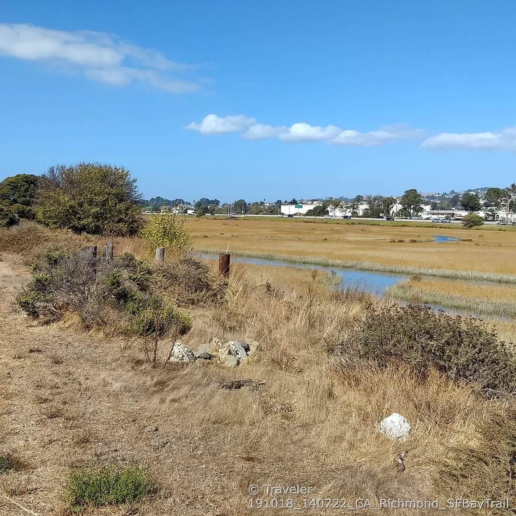
The reservoir is a definite scenic highlight, and you can expect to see plenty of people kayaking, fishing, and hiking on and off the water. San Pablo Dam Road takes you to a couple different boat launches and picnic areas with views of the water. Old San Pablo Dam Road is more scenic and winds along the shore, but the surface is quite old and, while technically paved, is really better suited for a gravel bike.
0
0
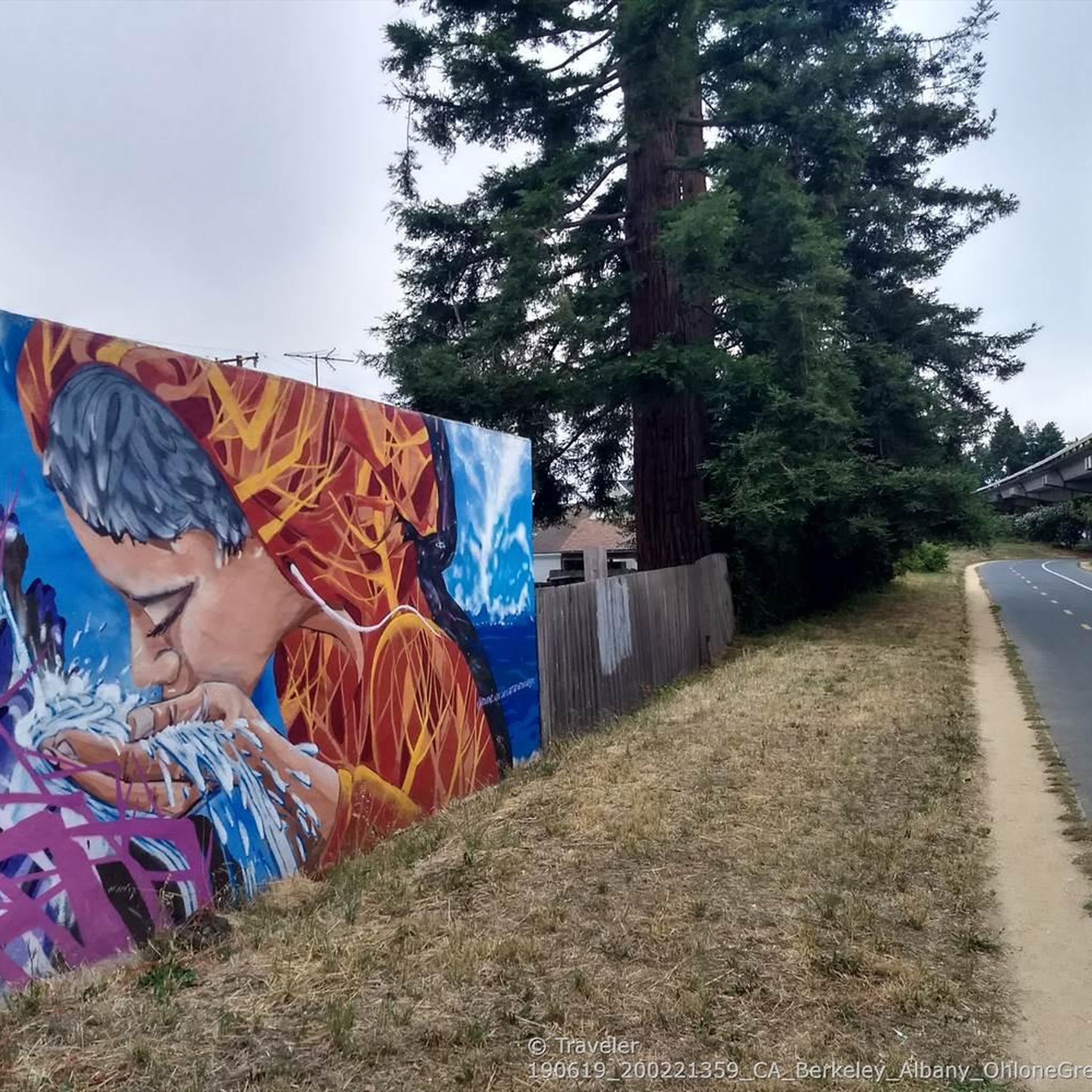
This fun sculpture is right along the Ohlone Greenway in San Gabriel Municipal Park. The blue tubes around the word serve as benches for travelers resting in the shade of the railway overhead.
0
0
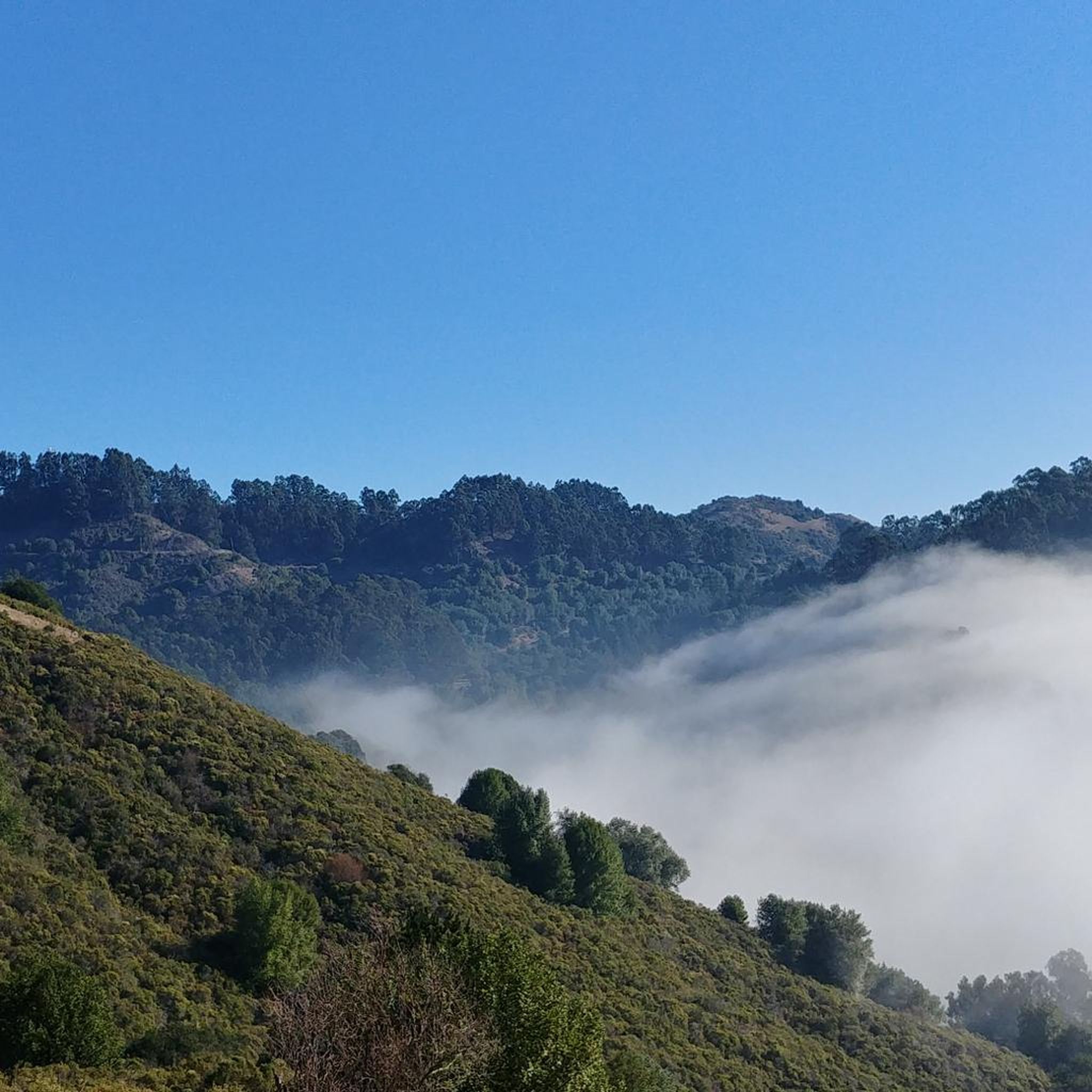
This is a delightful, flowy, mostly shaded route through the canyon with fantastic views through the trees and a few overlooks and picnic spots to pull over and soak in the views.
0
0

Leigh Creekside Park is a small park that is just over an acre in size. The park is a nice resting spot just off the Lafayette-Moraga Trail and features picnic tables, a drinking fountain, and plenty of shade
0
0

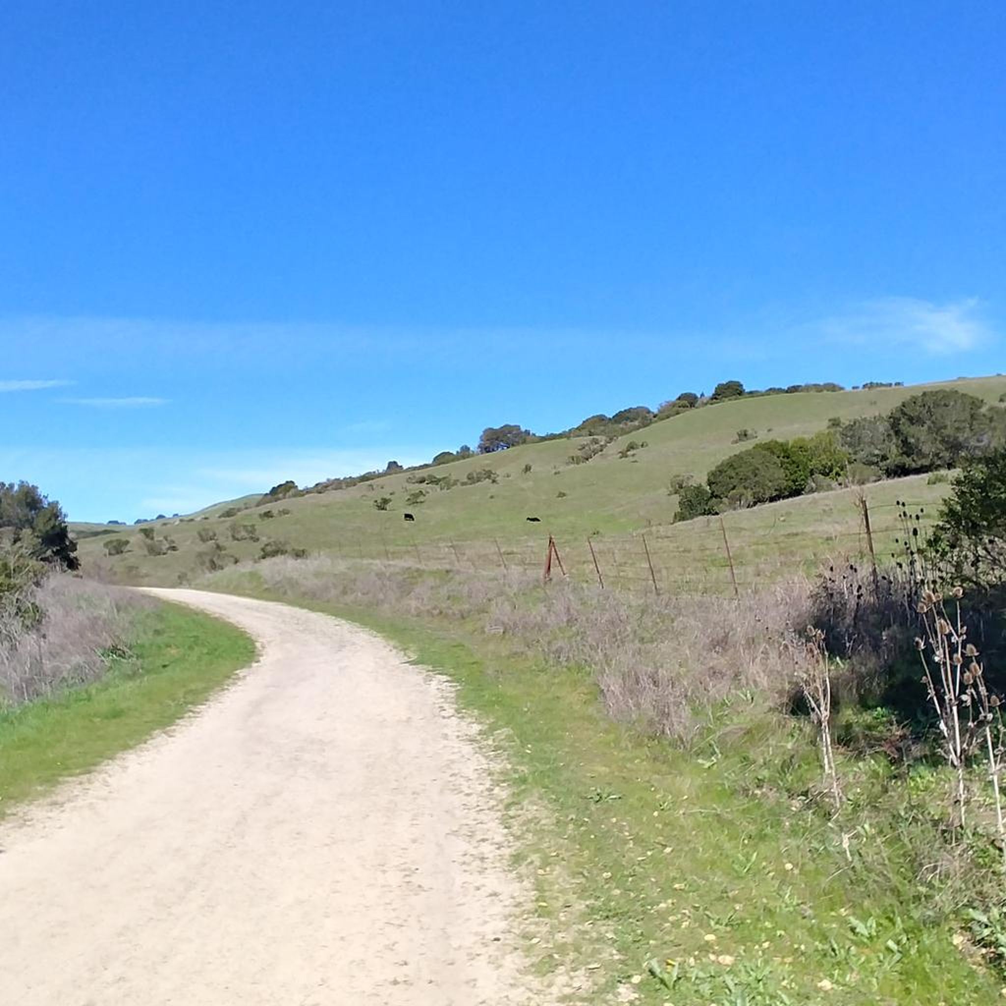
The Lafayette-Moraga Regional Trail is a 7.65-mile paved path for hiking, biking, and horseback riding, open from 5 a.m. to 10 p.m. daily. Paralleling St. Mary's Road, the trail connects Lafayette and Moraga, passing through the scenic Moraga Valley. It is a historical route for mule and steam trains transporting redwood lumber. The trail starts at Olympic Boulevard in Lafayette and ends at the Valle Vista staging area near the San Leandro Reservoir. Along the way, it links to schools, parks, and commercial areas and is maintained by the East Bay Regional Park District.
0
0

Lafayette is a city in Contra Costa County, California, with a population of 25,391 as of 2020. Named after the Marquis de Lafayette, a French officer in the American Revolutionary War, landmarks include the Lafayette Library and Learning Center, Oakmont Memorial Park, and the Cross of Lafayette Memorial, a somewhat controversial tribute to U.S. soldiers who died in Iraq. Lafayette is also home to the historic Park Theater, which closed in 2005 but is currently being considered for reopening. This is a great town to pass through, or start and/or end a ride.
0
0
Frequently Asked Questions
How many road cycling routes are available in El Cerrito?
There are over 25 road cycling routes around El Cerrito, catering to various skill levels. You'll find a mix of easy, moderate, and difficult options to explore the region's diverse landscapes.
What kind of terrain can I expect on road cycling routes in El Cerrito?
El Cerrito offers a varied terrain for road cyclists. You can find flat, paved multi-use paths like sections of the Ohlone Greenway, as well as challenging hilly routes with significant elevation changes. Many routes feature rolling grasslands, wooded canyons, and access to regional parks like Tilden and Wildcat Canyon.
Are there any easy or family-friendly road cycling routes in El Cerrito?
Yes, El Cerrito has several easier routes suitable for families or those seeking a more relaxed ride. The Ohlone Greenway – Inspiration Point Overlook loop from El Cerrito del Norte offers a moderate option that incorporates the flat Ohlone Greenway, which is ideal for casual rides and connects to other routes. The Ohlone Greenway itself is a paved multi-use path suitable for walking, strollers, and other ride-on toys.
Where can I find challenging road cycling routes with significant climbs?
For cyclists seeking a challenge, El Cerrito provides routes with considerable elevation gains. The Grizzly Peak Boulevard – Skyline Boulevard loop from El Cerrito Plaza is a popular moderate route known for its significant climbs and panoramic vistas. Another difficult option is the Tilden Park Steam Train – Lamorinda Trail Loop loop from El Cerrito Plaza, which features over 1,000 meters of elevation gain.
What scenic viewpoints can I expect along El Cerrito road cycling routes?
Many road cycling routes in El Cerrito offer stunning panoramic views. The Hillside Natural Area provides sensational views of the San Francisco Bay, the Golden Gate Bridge, and Brooks Island. Routes like the Presidio Promenade – Golden Gate Bridge loop from El Cerrito del Norte directly offer views of the Golden Gate Bridge. You can also find viewpoints such as Overlook - Briones Reservoir and San Francisco View along various routes.
Are there any notable landmarks or attractions to see while cycling in El Cerrito?
Yes, El Cerrito's routes can take you past or near several interesting spots. You might encounter natural features like Lake Anza or the Wildcat Creek Trail. For historical interest, the Rosie the Riveter Memorial is also accessible. The Point Emery beach area offers a scenic stop.
How do other road cyclists rate the routes in El Cerrito?
The road cycling routes in El Cerrito are highly rated by the komoot community, with an average score of 4.4 stars from over 15 reviews. More than 1,000 road cyclists have used komoot to explore the varied terrain, often praising the panoramic bay views and access to regional park systems.
Can I access El Cerrito cycling routes using public transport?
Yes, El Cerrito is well-served by public transport, particularly BART (Bay Area Rapid Transit). Many routes, such as the Presidio Promenade – Golden Gate Bridge loop and the Ohlone Greenway – Inspiration Point Overlook loop, start from the El Cerrito del Norte BART station, making them easily accessible without a car. The Ohlone Greenway also runs beneath the elevated BART tracks, providing a direct connection.
Are there any loop road cycling routes in El Cerrito?
Many of the road cycling routes in El Cerrito are designed as loops, offering a convenient way to start and end your ride in the same location. Examples include the Inspiration Point Overlook – Wildcat Canyon Road loop from El Cerrito Plaza and the Grizzly Peak Boulevard – Skyline Boulevard loop from El Cerrito Plaza.
What is the best time of year for road cycling in El Cerrito?
El Cerrito generally offers good road cycling conditions year-round due to its mild climate. However, spring and fall often provide the most comfortable temperatures and clear skies, ideal for enjoying the panoramic views. Summers can be warm, while winters are typically mild but may bring occasional rain.
Is there parking available near the cycling routes in El Cerrito?
Yes, parking is generally available near many of the starting points for road cycling routes in El Cerrito. For routes beginning from BART stations like El Cerrito Plaza or El Cerrito del Norte, there are often parking facilities. Additionally, various parks and trailheads throughout the city and surrounding regional parks provide parking options for cyclists.
Most popular routes around El Cerrito
Most popular attractions around El Cerrito

Get inspired with the komoot mobile app


Explore more
Browse the best Road cycling routes in other regions.
