The best road cycling routes around Clayton
4.3
(18)
609
riders
23
rides
Road cycling routes around Clayton, California, offer diverse terrain ranging from flat, paved trails to challenging climbs through rolling hills and canyons. The region features extensive trail networks, including sections that follow waterways and former railway lines, providing varied landscapes for cyclists. These routes traverse areas with significant elevation changes, such as Morgan Territory and Wildcat Canyon, alongside more level paths like the Iron Horse Trail. The landscape combines open spaces with forested sections and views of natural features like…
Last updated: August 19, 2026
11
riders
102km
05:03
970m
970m
Hard road ride. Very good fitness required. Mostly well-paved surfaces and easy to ride.
2
riders
57.2km
03:10
230m
230m
Moderate road ride. Good fitness required. Some segments of this route may be unpaved and difficult to ride.

Sign up for free
4.7
(3)
359
riders
59.8km
03:58
1,580m
1,580m
Hard road ride. Very good fitness required. Mostly well-paved surfaces and easy to ride.
4.3
(3)
111
riders
Easy road ride. Great for any fitness level. Mostly well-paved surfaces and easy to ride.
53
riders
83.8km
04:20
1,320m
1,320m
Hard road ride. Very good fitness required. Mostly well-paved surfaces and easy to ride.
Get access to more routes and recommendations from other explorers.
Sign up for free
Already have an account?
Our route recommendations are based on thousands of hikes, rides, and runs completed by other people on komoot.
Start today with a free account
Your next adventure awaits.
Login or Signup
Tips from the Community

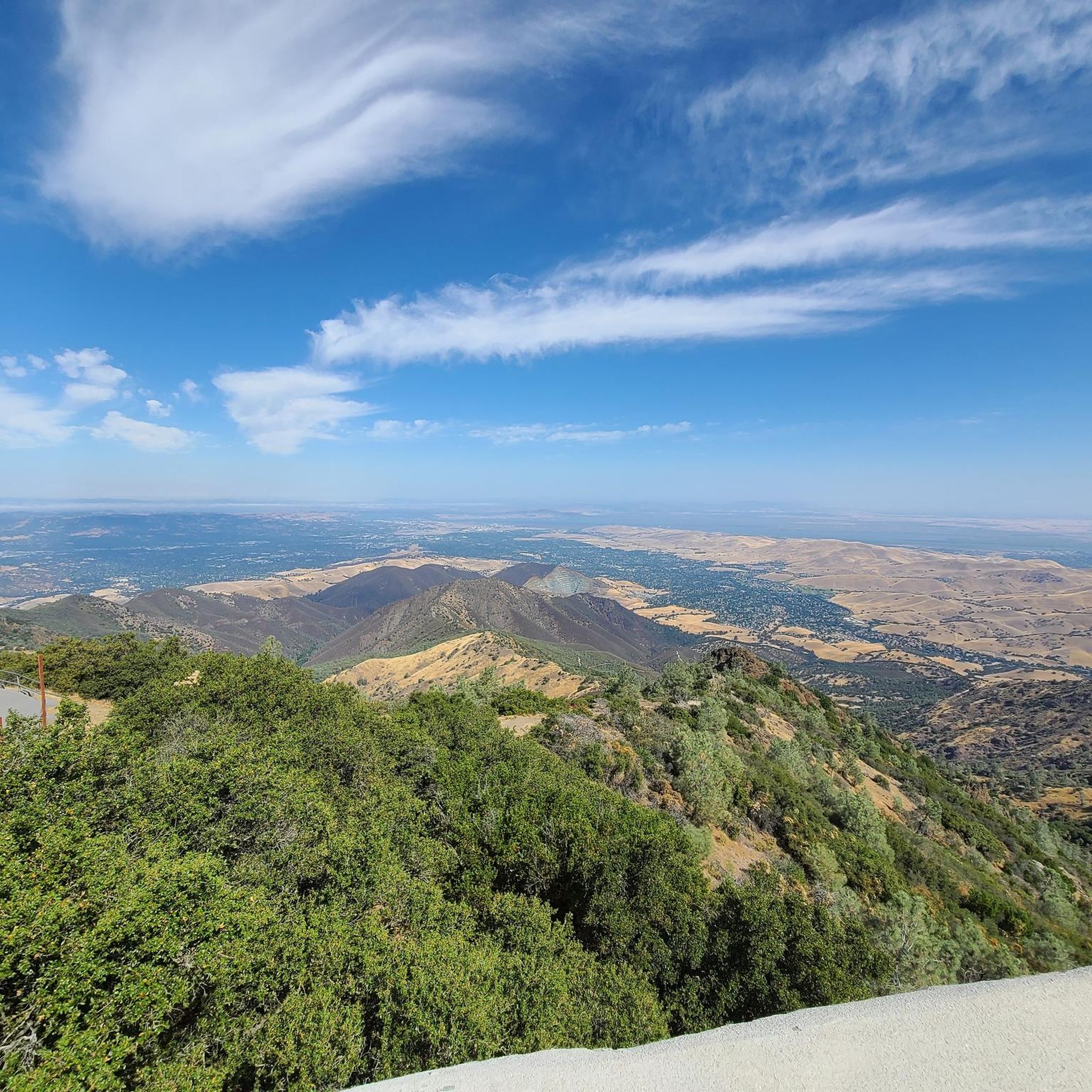
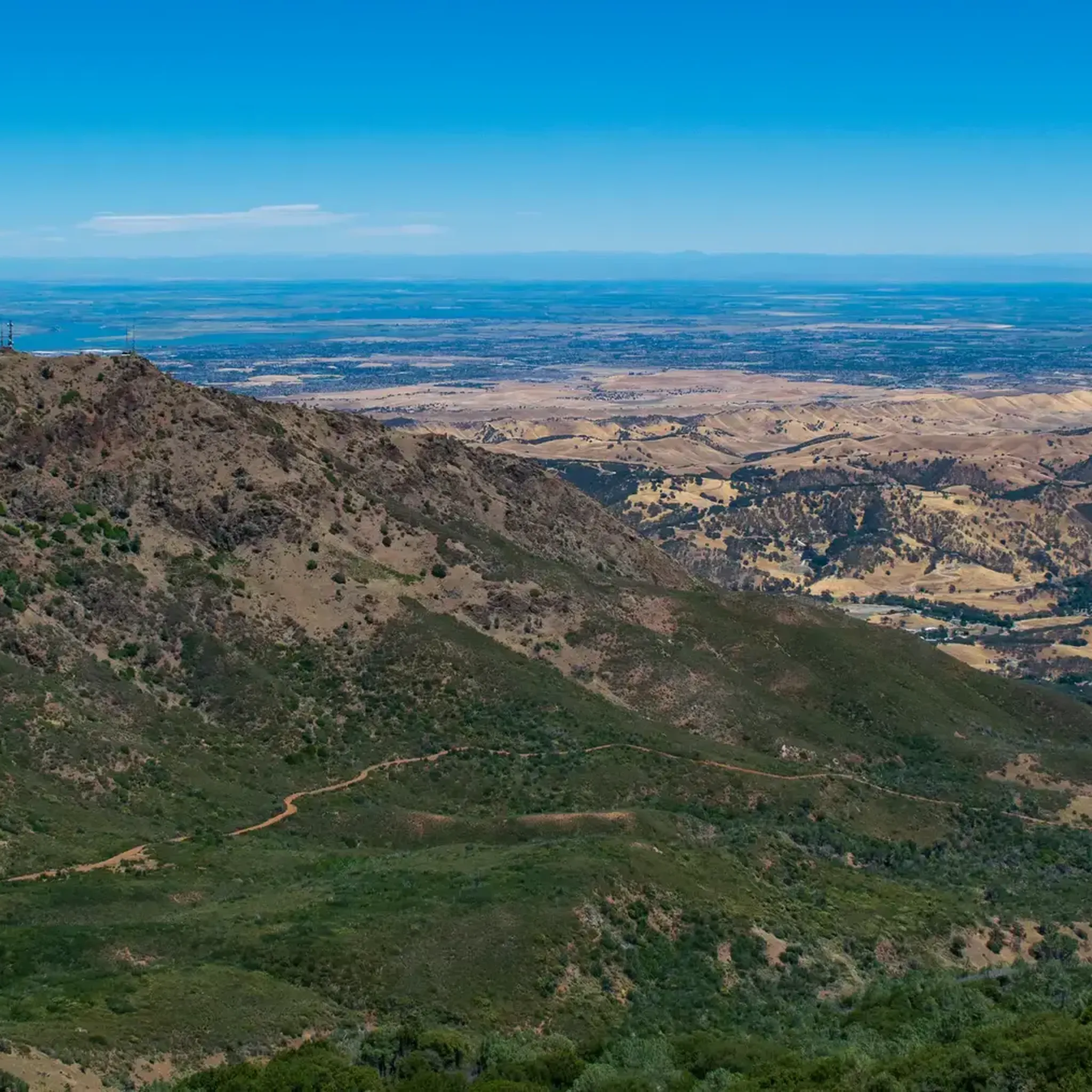
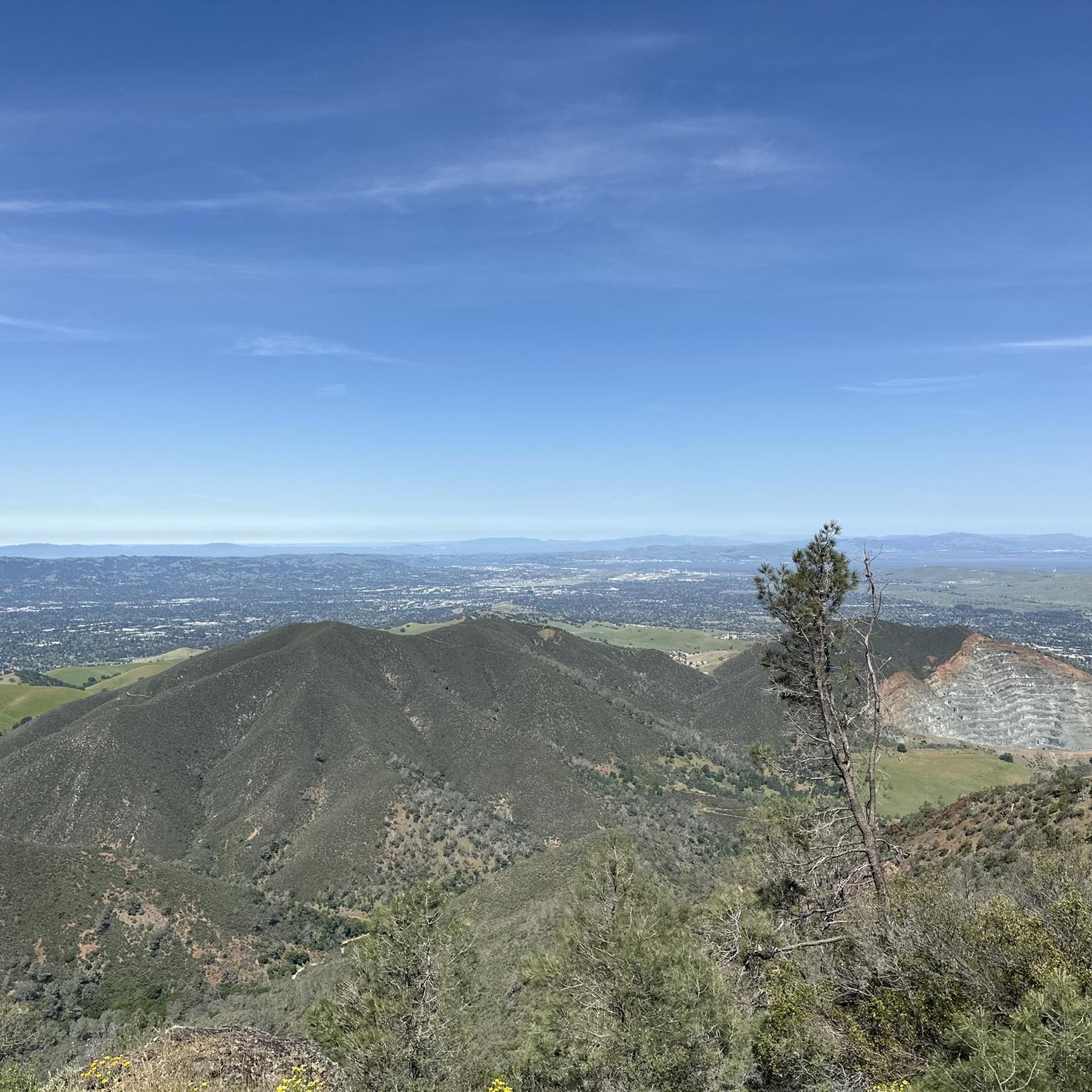
Mount Diablo, is the Bay Area second-highest peak at 1173m (3849ft). The challenging climb features constantly fluctuating gradients averaging 8%, with tough sections up to 18% and a brutal 23% finish in the last 200m. The equally demanding descent requires good bike handling due to tight corners, potholes, and strong winds. The road to the top is open daily from 8 AM till sunset.
0
0
Valle Vista is the trailhead for the paved Lafayette-Moraga Regional Trail, a popular rail-trail for cyclists. There’s a restroom here, but note: the EBMUD dirt trails are hiking-only and require a permit. The bike trail has been officially closed between here and Moraga since a 2019 landslide.
0
0

The Museum of the San Ramon Valley was established in 1985 and sits in a restored 1891 Southern Pacific Railroad Depot with the Victorian-era “Combination Station No. 22” listed on the National Register of Historic Places. The Official Visitor Information Center offers maps, guides, and knowledgeable staff, along with free parking and restrooms located in the caboose.
1
0

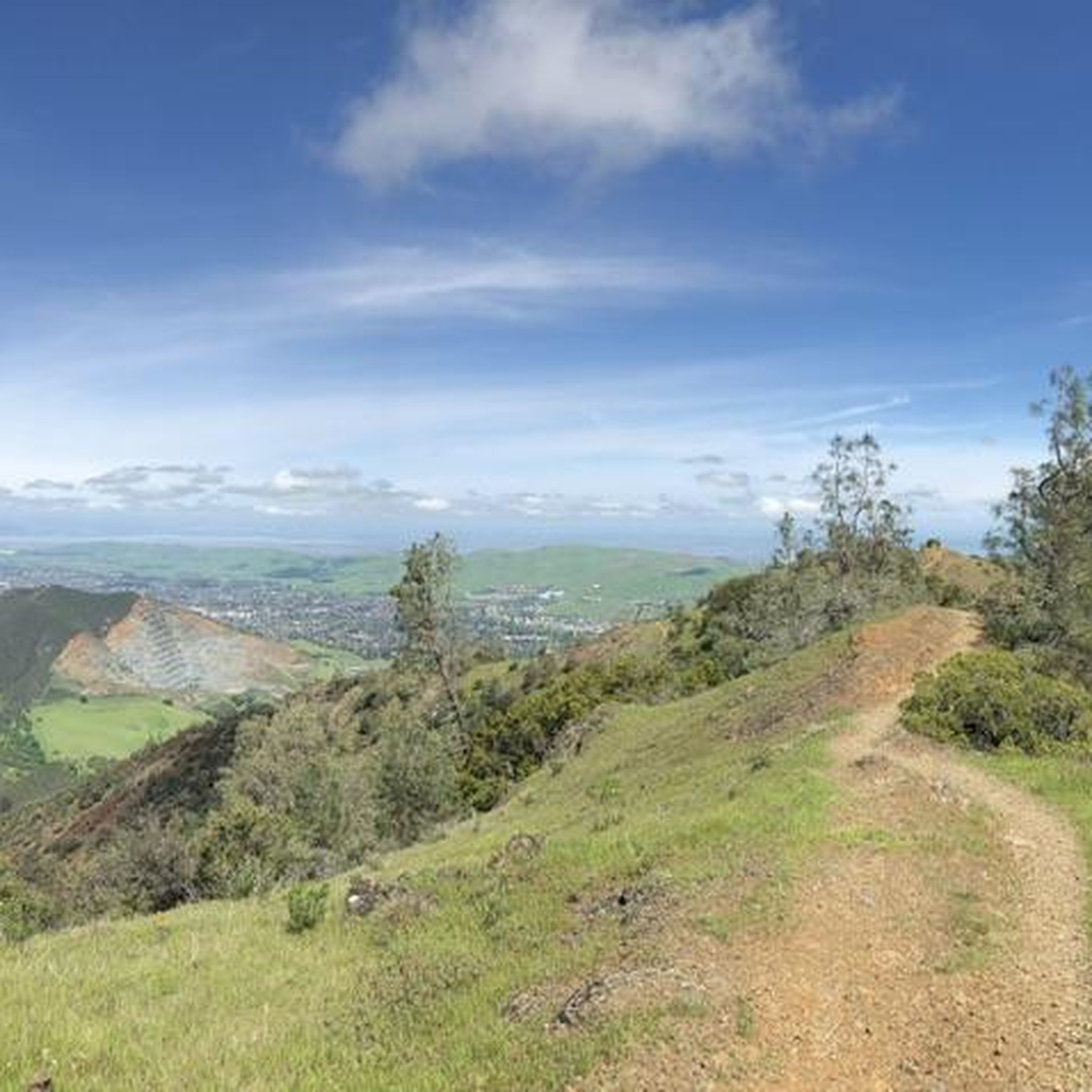
This road parallels the ridgeline above and have great views over the bay and surrounding hills.
0
0
The Iron Horse Trail is a rail trail through San Ramon Valley. It’s a smooth, paved path—great for a relaxed spin or a steady training session. The route is mostly flat, with easy access to cafés and parks along the way. This urban trail winds through several green spaces and crosses some cool bridges. It’s shared with pedestrians and horseback riders, so be sure to ride carefully.
1
0

This is a delightful, flowy, mostly shaded route through the canyon with fantastic views through the trees and a few overlooks and picnic spots to pull over and soak in the views.
0
0

The Lafayette-Moraga Regional Trail is a 7.65-mile path that runs through Moraga Valley, connecting Las Trampas Ridge with Oakland Hills.
0
0
The Iron Horse Trail is a 32-mile multi-path that connects the towns of Concord and Pleasanton. It follows the route of the abandoned Southern Pacific Railroad. With its access to schools, business centers, and parks, the path is popular with commuters and recreationalists.
0
0
Frequently Asked Questions
What kind of terrain can I expect on road cycling routes around Clayton?
Road cycling routes around Clayton, California, offer a diverse range of terrain. You'll find everything from flat, paved trails suitable for leisurely rides to challenging climbs through rolling hills and canyons. The region features extensive trail networks, including sections that follow waterways and former railway lines, providing varied landscapes. Notable areas like Morgan Territory and Wildcat Canyon offer significant elevation changes, while paths like the Iron Horse Trail provide more level options.
Are there road cycling routes suitable for beginners or families in Clayton?
Yes, Clayton offers several easy road cycling routes perfect for beginners or family outings. For instance, the Iron Horse Trail – Iron Horse Trail bridge loop from Contra Costa Centre is an easy 21.6-mile (34.7 km) trail that takes about 1 hour 36 minutes, leading through urban and suburban landscapes. Another great option is the Iron Horse Trail bridge – Walden Park loop from Concord, which is 25.8 km and also rated easy.
How many road cycling routes are available in the Clayton area?
There are over 20 road cycling routes available around Clayton, California. These routes cater to various skill levels, with 8 easy, 11 moderate, and 3 difficult options to explore.
What are some scenic highlights or natural attractions I can see while cycling in Clayton?
While road cycling around Clayton, you can enjoy views of the Delta and forested sections. For specific natural attractions, consider visiting the Mount Diablo Summit, Eagle Peak, or the Devil's Pulpit, all of which are natural monuments in the area. You might also pass by lakes like Twin Ponds or Contra Loma Reservoir.
Are there any challenging road cycling routes for experienced riders in Clayton?
Absolutely. For experienced riders seeking a challenge, Clayton offers difficult routes with significant elevation gain. The Morgan Territory Road Loop is a demanding 63.6-mile (102.4 km) trail with nearly 1000 meters of elevation gain. Another difficult option is the Wildcat Canyon Road – Iron Horse Trail junction loop from Concord, which spans 80.1 km and features similar elevation changes.
What do other road cyclists say about the routes in Clayton?
The road cycling routes in Clayton are highly rated by the komoot community, with an average score of 4.4 stars from over 20 reviews. Cyclists often praise the extensive paved trail networks, the variety of terrain from rolling hills to scenic routes along creeks and canyons, and the options available for different ability levels.
Are there any loop routes for road cycling in Clayton?
Yes, many of the road cycling routes in Clayton are designed as loops, offering a continuous ride back to your starting point. Examples include the Morgan Territory Road Loop, the Delta de Anza, Mokelumne & Marsh Creek Trails Loop, and the Iron Horse Trail – Iron Horse Trail bridge loop from Contra Costa Centre.
What types of trails make up the road cycling network in Clayton?
The road cycling network in Clayton primarily consists of extensive paved trail networks. These include sections that follow waterways and former railway lines, providing varied landscapes. You'll encounter both dedicated bike paths and roads with varying traffic levels, offering a mix of urban, suburban, and natural environments.
Are there any routes that follow waterways or offer views of the Delta?
Yes, several routes in Clayton offer scenic views along waterways and of the Delta. The Delta de Anza, Mokelumne & Marsh Creek Trails Loop is a moderate 35.5-mile (57.2 km) path that specifically offers a mix of paved trails and scenic views along waterways and the Delta.
What is the typical elevation gain on road cycling routes in Clayton?
The elevation gain varies significantly across Clayton's road cycling routes. Easier, flatter routes like the Iron Horse Trail bridge – Walden Park loop might have around 70-80 meters of elevation gain. More challenging routes, such as the Morgan Territory Road Loop or the Wildcat Canyon Road – Iron Horse Trail junction loop, can feature close to 1000 meters of elevation gain, making them suitable for advanced cyclists.
Are there any visitor centers or facilities along the road cycling routes in Clayton?
While cycling in the Clayton area, you might find facilities at locations like Heather Farm Park or the Mitchell Canyon Visitor Center, which can serve as convenient stops or starting points for your rides.
Most popular attractions around Clayton

Get inspired with the komoot mobile app


Explore more
Browse the best Road cycling routes in other regions.
