The best road cycling routes around Dana Point
4.8
(69)
2,308
riders
90
rides
Road cycling around Dana Point features diverse coastal landscapes and dedicated bike paths. The region is characterized by coastal bluffs, pristine beaches, and a network of multi-use trails. Key routes include the Pacific Coast Highway protected bike path and the San Juan Creek Trail, offering both scenic and paved journeys. The area provides a variety of cycling experiences, from flat coastal rides to routes with elevation gains.
Best road cycling routes around Dana Point
- The most popular road cycling route is North Beach – Doheny State Beach loop from Dana Point, a 19.2 miles (31.0 km) trail that takes 1 hour 27 minutes to complete. This route offers coastal views and connects popular beach areas.
- Another top favourite among local road cyclists is Doheny State Beach – Butterfly Garden loop from Avd Vaquero-Calle Vallarta, an easy 10.7 miles (17.3 km) path. This route explores the area around Doheny State Beach, a central hub for cycling.
- Local road cyclists also love the San Juan Creek Trail – Descanso Park loop from Dana Point, a 14.5 miles (23.4 km) trail leading through the San Juan Creek area, often completed in about 1 hour 4 minutes.
- Road cycling around Dana Point is defined by coastal bluffs, dedicated bike paths, and the Dana Point Harbor. The network offers options for easy, moderate, and difficult routes, catering to various ability levels.
- The routes in Dana Point are highly rated by the komoot community with an average score of 4.8 stars from over 50 reviews. More than 1,500 road cyclists have used komoot to explore Dana Point's varied terrain.
Last updated: September 1, 2026
4.4
(7)
162
riders
56.5km
02:37
360m
360m
Moderate road ride. Good fitness required. Mostly well-paved surfaces and easy to ride.
4.5
(2)
45
riders
23.5km
01:04
100m
100m
Easy road ride. Great for any fitness level. Mostly well-paved surfaces and easy to ride.

Sign up for free
5.0
(3)
37
riders
Easy road ride. Great for any fitness level. Mostly well-paved surfaces and easy to ride.
17
riders
43.9km
02:11
600m
600m
Moderate road ride. Good fitness required. Mostly well-paved surfaces and easy to ride.
8
riders
11.8km
00:37
70m
70m
Easy road ride. Great for any fitness level. Mostly well-paved surfaces and easy to ride.
Get access to more routes and recommendations from other explorers.
Sign up for free
Already have an account?
Our route recommendations are based on thousands of hikes, rides, and runs completed by other people on komoot.
Start today with a free account
Your next adventure awaits.
Login or Signup

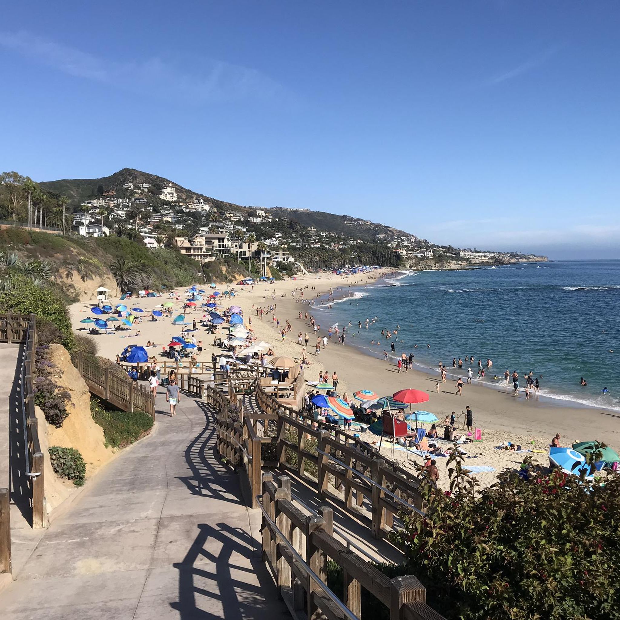
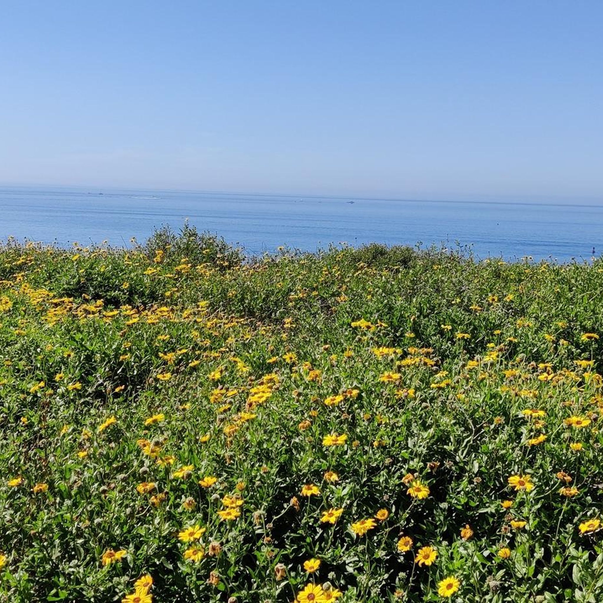
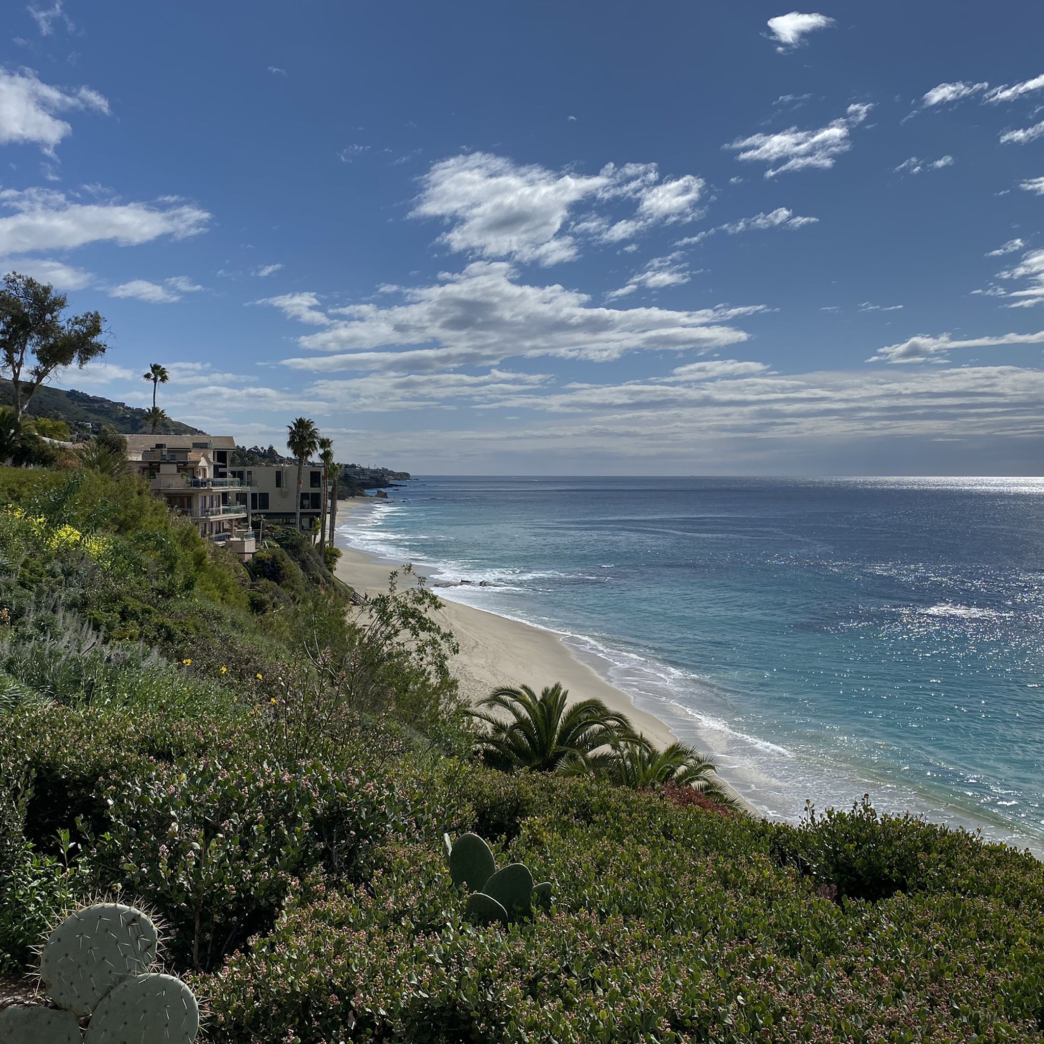
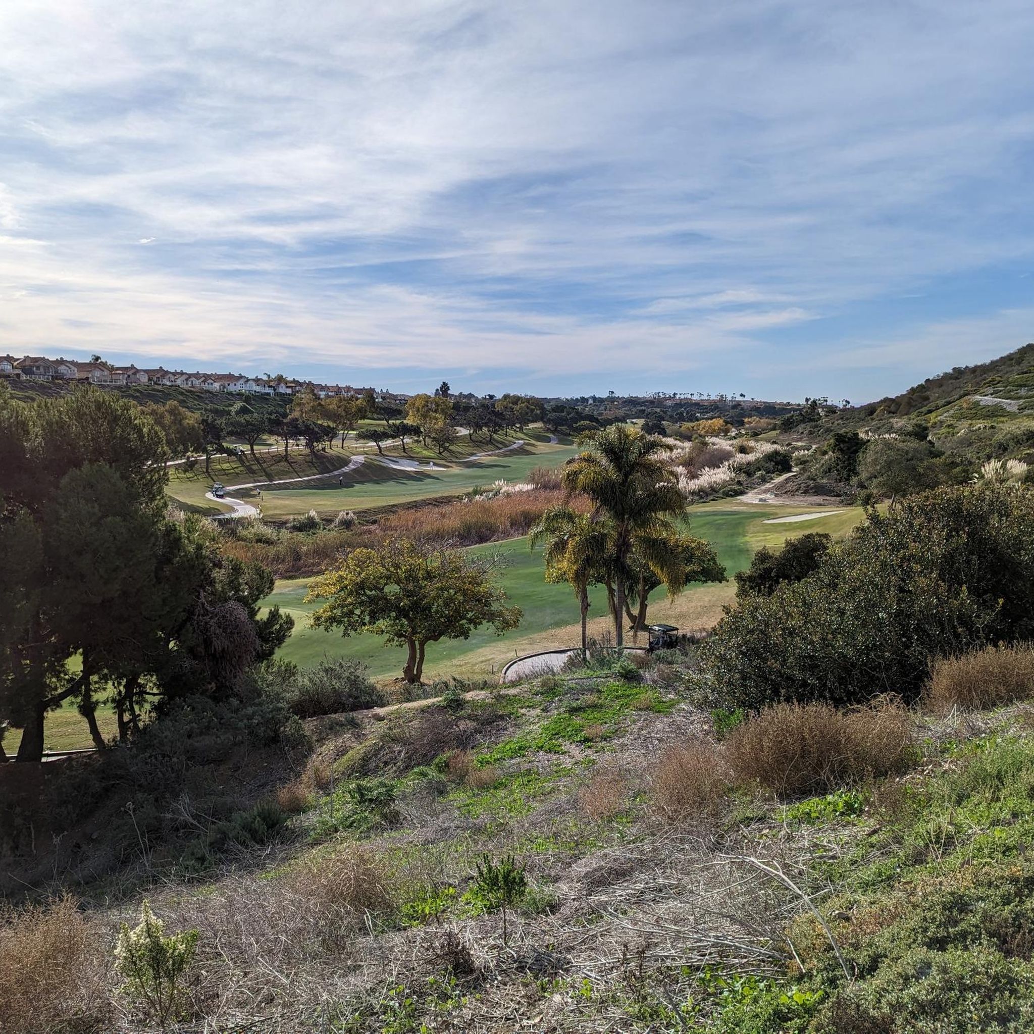
Other adventures around Dana Point

Tips from the Community

La Plaza Park is a small green space located in the heart of town, near the Dana Point Pedestrian Bridge and the Lantern District. Visitors can find a dolphin fountain, local shops, and cafes.
1
0
This Dana Point Gate or Dana Point Pedestrian Bridge spans across Pacific Coast Highway (CA-1) near Del Prado Avenue. It is a safe and scenic crossing point for pedestrians and bikers going between the Lantern District and Dana Point Harbor or Doheny State Beach.
0
0

Interesting bridge that takes you over Avenida La Pata. The bridge is open to cars as well as cyclists, but the bridge leads to dirt roads that take you through the hills, so it is normally very quiet.
0
0

The Trabuco Creek Trail converges with the San Juan Creek Trail at Descanso Park and crosses to the west side of the river via a bridge. All of the creek trails are two lane paved paths.
0
0
Beach access is cut off to the south by beachfront properties, but along the water to the north there is a great route that offers fantastic views of the Pacific Ocean as you make your way up to Dana Point.
0
0

The San Juan Creek Trail is about 6 miles long and runs from Doheny State Beach, at scenic Dana Point, to its confluence with Trabuco Creek at Descanso Park in San Juan Capistrano. The path parallels the San Juan Creek River on the levee of its western bank. The trail is flat and paved, making it ideal for walking, running and cycling.
0
0
The sidewalk that follows the road grants access to the trails leading up into Pico Park with views over the beach houses to the ocean. The trails are very well maintained and lead up to Sea Summit and Vista de Sol Park.
0
0
The sidewalk that follows the road grants access to the trails leading up into Pico Park with views over the beach houses to the ocean. The trails are very well maintained and lead up to Sea Summit and Vista de Sol Park.
0
0
Frequently Asked Questions
How many road cycling routes are available in Dana Point?
Dana Point offers a wide selection of road cycling routes, with over 80 routes available on komoot. These routes cater to various skill levels, from easy coastal rides to more challenging inland loops.
What types of road cycling routes can I find in Dana Point?
You'll find a diverse range of road cycling experiences in Dana Point. There are 15 easy routes, 64 moderate routes, and 8 difficult routes, ensuring options for beginners and experienced cyclists alike. Many routes feature stunning coastal views and dedicated bike paths.
Are there road cycling routes suitable for beginners in Dana Point?
Yes, Dana Point has several excellent options for beginner road cyclists. Routes like the Doheny State Beach – Butterfly Garden loop from Avd Vaquero-Calle Vallarta offer an easy, mostly flat experience. The San Juan Creek Trail is also a popular, paved route that avoids significant elevation gains.
Can I find road cycling routes with ocean views in Dana Point?
Absolutely. Dana Point is renowned for its coastal beauty. The Pacific Coast Highway (PCH) offers a protected bike path with panoramic ocean views. Many routes, such as the North Beach – Doheny State Beach loop from Dana Point, incorporate stretches along the coastline, providing breathtaking scenery.
Are there any family-friendly road cycling options in Dana Point?
For families, the San Juan Creek Trail is an ideal choice. This easy, paved trail connects San Juan Capistrano to Doheny State Beach, offering a safe and scenic ride away from traffic. It leads directly to Dana Point Harbor, where families can enjoy waterfront amenities.
Are there loop road cycling routes in Dana Point?
Yes, many road cycling routes in Dana Point are designed as loops, allowing you to start and end at the same point. Examples include the North Beach – Doheny State Beach loop from Dana Point and the San Juan Creek Trail – Descanso Park loop from Dana Point.
What attractions can I see along road cycling routes in Dana Point?
Many routes pass by or near notable attractions. You can cycle past beautiful beaches like Doheny State Beach and North Beach, or explore the area around the Butterfly Garden. The Dana Point Harbor is also a bustling hub accessible by bike, offering whale watching and dining.
What do other road cyclists enjoy most about the routes in Dana Point?
The road cycling routes in Dana Point are highly rated by the komoot community, with an average score of 4.8 stars from over 50 reviews. Cyclists often praise the stunning coastal views, the well-maintained dedicated bike paths, and the variety of routes catering to different fitness levels.
What is the best time of year for road cycling in Dana Point?
Dana Point generally offers excellent cycling conditions year-round due to its mild Southern California climate. Spring and fall provide comfortable temperatures, while summer can be warm but often features a pleasant onshore breeze. Winter cycling is also popular, with cooler, clear days.
Are there dedicated bike paths for road cycling in Dana Point?
Yes, Dana Point boasts dedicated bike paths that enhance the cycling experience. Key examples include the protected 1.5-mile bike path along the Pacific Coast Highway and the approximately 6-mile paved San Juan Creek Trail, which offers a safe route away from vehicular traffic.
How long are the road cycling routes in Dana Point?
The road cycling routes in Dana Point vary significantly in length. You can find shorter, easy rides like the Doheny State Beach – Butterfly Garden loop at about 10.7 miles (17.3 km), to longer, more challenging routes such as the Aliso Creek Bikeway – Descanso Park loop from OCTA, which spans over 40 miles (67.4 km).
Where can I find parking for road biking in Dana Point?
Parking is generally available at popular starting points for road cycling routes. Doheny State Beach is a central hub with parking facilities, offering access to coastal paths and the San Juan Creek Trail. Various parks and public lots throughout Dana Point also provide convenient access to routes.
Most popular routes around Dana Point
Most popular attractions around Dana Point

Get inspired with the komoot mobile app


Explore more
Browse the best Road cycling routes in other regions.
