The best road cycling routes around Buena Park
4.8
(64)
2,643
riders
11
rides
Road cycling routes around Buena Park feature a diverse landscape, combining urban green spaces with natural sections. The region offers varied terrain, including views of distant mountains and hills, and extensive trail networks. Cyclists can find paths with eucalyptus shade and vistas of the West Coyote Hills, alongside routes connecting to broader regional systems like the San Gabriel River Trail. These features provide a mix of accessible urban parks and longer, more extensive rides.
Best road cycling routes around Buena Park
- The most popular road cycling route is OC Loop, a 39.8 miles (64.1 km) trail that takes 2 hours 41 minutes to complete. This route is part of an extensive regional network, offering connections to various parts of Orange County.
- Another top favourite among local road cyclists is Hawks Pointe to Laguna Lake loop, an easy 11.9 miles (19.2 km) path. This route provides varied terrain and lake views through urban green spaces.
- Local road cyclists also love the San Gabriel River Trail – Huntington State Beach loop from Camp Snoopy Depot, a 56.3 miles (90.6 km) trail leading through the San Gabriel River Trail and towards coastal destinations, often completed in about 4 hours 11 minutes.
- Road cycling around Buena Park is defined by urban green spaces, views of distant mountains and hills, and extensive trail networks. The network offers options for easy, moderate, and difficult routes, catering to different ability levels.
- The routes in Buena Park are highly rated by the komoot community with an average score of 4.9 stars from over 80 reviews. More than 2,900 road cyclists have used komoot to explore Buena Park's varied terrain.
Last updated: October 10, 2026
2
riders
64.1km
02:42
70m
70m
Moderate road ride. Good fitness required. Mostly well-paved surfaces and easy to ride.
3.8
(6)
112
riders
50.0km
02:19
70m
70m
Moderate road ride. Good fitness required. Mostly well-paved surfaces and easy to ride.

4.8
(6)
111
riders
Easy road ride. Great for any fitness level. Mostly well-paved surfaces and easy to ride.
5.0
(2)
182
riders
Moderate road ride. Good fitness required. Mostly well-paved surfaces and easy to ride.
27
riders
Moderate road ride. Good fitness required. Mostly well-paved surfaces and easy to ride.
Get access to more routes and recommendations from other explorers.
Already have an account?
Our route recommendations are based on thousands of hikes, rides, and runs completed by other people on komoot.
Start today with a free account
Your next adventure awaits.
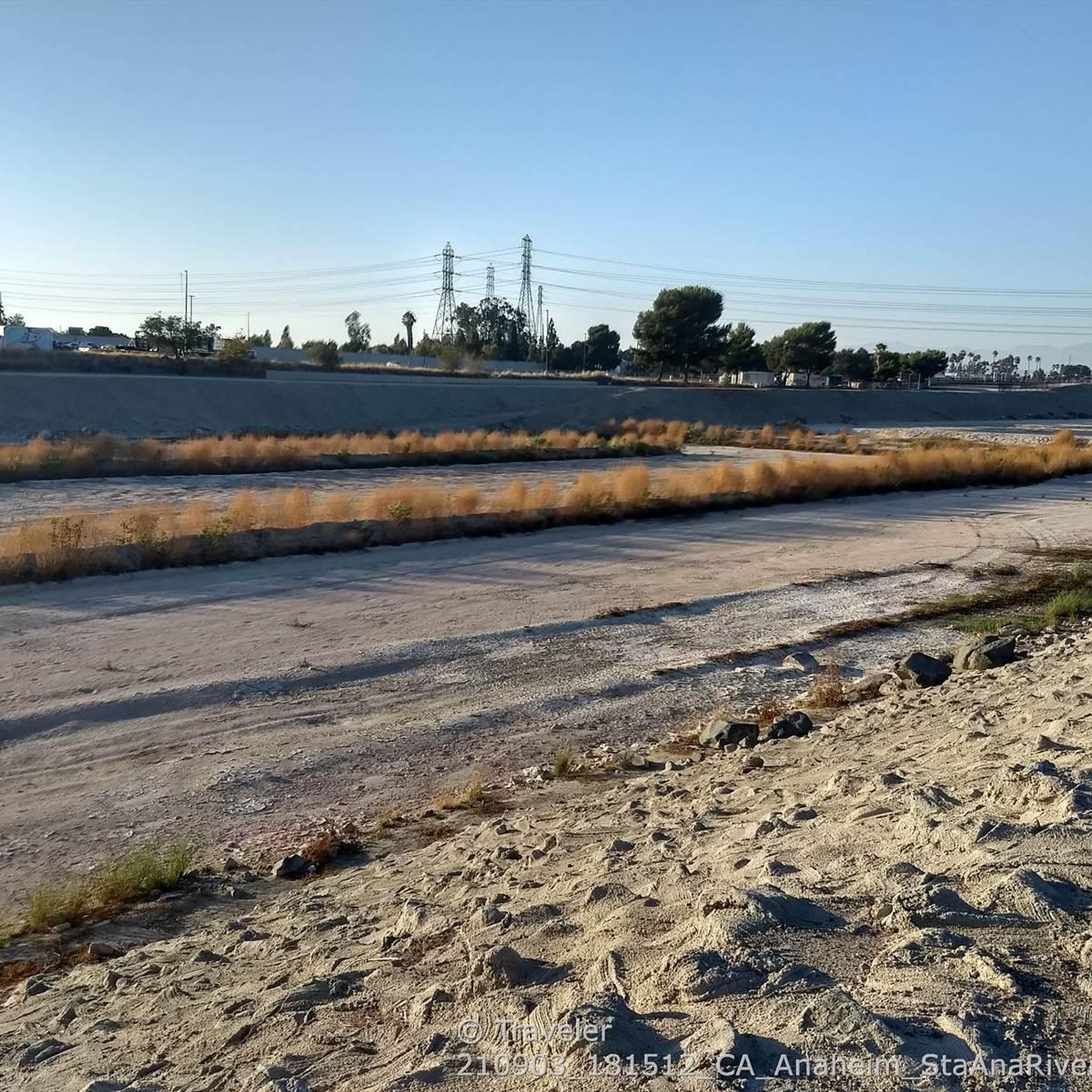
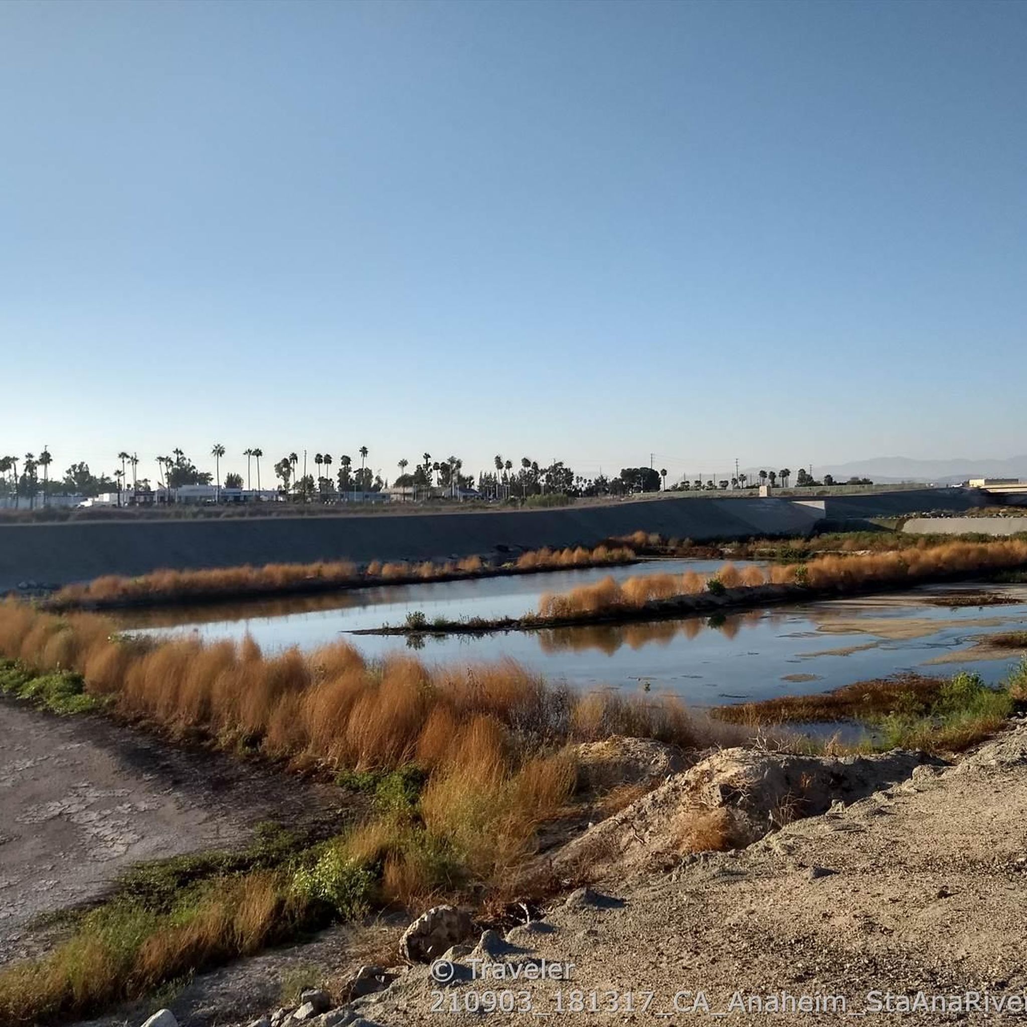
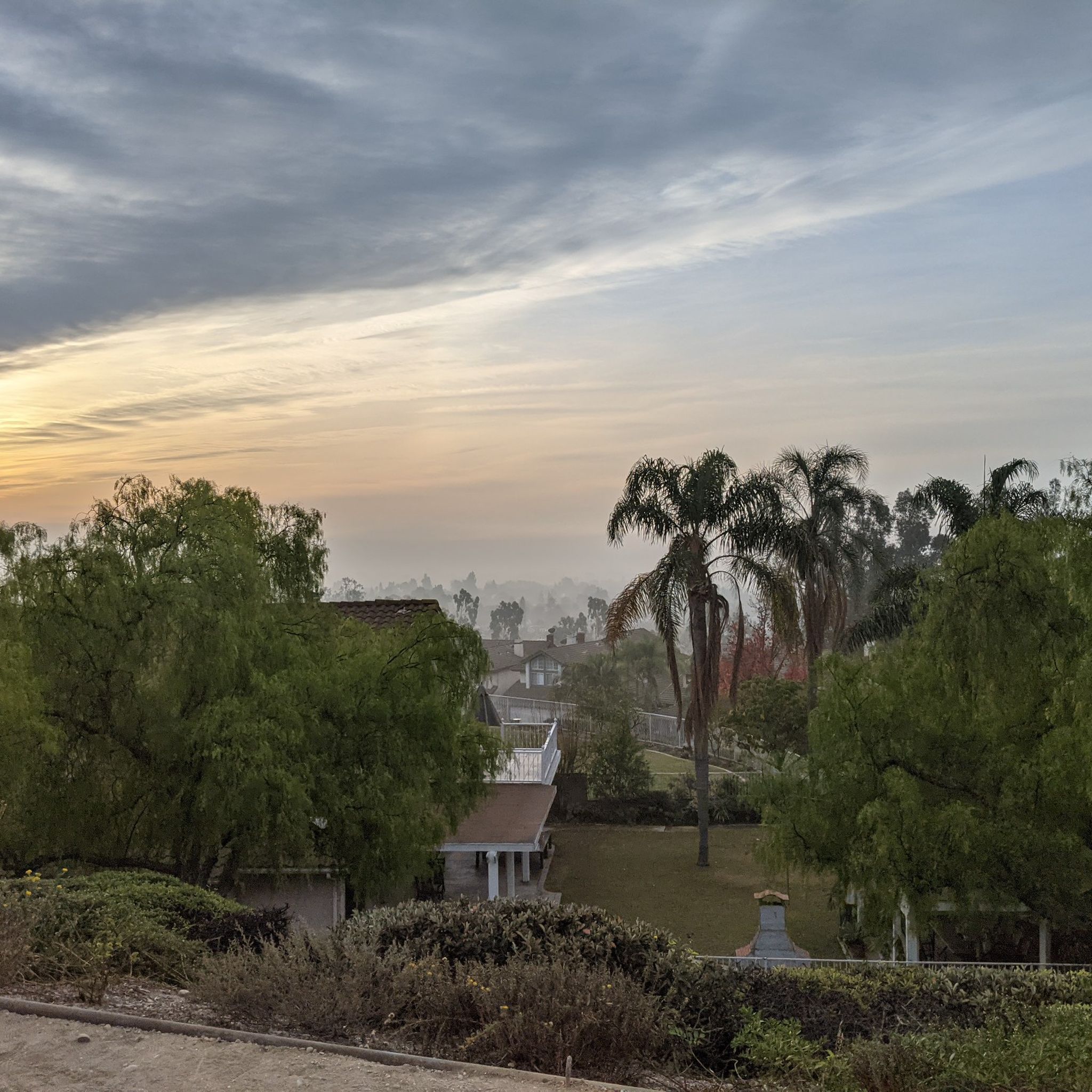

Tips from the Community


Limited cars use the roads so it is nice to get away from traffic
0
0
Not a bad trail. Super smooth and free of cars and gravel
0
0

With its charming bridges and palm tree-lined lanes, Naples Island provides the perfect blend of nature and neighborhood charm right in the heart of Long Beach. During December, Naples Island becomes very festive with holiday lights and decorations lining the palm tree-lined lanes of this charming neighborhood.
0
0

Ride through Turnbull Canyon and be rewarded with stunning views of Los Angeles County and surround yourself with a mix of natural beauty and historical intrigue. The road climbs with an average gradient of 5.2%, gaining 775 feet in elevation and peaking at 1,161 feet. Be cautious of fast-driving vehicles on the winding roads.
1
0

The trail is part paved concrete and part packed dirt, and takes you through a series of parks along the San Gabriel River. The trail runs for a mile and a half and is interrupted by only two road crossings.
0
0

be cautious, lots of young fast and furious wannabe racers out on the canyon at all hours of the day. listen to your surroundings. be safe
0
0
Frequently Asked Questions
How many road cycling routes are available in Buena Park?
Buena Park offers a wide selection of road cycling routes, with over 60 routes available for exploration. These routes cater to various preferences, from easy spins to more challenging rides.
What kind of terrain can I expect on road cycling routes around Buena Park?
Road cycling routes in Buena Park feature a diverse landscape, combining urban green spaces with natural sections. You can expect varied terrain, including paths with eucalyptus shade, views of the West Coyote Hills, and rewarding vistas of distant mountains and hills. Routes often connect to extensive regional trail networks like the San Gabriel River Trail.
Are there road cycling routes for different skill levels in Buena Park?
Yes, Buena Park offers routes for all skill levels. There are 27 easy routes perfect for a relaxed ride, 34 moderate routes for those seeking a bit more challenge, and 3 difficult routes for experienced cyclists looking for a demanding workout.
What scenic views or natural features can I expect on road cycling routes in Buena Park?
Many routes offer scenic views of urban green spaces and natural features. For instance, the Hawks Pointe to Laguna Lake loop provides varied terrain and lake views. You can also find routes that pass through or near areas like Ralph B. Clark Regional Park, offering a pleasant ride through greenery, or connect to the San Gabriel River Trail, which can lead to coastal destinations.
Are there any specific points of interest along the major cycling paths like the Coyote Creek Bikeway?
The Coyote Creek Bikeway, also known as the Coyote Creek Cycleway, offers a dedicated path from Buena Park to La Habra. While specific points of interest vary, the bikeway itself provides a pleasant outdoor experience through urban green spaces. Connecting to the San Gabriel River Trail can lead to more extensive views and even coastal access.
Are there any good loop road cycling routes in Buena Park?
Absolutely. A popular loop is the Hawks Pointe to Laguna Lake loop, an easy 11.9-mile ride offering varied terrain and lake views. For a more extensive option, the Carbon Canyon Regional Park – View of Anaheim loop from Buena Park provides a challenging 82.7-kilometer ride with significant elevation changes.
Where can I find challenging road cycling routes in Buena Park?
For a challenging ride, consider the Carbon Canyon Regional Park – View of Anaheim loop from Buena Park. This route spans over 82 kilometers and features more than 1000 meters of elevation gain, making it one of the more demanding options in the area.
Are there easy road cycling routes suitable for beginners in Buena Park?
Yes, beginners can enjoy routes like the Hawks Pointe to Laguna Lake loop. This easy 11.9-mile path offers varied terrain and lake views through urban green spaces, making it a great option for those new to road cycling or looking for a relaxed ride.
Is parking available near road cycling routes in Buena Park?
Many of Buena Park's cycling routes are accessible from various parks and trailheads, where parking facilities are typically available. For example, regional parks like Ralph B. Clark Regional Park and El Dorado East Regional Park, which connect to cycling networks, usually offer parking for visitors.
What do other road cyclists enjoy the most about road cycling in Buena Park?
The road cycling routes in Buena Park are highly rated by the komoot community, with an average score of 4.9 stars from over 80 reviews. Cyclists often praise the diverse landscape, which combines accessible urban parks with extensive trail systems, offering both shaded natural sections and expansive views of distant mountains.
Are there any long-distance road cycling routes that connect to other areas?
Yes, Buena Park's trail networks connect to broader regional systems. The San Gabriel River Trail – Huntington State Beach loop from Camp Snoopy Depot is a prime example, offering a 90.6-kilometer ride that leads towards coastal destinations. Another option is the OC Loop, which is part of an extensive regional network connecting to various parts of Orange County.
Can I find routes that offer views of lakes or water features?
Certainly. The Hawks Pointe to Laguna Lake loop specifically highlights lake views. Additionally, routes that pass through or near Laguna Lake or connect to the San Gabriel River Trail, which eventually leads to coastal areas, will offer water-related scenery.
What is the best time of year for road biking in Buena Park?
Buena Park generally offers pleasant cycling conditions for much of the year. While specific seasonal conditions can vary, the mild Southern California climate means that spring and fall are often ideal for road biking, with comfortable temperatures. Summer can be warm, so early morning or late afternoon rides are often preferred.
Most popular attractions around Buena Park

Get inspired with the komoot mobile app


Explore more
Browse the best Road cycling routes in other regions.
