The best walks and hikes around Pleasanton
4.8
(71)
1,085
hikers
24
hikes
Hiking around Pleasanton offers routes through rolling hills, oak woodlands, and open grasslands. The area features extensive trail systems, particularly within Pleasanton Ridge Regional Park and Augustin Bernal Community Park. Many trails climb to ridgetops, providing views across the Livermore and Pleasanton Valleys. This diverse terrain makes Pleasanton a destination for nature lovers.
Best hiking trails around Pleasanton
- The most popular hiking route is Ken Mercer Sports Park Loop, a 2.1 miles (3.4 km) trail that takes 51 minutes to complete. This easy loop is suitable for families and offers a peaceful outdoor experience.
- Another top favourite among local hikers is Courdet, North Ridge, Mariposa, Sinbad Creek, Turtle Pond Loop, a moderate 6.2 miles (10.0 km) path. This route combines ridgetop sections with descents through oak-wooded creek areas.
- Local hikers also love the Valley View, Ridgeline, and Sinbad Creek Trail Loop, a 8.0 miles (12.9 km) trail leading through varied terrain, often completed in about 3 hours 42 minutes.
- Hiking around Pleasanton is defined by ridgetop trails, open grasslands, and oak woodlands. The trail network provides options for various fitness levels, from shorter loops to more challenging routes with significant elevation gain.
- The routes in Pleasanton are highly rated by the komoot community with an average score of 4.9 stars from over 50 reviews. More than 800 hikers have used komoot to explore Pleasanton's varied terrain.
Last updated: September 27, 2026
11
hikers
3.42km
00:52
0m
10m
The Ken Mercer Sports Park Loop offers a wonderfully accessible and serene experience, guiding you through lush greenery and past large oak trees and vast grasslands. The paths are smooth and well-maintained, consisting of pavement, asphalt, and decomposed granite, creating a pleasant surface for a leisurely walk. This easy 2.1-mile (3.4 km) route, with its minimal 16 feet (5 metres) of elevation gain, is perfect for a quick 51-minute exercise session or a relaxing stroll.
Planning your visit to the Ken Mercer Sports Park Loop is straightforward, as it's integrated within a large community sports complex in Pleasanton. Parking is readily available, and you'll find convenient amenities like restrooms and picnic areas on site. The wide walkways are also very dog-friendly, and the park maintains a positive vibe, rarely feeling overly crowded, making it a great option for an impromptu outing.
What truly sets this trail apart is its seamless integration into an active community hub, offering more than just a walk. Beyond the peaceful paths, the park boasts extensive facilities including baseball fields, soccer fields, basketball courts, volleyball courts, a skateboard track, and playgrounds. This makes it an excellent location for families and individuals seeking an enjoyable outdoor activity with plenty of options for recreation.
10
hikers
2.74km
00:48
60m
90m
The Preserve Trail Loop offers an easy hiking experience through the scenic Gold Creek Open Space in Pleasanton, California. As you follow the path, you will find yourself amidst rolling hills and classic oak woodlands, providing open views of the surrounding landscape. This pleasant route covers 1.7 miles (2.7 km) with a gentle elevation gain of 202 feet (61 metres), making it a perfect choice for a quick outdoor escape that takes about 47 minutes to complete.
Planning your visit to the Preserve Trail Loop is straightforward. You can typically find general parking available at the Gold Creek Open Space trailhead, making it convenient for a spontaneous outing. There are no specific permits or fees required to enjoy this trail. However, it is always a good idea to check local conditions before you head out, especially if there has been extreme weather recently.
This family-friendly trail provides a tranquil setting, allowing you to connect with nature away from the city's hustle and bustle. It is particularly well-suited for beginner hikers or anyone looking for a peaceful walk. The Preserve Trail Loop stands out in the region for its accessible beauty and the serene atmosphere it offers within the natural environment of the open space.

6
hikers
3.51km
01:14
310m
10m
Embark on the Courdet Trail for a moderate hiking experience that winds through the varied landscapes of Pleasanton Ridge Regional Park. This route spans 2.2 miles (3.5 km) and involves a significant elevation gain of 1013 feet (309 metres), typically taking around 1 hour and 13 minutes to complete. As you ascend, you will encounter open grasslands giving way to shaded groves, offering a dynamic visual journey with panoramic views of the East Bay hills and distant peaks as your reward.
To make the most of your visit, consider hiking the Courdet Trail from late spring through early fall, when the weather is most favorable and the seasonal wildflowers are in bloom. Starting your hike in the early morning or late afternoon is ideal for spotting local wildlife and capturing the landscape during the golden hour. The trail is accessible for various activities, so be prepared to share the path with cyclists and horseback riders.
The Courdet Trail stands out for its vibrant seasonal wildflower displays, which add a splash of color to the journey, especially in spring. The trail provides a solid workout while immersing you in the natural beauty of the region. It offers excellent opportunities for photography, particularly from its higher vantage points overlooking the surrounding hills.
2
hikers
12.9km
03:43
400m
190m
Hike the moderate 8.0-mile Valley View, Ridgeline, and Sinbad Creek Trail Loop through diverse landscapes and panoramic views.
2
hikers
10.0km
03:09
510m
180m
Embark on a moderate hiking adventure through the Courdet, North Ridge, Mariposa, Sinbad Creek, Turtle Pond Loop, a diverse route spanning 6.2 miles (10.0 km). You'll experience a significant climb up to Pleasanton Ridge, where spectacular views over Pleasanton await. The trail then descends into a peaceful interior valley, guiding you through dense oak woodlands, open grassy hillsides, and meadows. A highlight is the Turtle Pond Trail, which offers great views as it climbs an open hillside towards its namesake small pond. This loop involves a total elevation gain of 1674 feet (510 metres) and typically takes around 3 hours and 9 minutes to complete, offering a solid workout amidst varied scenery.
To begin your hike, head to the Castleridge entrance, a popular and scenic starting point for exploring Pleasanton Ridge Regional Park since its opening in 2018. While there are no specific warnings about snow, closures, or permits for this route, you should be prepared for varied terrain. Always account for sun exposure, especially when traversing the open hillsides along the trail. Consider starting your hike earlier in the day to enjoy cooler temperatures and avoid the midday sun.
This loop is an excellent way to experience the varied ecosystems of Pleasanton Ridge Regional Park, transitioning from high ridge views to secluded valleys. You will traverse trails like Sinbad Creek and Mariposa, which wind through dense oak woodlands and expansive meadows. The route provides a comprehensive overview of the park's natural beauty, showcasing its diverse landscapes and offering a rewarding outdoor experience for hikers.
Get access to more routes and recommendations from other explorers.
Already have an account?
Our route recommendations are based on thousands of hikes, rides, and runs completed by other people on komoot.
Start today with a free account
Your next adventure awaits.
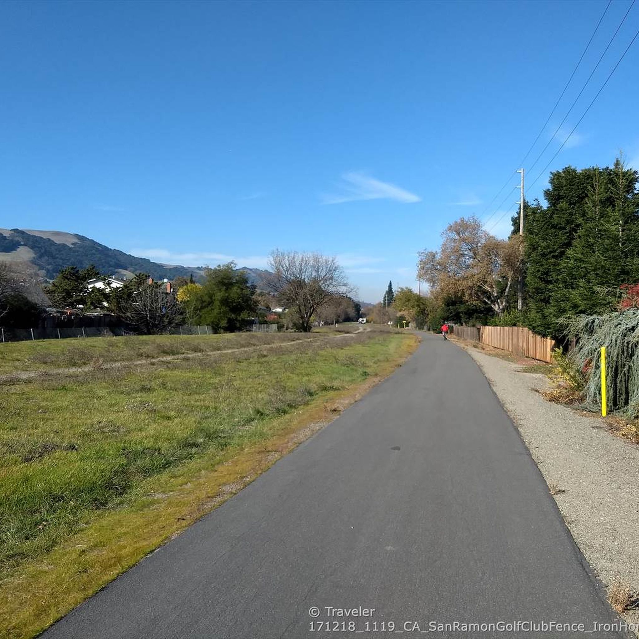
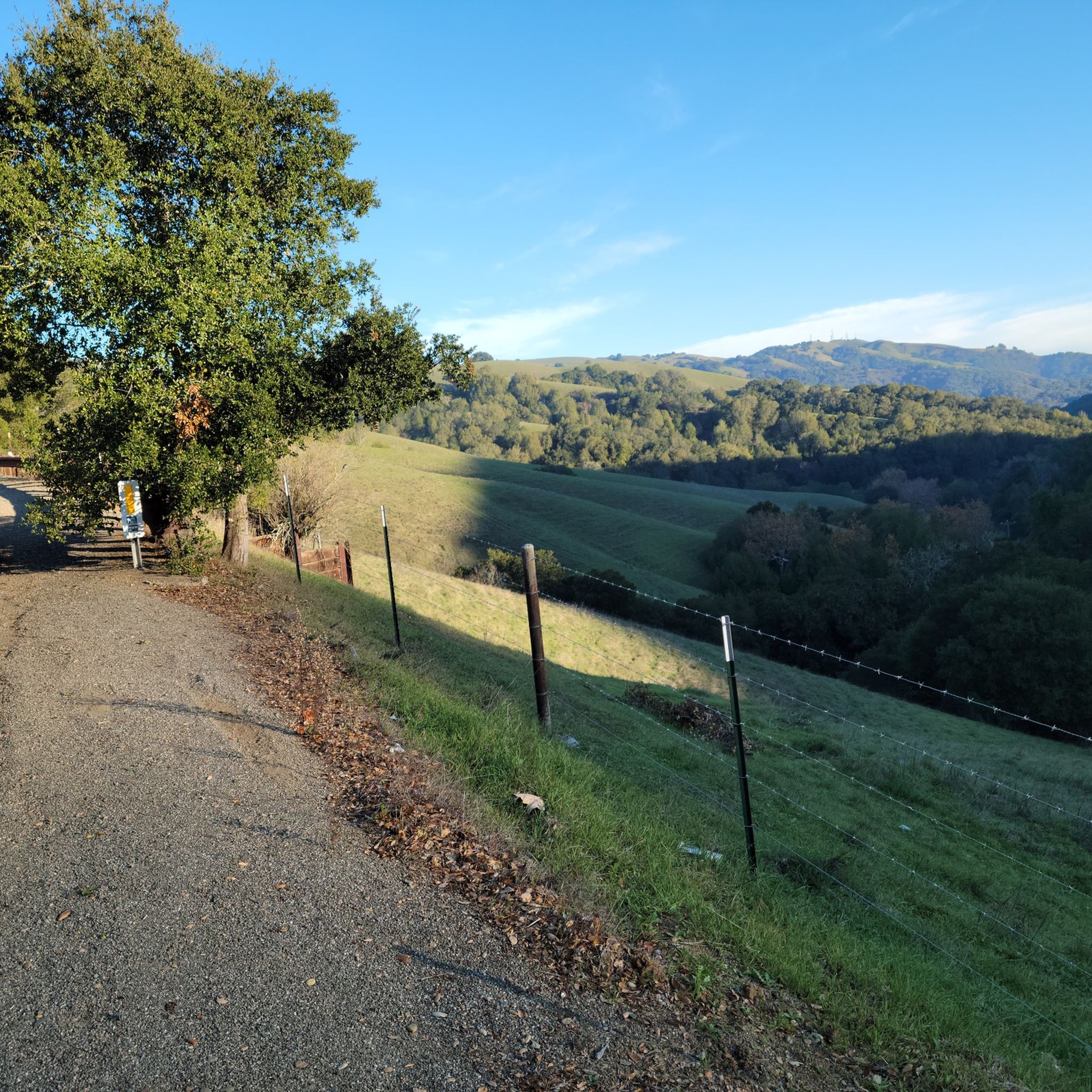
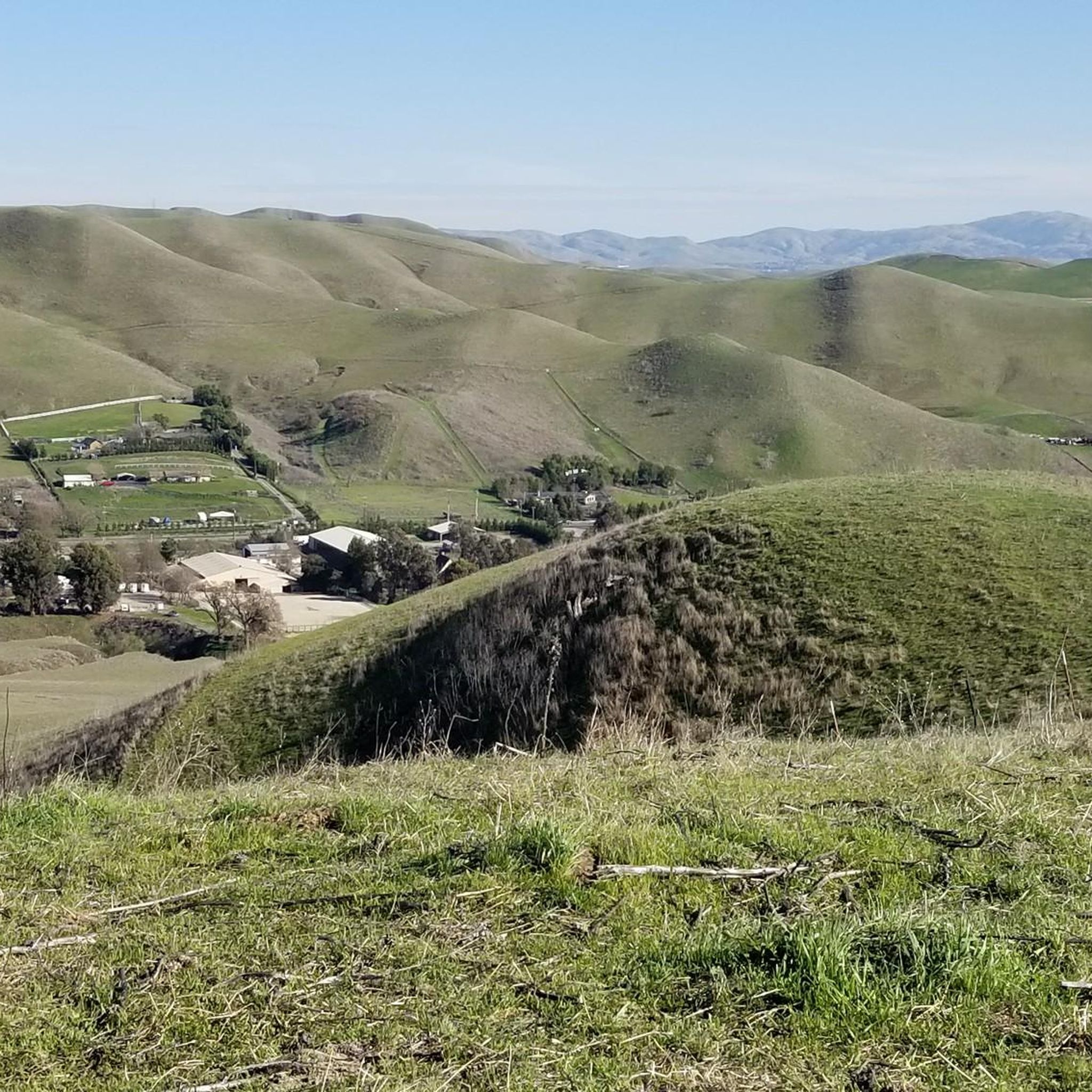
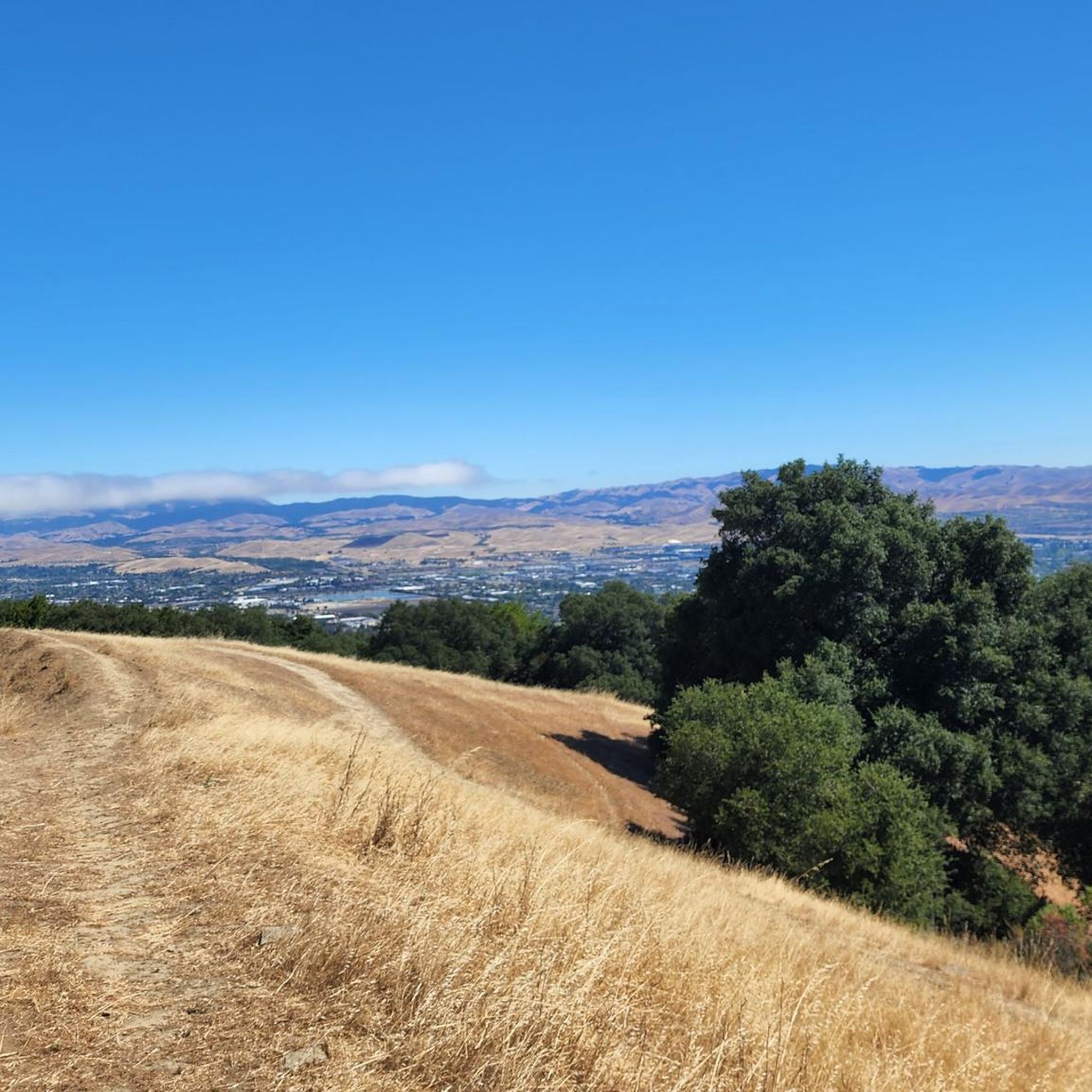

Tips from the Community

Pleasanton Ridge Regional Park spans over 9,000 acres of forested ridge and features several viewpoints that provide stunning vistas of the surrounding area. The park has miles of trails with significant elevation changes, reaching over 1,600 feet in some areas.
1
0

Augustin Bernal Community Park is a 237-acre park that was donated to the city of Pleasanton by Walter S. Johnson in 1971. To access this park inside a gated community, visitors must obtain a one-week permit from Pleasanton's Department of Parks and Community Services.
0
0
Augustin Bernal Community Park is a 237-acre park that was donated to the city of Pleasanton by Walter S. Johnson in 1971. To access this park inside a gated community, visitors must obtain a one-week permit from Pleasanton's Department of Parks and Community Services.
0
0
Augustin Bernal Community Park is a 237-acre park that was donated to the city of Pleasanton by Walter S. Johnson in 1971. To access this park inside a gated community, visitors must obtain a one-week permit from Pleasanton's Department of Parks and Community Services.
0
0

Augustin Bernal Community Park is a nice park in the southwest of Pleasanton, California. If features various multi-use trails that wind through rolling hills and oak woodlands. The park is a very popular location among mountain bikers.
0
0
Frequently Asked Questions
Are the hiking trails in Pleasanton dog-friendly?
Yes, many trails in the area are welcoming to dogs. Pleasanton Ridge Regional Park and Augustin Bernal Park generally allow dogs, but they must be on a leash in developed areas like parking lots and picnic sites. Once on the trails, they may be off-leash if they are under reliable voice control. Always check specific park regulations before you go, as rules can vary.
What are some good, easy hikes for beginners or families in Pleasanton?
For a gentle and scenic walk, the area around the lake at Shadow Cliffs Regional Recreation Area is an excellent choice. The paths are relatively flat and offer pleasant views of the water. Another option is to explore the lower elevation trails in Sycamore Grove Park, which are known for being peaceful and accessible.
Where can I find challenging hikes with significant elevation gain?
For a more strenuous workout, head to Pleasanton Ridge Regional Park. The trails here climb over 1,600 feet to the ridgetop. A particularly demanding route is the View of Pleasanton Ridge loop from Pleasanton, which involves a steep ascent but rewards you with panoramic views of the valley.
What is the best time of year for hiking in Pleasanton?
Spring is a spectacular time to hike in Pleasanton, as the hills are green and covered in wildflowers like poppies and lupine. Autumn and winter offer cooler, pleasant hiking weather. Summers can be very hot and dry, so if you hike during this time, it's best to go early in the morning and bring plenty of water, as many ridge trails are exposed with little shade.
Are there any circular or loop trails available?
Yes, Pleasanton has several great loop trails. This allows you to enjoy a variety of scenery without backtracking. A great example in Augustin Bernal Park is the Augustin Bernal Park Entrance – Ridgeline Trail loop from Pleasanton. It provides a solid workout with beautiful views over approximately 4.8 miles.
Where are the main access points or trailheads for Pleasanton Ridge Regional Park?
The main and most popular entrance is the Castleridge Trailhead, located off Foothill Road. This provides direct access to the Ridgeline Trail and other routes heading up to the ridge. There are other access points, but Castleridge is the primary staging area with parking.
Which trails offer the best views?
For expansive, panoramic views, the trails along the main spine of Pleasanton Ridge are unmatched. From the ridgetop, you can see across the Pleasanton and Livermore Valleys with Mount Diablo in the distance. The Pleasanton Ridge viewpoint loop from Foothill High School is a great option that leads to some of the best vistas in the park.
What do other hikers enjoy most about the trails in Pleasanton?
The trail network is highly regarded by the komoot community, with an average rating of 4.9 stars. Hikers frequently praise the well-maintained trails, the stunning panoramic views from the ridges, and the beautiful mix of open grasslands and shaded oak woodlands. The sense of peaceful escape so close to the city is a commonly mentioned highlight.
How many hiking trails are there around Pleasanton?
There are over a dozen curated hiking routes available on komoot, showcasing the best of the area. These range from easy lakeside strolls to challenging ridge climbs, with 4 rated as easy, 8 as moderate, and 1 as difficult, ensuring there's a trail for every fitness level.
Where can I find a trail map for Augustin Bernal Park?
For a detailed map of the trails within Augustin Bernal Park, including its connection to Pleasanton Ridge, you can view or download a brochure from the city's official website. A helpful map is available here: Augustin Bernal Park Trail Map.
Are there opportunities for swimming or water activities near the hiking trails?
Yes, Shadow Cliffs Regional Recreation Area is the perfect spot. It's centered around an 80-acre lake that was formerly a gravel quarry. The park has a designated swimming beach, and it's also a popular spot for fishing and non-motorized boating, offering a great way to cool off after a hike.
Most popular routes around Pleasanton
Most popular attractions around Pleasanton

Get inspired with the komoot mobile app


Explore more
Browse the best Hikes in other regions.
