The best road cycling routes around Culver City
4.5
(204)
11,967
riders
184
rides
Road cycling around Culver City is characterized by a network of dedicated bike paths that connect urban areas with coastal landscapes. The region features relatively flat sections along Ballona Creek and the Pacific coast, alongside routes that include significant elevation changes in areas like the Baldwin Hills. Cyclists can access a broader network of trails, extending from the city to the Pacific Ocean and beyond. This diverse terrain provides varied experiences for road cyclists of different ability levels.
Best road cycling routes around Culver City
- The most popular road cycling route is Will Rogers State Beach – Marvin Braude Bike Trail loop from Palms, a 54.6 miles (87.9 km) trail that takes 4 hours 52 minutes to complete. This route connects urban starting points to the scenic Marvin Braude Bike Trail along the coast.
- Another top favourite among local road cyclists is Palisades Park – Santa Monica Pier loop from Venice, a moderate 19.5 miles (31.4 km) path. This route offers coastal scenery and urban cycling experiences.
- Local road cyclists also love the Muholland Drive – Melhorn Overlook loop from Culver City, a 36.3 miles (58.3 km) trail leading through varied urban and hilly landscapes, often completed in about 3 hours 18 minutes.
- Road cycling around Culver City is defined by dedicated bike paths, coastal access, and urban routes with varying elevation. The network offers options for different ability levels, from easy, flat rides to more challenging routes with significant climbs.
- The routes in Culver City are highly rated by the komoot community with an average score of 4.5 stars from over 130 reviews. More than 8,000 road cyclists have used komoot to explore Culver City's varied terrain.
Last updated: October 9, 2026
4.5
(6)
309
riders
49.4km
02:21
110m
110m
Moderate road ride. Good fitness required. Mostly well-paved surfaces and easy to ride.
267
riders
87.8km
04:51
1,320m
1,320m
Hard road ride. Very good fitness required. Mostly well-paved surfaces and easy to ride.

4.7
(3)
179
riders
Easy road ride. Great for any fitness level. Mostly well-paved surfaces and easy to ride.
71
riders
68.0km
03:24
930m
930m
Hard road ride. Very good fitness required. Mostly well-paved surfaces and easy to ride.
3.0
(1)
65
riders
Easy road ride. Great for any fitness level. Mostly well-paved surfaces and easy to ride.
Get access to more routes and recommendations from other explorers.
Already have an account?
Our route recommendations are based on thousands of hikes, rides, and runs completed by other people on komoot.
Start today with a free account
Your next adventure awaits.
Tips from the Community

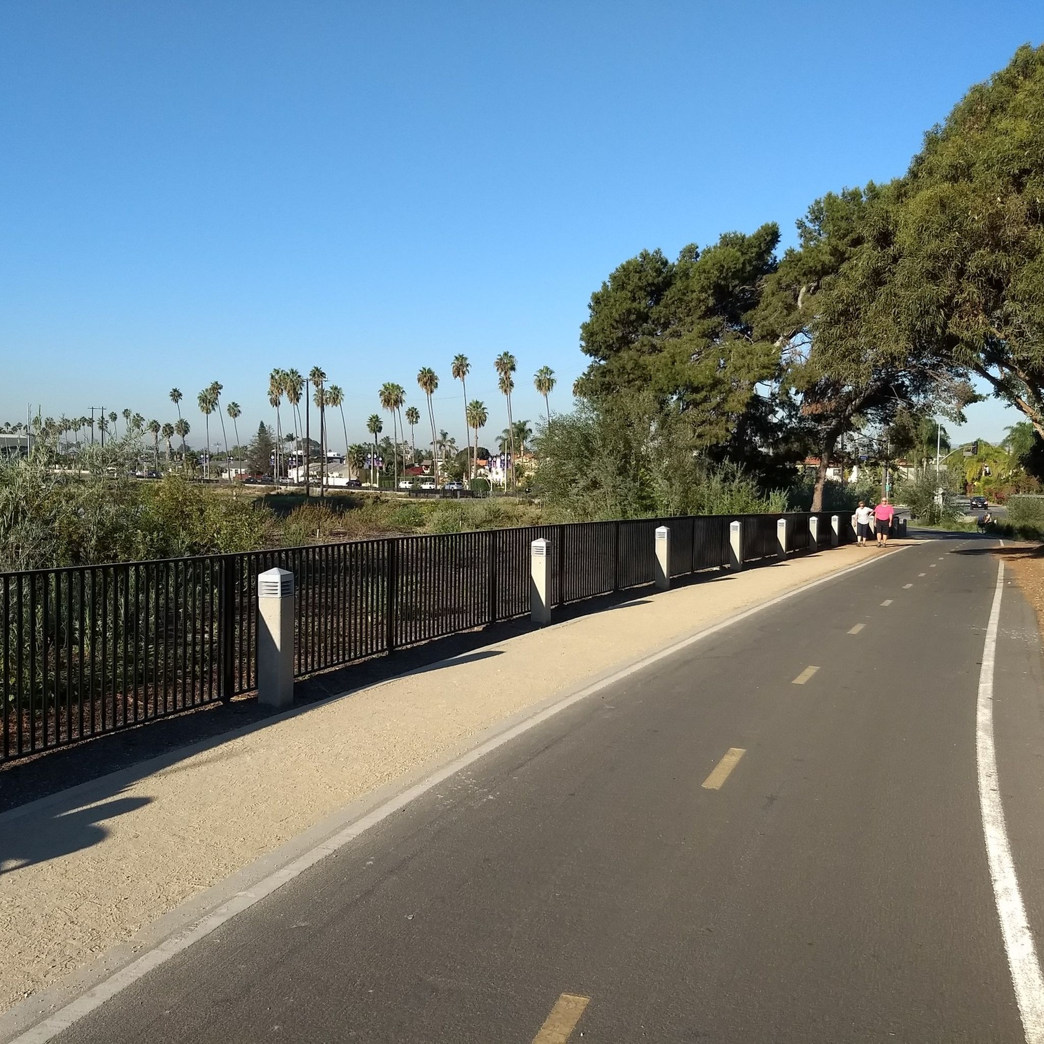
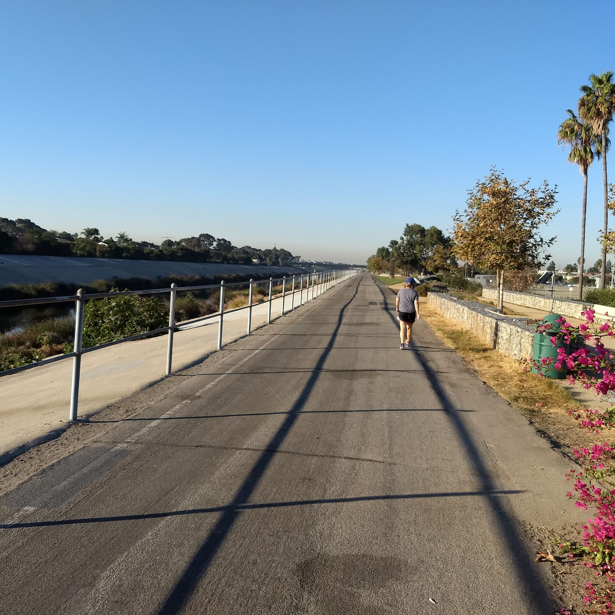
Has some bumps here and there nothing too crazy, fun ride
0
0
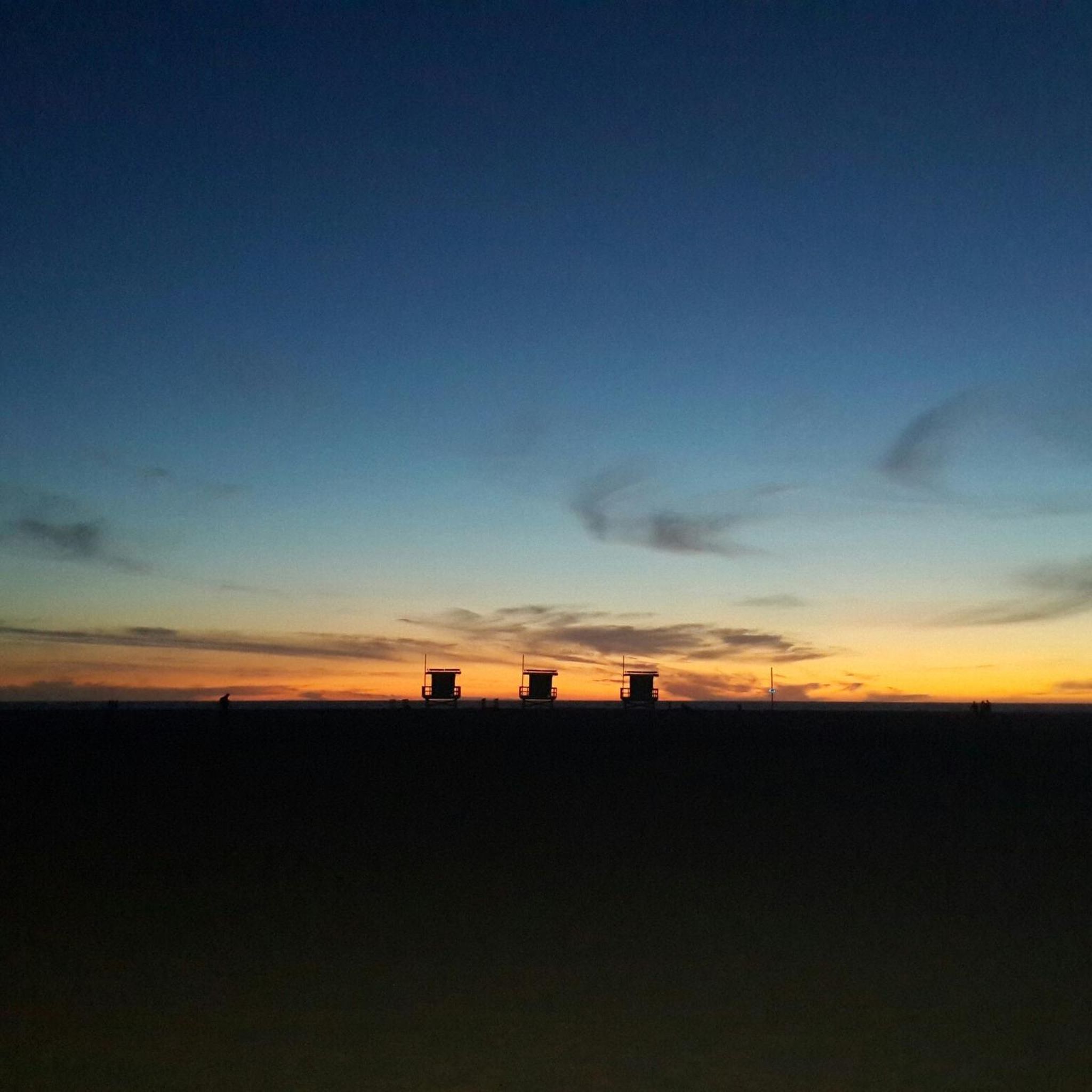
Scenic beach ride just watch for distracted walkers.
0
0

Excellent smooth concrete multi-use path, with parallel, separated biking and pedestrian lanes, marked for separate directions of travel. Wide enough for relaxed skating along the long beach, with many options to stop for breaks in parks or cafés.
1
0
Long stretch of car-free public beachfront, only accessible by an excellent bike/pedestrian boardwalk trail.
0
0

This is a great place to have a quick rest to take in the view over Santa Monica and its famouse pier.
0
0

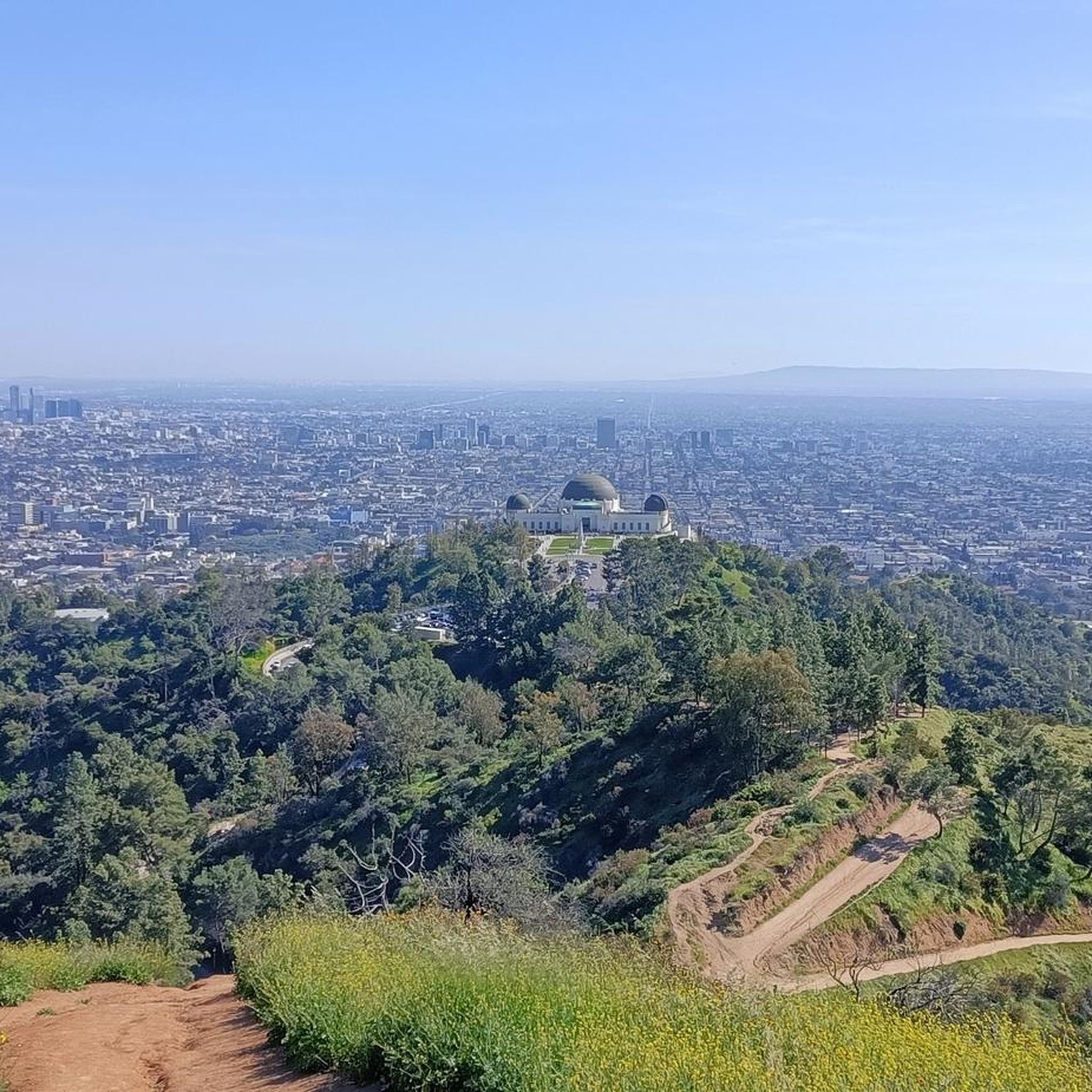
Griffith's iconic Observatory is southern California's gateway to the cosmos. This hugely popular venue is the most visited observatory in the world. Since opening in 1935, the Observatory has welcomed over 85 million visitors. It is also 1,134 feet above sea level and is visible from most parts of the city it also has some of the best views of downtown Los Angeles and in particular the world-famous Hollywood Sign.
1
0
Frequently Asked Questions
What types of road cycling routes can I find in Culver City?
Culver City offers a diverse range of road cycling routes, from relatively flat paths along creeks and the coast to more challenging rides with significant elevation changes in hilly landscapes. You'll find options suitable for all fitness levels, including easy, moderate, and difficult routes.
Are there any easy, family-friendly road cycling routes in Culver City?
Yes, for an easy and family-friendly option, consider routes that utilize the Ballona Creek Bike Path. This path is mostly flat and paved, offering a scenic ride along the Ballona Creek watershed. An example is the Ballona Creek Bike Path – Rivers of the World Mural wall loop from Alsace, which is rated as easy.
What are some scenic landmarks or points of interest I can see while cycling in Culver City?
Many routes offer scenic views and points of interest. Along the Ballona Creek Bike Path, you can see local murals and learn about the ecosystem. For panoramic views of the Los Angeles Basin and the Pacific Ocean, the Baldwin Hills Scenic Overlook is a notable feature. You might also encounter the Ballona Wetlands Ecological Reserve, or even reach the Santa Monica Pier and Ocean Front Walk on coastal routes.
How can I access road cycling routes in Culver City using public transport?
Culver City's cycling infrastructure is well-integrated with public transport. The Expo Bike Path runs parallel to the Metro Expo Line, providing convenient connections from the Ballona Creek Bike Path to various Metro stations. This makes it easier to combine your ride with public transit.
Are there any challenging road cycling routes for experienced riders?
Absolutely. For experienced riders seeking a challenge, routes like the Will Rogers State Beach – Marvin Braude Bike Trail loop from Palms or the Muholland Drive – Melhorn Overlook loop from Culver City offer significant elevation changes and longer distances. The 'donut loop' in Palos Verdes, accessible via the Marvin Braude Bike Trail, is also known for its climbs and impressive views.
What is the best time of year to go road cycling in Culver City?
Road cycling in Culver City is enjoyable year-round due to Southern California's mild climate. However, spring and fall generally offer the most pleasant temperatures, avoiding the hotter summer months and potential winter rains. Always check local weather forecasts before heading out.
Where can I find parking for road cycling routes in Culver City?
Many of the major bike paths and parks in and around Culver City offer parking facilities. For routes connecting to the Ballona Creek Bike Path or the Marvin Braude Bike Trail, look for parking near trailheads or in adjacent public lots. Specific parking information can often be found on individual route pages or local park websites.
What do other road cyclists enjoy most about road cycling in Culver City?
The area is highly rated by the komoot community, with an average score of 4.6 stars from over 170 reviews. Reviewers often praise the well-connected network of dedicated bike paths, the diverse terrain offering both flat coastal rides and challenging climbs, and the scenic views that combine urban landscapes with natural beauty.
Are there any loop routes available for road cycling in Culver City?
Yes, many road cycling routes in Culver City are designed as loops, allowing you to start and end at the same point. Examples include the Manhattan Beach and Pier – El Segundo Beach loop from Culver City, which offers coastal scenery, and the Griffith Observatory – Mount Hollywood Drive loop from Culver City for a more challenging ride.
Are there any specific permits required for road cycling in Culver City?
Generally, no special permits are required for road cycling on public roads and designated bike paths in Culver City. However, it's always a good idea to check for any specific regulations if you plan to cycle through private property or certain protected natural areas. Always adhere to local traffic laws and cycling etiquette.
Can I find places to eat or drink near the road cycling routes?
Yes, Culver City and the areas connected by its bike paths offer numerous amenities. Along the Ballona Creek Bike Path, you'll find various cafes and restaurants in nearby neighborhoods. Coastal routes connecting to the Marvin Braude Bike Trail also provide access to dining options in beach cities like Manhattan Beach and Santa Monica.
Most popular routes around Culver City
Most popular attractions around Culver City

Get inspired with the komoot mobile app


Explore more
Browse the best Road cycling routes in other regions.
