The best road cycling routes around Whittier
4.7
(42)
1,465
riders
12
rides
Road cycling around Whittier is characterized by its urban and suburban landscapes, featuring a network of river trails and greenways. The region offers routes that traverse flat riverbeds and green spaces, alongside options that include more significant elevation gains through local hills. These paths provide access to varied terrain, from paved multi-use trails to roads with views of the surrounding area.
Best road cycling routes around Whittier
- The most popular road cycling route is San Gabriel River Trail – El Dorado East Regional Park loop from West Whittier, a 30.0 miles (48.3 km) trail that takes 2 hours 38 minutes to complete. This moderate route follows the San Gabriel River, offering a consistent paved surface.
- Another top favourite among local road cyclists is Bosque del Rio Hondo – Rio Hondo Greenway loop from West Whittier, an easy 21.1 miles (34.0 km) path. This route provides a flat ride along the Rio Hondo Greenway, suitable for various fitness levels.
- Local road cyclists also love the View of Los Angeles – Puente Hills Preserve loop from Whittier, a 28.5 miles (45.8 km) trail leading through the Puente Hills Preserve, often completed in about 2 hours 31 minutes.
- Road cycling around Whittier is defined by river greenways, urban parklands, and local hills, offering a mix of flat, paved paths and routes with notable elevation changes. The network provides options for both casual rides and more challenging training sessions.
- The routes in Whittier are highly rated by the komoot community with an average score of 4.8 stars from over 20 reviews. More than 800 road cyclists have used komoot to explore Whittier's varied terrain.
Last updated: September 30, 2026
20
riders
47.0km
02:17
160m
160m
Moderate road ride. Good fitness required. Mostly well-paved surfaces and easy to ride.
11
riders
29.4km
01:26
370m
370m
Moderate road ride. Good fitness required. Mostly well-paved surfaces and easy to ride.

10
riders
43.6km
02:29
710m
710m
Moderate road ride. Good fitness required. Mostly well-paved surfaces and easy to ride.
7
riders
13.7km
00:45
280m
280m
Easy road ride. Great for any fitness level. Mostly well-paved surfaces and easy to ride.
9
riders
34.9km
01:42
150m
150m
Easy road ride. Great for any fitness level. Mostly well-paved surfaces and easy to ride.
Get access to more routes and recommendations from other explorers.
Already have an account?
Our route recommendations are based on thousands of hikes, rides, and runs completed by other people on komoot.
Start today with a free account
Your next adventure awaits.
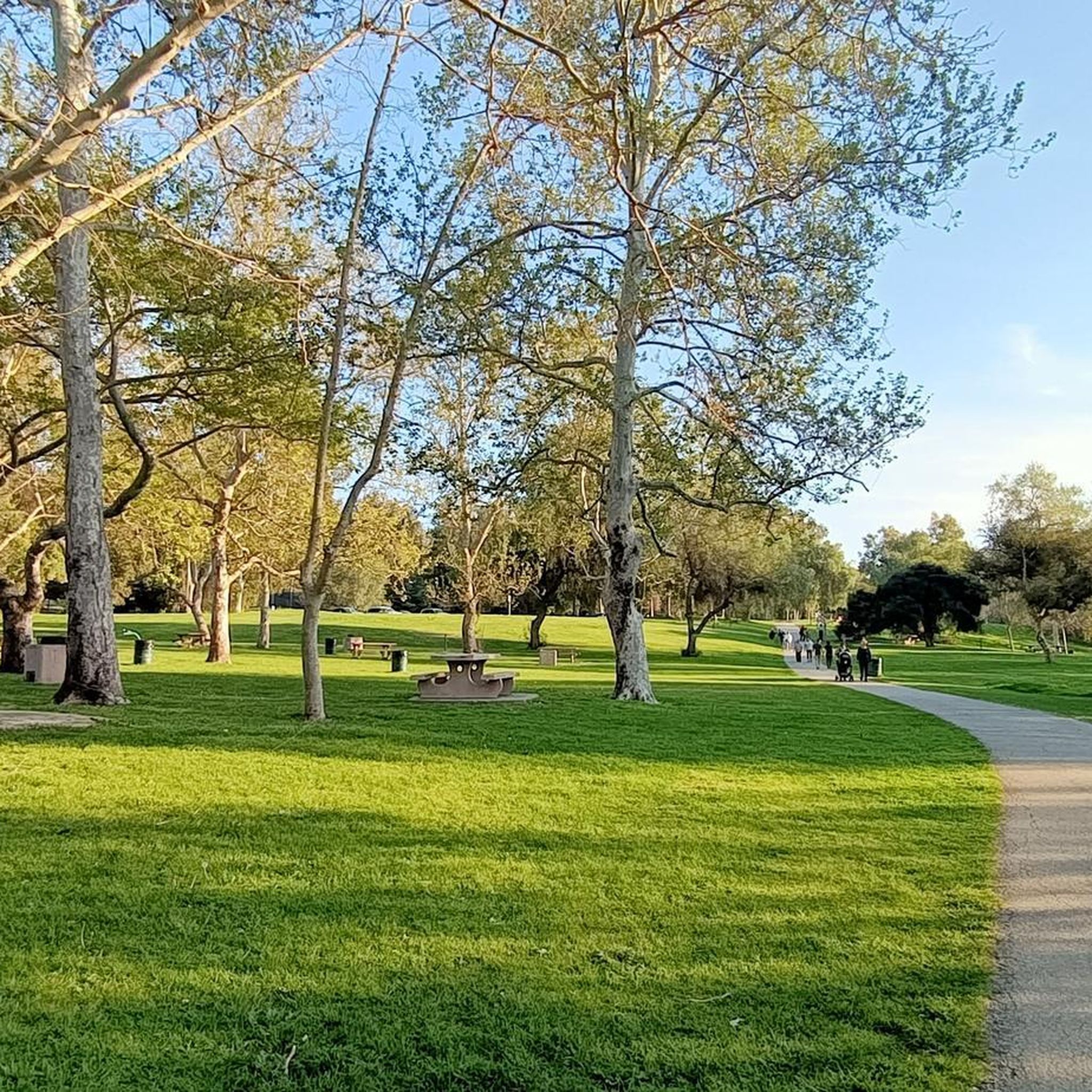

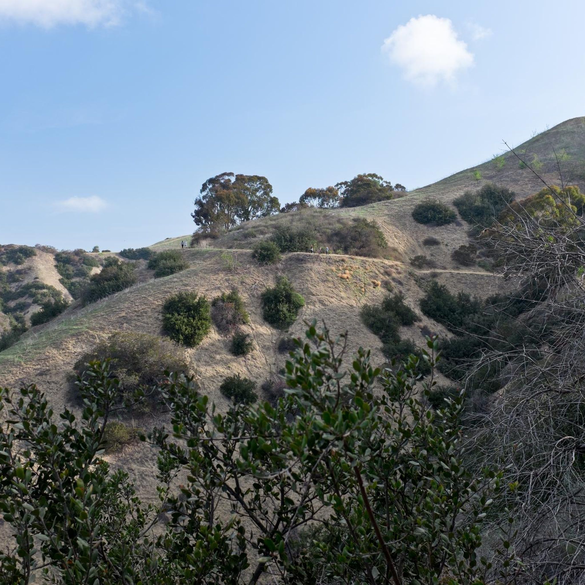
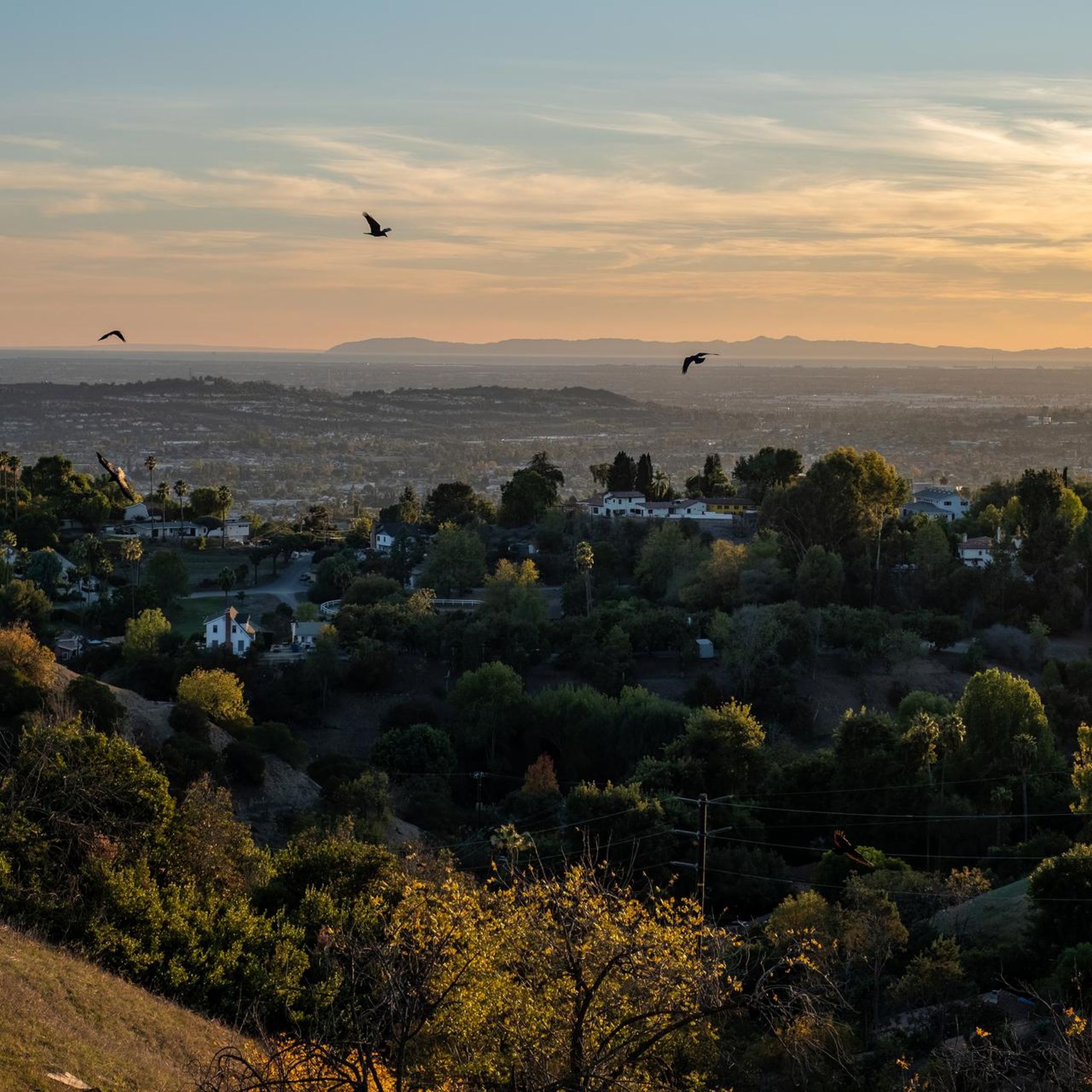
Tips from the Community

The Rio Hondo Greenway is a beautiful bike lane that follows the river that gives the trail its name. It is fully paved and flat, so it is not a challenging trail.
0
0
The San Gabriel Dam is a rock‑fill structure completed in 1939 on the San Gabriel River and is used for flood control.
0
0

Ride through Turnbull Canyon and be rewarded with stunning views of Los Angeles County and surround yourself with a mix of natural beauty and historical intrigue. The road climbs with an average gradient of 5.2%, gaining 775 feet in elevation and peaking at 1,161 feet. Be cautious of fast-driving vehicles on the winding roads.
1
0
Climbing up into La Habra Heights gives a rewarding view down into the city of Anaheim below.
1
0

There is a parking lot and restroom here at the trailhead, which provides access to a large network of paved and packed dirt trails along the beautiful Rio Hondo. The trailhead closes at sunset.
0
0

be cautious, lots of young fast and furious wannabe racers out on the canyon at all hours of the day. listen to your surroundings. be safe
0
0

As you bike near Turnbull Debris Basin, observe its crucial function in storing runoff and sediment, acting as a safeguard against downstream flooding and sedimentation, and protecting human life and property. Positioned along the canyon road en route to the Turnbull Canyon Trailhead, it plays a vital role in mitigating flood risks downstream, ensuring community safety.
0
0
As you hike near Turnbull Debris Basin, observe its crucial function in storing runoff and sediment, acting as a safeguard against downstream flooding and sedimentation, and protecting human life and property. Positioned along the canyon road en route to the Turnbull Canyon Trailhead, it plays a vital role in mitigating flood risks downstream, ensuring community safety.
0
0
Frequently Asked Questions
How many road cycling routes are available in Whittier?
There are 14 road cycling routes around Whittier, offering a variety of experiences for cyclists. These routes are highly rated by the komoot community, with an average score of 4.8 stars.
Are there easy road cycling routes suitable for beginners in Whittier?
Yes, Whittier offers 5 easy road cycling routes perfect for beginners or those seeking a relaxed ride. A great option is the Bosque del Rio Hondo – Rio Hondo Greenway loop from West Whittier, which provides a flat ride along the Rio Hondo Greenway.
What kind of terrain can I expect on road cycling routes around Whittier?
Road cycling around Whittier features a mix of urban and suburban landscapes. You'll find routes traversing flat riverbeds and greenways, such as the San Gabriel River Trail, alongside options that include more significant elevation gains through local hills like the Puente Hills Preserve. The paths range from paved multi-use trails to roads with scenic views.
Are there challenging road cycling routes with significant climbs near Whittier?
Yes, for cyclists looking for more challenging rides, routes like the View of Los Angeles – Puente Hills Preserve loop from Whittier offer notable elevation changes, with climbs exceeding 700 meters. Another challenging option is the Turnbull Debris Basin – Turnbull Canyon loop from La Serna High School, which features over 800 meters of ascent.
What are some scenic viewpoints or landmarks I can see while road cycling in Whittier?
While cycling, you can enjoy views of the surrounding mountains and urban landscapes. Routes like the View of Los Angeles – Puente Hills Preserve loop from Whittier offer panoramic vistas. You can also pass by natural features like Turnbull Canyon and the Bosque del Rio Hondo, or cross the Rio Hondo Bike Bridge.
Are there any family-friendly road cycling routes in Whittier?
Many of Whittier's routes along river greenways are suitable for families, especially the easy-grade options. The flat, paved paths of the Rio Hondo Greenway, as seen in the Bosque del Rio Hondo – Rio Hondo Greenway loop, are ideal for a family outing.
What do other road cyclists enjoy most about road cycling in Whittier?
The komoot community highly rates road cycling in Whittier, with an average score of 4.8 stars from over 20 reviews. Cyclists often praise the varied terrain, from consistent paved river trails to routes with significant elevation changes through local hills, providing options for both casual rides and challenging training sessions.
Are there loop road cycling trails around Whittier?
Yes, many of the popular road cycling routes around Whittier are loops, allowing you to start and end at the same point. Examples include the San Gabriel River Trail – El Dorado East Regional Park loop and the Turnbull Canyon – Turnbull Debris Basin loop.
What is the best time of year for road biking in Whittier?
Whittier generally offers pleasant cycling conditions for much of the year. The region's climate allows for comfortable riding outside of peak summer heat or any infrequent heavy rain periods. Checking local weather forecasts before your ride is always recommended.
Are there any lakes or natural areas to explore near the road cycling routes?
Yes, the routes often pass near or through natural areas. You can find highlights like Bosque del Rio Hondo. Additionally, nearby attractions include Laguna Lake and Legg Lake, which are part of the broader natural landscape around Whittier.
Is it possible to access road cycling routes in Whittier using public transport?
While specific public transport connections directly to trailheads for road cycling routes are not detailed, Whittier is an urban area with public transport options. For routes like those near the Whittier Narrows Recreation Area, it's advisable to check local bus schedules for stops that might be within cycling distance of your desired starting point.
Most popular routes around Whittier
Most popular attractions around Whittier

Get inspired with the komoot mobile app


Explore more
Browse the best Road cycling routes in other regions.
