The best cycling routes around Monterey Park
4.7
(125)
1,672
riders
103
rides
Touring cycling around Monterey Park, California, primarily utilizes urban greenways and dedicated bike paths along the San Gabriel River and Rio Hondo. The city's landscape features relatively flat terrain, with some areas offering gentle inclines towards local hills. This network provides accessible routes for cyclists seeking recreational rides within the city and connecting to broader regional paths. The focus is on developed infrastructure rather than extensive natural wilderness.
Best touring cycling routes around Monterey Park
- The most popular touring cycling…
Last updated: May 18, 2026
13
riders
49.2km
02:58
170m
170m
Moderate bike ride. Good fitness required. Mostly paved surfaces. Suitable for all skill levels.

2
riders
44.6km
02:54
570m
570m
Hard bike ride. Very good fitness required. Mostly paved surfaces. Suitable for all skill levels.

Sign up for free
4.0
(2)
27
riders
Easy bike ride. Great for any fitness level. Mostly paved surfaces. Suitable for all skill levels.
5.0
(1)
11
riders
29.6km
01:46
110m
110m
Easy bike ride. Great for any fitness level. Mostly paved surfaces. Suitable for all skill levels.
5.0
(2)
16
riders
Moderate bike ride. Good fitness required. Mostly paved surfaces. Suitable for all skill levels.
Get access to more routes and recommendations from other explorers.
Sign up for free
Already have an account?
Our route recommendations are based on thousands of hikes, rides, and runs completed by other people on komoot.
Start today with a free account
Your next adventure awaits.
Login or Signup


Tips from the Community

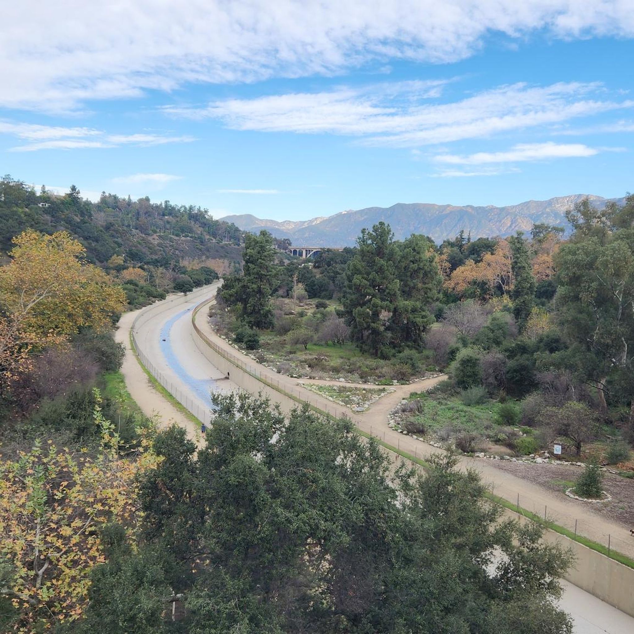
The Greenway is a paved two-lane multi-use path, which stretches for over 50 miles along the LA River.
0
0

The Rio Hondo Greenway is a beautiful bike lane that follows the river that gives the trail its name. It is fully paved and flat, so it is not a challenging trail.
0
0
The Rio Hondo Bike Bridge is an interesting structure that connects the bike trails that runs on either side of the Rio Hondo.
0
0
There is a parking lot and restroom here at the trailhead, which provides access to a large network of paved and packed dirt trails along the beautiful Rio Hondo. The trailhead closes at sunset.
0
0

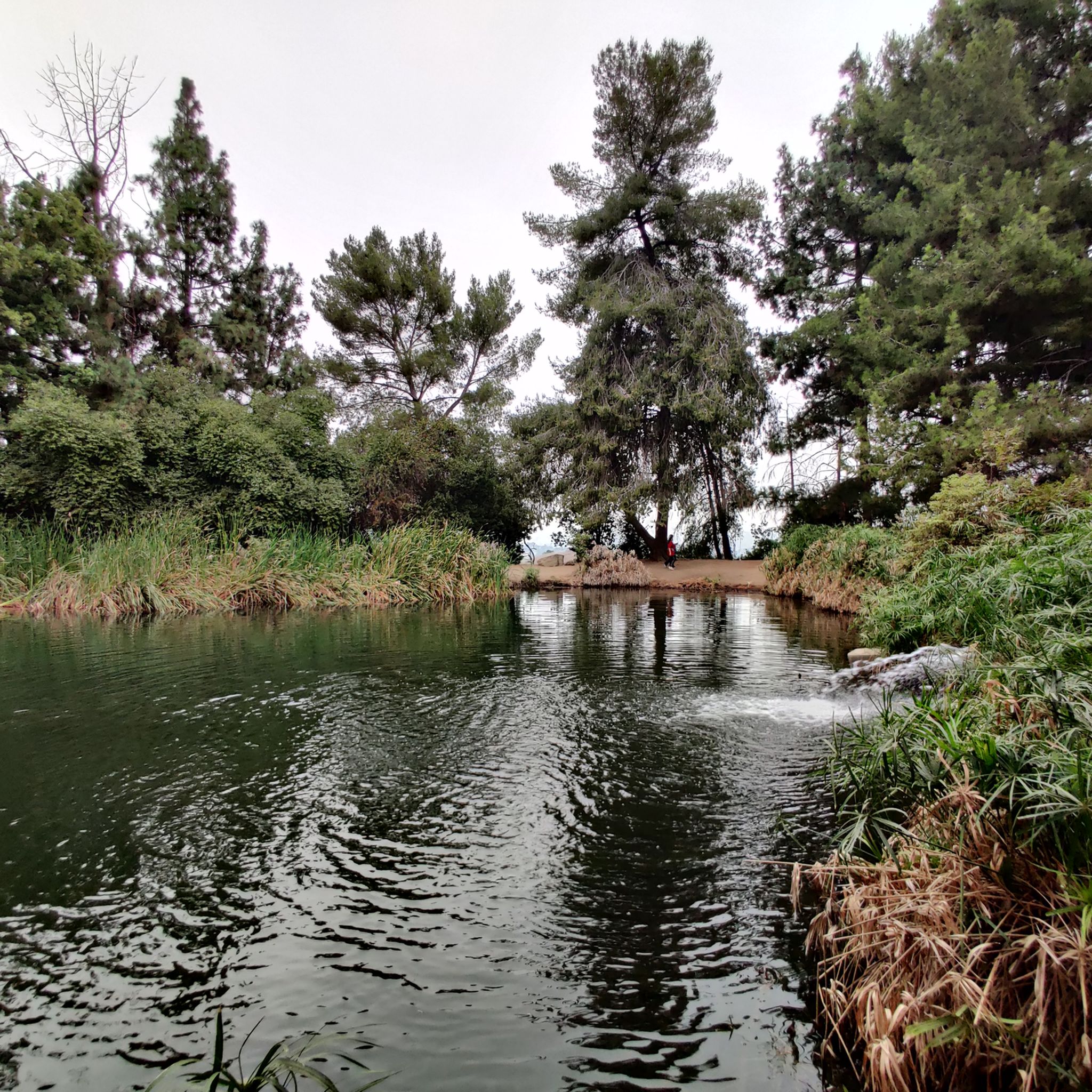
Bosque del Rio Hondo, which is Spanish for “Forest of the Deep River, is a small quaint green area just off from Whittier Arrows lakes & Recreation Area. It is also abundant with wildlife and used by the public for picnics, biking and hiking because it provides access to the Rio Hondo and San Gabriel River bicycle paths.
1
0

Highly recommend cycling around LA. It's hard to believe, but the city is more bike-friendly than some cities in Germany. Riding in the footsteps of the Terminator along the LA River in particular is a lot of fun and there is also very little traffic :-)
1
0

Excellent paved dedicated bike trails along Rio Hondo, a safe car-free connection through the otherwise wall-to-wall urban landscape.
0
0
The section north-west of here is blessed with the paved Rio hondo bikeway on both sides of the river channel. One bridge at each end of the parallel section helps connect to the other side to continue riding along the river. To the south this is the East bank, to the North-East it is on the North-West bank of the river. If you pass the bridge into the dead-end section you will notice it thanks to the homeless encampment getting denser and eventually closing off the trail ...
1
0
Frequently Asked Questions
How many touring cycling routes are available in Monterey Park?
There are over 100 touring cycling routes around Monterey Park, offering a variety of options for different skill levels and preferences. These routes are highly rated by the komoot community, with an average score of 4.7 stars.
What is the general terrain like for touring cycling in Monterey Park?
Touring cycling in Monterey Park primarily utilizes urban greenways and dedicated bike paths along the San Gabriel River and Rio Hondo. The landscape is generally flat, with some areas featuring gentle inclines towards local hills, providing accessible routes for recreational rides.
Are there easy touring cycling routes suitable for beginners or families?
Yes, Monterey Park offers many easy touring cycling routes. For instance, the Rio Hondo Greenway – Bosque del Rio Hondo loop from South San Gabriel is an easy 14.9-mile trail that leads through greenway and natural areas, perfect for a relaxed ride. Many routes are paved and separated from vehicle traffic, making them suitable for families.
Are there challenging routes for experienced touring cyclists?
Absolutely. For those seeking a challenge, the Flint Peak Loop is a difficult 27.7-mile path with significant elevation gain and varied terrain. Another demanding option is the Red Car Bridge – Baum Bicycle Bridge loop from Atlantic, which spans over 47 miles with considerable elevation changes.
What kind of landmarks or points of interest can I see along the touring cycling routes?
While cycling in and around Monterey Park, you can encounter various points of interest. Notable attractions include the Walt Disney Concert Hall and The Broad for architectural and art enthusiasts. You might also cross the Historic Colorado Street Bridge or the Rio Hondo Bike Bridge. For natural features, you can find lakes like Silver Lake Reservoir and Legg Lake.
Are there circular touring routes available in Monterey Park?
Yes, many touring cycling routes in Monterey Park are designed as loops. A popular example is the Rio Hondo Greenway Loop, a 30.6-mile route that follows the scenic Rio Hondo Greenway, offering a continuous path away from vehicle traffic.
What are the parking options for accessing bike trails in Monterey Park?
Parking is generally available near the access points for the urban greenways and river paths in Monterey Park. Many local parks, such as Barnes Park and Garvey Ranch Park, offer parking facilities that can serve as starting points for your cycling tours. Specific parking details may vary by route.
Can I reach the touring cycling routes using public transport?
Monterey Park is part of the Los Angeles County public transport network. While direct access to every trail may vary, many routes, especially those along the San Gabriel River and Rio Hondo, are accessible via public transportation connections within the city and surrounding areas. It's advisable to check local bus routes for specific access points.
Are the touring cycling routes in Monterey Park dog-friendly?
While many parks and trails in the broader Los Angeles area allow dogs on leash, specific regulations can vary for dedicated bike paths and greenways within Monterey Park. It's best to check local signage or the city's recreation guidelines for the most current information regarding dog access on specific routes.
What is the best time of year to go touring cycling in Monterey Park?
Monterey Park generally enjoys a mild climate, making touring cycling enjoyable for much of the year. Spring and fall offer particularly pleasant temperatures. Summers can be warm, so early morning or late afternoon rides are recommended. Winters are typically mild, though occasional rain showers may occur.
Are there any less crowded bike paths near Monterey Park?
While the main greenways can be popular, exploring routes slightly off the most central sections of the San Gabriel River and Rio Hondo paths can offer a quieter experience. Additionally, weekday rides or venturing into less-trafficked sections of the extensive network can provide a more serene cycling environment.
Where can I find more information about Monterey Park's cycling infrastructure and plans?
For detailed information on the city's cycling infrastructure and future plans, you can refer to the official Monterey Park Bicycle Master Plan. More general recreation services are also available through the city's website. You can find more information at montereypark.ca.gov/987/Bike-Plan and montereypark.ca.gov/572/Recreation-Community-Services.
Most popular attractions around Monterey Park

Get inspired with the komoot mobile app


Explore more
Browse the best Cycling routes in other regions.
