The best walks and hikes around South El Monte
4.9
(9)
264
hikers
21
hikes
If you've ever tried to plan hiking around South El Monte, you know how quickly the options can feel overwhelming. Sifting through countless trails to find the ones genuinely worth your time and effort can be a real pain, making it hard to tell the highlights from the filler. That's where we come in. Our komoot community has mapped, walked, and reviewed these routes, and we've distilled all that local knowledge into a curated shortlist designed to save you the guesswork.
So, what's hiking around South El Monte actually like? Expect a landscape defined by rolling hills, lush riparian corridors, and chaparral-covered slopes, often opening up to expansive views of the San Gabriel Valley. The region's extensive park systems, like the Whittier Narrows Recreation Area, offer a diverse range of trails, from easy strolls to more demanding climbs. Thanks to its Mediterranean climate, South El Monte is an ideal destination for year-round outdoor adventures.
If you only do one hike, we'd point you straight to Nike Hill. This 2.0-mile (3.2 km) route is an easy win, offering a significant climb of over 878 feet (267 m) for a rewarding workout and great views. For a longer, more tranquil experience, the Rio Hondo River Trail is a local favorite, with its 15.4-mile (24.8 km) path following the river. With more than 330 hikers already exploring South El Monte with komoot, you're in good company. Dive in and discover your next favorite trail!
Last updated: June 3, 2026
7
hikers
3.23km
01:04
270m
0m
The Nike Hill trail offers a surprisingly challenging yet rewarding experience, despite its easy rating. You'll gain 878 feet (268 metres) of elevation over just 2.0 miles (3.2 km) in about 1 hour and 4 minutes, primarily on an asphalt road that climbs steadily. The real draw is the breathtaking panoramic views from the summit, where you can see the Los Angeles cityscape, the Hollywood Sign, and the San Gabriel Valley on a clear day.
Planning your visit around the sun is crucial, as there's little to no shade along the route. Aim for a cool day, early morning, or late afternoon, especially if you're hiking during warmer months. Parking can fill up quickly, so arriving outside peak hours is a good strategy to secure a spot at the trailhead.
Beyond the views, Nike Hill holds a fascinating piece of Cold War history. It was once a Nike Missile site, active from 1956 to 1961, housing missiles designed to defend against bomber threats. Today, radio relay towers stand as a reminder of its past, adding a unique historical layer to your hike up this popular South El Monte/Whittier landmark.
914m
00:16
20m
20m
The Edison Trail in Monterey Park offers a straightforward and very accessible experience, ideal for a quick outdoor break. This beginner-friendly path features short, gentle inclines, providing a pleasant walk even if the primary views are of the surrounding houses. It's a perfect spot for a brief Edison Trail hiking excursion, especially if you're looking for a dog-friendly route.
Planning your visit to the Edison Trail is simple, as it's a local park trail with no permits required. You'll find convenient amenities like picnic tables and restrooms, making it suitable for families or anyone needing a quick stop. Given its short 0.6-mile (0.9 km) distance and 15-minute estimated duration with 69 feet (21 metres) of elevation gain, it's an easy hike that can be enjoyed at almost any time of day.
This trail serves as a valuable local green space, offering a chance to stretch your legs and get some fresh air without venturing far from urban comforts. It's a great choice for those seeking family friendly hikes or a simple, easy-difficulty route for a quick dose of nature in Los Angeles County.

Sign up for free
24.8km
06:16
40m
60m
Embark on the Rio Hondo River Trail for a surprisingly long urban adventure that weaves through the heart of Los Angeles County's green infrastructure. This 15.4-mile (24.8 km) hiking route, rated difficult, offers a unique journey with minimal elevation gain of just 123 feet (37 metres), making it more about endurance than steep climbs. You'll traverse varied scenery, from urban corridors to the tranquil woodlands and wetland sanctuary of the Whittier Narrows Recreation Area, a true highlight along the way. Expect to spend around 6 hours and 16 minutes exploring this extensive path.
When planning your visit, note that the trail is largely paved and multi-use, making it accessible for a wide range of activities. Many sections pass through community parks, which can offer convenient access points and amenities like water fountains or picnic spots. Given the significant distance, it's wise to start early in the day, especially if you plan to complete the entire route, and always carry enough water to stay hydrated.
The Rio Hondo River Trail is a key component of the ambitious "Emerald Necklace Project," aiming to expand green spaces and connectivity throughout Los Angeles County. Beyond its recreational value, the trail offers glimpses of local wildlife, particularly migrating waterfowl in the wetland areas, and even unique features like the Montebello Barnyard Zoo. It's a fantastic option for those seeking a long, accessible walk that connects you with both nature and community.
13.6km
03:26
20m
30m
The Rio Hondo River Trail offers a unique blend of urban greenway and natural escape, perfect for a relaxed outing. You'll traverse varied terrain, from paved sections alongside the river channel to more natural landscapes within the Whittier Narrows Recreation Area, where you might even spot migrating waterfowl. This moderate 8.4-mile (13.6 km) hike with a minimal 75 feet (23 metres) of elevation gain is generally flat and takes about 3 hours and 26 minutes, making it an ideal beginner hiking trail.
Planning your visit is straightforward, as the trail is easily accessible from multiple points and connects various parks that often provide amenities like restrooms and water. It's a multi-use path, so expect to share it with cyclists. The trail is dog friendly, just remember to keep your furry friend on a leash. Early mornings are often the best time to visit for a quieter experience and cooler weather.
This trail is a vital part of the Emerald Necklace Project, transforming formerly barren areas into natural habitats and connecting the greater Los Angeles area's trail system. It links to other significant routes like the San Gabriel River Trail, offering opportunities for much longer excursions. The Rio Hondo River Trail's unique natural features and urban greening efforts make it a notable destination for those seeking accessible outdoor activity.
2.03km
00:31
0m
0m
For a truly relaxed outdoor experience, the Center Lake Loop in Oviedo, Florida, offers a delightful, easy stroll. This looped path provides continuous views of the lake, with a flat and even terrain underfoot that makes it accessible for all ages and fitness levels. It's a perfect spot for a quick breath of fresh air and some gentle exercise.
Planning your visit to the Center Lake Loop is straightforward; its easy difficulty and short duration mean you can fit it into almost any schedule. As a convenient looped trail within Seminole County, it's an ideal choice for a spontaneous outing. No special permits are required, and its accessibility makes it a great option for beginners or families.
This 1.3-mile (2.0 km) hike, with a minimal 15 feet (5 metres) of elevation gain, can be completed in about 30 minutes. It stands out as a family-friendly option for those seeking a very mild outdoor activity, providing a peaceful natural setting without demanding significant time or effort.
Get access to more routes and recommendations from other explorers.
Sign up for free
Already have an account?
Our route recommendations are based on thousands of hikes, rides, and runs completed by other people on komoot.
Start today with a free account
Your next adventure awaits.
Login or Signup

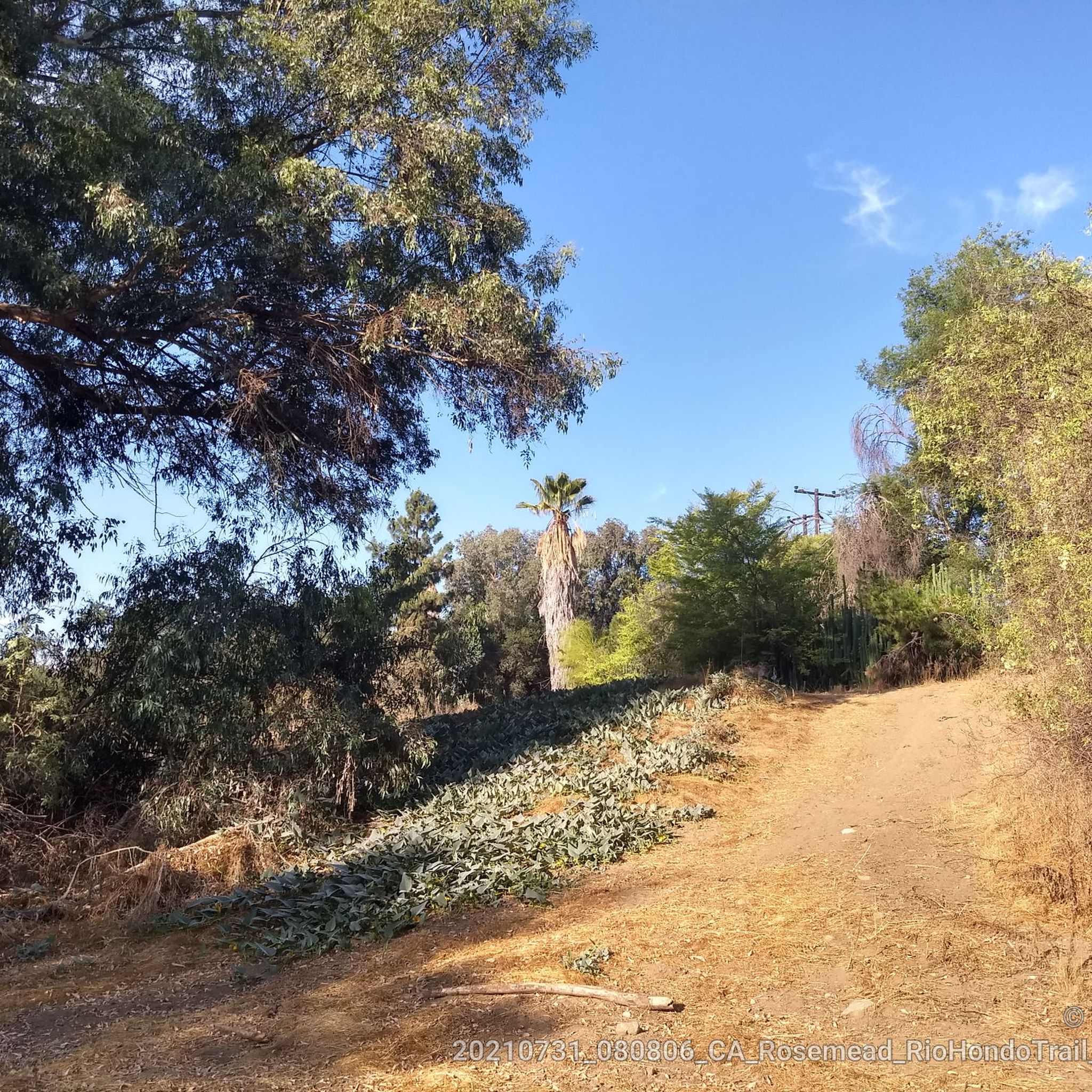
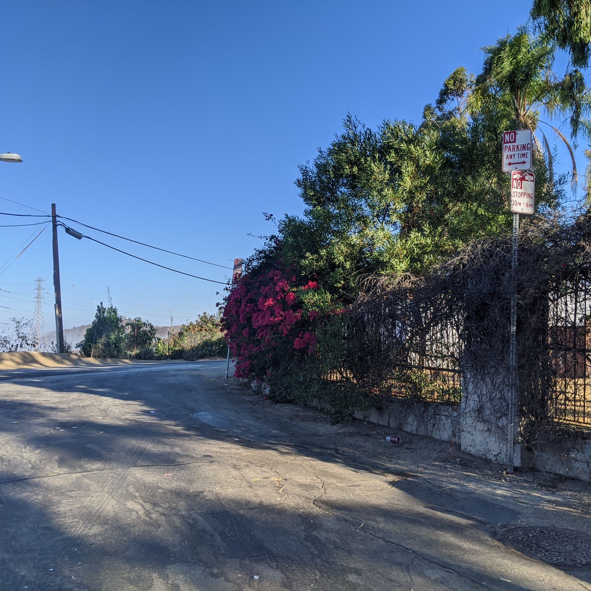

Tips from the Community

There is a parking lot and restroom here at the trailhead, which provides access to a large network of paved and packed dirt trails along the beautiful Rio Hondo. The trailhead closes at sunset.
0
0

Bosque del Rio Hondo, which is Spanish for “Forest of the Deep River, is a small quaint green area just off from Whittier Arrows lakes & Recreation Area. It is also abundant with wildlife and used by the public for picnics, biking and hiking because it provides access to the Rio Hondo and San Gabriel River bicycle paths.
1
0
Frequently Asked Questions
Are dogs allowed on the hiking trails near South El Monte?
Yes, many trails in the area are dog-friendly, but policies can vary. In the Puente Hills Preserve, dogs are generally permitted but must be kept on a leash at all times. It's always a good practice to carry water for your pet, especially on warmer days, and to check the specific rules at the trailhead before you start your hike.
Are there any easy, family-friendly hikes in the area?
Absolutely. The Whittier Narrows Recreation Area is an excellent choice for families, offering gentle, often paved, paths around several lakes that are suitable for strollers and wheelchairs. For a dedicated trail experience, the Puma Trail loop from Hillgrove is a great option for beginners, offering a shorter walk through the hills without any major steep climbs.
Which hikes offer the best views of the San Gabriel Valley?
For expansive panoramic views, head to the trails within the Puente Hills Preserve. The ascents are rewarded with vistas stretching across the valley and sometimes as far as downtown Los Angeles. The Whittier Hill loop from Whittier is a popular choice that climbs into the hills, providing some of the best viewpoints in the region.
What are the most challenging hikes available near South El Monte?
If you're looking for a more strenuous workout, the Puente Hills Preserve offers several routes with significant elevation gain. Trails like the Whittier Hill – Turnbull Debris Basin loop from Hacienda Heights feature steep sections and a consistent climb that will challenge your fitness while rewarding you with great views.
Can I find hiking trails with waterfalls near South El Monte?
Waterfalls are not a common feature of the hikes directly around South El Monte. The landscape is primarily defined by rolling hills, coastal sage scrub, and riparian corridors along the San Gabriel River and in canyons like Turnbull Canyon. While you'll find beautiful creeks and lakeside paths, you won't typically encounter waterfalls on these trails.
What is the best time of year to hike around South El Monte?
Hiking is possible year-round, but the most pleasant seasons are typically fall, winter, and spring. Summers can be very hot and dry, so if you hike during these months, it's best to go early in the morning and carry plenty of water. Spring is particularly beautiful when wildflowers bloom in the Puente Hills.
Are there any shaded hiking trails in the area?
Many trails in the Puente Hills are quite exposed, especially on the ridges. For more shade, look for trails that follow canyon bottoms or rivers. The Sycamore Canyon Trail in the western part of the preserve is known for its shade from large riparian trees. Similarly, sections of the San Gabriel River Trail offer a cooler experience under dense vegetation.
What kind of wildlife might I see while hiking?
The area is rich in wildlife. The Whittier Narrows Recreation Area is a fantastic spot for birdwatching, with a wide variety of resident and migratory birds. In the more rugged Puente Hills Preserve, it's not uncommon to spot mule deer, coyotes, bobcats, and various birds like the California Thrasher and California Towhee.
Where can I park to access the trails in the Puente Hills Preserve?
There are several trailheads providing access to the Puente Hills Preserve. A popular starting point is the Schabarum Skyline Trailhead off Workman Mill Road. You can also find access points and parking near the trailheads for routes starting in Hacienda Heights and Whittier. Always check for any parking restrictions or fees before you go.
Can I get to any of the trailheads using public transport?
Accessing trailheads directly via public transport can be challenging, as many are located away from main bus routes. However, you can get close to some areas. For instance, bus routes run along major roads like Rosemead Blvd near the Whittier Narrows Recreation Area. From there, it would be a short walk to the park's trail system. It's best to plan your specific route using a local transit app.
What is the difference between Whittier Narrows Recreation Area and the Natural Area?
They are adjacent but serve different purposes. The Whittier Narrows Recreation Area is a large, multi-use park with sports facilities, picnic areas, and lakes for activities like fishing and boating.
The Whittier Narrows Natural Area & Nature Center is a dedicated 419-acre sanctuary focused on wildlife preservation and education. It features quieter trails specifically for observing nature and a nature center with exhibits. For more details on the Natural Area, you can visit the official LA County Parks page.
Most popular attractions around South El Monte

Get inspired with the komoot mobile app


Explore more
Browse the best Hikes in other regions.
