The best walks and hikes around Pomona
4.7
(28)
585
hikers
71
hikes
Hiking around Pomona offers access to diverse landscapes, from urban green spaces to the foothills of the San Gabriel Mountains. The region features a Mediterranean climate, providing ample opportunity for outdoor exploration. Trails often lead through canyons, around reservoirs, and into areas with varied elevation changes.
Best hiking trails around Pomona
- The most popular hiking route is Bonelli Trail loop around Puddingstone Reservoir — Claremont, California, a 7.1 miles (11.4 km) trail that takes 3 hours 6 minutes to complete. This moderate route circles Puddingstone Reservoir, offering accessible paths and scenic views.
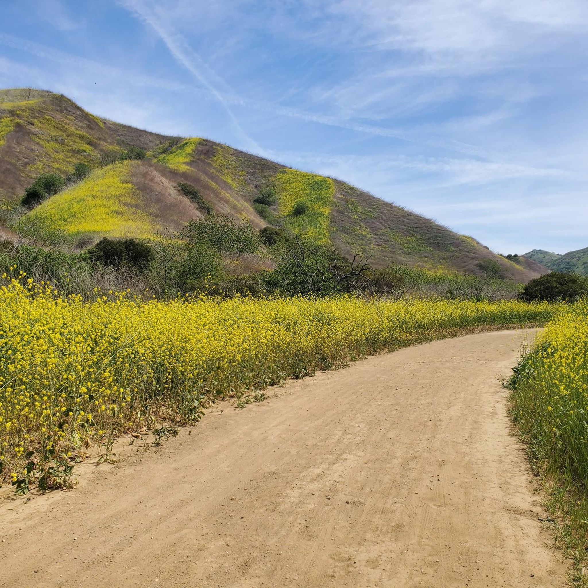
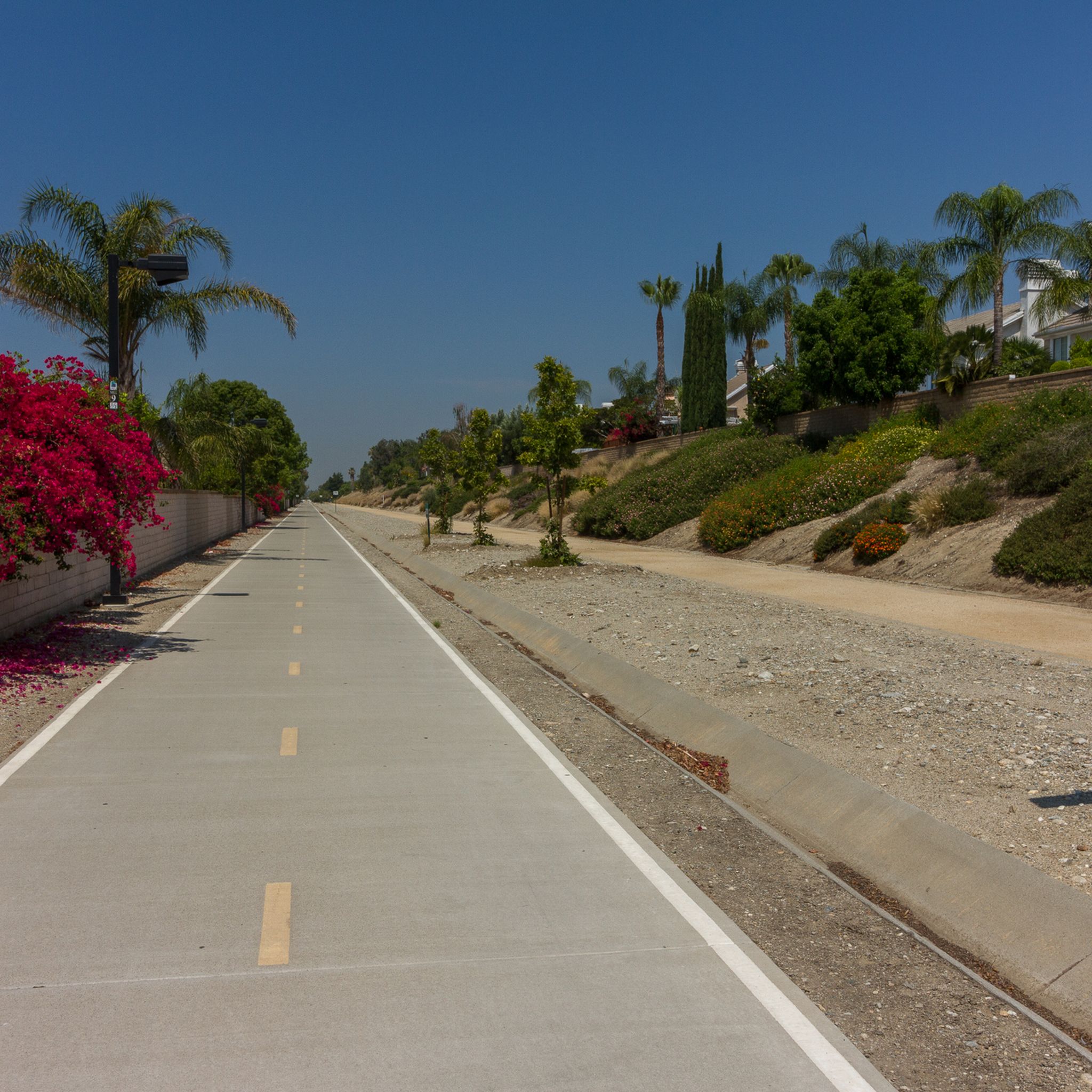
- Another top favourite among local hikers is Madrugada Trail — Chino Hills, an easy 2.0 miles (3.2 km) path. This paved trail features local wildflowers and is suitable for a leisurely urban hike.
- Local hikers also love the View of Puddingstone Reservoir loop from Frank G. Bonelli Regional Park, a 5.8 miles (9.3 km) trail leading through Frank G. Bonelli Regional Park, often completed in about 2 hours 26 minutes.
- Hiking around Pomona is defined by reservoir loops, canyon paths, and urban trails. The network offers options for easy walks, moderate treks, and more challenging routes in nearby wilderness areas.
- The routes in Pomona are highly rated by the komoot community with an average score of 4.7 stars from over 20 reviews. More than 500 hikers have used komoot to explore Pomona's varied terrain.
Last updated: May 12, 2026
20
hikers
10.8km
02:49
80m
80m
Hike the 6.7-mile Bonelli Park Loop Trail around Puddingstone Reservoir, offering moderate terrain and scenic views of the lake and mountain
1
hikers
3.04km
00:48
30m
30m
Explore easy trails through the California Botanic Garden, showcasing 1.9 miles of diverse native plants and gentle elevation gain.

Sign up for free
1
hikers
7.17km
01:58
110m
140m
Hike the easy 4.5-mile Bonelli Bluffs Loop, offering continuous views of Puddingstone Reservoir and the San Gabriel Mountains.
29.7km
08:14
620m
410m
Hike the difficult 18.4-mile Marshall Canyon Trail, gaining 2024 feet with diverse scenery and views of the Inland Empire.
7.44km
02:01
110m
100m
Hike the 4.6-mile Bonelli Park Loop for moderate trails, continuous views of Puddingstone Reservoir, and diverse scenery.
Get access to more routes and recommendations from other explorers.
Sign up for free
Already have an account?
Our route recommendations are based on thousands of hikes, rides, and runs completed by other people on komoot.
Start today with a free account
Your next adventure awaits.
Login or Signup


Tips from the Community

This is a highlight of the California Botanic Gardens. The trails are well-maintained, there is a public restroom on the north side, and the sprawling flora hide a seemingly endless number of partially shaded pathways to enjoy.
0
0
You can cycle across the top of the dam, which was constructed in 1928 to help control flooding in the region. It stands at 147 feet high, and today supports a myriad of outdoor recreation activities on the reservoir.
0
0

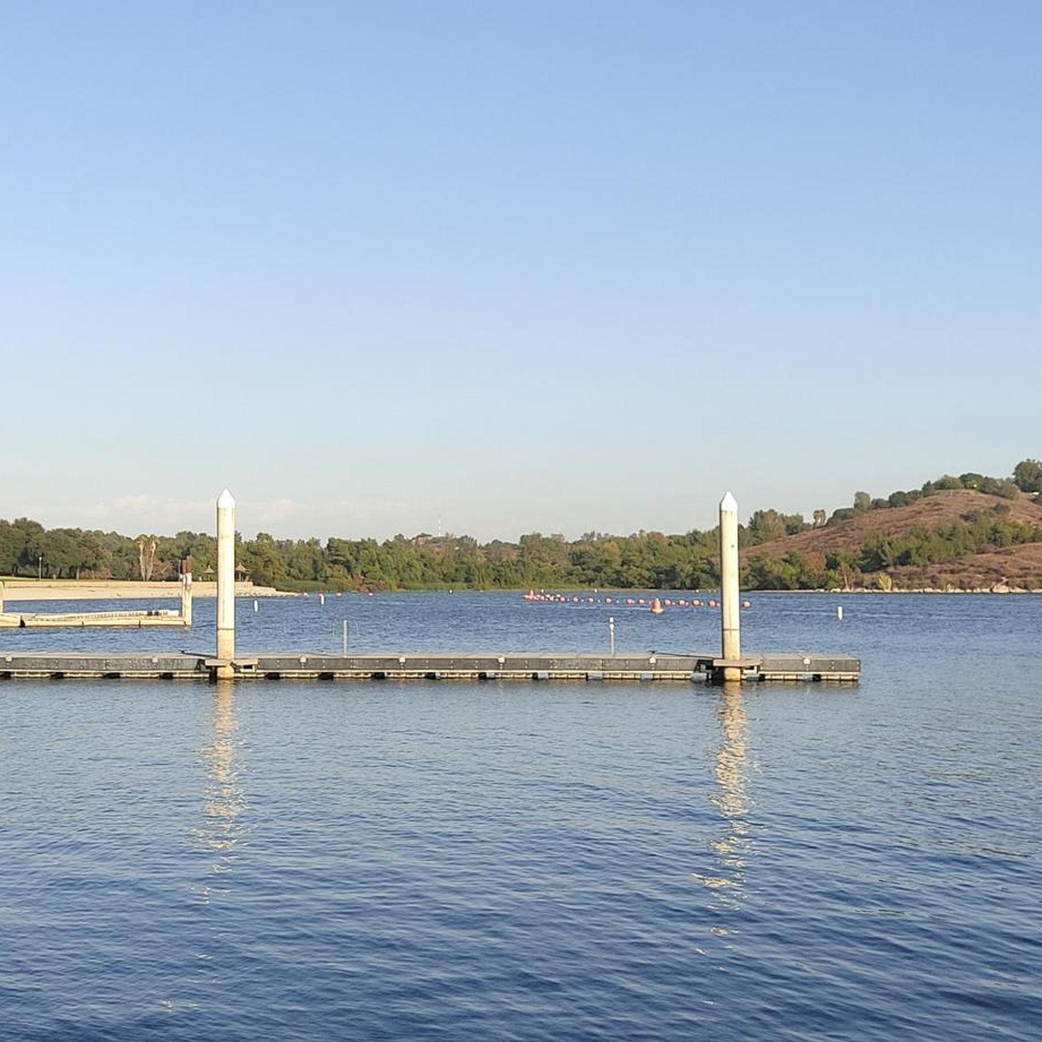
Great view of the Puddingstone Reservoir, a 250-acre man-made body of water. There is a road that runs along the perimeter of the reservoir and there is a spot to pull off the road to get a close up view of the water.
0
0

Hear a plane coming in for a landing? You're experiencing air traffic from Brackett Field Airport. This airport is over 100 years old; it was established in 1911 and is one of the oldest operating airports in the Los Angeles area. There are only two runways here, and this small airport is a hub for flight training schools, charter services, and recreational flying.
0
1

This park offers a variety of amenities, including campsites, horseshoe pits, volleyball courts, and fire pits. With numerous trails throughout, it provides you with opportunities for hiking, running, and biking to enjoy this stunning area.
0
0

This reservoir plays several roles, such as providing water for agriculture, but also serving as a basin where you can swim, fish, and even sail.
0
0
Frequently Asked Questions
How many hiking trails are available around Pomona?
There are over 40 hiking routes available around Pomona, offering a wide range of experiences from easy urban walks to more challenging treks in the foothills of the San Gabriel Mountains.
Are there easy hiking trails suitable for beginners or leisurely walks?
Yes, Pomona offers several easy trails. For a pleasant urban hike featuring local wildflowers, consider the Madrugada Trail — Chino Hills. Within Pomona itself, Ganesha Park also provides peaceful walking paths.
What are some moderate hiking options in the Pomona area?
Many moderate trails are available, often circling reservoirs or traversing canyons. A popular choice is the View of Puddingstone Reservoir loop from Frank G. Bonelli Regional Park, which offers scenic views and takes about 2 hours 26 minutes to complete.
Are there any challenging hikes near Pomona for experienced hikers?
While the immediate Komoot guide focuses on easy to moderate routes, the region's proximity to the San Gabriel Mountains National Monument and Angeles National Forest provides access to more challenging options. The East Fork Trail in the Sheep Mountain Wilderness, known as the path to the Bridge to Nowhere, is a challenging 10.2-mile out-and-back trail mentioned in regional research.
Are there any circular hiking routes around Pomona?
Yes, many trails in the area are designed as loops. For example, the Bonelli Trail loop around Puddingstone Reservoir is a popular 7.1-mile circular route offering accessible paths and scenic views.
What kind of natural features or attractions can I expect to see along the trails?
Hiking around Pomona often features diverse landscapes. You can find trails leading through 'Sherwood Forest'-like environments with oak tree cover, such as sections of the Marshall Canyon Trail. Many routes also offer scenic views of bodies of water like the Puddingstone Reservoir.
What is the best time of year to go hiking in Pomona?
Pomona experiences a Mediterranean climate with hot, dry summers and mild, damp winters. This provides ample sunshine for outdoor exploration throughout much of the year, making spring and fall particularly pleasant for hiking when temperatures are milder.
Are there any trails with good viewpoints in the area?
Yes, several trails and locations offer excellent views. The View of Puddingstone Reservoir is a notable highlight along many routes in Frank G. Bonelli Regional Park. Additionally, the Pomona Valley Mining Company, while not a trail, offers panoramic views of the valley from its hilltop location.
What do other hikers enjoy most about hiking in Pomona?
The area is highly rated by the komoot community, with an average score of 4.7 stars from over 20 reviews. Hikers often praise the diverse terrain, from reservoir loops to canyon paths, and the accessibility of trails for various fitness levels.
Are there family-friendly hiking options around Pomona?
Many of the easier and moderate trails are suitable for families. The Madrugada Trail — Chino Hills is a short, paved option perfect for a leisurely family walk. Ganesha Park also provides a convenient green space with walking paths for all ages.
What is the typical duration for hikes in Pomona?
Hike durations vary significantly. Easy trails like the Madrugada Trail can be completed in under an hour, while moderate loops such as the View of Puddingstone Reservoir loop typically take around 2.5 hours. More extensive routes, like the Bonelli Trail loop, can take over 3 hours.
Are there any trails that lead through canyons?
Yes, canyon paths are a defining feature of hiking around Pomona. The Marshall Canyon Trail is particularly known for its lush, oak-covered canyon environment, offering both relatively flat lower sections and more challenging climbs deeper within.
Most popular attractions around Pomona

Get inspired with the komoot mobile app


Explore more
Browse the best Hikes in other regions.
