The best road cycling routes around Mountain View
4.6
(534)
16,532
riders
80
rides
Road cycling routes around Mountain View offer a diverse landscape, ranging from flat baylands to challenging rolling hills. The region features paved trails along the San Francisco Bay, providing views of marshlands and wildlife. Inland, cyclists encounter varied terrain with moderate climbs and access to steeper ascents in the surrounding hills. This area benefits from a mild climate, supporting year-round outdoor activities.
Best road cycling routes around Mountain View
- The most popular road cycling route is San Francisco Bay Trail…
Last updated: October 10, 2026
3.8
(25)
335
riders
59.5km
02:38
50m
50m
Cycle the moderate 37.0-mile San Francisco Bay Trail, gaining 166 feet of elevation with diverse Bay views and iconic bridges.
4.7
(13)
581
riders
49.5km
02:12
440m
440m
Moderate road ride. Good fitness required. Mostly well-paved surfaces and easy to ride.

4.8
(5)
239
riders
62.0km
03:08
990m
990m
Hard road ride. Very good fitness required. Mostly well-paved surfaces and easy to ride.
4.2
(26)
236
riders
Easy road ride. Great for any fitness level. Mostly well-paved surfaces and easy to ride.
4.3
(3)
151
riders
Moderate road ride. Good fitness required. Mostly well-paved surfaces and easy to ride.
Get access to more routes and recommendations from other explorers.
Already have an account?
Our route recommendations are based on thousands of hikes, rides, and runs completed by other people on komoot.
Start today with a free account
Your next adventure awaits.
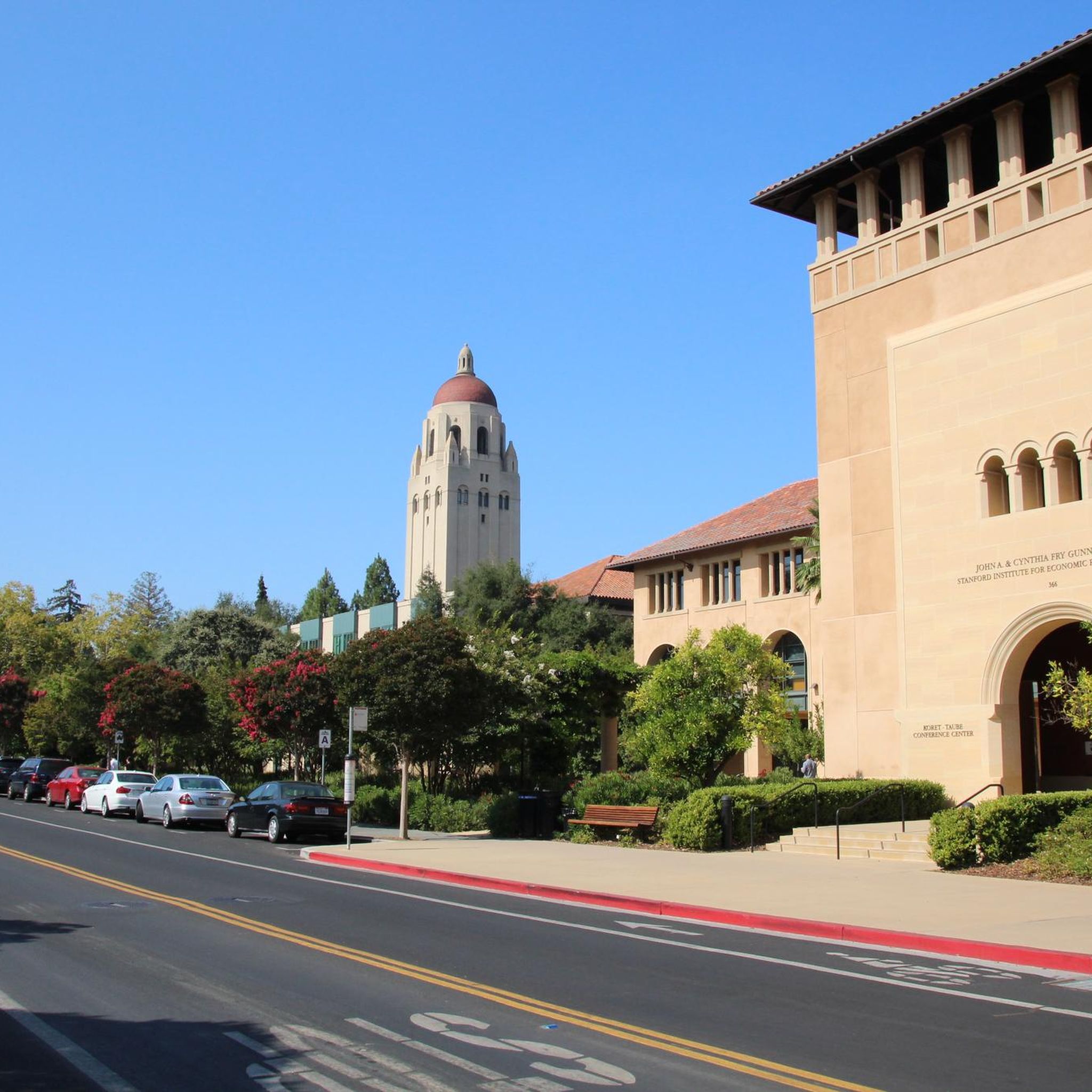
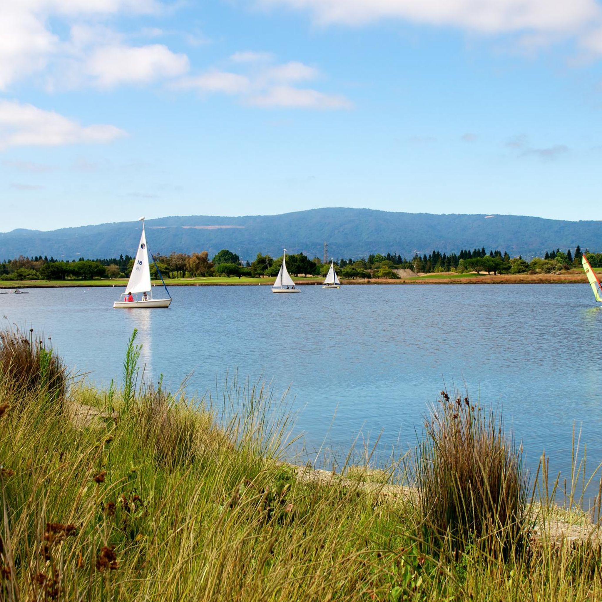
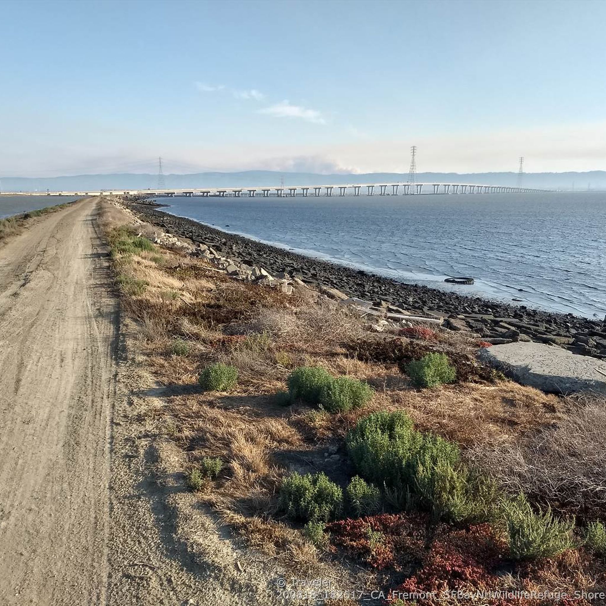
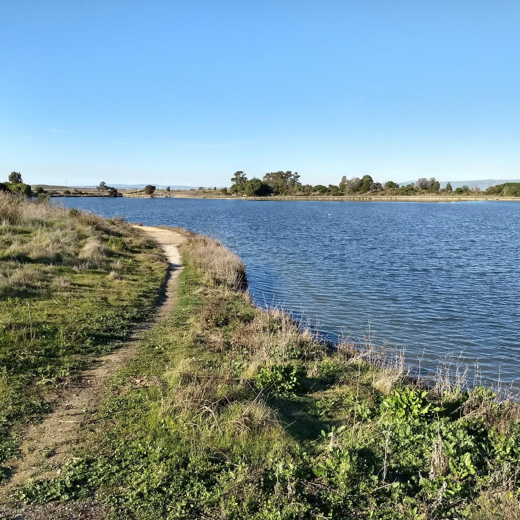
Tips from the Community

The Northern part of Alpine Road is a paved and curvy descent through wooded areas and runs parallel to Coal Mine Ridge Preserve, eventually connecting with the trailhead there.
0
0

This mostly paved bike trail alongside Alpine Road is great for bike commuting — just don't run over any slower trail users! The trail runs all the way from Portola Valley to Stanford, offering some nice shade along the way. The brief moments of unpaved trail are near the Portola Valley end.
0
0


The Palo Alto-Los Altos Bike and Pedestrian Path, also known as the Hetch Hetchy Trail, is a well-maintained multi-use route that connects Los Altos Avenue to Arastradero Road. It’s popular for biking, running, and hiking, offering scenic views and access to parks like Terman Park, Bol Park, and Barron Park Donkeys. The trail includes a mini library and is part of Henry M. Gunn High School's recommended walking routes.
1
0

The San Francisco Bay Trail is a flat, paved trail that runs along the border of the bay. It is a great place for a run because it is traffic free and has great views.
0
0

Page Mill Road is a classic route for cyclists looking for a challenge, with its steep climbs, sharp switchbacks, and stunning views of Silicon Valley. Starting near Palo Alto and climbing into the Santa Cruz Mountains, the ride tests your legs but rewards you with breathtaking scenery. Be prepared for varying gradients, especially in the lower sections, and pack plenty of water—the climb can be intense, especially on warmer days.
0
0
Winding through a quiet residential area with minimal traffic, Altamont Road is perfect for a laid-back ride or linking up with tougher routes nearby. The gentle climbs make it super relaxing, and the hill views are awesome—especially around sunrise or sunset. It’s bike-friendly, but watch out for the occasional car on the narrower sections.
0
0

The Dumbarton Bridge is the shortest and southernmost bridge across the San Francisco Bay. At 1.6 miles you can cross the water with nice views over the bay. Just keep an eye out for potholes, especially on the east side, as the road conditions aren't the best. That being said there was ongoing road works the last time I was in the area so hopefully things are improving.
0
0
Frequently Asked Questions
How many road cycling routes are available in Mountain View?
Mountain View offers a wide variety of road cycling routes, with over 90 tours available on komoot. These routes cater to different skill levels, from easy, flat paths to challenging climbs.
What kind of terrain can I expect on road cycling routes in Mountain View?
You'll find a diverse landscape for road cycling in Mountain View. The area features flat, paved trails along the San Francisco Bay, such as the San Francisco Bay Trail, offering views of marshlands and wildlife. Inland, you can explore rolling hills with moderate climbs, and access steeper ascents in the surrounding areas like Page Mill Road or routes leading to the Santa Cruz Mountains for more strenuous workouts.
Are there easy road cycling routes suitable for beginners or families?
Yes, Mountain View has several easy road cycling options. The Baylands area, including sections of the San Francisco Bay Trail and Shoreline Park, offers predominantly flat and paved paths perfect for a relaxed ride. The San Francisco Bay Trail – San Francisco Bay Trail loop from San Antonio is an example of an easy route.
Where can I find more challenging road cycling routes with significant climbs?
For more challenging rides, explore routes that venture into the rolling hills surrounding Mountain View. Options like the Tree Tunnel on Portola Road – Portola Valley loop from Mountain View feature significant elevation gains. Cyclists also favor Page Mill Road for its steep climbs and thrilling descents, and can access routes leading to Montebello Road and the Santa Cruz Mountains for even more strenuous workouts.
What are some scenic viewpoints or natural attractions I can see while cycling?
Many routes offer scenic views, especially along the baylands where you can spot wildlife. For elevated perspectives, consider routes that pass near highlights like Byrne Preserve Lookout or View of Saratoga and the Bay Area from Hunters Point. You might also encounter natural features like the Former salt ponds – Alviso wetlands.
What is the best time of year for road cycling in Mountain View?
Mountain View benefits from a mild Mediterranean climate, making it suitable for road cycling year-round. Summers are warm and dry, while winters are cool and wet. This allows for outdoor pursuits throughout the year, though spring and fall often offer the most pleasant temperatures.
Are there any loop road cycling routes in the area?
Yes, Mountain View offers several excellent loop road cycling routes. A popular option is the Portola Valley – Junipero Serra Boulevard loop from Downtown Mountain View, which features rolling hills. Another is the Portola Valley – Junipero Serra Boulevard loop from Mountain View, offering a slightly longer ride with similar scenic characteristics.
Can I find cafes or places to stop for refreshments along the routes?
While specific cafes directly on every trail segment are not guaranteed, many routes pass through or near urban areas and towns where you can find cafes and other establishments for refreshments. Mountain View itself has numerous amenities, and local cycling groups often incorporate coffee stops into their rides.
What do other cyclists say about road cycling in Mountain View?
The road cycling routes in Mountain View are highly rated by the komoot community, with an average score of 4.8 stars from over 130 reviews. Cyclists often praise the diverse terrain, from the serene baylands to the challenging hills, and the accessibility of routes for various skill levels.
Are there specific trails like the Stevens Creek Trail suitable for road cycling?
Yes, the Stevens Creek Trail is a popular, predominantly flat and paved path that is excellent for road cycling. It stretches from El Camino/Highway 85 to Shoreline Park, offering a mix of natural and urban landscapes, and is a great option for a smooth ride.
Where can I park my car when going road cycling in Mountain View?
Parking is generally available at various access points for trails and parks in Mountain View. For instance, Shoreline Park offers ample parking, providing convenient access to the baylands trails. Many local parks also have parking facilities that can serve as starting points for your rides.
Is public transport access available to road cycling trails in Mountain View?
Mountain View has public transport options, including Caltrain and VTA (Santa Clara Valley Transportation Authority) buses and light rail, which can help you access various parts of the city. Many of these services accommodate bicycles, making it possible to reach trailheads or starting points for your road cycling adventures without a car.
Most popular routes around Mountain View
Most popular attractions around Mountain View

Get inspired with the komoot mobile app


Explore more
Browse the best Road cycling routes in other regions.
