The best road cycling routes around Sunnyvale
4.5
(578)
15,592
riders
48
rides
Road cycling routes around Sunnyvale offer a diverse landscape, characterized by an extensive network of bike paths and lanes that traverse serene parks and natural greenbelts. The region features coastal paths along the San Francisco Bay, providing scenic views, alongside routes that wind through varied terrain including flat sections and challenging hills. Cyclists can explore areas with salt marshes, open space preserves offering panoramic vistas of the Santa Clara Valley, and scenic backdrops around Stevens Creek Reservoir. This varied topography provides options for different fitness levels, from easy rides to journeys with significant elevation gains.
Best road cycling routes in Sunnyvale
- The most popular road cycling route is Stevens Canyon and Page Mill Loop, a 41.9 miles (67.5 km) trail that takes 3 hours 30 minutes to complete. This difficult route features substantial elevation gain and diverse scenery.
- Another top favourite among local road cyclists is Foothill Expressway and Junipero Serra Loop, an easy 30.5 miles (49.0 km) path. This route offers a relatively easy ride through scenic areas with gentle gradients.
- Local road cyclists also love the Stevens Canyon and Mt Eden Loop from Sunnyvale, a 29.1 miles (46.9 km) trail leading through varied terrain with scenic views of Stevens Creek Reservoir, often completed in about 2 hours 18 minutes.
- Road cycling around Sunnyvale is defined by coastal paths along the San Francisco Bay, natural greenbelts, and routes with significant elevation changes. The network offers options for different ability levels, from easy rides to challenging journeys.
- The routes in Sunnyvale are highly rated by the komoot community with an average score of 4.6 stars from over 100 reviews. More than 2,500 road cyclists have used komoot to explore Sunnyvale's varied terrain.
Last updated: August 31, 2026
4.8
(6)
221
riders
67.5km
03:30
1,180m
1,180m
This difficult 42.0-mile road cycling loop offers 3874 feet of elevation gain, stunning Silicon Valley views, and diverse scenery.
4.4
(10)
216
riders
49.1km
01:58
260m
260m
This easy 30.5-mile road cycling loop on Foothill Expressway and Junipero Serra Boulevard is perfect for a quick ride in the Bay Area.

Sign up for free
4.7
(12)
90
riders
46.9km
02:18
660m
660m
This moderate 29.1-mile road cycling loop from Sunnyvale offers scenic views of Stevens Creek Reservoir, vineyards, and valley vistas.
3.9
(24)
352
riders
65.2km
03:19
110m
110m
Moderate road ride. Good fitness required. Some segments of this route may be unpaved and difficult to ride.
5.0
(5)
257
riders
104km
05:20
1,660m
1,660m
Hard road ride. Very good fitness required. Mostly well-paved surfaces and easy to ride.
Get access to more routes and recommendations from other explorers.
Sign up for free
Already have an account?
Our route recommendations are based on thousands of hikes, rides, and runs completed by other people on komoot.
Start today with a free account
Your next adventure awaits.
Login or Signup
Tips from the Community

Biggest peak in the area. If you go when it's open (weekends as of today), you can do the tour of what was once the largest telescope in the world (still one of the biggest refraction telescopes). The observatory is still active
0
0


The Palo Alto-Los Altos Bike and Pedestrian Path, also known as the Hetch Hetchy Trail, is a well-maintained multi-use route that connects Los Altos Avenue to Arastradero Road. It’s popular for biking, running, and hiking, offering scenic views and access to parks like Terman Park, Bol Park, and Barron Park Donkeys. The trail includes a mini library and is part of Henry M. Gunn High School's recommended walking routes.
1
0
Stevens Creek Reservoir spans 87 acres and is surrounded by a 1,063-acre park. Visitors can enjoy hiking, horseback riding, picnicking, and limited fishing. Seasonal boating for low-power boats is available from mid-April to mid-October. The park is open daily from 8 a.m. to sunset, with vehicle entry fees collected year-round at the Chestnut Parking Lot. Visitors can explore natural beauty and historic remnants like the Villa Maria orchard.
1
0

This pedestrian bridge was completed in 2002 and offers pedestrians and cyclists away to travel away from traffic.
0
0

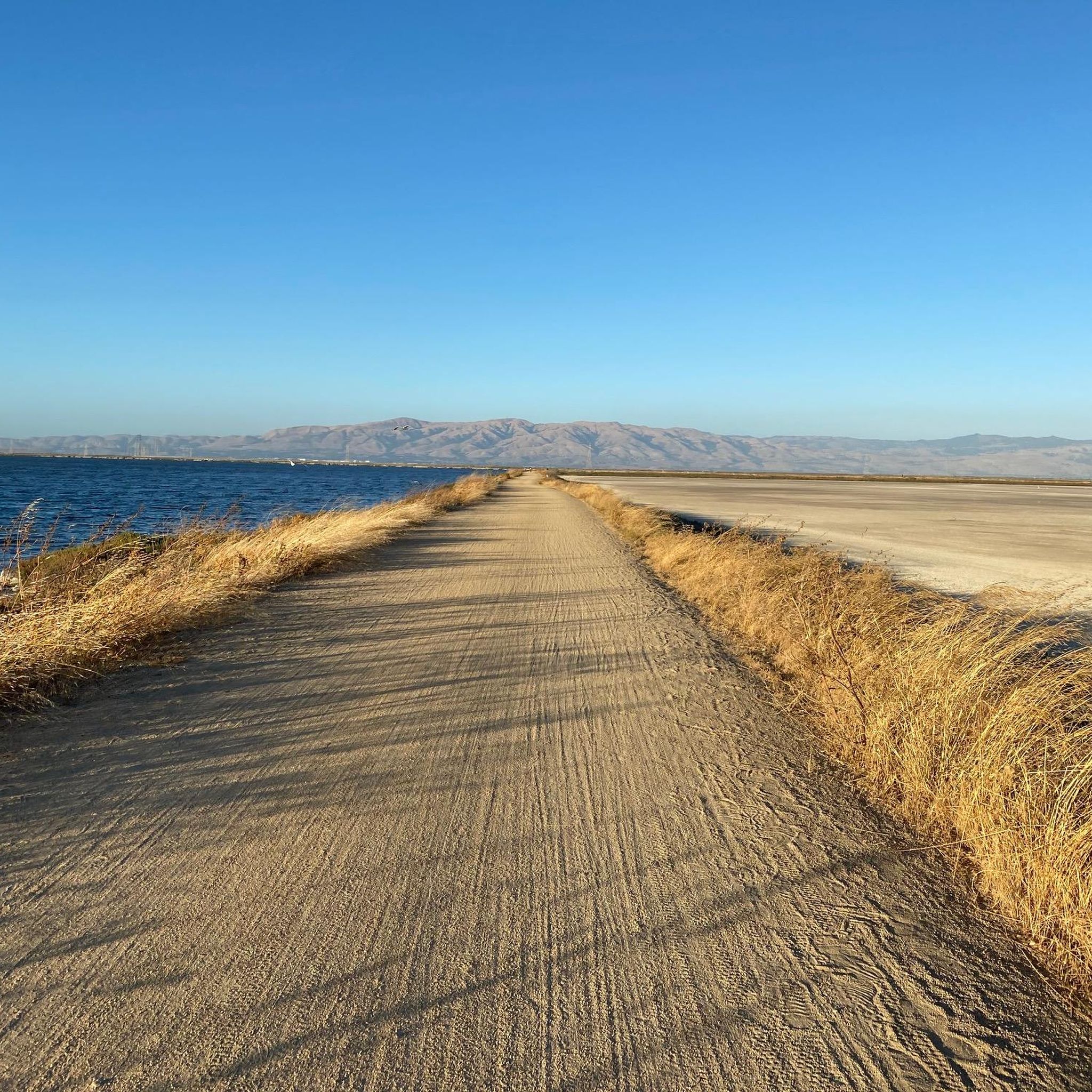
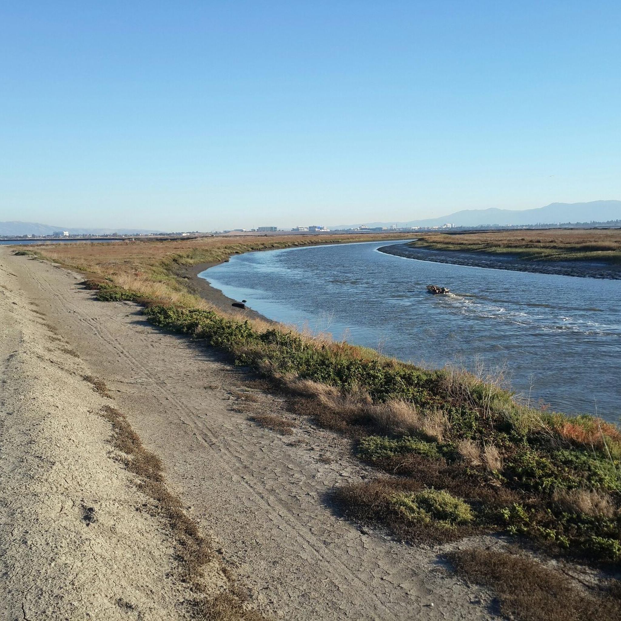
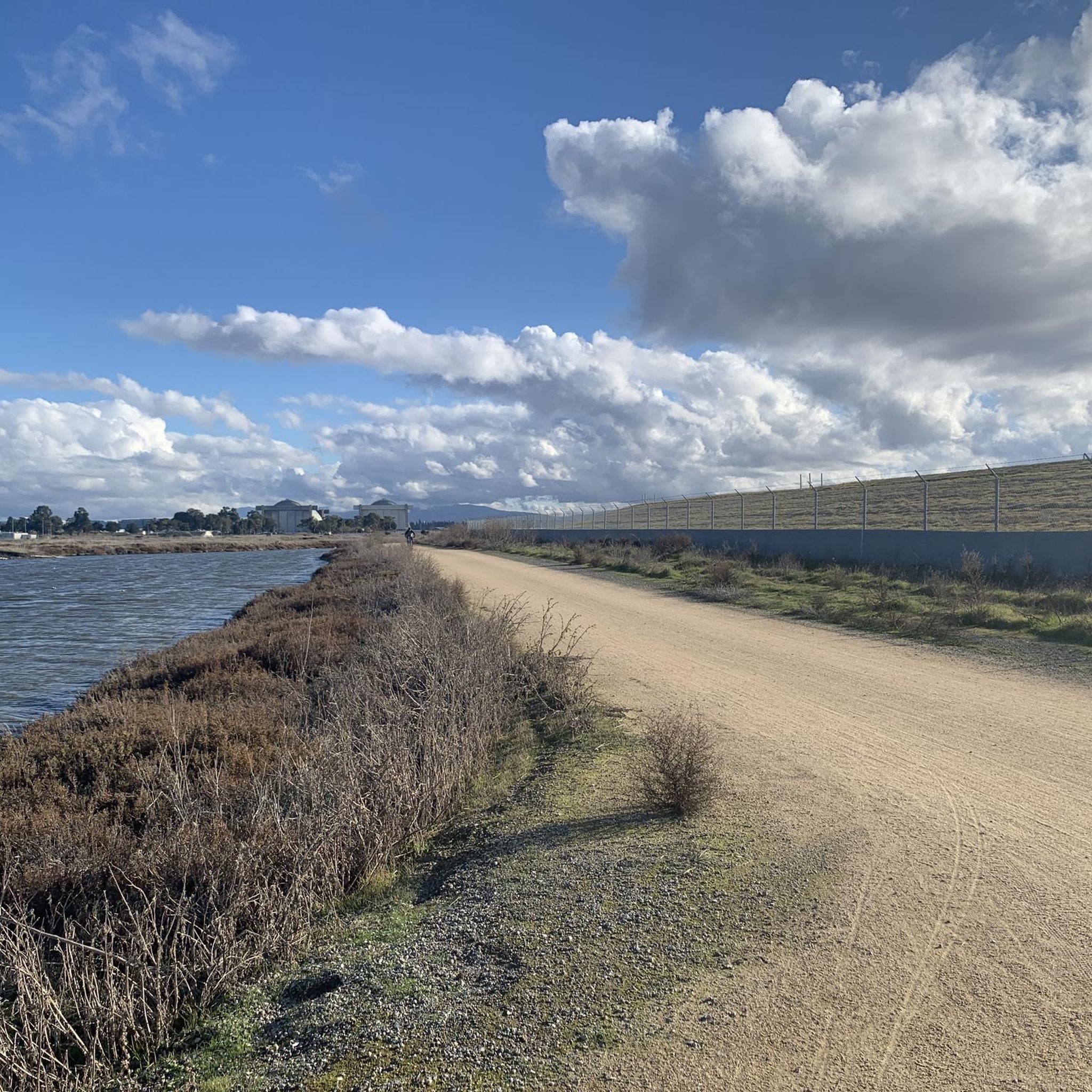
The San Francisco Bay Trail is a flat, paved trail that runs along the border of the bay. It is a great place for a run because it is traffic free and has great views.
0
0

Along the Guadalupe River you will find a conglomeration of little scenic parks. There is Columbus Park, Taylor Street Rock Garden, a rose garden, a community garden, playgrounds, running trails by the river, and more. There is an interconnected network of bike paths and roads to explore here.
0
0

Lick Observatory is a must-visit destination for cyclists, featuring historic and modern telescopes, including the world’s largest glass lens observatory. Free tours provide fascinating insights into astronomy and the observatory’s history. At 4,209 feet, temperatures can drop significantly compared to Silicon Valley, especially in winter—bring warm layers.
0
0
Frequently Asked Questions
How many road cycling routes are available in Sunnyvale?
Sunnyvale offers a wide selection of road cycling routes, with over 50 different tours available. These routes cater to various skill levels, from easy rides to more challenging journeys.
What kind of terrain can I expect on road cycling routes around Sunnyvale?
Road cycling routes around Sunnyvale feature a diverse landscape. You'll find an extensive network of bike paths and lanes traversing serene parks and natural greenbelts. The region also includes coastal paths along the San Francisco Bay, offering scenic views, alongside routes that wind through varied terrain with both flat sections and challenging hills.
Are there easy road cycling routes suitable for beginners in Sunnyvale?
Yes, Sunnyvale has several easy road cycling routes perfect for beginners. An excellent option is the Foothill Expressway and Junipero Serra Loop, which is an easy 30.5-mile (49.0 km) path offering a relatively gentle ride through scenic areas.
Where can I find challenging road cycling routes with significant elevation gain?
For cyclists seeking a challenge, Sunnyvale offers routes with substantial elevation gain. The Stevens Canyon and Page Mill Loop is a difficult 41.9-mile (67.5 km) trail known for its significant climbs and diverse scenery. Another demanding option is the Santa Clara Skatepark – Mount Hamilton Road loop from Lawrence, which is over 60 miles long with substantial elevation.
Are there scenic routes with great views in Sunnyvale?
Absolutely. Many routes offer picturesque views. The Stevens Canyon and Mt Eden Loop from Sunnyvale provides scenic views of Stevens Creek Reservoir. Additionally, the San Francisco Bay Trail offers breathtaking coastal views of the San Francisco Bay. For panoramic vistas of the Santa Clara Valley, consider routes near Fremont Older Open Space Preserve.
Can I find family-friendly road cycling options in Sunnyvale?
Sunnyvale is well-suited for family-friendly cycling, thanks to its extensive network of bike paths and lanes. The Stevens Creek Trail, for instance, is a paved, multi-use trail winding through serene parks, ideal for families. The John W. Christian Greenbelt also provides over two miles of paved path, linking various open space amenities suitable for all ages.
What are some notable natural attractions or landmarks I can see while cycling in Sunnyvale?
While cycling in Sunnyvale, you can encounter several natural attractions. The Stevens Creek Reservoir provides a scenic backdrop along many routes. You might also pass by areas like Baylands Park, a haven for nature lovers and birdwatchers along the San Francisco Bay, or enjoy views from Maisie's Peak or Crittenden Hill. Some routes also offer glimpses of Black Mountain.
Are there loop routes for road cycling in Sunnyvale?
Yes, many road cycling routes in Sunnyvale are designed as loops, allowing you to start and end at the same point. Examples include the Stevens Canyon and Page Mill Loop, the Foothill Expressway and Junipero Serra Loop, and the Stevens Canyon and Mt Eden Loop from Sunnyvale.
What is the best time of year for road cycling in Sunnyvale?
Sunnyvale generally offers pleasant cycling conditions year-round due to its mild climate. However, spring and fall often provide the most comfortable temperatures for road cycling. Summer can be warm, especially inland, but coastal routes like the San Francisco Bay Trail benefit from cooler bay breezes. Winter is typically mild with occasional rain.
Are there options for parking near the road cycling routes?
Yes, many road cycling routes in Sunnyvale have convenient parking options. Major parks like Baylands Park, which provides access to the San Francisco Bay Trail, offer ample parking. Additionally, various community parks and trailheads throughout the city often have dedicated parking facilities for cyclists.
What do other cyclists say about road cycling in Sunnyvale?
The road cycling experience in Sunnyvale is highly rated by the komoot community, with an average score of 4.6 stars from over 100 reviews. Cyclists often praise the varied terrain, from flat coastal paths to challenging hills, and the well-maintained network of bike paths and lanes that make the area very accessible and enjoyable for all skill levels.
How long are the typical road cycling routes in Sunnyvale?
Road cycling routes in Sunnyvale vary significantly in length to suit different preferences. You can find shorter rides, but many popular routes range from approximately 30 miles (48 km) to over 60 miles (96 km). For example, the Foothill Expressway and Junipero Serra Loop is about 30.5 miles, while the Stevens Canyon and Page Mill Loop is around 41.9 miles.
Most popular routes around Sunnyvale
Most popular attractions around Sunnyvale

Get inspired with the komoot mobile app


Explore more
Browse the best Road cycling routes in other regions.
