The best road cycling routes around Deesbach
4.5
(65)
937
riders
65
rides
Road cycling routes around Deesbach are situated within the Thuringian Highland, characterized by a hilly and forested landscape. The region features varied terrain, including challenging ascents such as Germany's steepest road, which has gradients reaching over 25%. This area offers a mix of demanding climbs and scenic stretches, with natural landmarks like the Deesbach Forebay and ancient Meurasteine rock formations.
Best road cycling routes in Deesbach
- The most popular road cycling route is Kehltal Valley – Ilmenau–Langewiesen Cycle Path loop…
Last updated: October 12, 2026
5.0
(2)
57
riders
86.8km
04:18
1,340m
1,340m
Hard road ride. Very good fitness required. Some segments of this route may be unpaved and difficult to ride.
4.0
(1)
28
riders
104km
04:52
1,330m
1,330m
Hard road ride. Very good fitness required. Some segments of this route may be unpaved and difficult to ride.

12
riders
159km
07:48
2,400m
2,400m
Hard road ride. Very good fitness required. Mostly well-paved surfaces and easy to ride.
5.0
(1)
12
riders
Moderate road ride. Good fitness required. Mostly well-paved surfaces and easy to ride.
9
riders
47.7km
02:20
740m
740m
Moderate road ride. Good fitness required. Some segments of this route may be unpaved and difficult to ride.
Get access to more routes and recommendations from other explorers.
Already have an account?
Our route recommendations are based on thousands of hikes, rides, and runs completed by other people on komoot.
Start today with a free account
Your next adventure awaits.
Tips from the Community

Beautiful resting place on the Rennsteig.
0
0

During my visit in July 2026, the church was open and accessible. Lovely village church.
0
0

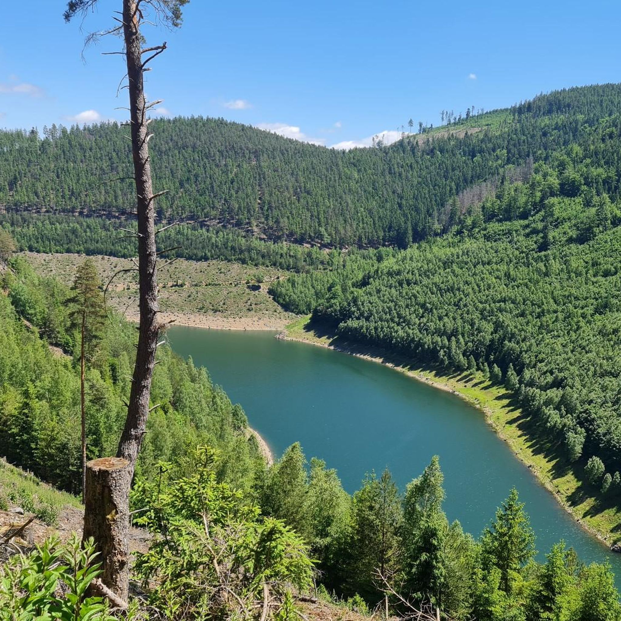
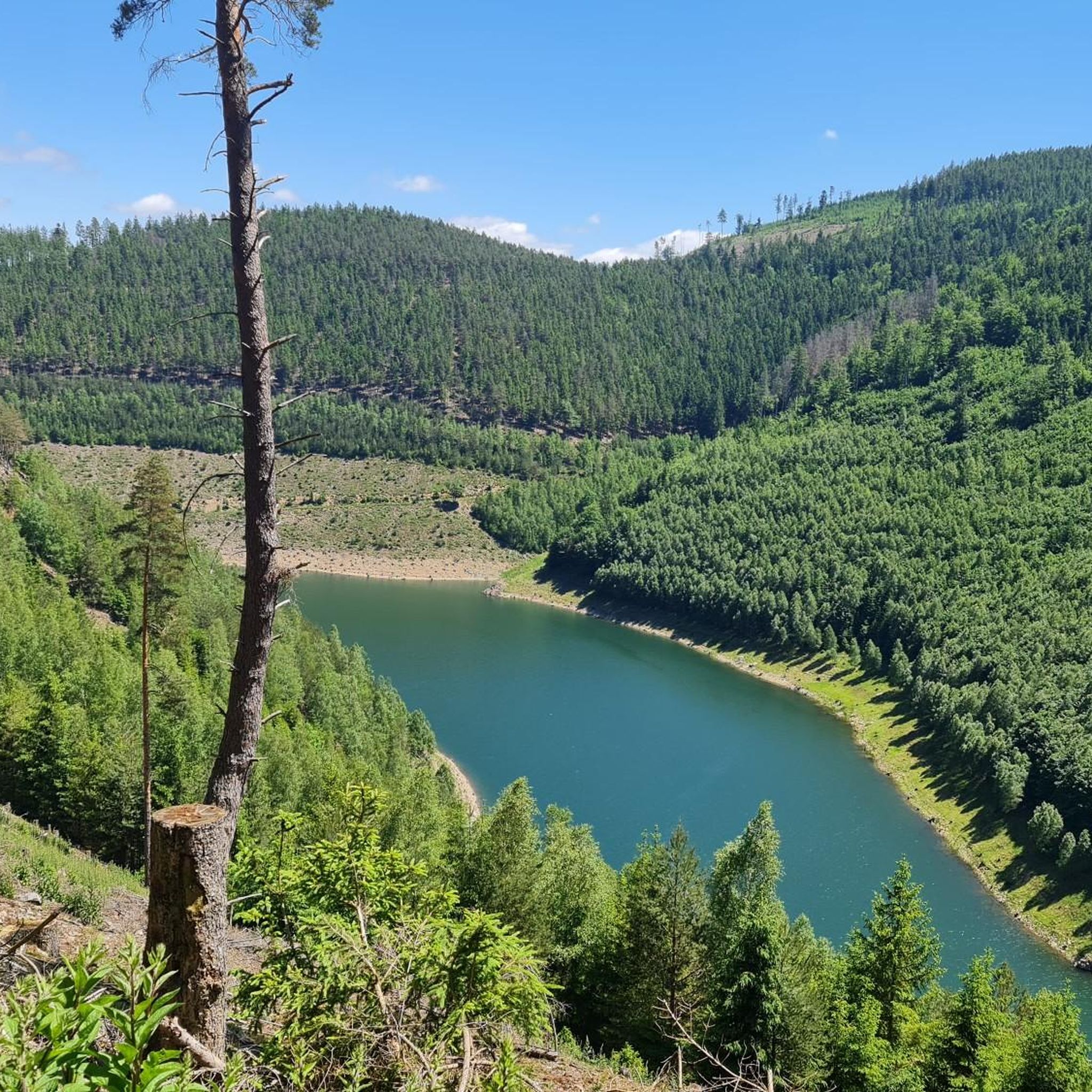
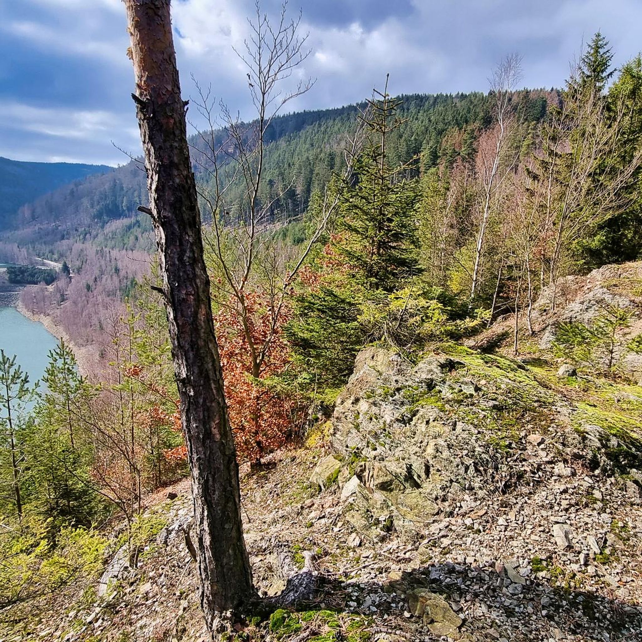
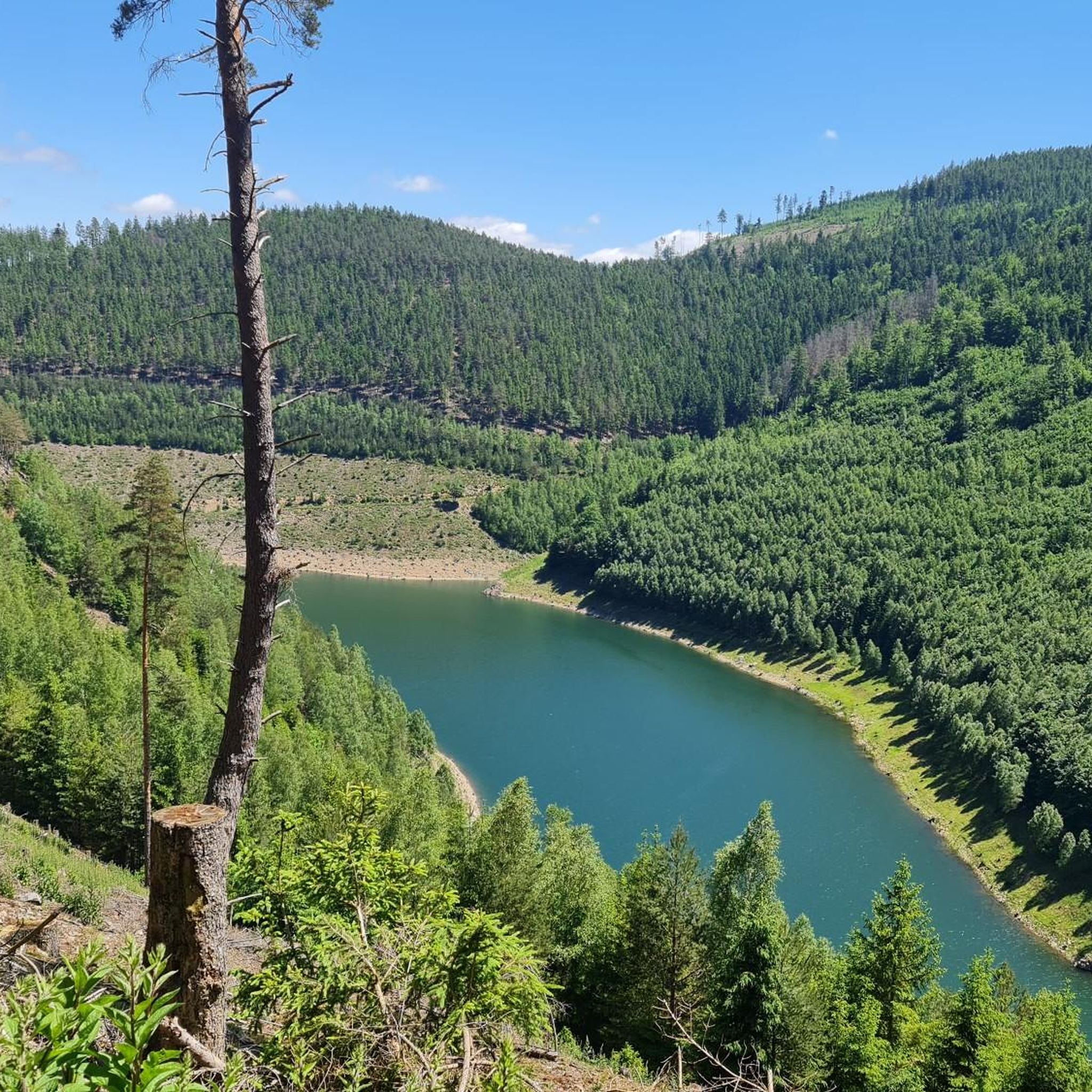
Very beautiful view of the reservoir, worth a stop.
0
0

View from Liebenstein Castle...
0
0

Many pastures. Many horses.
2
0

A single-nave church dating from 1734-1736. Western roof tower. Inside, a painted wooden ceiling, pulpit altar, and baptismal angel.
0
0
A single-nave church dating from 1729, built on the foundations of an earlier structure. The western neo-Gothic tower, added in 1900, features a gable roof and a spire. Inside are a pulpit altar and a baptismal font.
0
0

Comfortable pass ride with moderate gradients.
0
0
Frequently Asked Questions
How many road cycling routes are available around Deesbach?
There are over 60 road cycling routes around Deesbach. These routes are primarily categorized as moderate or difficult, offering a range of challenges for cyclists.
What is the general difficulty level of road cycling routes in Deesbach?
Road cycling in Deesbach is characterized by its hilly terrain within the Thuringian Highland. The majority of routes are rated as difficult (43 routes), with a significant number also being moderate (25 routes). This indicates a region best suited for cyclists seeking a challenge.
Are there any particularly challenging climbs for road cyclists in Deesbach?
Yes, Deesbach is famously home to "Deutschlands steilste Straße" (Germany's steepest road), featuring gradients of 25.3% in some sections, and even reaching 32% in parts. This makes the region a formidable challenge for road cyclists looking to test their limits.
What kind of terrain can I expect when road cycling in the Deesbach region?
The Deesbach region, nestled in the Thuringian Highland, offers a diverse and scenic terrain. You can expect a mix of challenging ascents, rolling hills, and forested sections. The landscape is generally hilly and provides varied stretches for road cyclists.
What natural landmarks or viewpoints can I see along road cycling routes in Deesbach?
The region boasts several impressive natural features. You can encounter the Deesbach Forebay, part of the larger Leibis-Lichte Dam system, offering scenic views. The Schneiderfelsen viewpoint provides terrific vistas, including the dam. Other notable natural monuments include the ancient Meurasteine Rock Formation and the tranquil Schwarza Spring, the source of the Schwarza River.
Are there any historical sites or castles accessible by road bike near Deesbach?
Yes, the area around Deesbach features historical attractions. You can find Schwarzburg Castle, a significant landmark, along with its Imperial Hall building and surrounding historical sites like the Ruins and rock labyrinth beneath Schwarzburg Castle. These offer interesting stops during your rides.
Are there road cycling routes that form a loop around Deesbach?
Many road cycling routes in Deesbach are designed as loops, allowing you to start and end your ride in the same location. For example, the View of the Deesbach Pre-Dam – View of the Leibis-Lichte Dam loop from Rohrbach is a moderate 36 km loop that offers scenic views.
What do other cyclists say about road cycling in Deesbach?
The road cycling routes in Deesbach are highly rated by the komoot community, with an average score of 4.6 stars from over 40 reviews. Cyclists often praise the challenging climbs, varied terrain, and the beautiful, forested landscapes of the Thuringian Highland.
When is the best time of year to go road cycling in Deesbach?
The Thuringian Highland offers beautiful scenery, and generally, late spring through early autumn (May to October) provides the most favorable weather conditions for road cycling in Deesbach. During these months, temperatures are milder, and the natural surroundings are at their most vibrant.
Are there family-friendly road cycling routes in Deesbach?
While many routes in Deesbach are rated as moderate to difficult due to the hilly terrain, some sections or shorter loops might be suitable for families with older, more experienced children. It's advisable to check the elevation profiles and distances of specific routes, such as the Hohe Tanne – Gillersdorf Road – Hohe Tanne loop from Mellenbach-Glasbach, to determine their suitability.
What are the parking options for road cyclists in Deesbach?
As a popular outdoor destination, Deesbach and its surrounding villages typically offer various parking facilities, especially near trailheads or central points. It's recommended to check local signage upon arrival for designated cyclist parking areas.
Is public transport available for cyclists with bikes in Deesbach?
Public transport options in the Thuringian Highland may include bus services that can accommodate bicycles, particularly during peak tourist seasons. It's best to consult local public transport providers for specific routes and regulations regarding bicycle carriage.
Are there places to eat or stay for cyclists in Deesbach?
Deesbach and the surrounding communities in the Thuringian Highland offer various amenities for visitors. You can find local cafes, restaurants, and accommodation options that cater to tourists and outdoor enthusiasts, including cyclists. These establishments provide convenient stops for refreshments and overnight stays.
Most popular attractions around Deesbach

Get inspired with the komoot mobile app


Explore more
Browse the best Road cycling routes in other regions.
