The best MTB trails around Vallejo
4.5
(49)
198
riders
14
rides
Mountain biking around Vallejo, California, offers diverse terrain within the scenic North Bay region of the San Francisco Bay Area. The landscape features rolling hills, oak woodlands, and grasslands, providing varied scenery for outdoor activities. Many trails offer views of the Carquinez Strait and the Alfred Zampa Memorial Bridge. The region's varied topography includes both challenging climbs and enjoyable descents.
Best mountain bike trails around Vallejo
- The most popular mountain bike trail is Flow Trail Loop — Crockett Hills Regional…
Last updated: September 27, 2026
4.8
(38)
139
riders
24.8km
02:30
530m
530m
The Crockett Hills Bay Area Ridge Trail Loop delivers a fantastic mountain biking experience, winding through rolling grasslands and eucalyptus-shaded meadows. From higher elevations and ridgetop trails like Soaring Eagle,…
5.0
(3)
16
riders
7.63km
00:51
230m
220m
The Soaring Eagle and Edwards Loop offers a fantastic mountain biking experience through rolling grasslands, providing outstanding views of the Carquinez Strait and the iconic Carquinez Bridge. You'll navigate smooth…

4.0
(1)
5
riders
4.71km
00:30
130m
130m
The Black Phoebe, Whipsnake and Windmill Trail Loop offers a delightful mountain biking experience through the varied landscapes of Fernandez Ranch. You'll navigate well-graded singletrack, open grassy slopes, and shaded…
2
riders
16.5km
01:10
240m
240m
This easy mountain biking loop offers a delightful blend of urban waterfront and natural beauty, tracing a 10.2-mile (16.5 km) path with 796 feet (243 metres) of elevation gain, typically…
5.90km
00:46
270m
270m
The Franklin Ridge Loop Trail offers an engaging mountain biking experience, covering 3.7 miles (5.9 km) with 886 feet (270 metres) of elevation gain, an easy ride that typically takes…
Get access to more routes and recommendations from other explorers.
Already have an account?
Our route recommendations are based on thousands of hikes, rides, and runs completed by other people on komoot.
Start today with a free account
Your next adventure awaits.
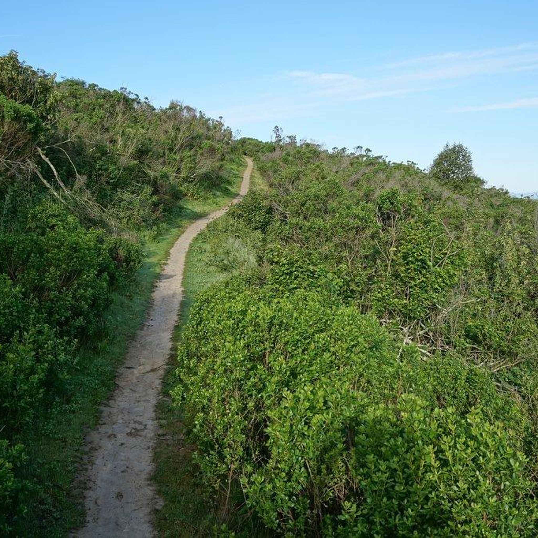
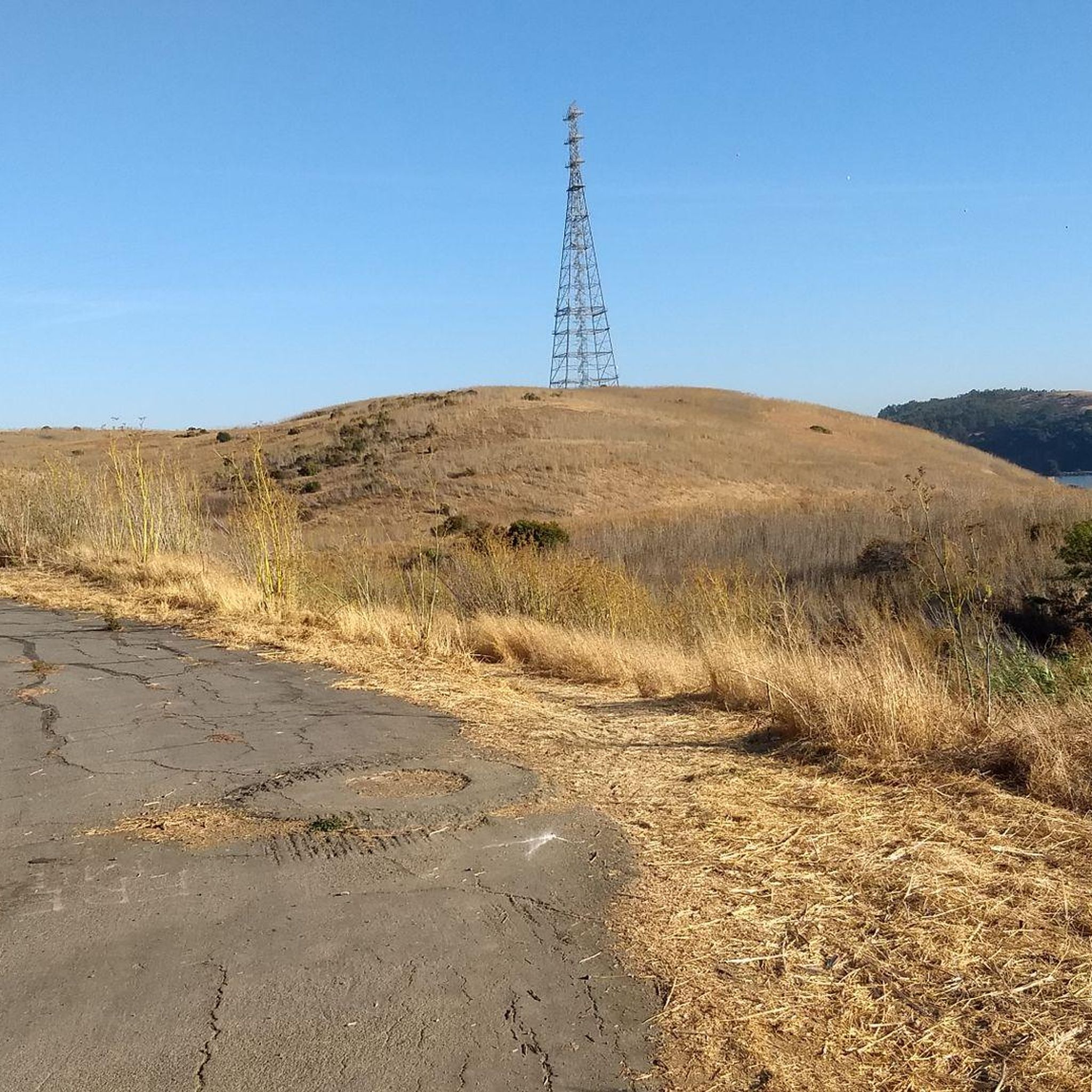
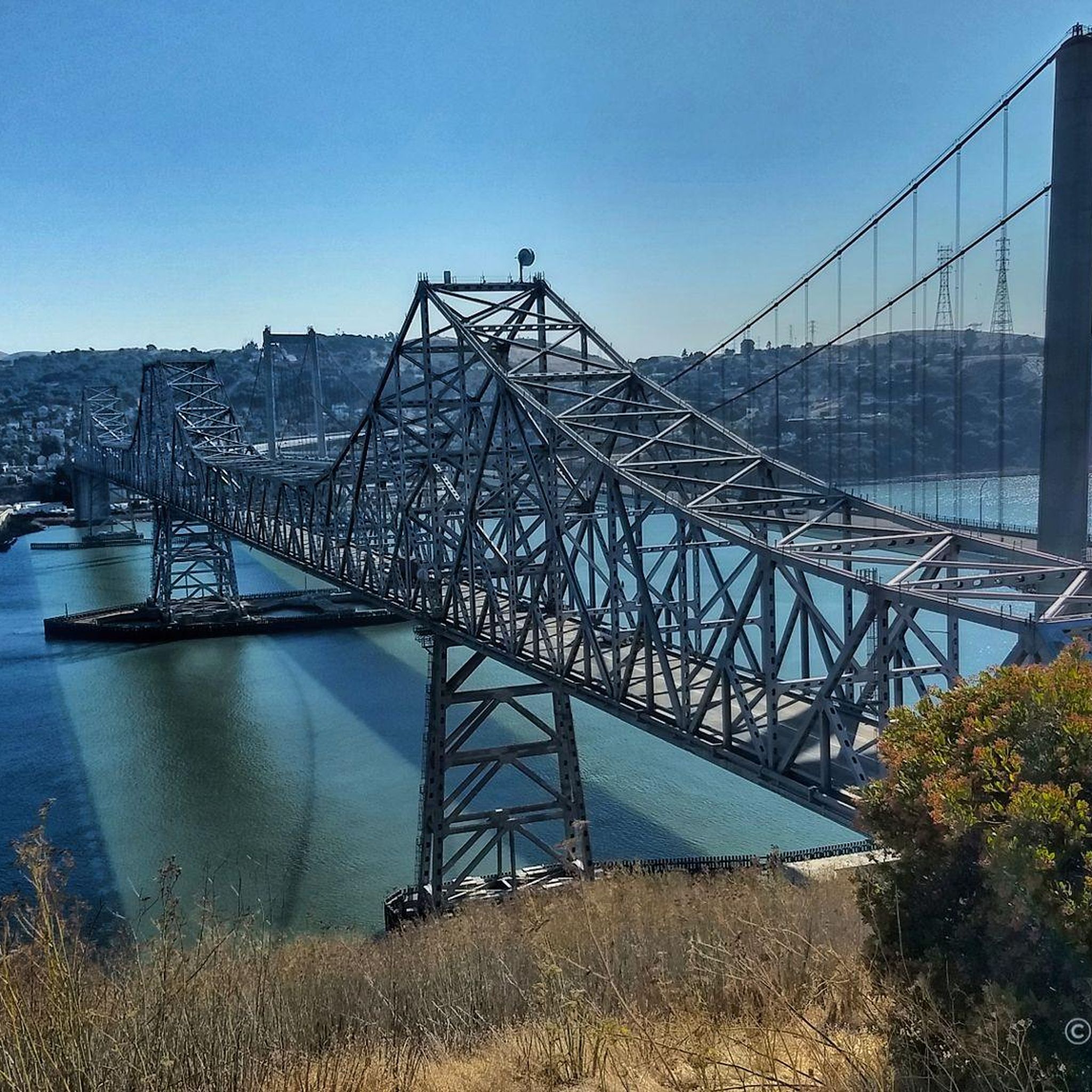
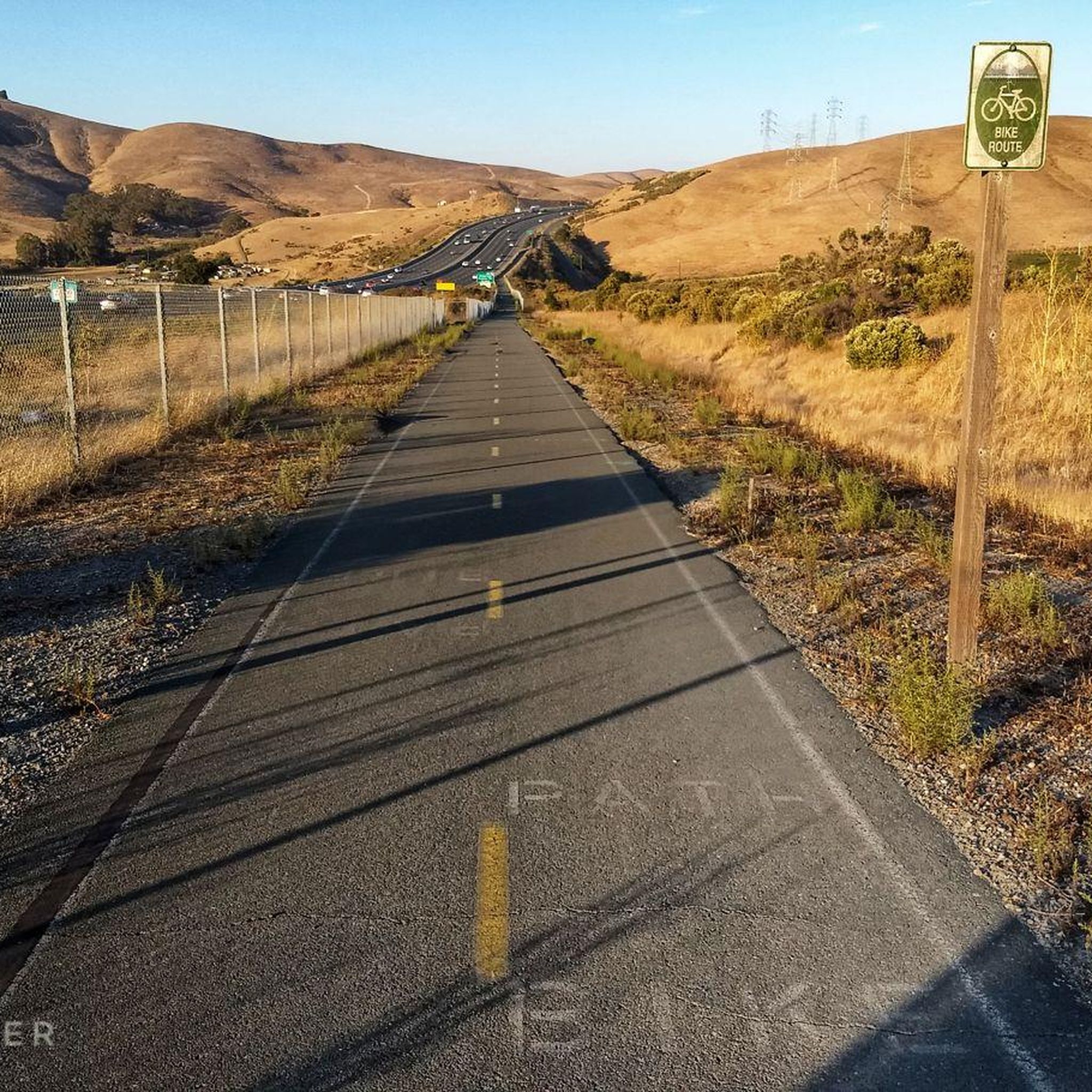
Tips from the Community

The Sugar City Trail features some small, jumpable bumps, table tops, and curvy banked turns. This attracts both intermediate riders and those seeking more excitement. While some sections are exposed, the bumps can be safely rolled over or taken with more speed to get some air. However, cows can damage the trail during wet weather, so be cautious. The trail ends on a flat section at the bottom of Big Valley Trail, allowing riders to climb back up and take multiple runs.
0
0
The Tree Frog Trail is an exhilarating flow trail designed by the same team that created the Tamarancho Flow Trail. It has quite a few turns and bumps that make for a rollercoaster ride. While it can be ridden in either direction, it's more enjoyable and safer when ridden downhill. The trail then descends through rolling hills and forest, offering shade as well.
0
1

This overlook is just one of many along the car-free road that boasts breathtaking views of the bay. The wide shoulder provides ample space to pause, take a deep breath, and marvel at the natural beauty that surrounds you.
0
0

If you're looking for a great location to take a break and enjoy a beautiful view, you've found the right place! Have a seat at one of the picnic tables and enjoy the stunning vistas of the bay.
0
0
Carquinez Scenic Drive, a once popular roadway for cars, has been closed since the 1980s due to landslides that caused damages. However, the former road has now been transformed into a beautiful paved park trail in the Carquinez Regional Shoreline Reserve on the east, and a well-rebuilt paved bike path on the west of the oil dock. The trail is a great spot for biking and offers a shaded area with several scenic viewpoints that overlook the stunning bay.
0
0
Historic Downtown Martinez is a charming district in Martinez, California. It is known for its rich history and vibrant atmosphere. Lined with historic buildings, quaint shops, and diverse eateries, the area exudes a nostalgic charm. The Martinez Museum and the historic courthouse add to the district's cultural appeal.
0
0
Martinez Regional Shoreline is a waterfront park situated in Martinez. Spanning approximately 500 acres, it features a blend of natural landscapes and recreational amenities. Enjoy a nice walk in the area while taking in the fantastic views of the Carquinez Strait. The area is a great location for birdwatching.
0
0
The Martinez Pier is part of the Martinez Regional Shoreline and located in the Carquinez Strait. In addition to being used as a fishing pier, it offers great views of the strait and the Benicia-Martinez Bridge.
0
0
Frequently Asked Questions
How many mountain bike trails are there around Vallejo?
There are over 15 mountain bike trails around Vallejo, offering a variety of experiences for different skill levels. The komoot community has explored these routes over 300 times.
Are there mountain bike trails suitable for beginners in Vallejo?
Yes, Vallejo offers several easy mountain bike trails. For instance, the Edwards & Soaring Eagle Trail loop — Crockett Hills Regional Park is an easy 4.7-mile path that provides extensive views and is a great singletrack option. Another easy route is the Black Phoebe, Whipsnake & Windmill Trail loop — Fernandez Ranch.
What are some more challenging mountain bike trails around Vallejo?
For those seeking a moderate challenge, the Flow Trail Loop — Crockett Hills Regional Park is a popular choice. This 15.4-mile trail features significant climbing and descents within Crockett Hills Regional Park. The Carquinez Strait area also offers challenging sections with rocky and technical terrain.
Are there mountain bike trails in Vallejo with scenic views?
Absolutely. Many trails in and around Vallejo offer stunning scenic views. The Franklin Ridge Loop Trail — Carquinez Strait Regional Shoreline provides varied terrain with views of the Carquinez Strait. Trails in Crockett Hills Regional Park and along the San Pablo Bay and Carquinez Strait often feature panoramic vistas of the bay, rolling hills, and the Alfred Zampa Memorial Bridge.
Can I find loop trails for mountain biking in Vallejo?
Yes, several mountain bike trails in the Vallejo area are designed as loops. Examples include the Flow Trail Loop — Crockett Hills Regional Park and the Edwards & Soaring Eagle Trail loop — Crockett Hills Regional Park. The Franklin Ridge Loop Trail — Carquinez Strait Regional Shoreline is another excellent loop option.
What is the best time of year for mountain biking in Vallejo?
Vallejo's climate generally allows for mountain biking year-round. Spring and fall offer pleasant temperatures and vibrant landscapes, while winter can provide cooler rides. Always check local trail conditions before heading out, especially after rain, as some trails may become muddy.
Are there any family-friendly mountain bike routes in Vallejo?
For families, easy routes like the Edwards & Soaring Eagle Trail loop — Crockett Hills Regional Park are a good starting point. Many parks, such as Blue Rock Springs Park and Dan Foley Park, offer amenities like picnic areas and play spaces, making them suitable for a family outing that includes a bike ride.
What kind of wildlife might I encounter on the trails?
The diverse landscapes around Vallejo, including oak woodlands, grasslands, and waterfront areas, are home to various wildlife. You might spot birds like the Northern Harrier, especially in preserves like the Mare Island Shoreline Heritage Preserve, which is known for birdwatching. Keep an eye out for other local fauna as you ride.
What do other mountain bikers say about the trails in Vallejo?
The mountain bike trails around Vallejo are highly rated by the komoot community, with an average score of 4.6 stars from over 50 reviews. Riders often praise the varied terrain, the scenic waterfront views, and the options available for different ability levels.
Are there any nearby attractions or points of interest I can visit after my ride?
Yes, Vallejo and its surroundings offer several attractions. You can explore the historic Mare Island, visit the Dotson Family Marsh, or enjoy the waterfront at Martinez Regional Shoreline. For more natural beauty, consider visiting Refugio Lake or Grey Goose Lake.
Is public transport available to reach mountain bike trailheads in Vallejo?
Vallejo has a local public transit system, SolTrans, which serves the city and connects to regional transit. While direct access to all trailheads via public transport might be limited, some routes may get you close to major parks and open spaces. It's advisable to check specific routes and schedules with SolTrans for the most accurate information.
Where can I find parking near mountain bike trails in Vallejo?
Many of the regional parks and open spaces around Vallejo, such as Crockett Hills Regional Park, Mare Island Shoreline Heritage Preserve, and Lynch Canyon Open Space Park, offer designated parking areas at their trailheads. It's always a good idea to check the specific park's website or komoot tour details for parking information before your visit.
Are there any less crowded mountain bike trails in the Vallejo area?
While popular trails like the Flow Trail Loop can see more activity, exploring routes in areas like Fernandez Ranch or some of the less-trafficked segments within the Carquinez Strait Regional Shoreline might offer a quieter experience. Early mornings or weekdays are generally the best times to find fewer people on any trail.
Most popular attractions around Vallejo

Get inspired with the komoot mobile app


Explore more
Browse the best MTB trails in other regions.
