The best road cycling routes around Tiburon
4.6
(404)
20,118
riders
139
rides
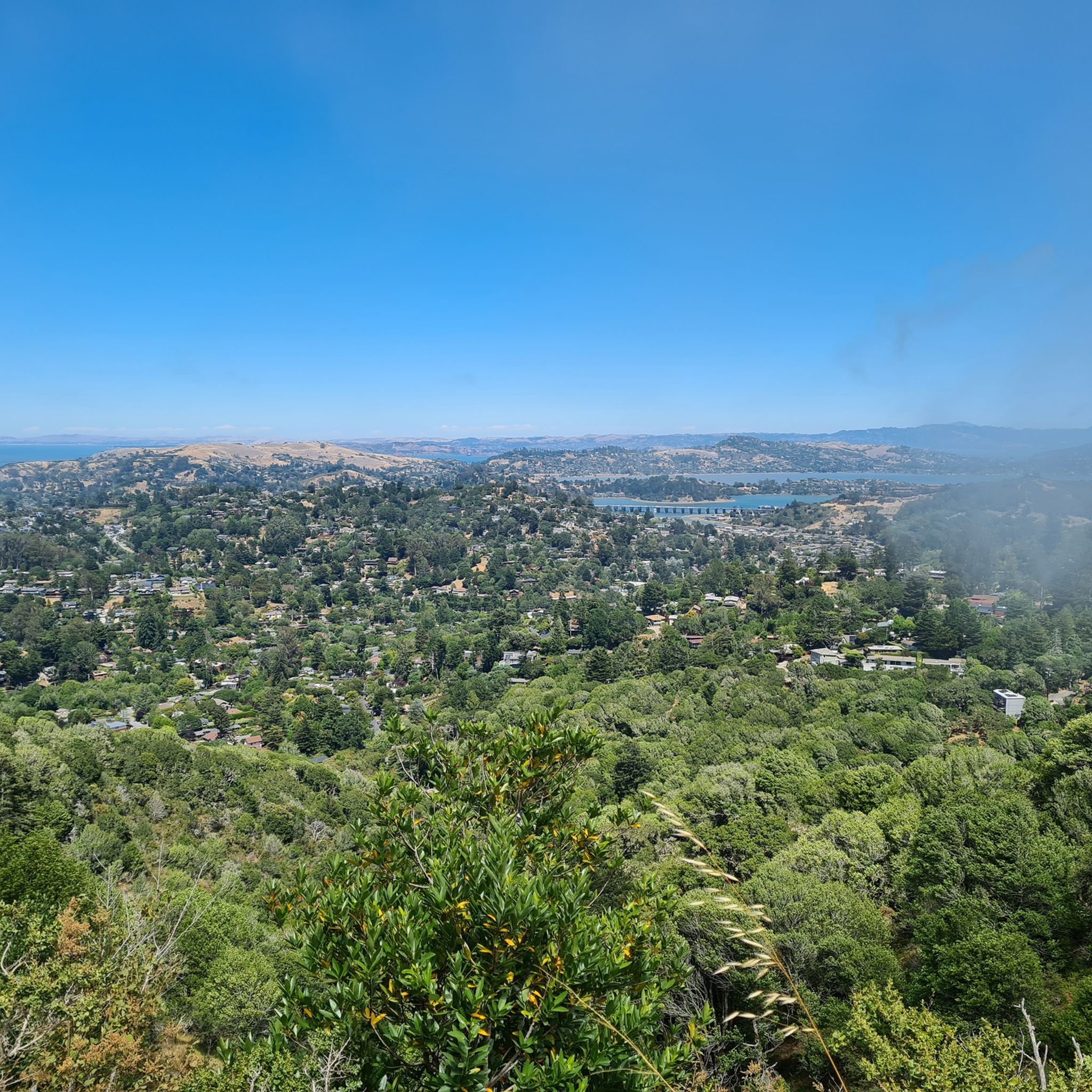
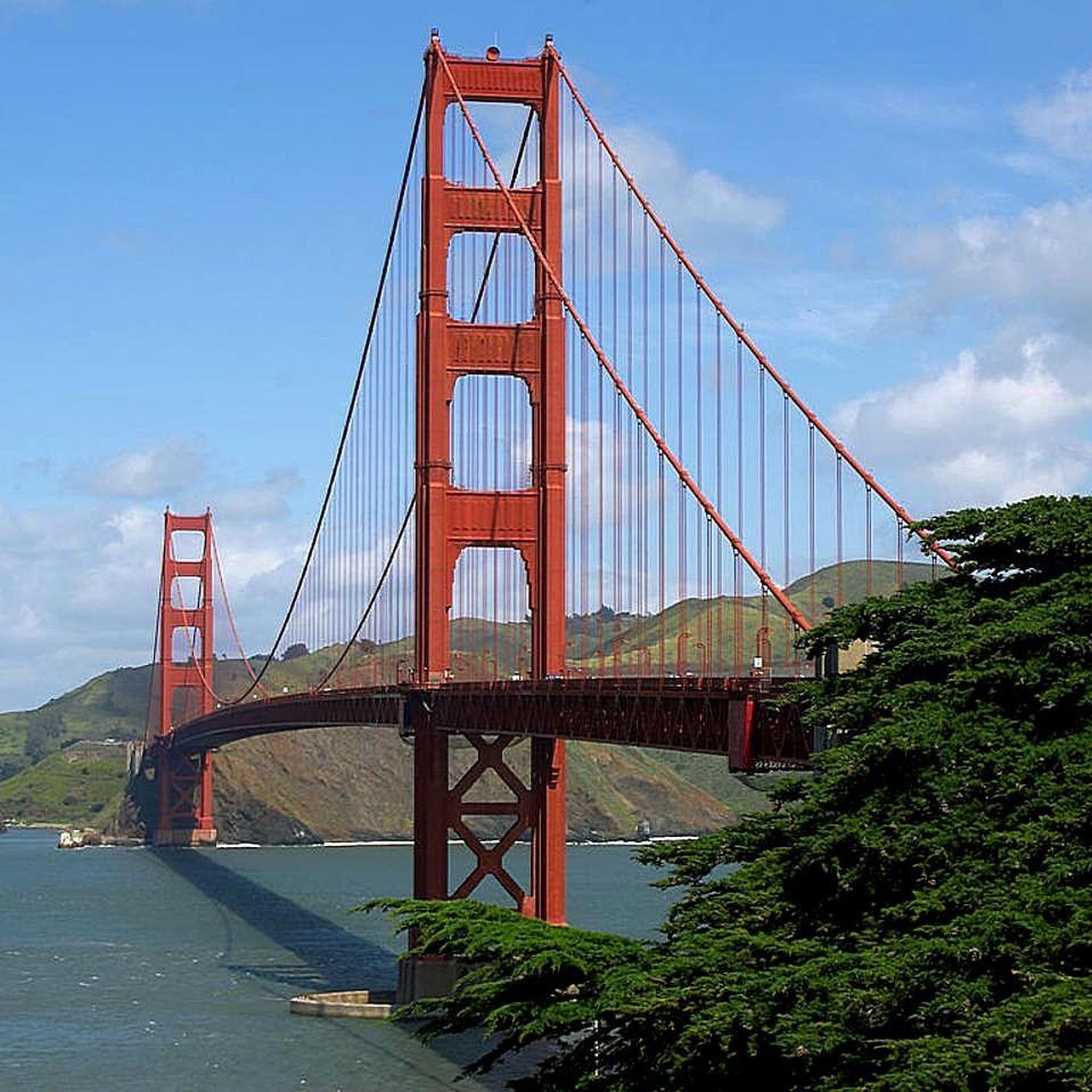
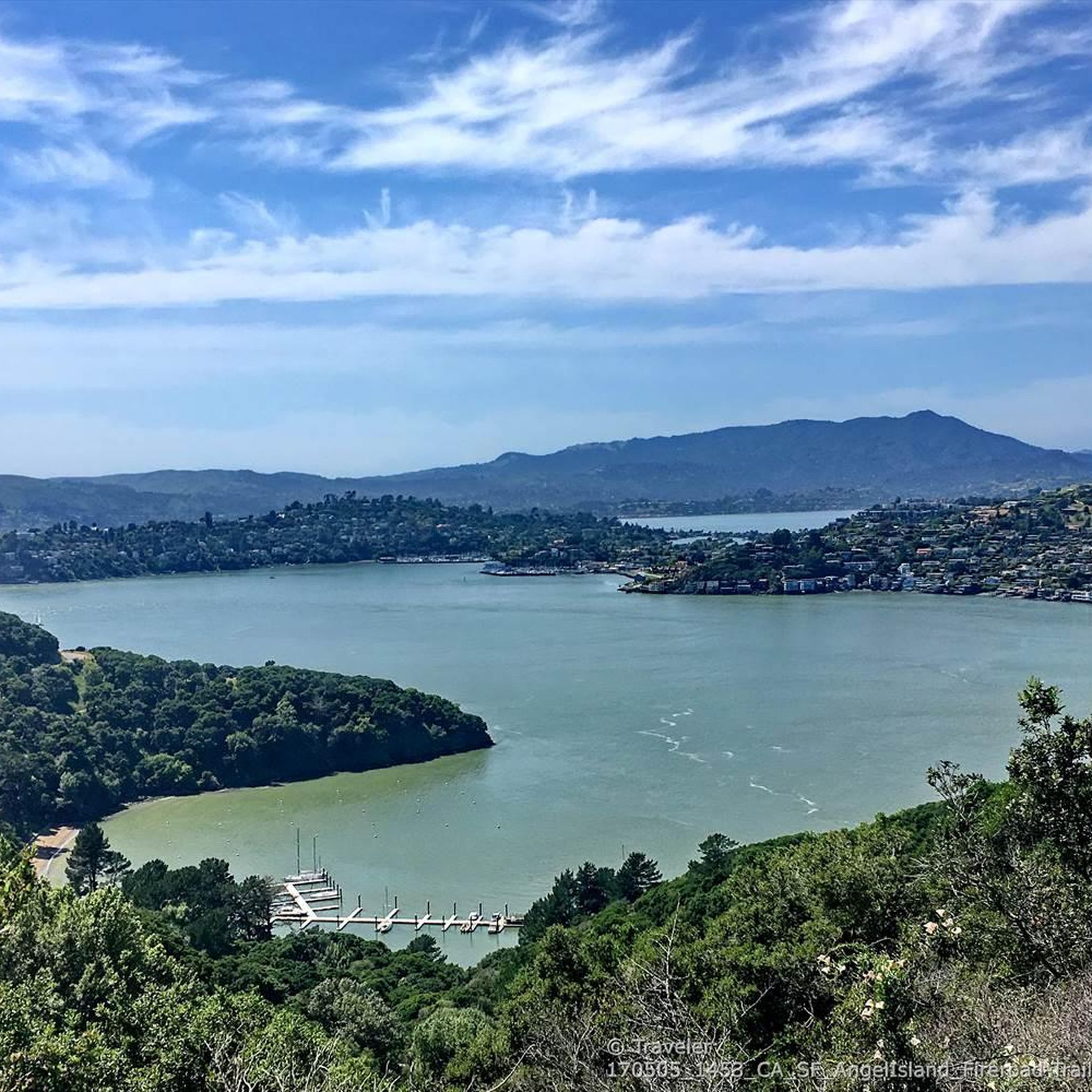
Road cycling routes around Tiburon are situated on a peninsula in Marin County, California, offering diverse terrain for cyclists. The area features well-paved routes with consistent views of the San Francisco Bay, the Golden Gate Bridge, and surrounding hills. Road cyclists can find routes ranging from scenic coastal paths to more challenging ascents with significant elevation gain. This region provides a variety of landscapes suitable for different fitness levels.
Best road cycling routes around Tiburon
- The most popular road cycling route is San Francisco Bay Trail: Tiburon Loop, a 26.1 miles (42.0 km) trail that takes 1 hour 51 minutes to complete. This moderate route provides views of Angel Island and the San Francisco skyline.
- Another top favourite among local road cyclists is Pan Toll Road via Panoramic Highway, a moderate 19.3 miles (31.0 km) path. This route offers views of the Bay Area with notable elevation gain.
- Local road cyclists also love the Sir Francis Drake and Cross Marin Trail Loop, a 41.7 miles (67.1 km) trail combining varied sections of Sir Francis Drake Boulevard with the scenic Cross Marin Trail, often completed in about 3 hours 11 minutes.
- Road cycling around Tiburon is defined by coastal paths, Bay views, and varied hills, with options for different ability levels. The network includes routes along the San Francisco Bay and paths leading to higher elevations.
- The routes in Tiburon are highly rated by the komoot community with an average score of 4.7 stars from over 350 reviews. More than 20,000 road cyclists have used komoot to explore Tiburon's varied terrain.
Last updated: September 29, 2026
5.0
(11)
320
riders
42.0km
01:52
360m
360m
Moderate road ride. Good fitness required. Mostly well-paved surfaces and easy to ride.
4.7
(3)
256
riders
93.5km
04:40
1,130m
1,130m
Hard road ride. Very good fitness required. Mostly well-paved surfaces and easy to ride.

5.0
(2)
136
riders
31.0km
01:52
710m
710m
Moderate road ride. Good fitness required. Mostly well-paved surfaces and easy to ride.
89
riders
67.1km
03:12
700m
700m
Moderate road ride. Good fitness required. Mostly well-paved surfaces and easy to ride.
33
riders
111km
05:10
1,140m
1,140m
Hard road ride. Very good fitness required. Mostly well-paved surfaces and easy to ride.
Get access to more routes and recommendations from other explorers.
Already have an account?
Our route recommendations are based on thousands of hikes, rides, and runs completed by other people on komoot.
Start today with a free account
Your next adventure awaits.


Tips from the Community


The Old Tiburon Rail Trail is a scenic 2.6-mile path along the San Francisco Bay, with breathtaking water views and Mt. Tamalpais. Starting at Blackie's Pasture, it winds past coastal mudflats full of wildlife before transitioning into an on-street bike lane leading to downtown Tiburon. It's a fantastic, smooth ride with historical markers, parks, and a ferry terminal at the trail's end, making it an ideal place to enjoy nature and local history for a day away from the big city.
0
1

The Pantoll Campground is a First-come/first-serve site in Mt. Tamalpais State Park. Each site has a barbeque grill, a fire ring, and a picnic table. You need to pay for the site at the Ranger Station as you enter the park.
1
0

Now open for more than a hundred years, this inn welcomes visitors high on the flanks of Mount Tamalpais. The guestrooms mostly face east, but the grounds include great vantages to the west over the Bay. There's also a restaurant, and this has been voted one of the most romantic spots in the Bay Area several times over.
0
0


This being the lowest point to cross the San Rafael ridge it's great the recent revamp of this bottleneck included improving the dedicated wide bike trail, paved and lighted with several tunnels and sound protection parallel to the widened Hwy 101 freeway and the partially tunnelled SMART railway.
1
0
This trail, part of the Pacific Coast Bike Trail (PCB), is a fantastic, mostly paved two-lane bike route that follows Lagunitas Creek under towering redwood forests and runs parallel to Sir Francis Drake Boulevard on the other side of the valley. It continues south from the campground all the way to the southern exit of the Park.
0
0
Frequently Asked Questions
How many road cycling routes are available around Tiburon?
There are over 140 road cycling routes around Tiburon, offering a wide variety of options for different skill levels and preferences. You can find routes ranging from easy coastal paths to more challenging ascents.
What types of road cycling routes can I find in Tiburon?
Tiburon offers a diverse range of road cycling experiences. You'll find well-paved routes with consistent views of the San Francisco Bay, the Golden Gate Bridge, and surrounding hills. Options include scenic coastal paths, such as the San Francisco Bay Trail: Tiburon Loop, and more challenging ascents like the Pan Toll Road via Panoramic Highway, which features significant elevation gain.
Are there easy road cycling routes suitable for beginners or families in Tiburon?
Yes, Tiburon has several easy routes perfect for beginners or family-friendly rides. The Old Tiburon Rail Trail is a scenic, paved path along the San Francisco Bay, offering breathtaking water views and glimpses of Mount Tamalpais. It's suitable for various fitness levels and transitions into an on-street bike lane leading to downtown Tiburon.
Where can I find more challenging road cycling routes in the Tiburon area?
For more advanced cyclists seeking a challenge, routes like the Shoreline Highway loop from Sausalito offer significant elevation gain and longer distances. Another option is the Pan Toll Road via Panoramic Highway, which provides stunning Bay Area views with notable climbs.
What are some scenic overlooks or points of interest along Tiburon's cycling routes?
Many routes in Tiburon offer panoramic vistas of the San Francisco Bay, the Golden Gate Bridge, and the San Francisco skyline. Conzelman Road, for example, provides awesome views of the Golden Gate Bridge and the headlands. You can also find highlights like the Golden Gate Bridge itself, or the Sunrise Site, which offers great views.
What do other road cyclists say about the routes in Tiburon?
The road cycling routes in Tiburon are highly rated by the komoot community, with an average score of 4.7 stars from over 350 reviews. Cyclists often praise the stunning Bay views, well-maintained paths, and the variety of terrain available for different skill levels.
Are there any less crowded road cycling options in Tiburon?
While popular routes like the Tiburon Loop can see moderate traffic, especially in downtown areas, exploring routes that venture further into areas like the Tiburon Ridge Preserve can offer a more secluded experience. These areas often feature trails with 360-degree views and fewer people.
What is the best time of year to go road cycling in Tiburon?
Tiburon offers pleasant cycling conditions for much of the year. Spring and fall generally provide mild temperatures and clear skies, ideal for enjoying the scenic views. Summer can be warm but often benefits from coastal breezes. Winter cycling is also an option, though you should check weather conditions for rain, which can occur.
Are there places to stop for refreshments or cafes along the road cycling routes?
Yes, many routes, especially those passing through or near downtown Tiburon, offer access to cafes and restaurants. The Old Tiburon Rail Trail, for instance, leads directly into downtown Tiburon where you can find various establishments. Additionally, some routes might pass by facilities like the West Point Inn or the Warming Hut and Fishing Pier, which can offer refreshments.
What natural features or parks can I explore near the cycling routes?
Beyond the cycling paths, Tiburon is rich in natural beauty. You can visit the Tiburon Uplands Nature Preserve for scenic hiking trails, or the Old St. Hilary's Open Space Preserve, known for its wildflowers and bay views. The Richardson Bay Audubon Center & Sanctuary is also nearby for birdwatching. For expansive views, Mount Tamalpais State Park is a prominent feature overlooking the bay.
Are there any historical sites or landmarks accessible from the road cycling routes?
Yes, Tiburon's location offers access to several historical sites and landmarks. You can cycle past the Golden Gate Bridge, or explore areas near Fort Point. A short ferry ride from Tiburon can also take you to Angel Island State Park, which features historical sites like the Immigration Station Museum.
Most popular attractions around Tiburon

Get inspired with the komoot mobile app


Explore more
Browse the best Road cycling routes in other regions.
