The best walks and hikes around Oleftalsperre
4.6
(16261)
61,348
hikers
1,030
hikes
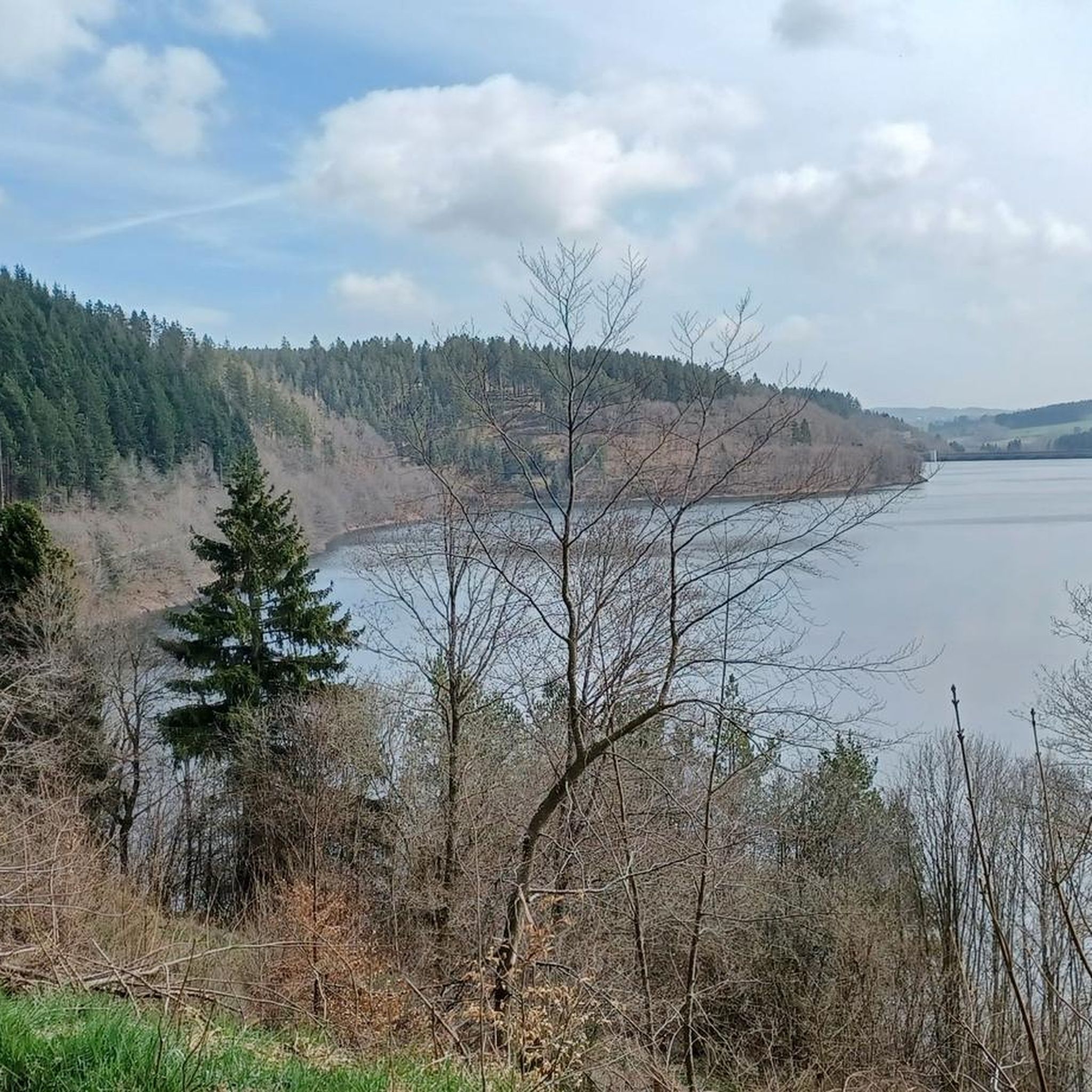
Hiking around Oleftalsperre offers a diverse landscape within the High Fens-Eifel Nature Park in Germany. The region is characterized by the Oleftalsperre reservoir, extensive forests, and undulating hills, forming part of a Flora-Fauna-Habitat area. The terrain includes meadows and streams, providing varied natural features for outdoor activities. This area is known for its well-preserved ecosystem and the tranquility of its waterscapes.
Best hiking trails around Oleftalsperre
- The most popular hiking route is Eagle's View Eifel Loop, a 4.5 miles (7.3 km) trail that takes 2 hours 3 minutes to complete. This route offers continuous views of the surrounding forested environment.
- Another top favourite among local hikers is Oleft Reservoir Parking Lot – Oleftalsperre Dam loop from Hellenthal, a moderate 4.7 miles (7.6 km) path. This trail follows the reservoir's edge, providing views of the dam wall and the water.
- Local hikers also love the Oleftalsperre Dam – Olef Reservoir loop from Hellenthal, a 1.3 miles (2.1 km) trail leading through forested areas and along the reservoir, often completed in about 36 minutes.
- Hiking around Oleftalsperre is defined by the reservoir, extensive forests, and the hilly Eifel terrain. The network offers options for different ability levels, including accessible paths.
- The routes in Oleftalsperre are highly rated by the komoot community with an average score of 4.6 stars from over 15,000 reviews. More than 60,000 hikers have used komoot to explore Oleftalsperre's varied terrain.
Last updated: June 30, 2026
4.4
(194)
678
hikers
7.28km
02:03
150m
150m
Hike the moderate EifelSchleife Eagle's view trail for 4.5 miles (7.3 km) to enjoy reservoir views and potential eagle sightings.
4.4
(91)
292
hikers
7.45km
02:10
200m
200m
Moderate hike. Good fitness required. Easily-accessible paths. Suitable for all skill levels.

Sign up for free
3.8
(5)
33
hikers
4.08km
01:10
90m
100m
Easy hike. Great for any fitness level. Easily-accessible paths. Suitable for all skill levels.
4.7
(48)
138
hikers
11.4km
03:13
240m
240m
Moderate hike. Good fitness required. Easily-accessible paths. Suitable for all skill levels.
4.2
(21)
85
hikers
7.27km
01:58
100m
100m
Easy hike. Great for any fitness level. Easily-accessible paths. Suitable for all skill levels.
Get access to more routes and recommendations from other explorers.
Sign up for free
Already have an account?
Our route recommendations are based on thousands of hikes, rides, and runs completed by other people on komoot.
Start today with a free account
Your next adventure awaits.
Login or Signup
Tips from the Community

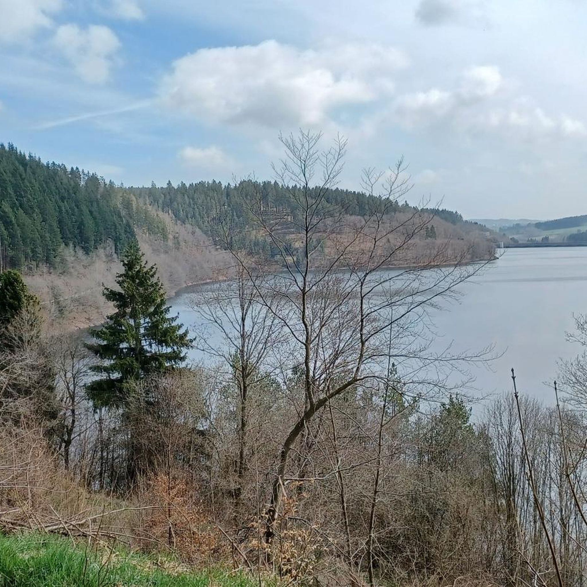
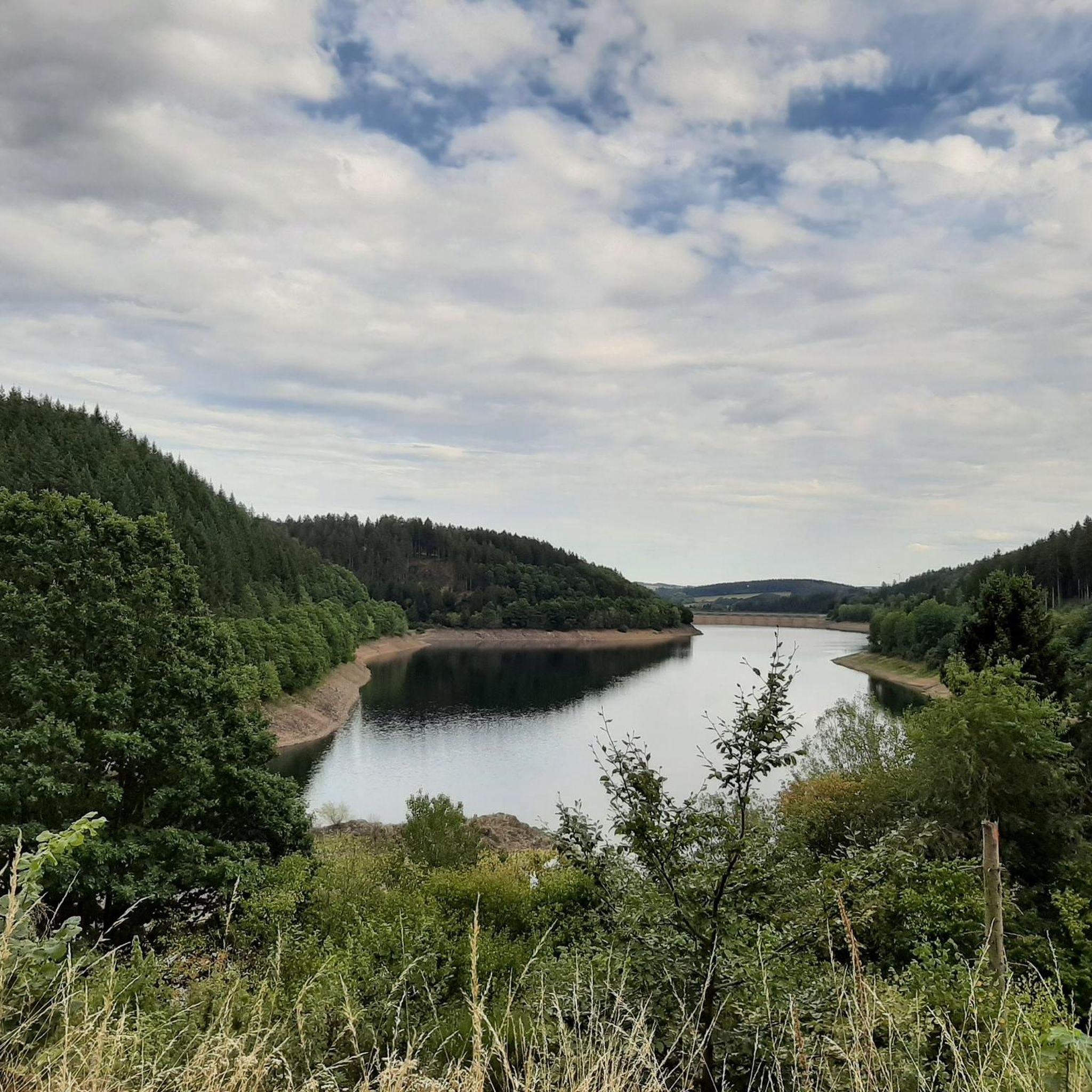
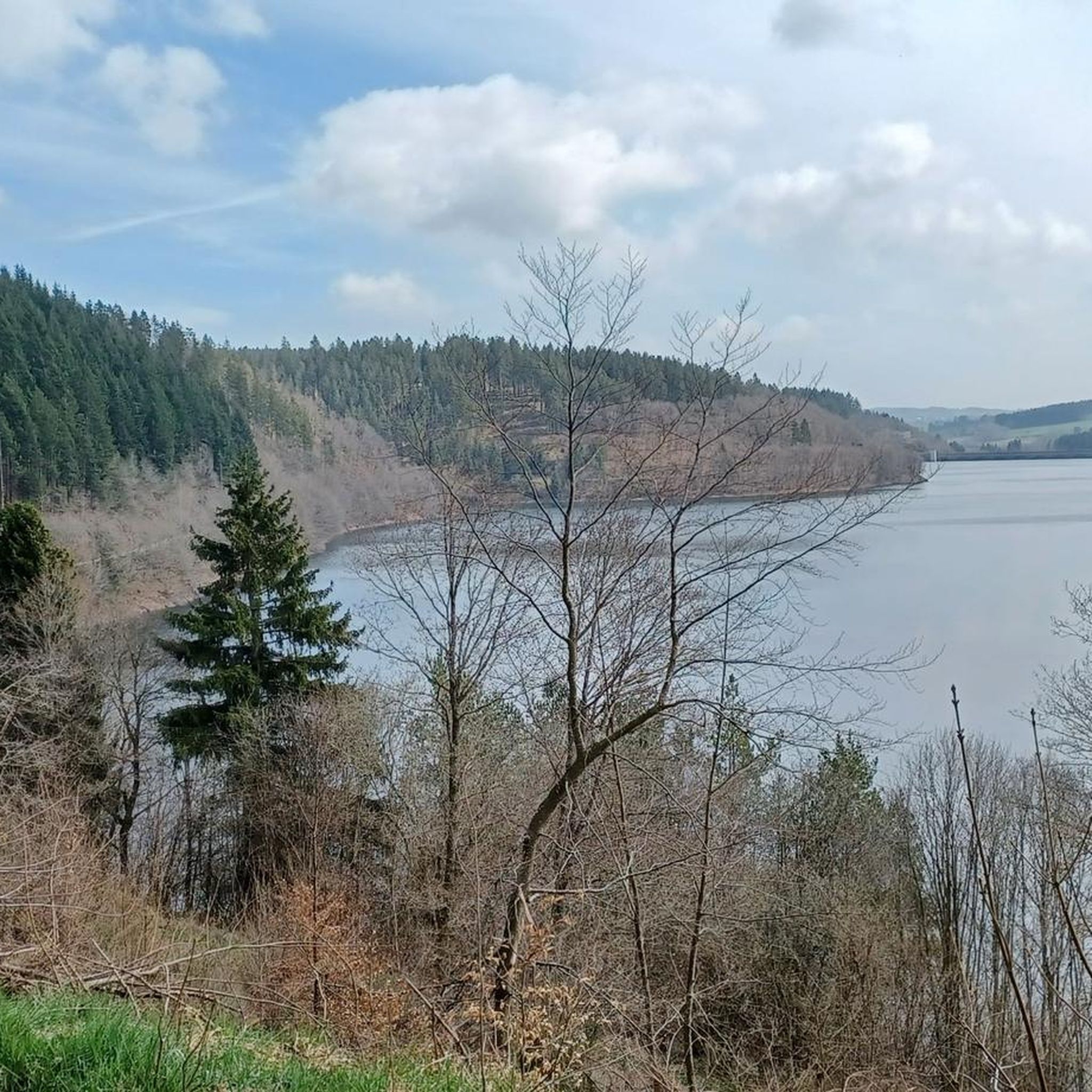
A paved path runs along the Olef Reservoir, popular with cyclists. The circuit is just under 14 km long, offering beautiful views of the reservoir along the way. Numerous benches invite you to take a break.
0
0
The dam wall of the Olef Reservoir rises majestically. It is almost 60 meters high. You can walk along the crest and look out over the lake.
0
0

The loop around the Olef Dam is approximately 14km long. It's a very pleasant walk or bike ride. There are benches and shelters at regular intervals.
0
0
Oleftalsperre dam. After a steep climb, a fixed circular path of approximately 14km lies ahead.
1
0

Dam construction period: 1954–1959 Height above valley floor: 54.6 m Crest length: 282 m Crest width: 5.7 m
0
0

The special wooden loungers are a great invention!
0
0
The unique dam structure of the Oleftalsperre is very impressive from this height! Top!
0
0

Frequently Asked Questions
How many hiking trails are available around Oleftalsperre?
There are over 1,000 hiking trails available around Oleftalsperre, catering to various preferences and fitness levels. This includes a good mix of easy, moderate, and some more challenging routes.
What kind of terrain and difficulty can I expect on hikes around Oleftalsperre?
The Oleftalsperre region offers diverse terrain, primarily characterized by extensive forests, undulating hills, and tranquil waterscapes around the reservoir. You'll find paths through meadows, along streams, and some striking rock formations. The majority of routes are classified as easy (over 500) or moderate (over 400), with a smaller number of difficult trails available.
Are there many circular hiking trails around Oleftalsperre?
Yes, circular hiking trails are a highlight of the Oleftalsperre area. The well-developed circular route around the reservoir itself is a primary attraction, offering continuous scenic views. An example is the View of Oleftalsperre – Junction to Waldkapelle loop from Harperscheid, which provides an immersive experience of the natural surroundings.
Are there family-friendly hiking options near Oleftalsperre?
Absolutely. The Oleftalsperre offers accessible paths suitable for families, including sections manageable for children and even prams. Many of the easy routes, such as the Trail along the Oleftalsperre – Oleftalsperre Dam loop from Hellenthal, are ideal for a leisurely family outing.
Can I bring my dog on hikes around Oleftalsperre?
The Oleftalsperre area is generally dog-friendly, with many trails winding through forests and along the reservoir. It's always recommended to keep dogs on a leash, especially in nature protection areas and near wildlife, to ensure the safety and enjoyment of all visitors and local fauna.
What are the best times of year to hike around Oleftalsperre?
The Oleftalsperre is beautiful year-round. Spring brings lush greenery and blooming flora, while autumn offers vibrant foliage. Summer is excellent for longer hikes, and even winter can be magical with snow-covered landscapes. The trails are generally well-maintained, making them accessible in most seasons, though conditions can vary.
What interesting landmarks or natural features can I see along the hiking trails?
The central feature is the impressive Oleftalsperre reservoir itself, with its unique 'Pfeilerzellenbauweise' dam wall. You can also explore the North Shore of the Oleftalsperre, the Oleft Reservoir Peninsula, and the flooded forest near the inlet to the reservoir. The area is part of the Flora-Fauna-Habitat-Gebiet Oleftal, indicating rich biodiversity.
Where can I find parking for hiking trails around Oleftalsperre?
Parking is generally available at key access points around the Oleftalsperre. Many routes, such as the Oleft Reservoir Parking Lot – Oleftalsperre Dam loop from Hellenthal, start directly from designated parking areas, making access convenient for hikers.
Are there any panoramic viewpoints along the Oleftalsperre trails?
Yes, the hiking trails around Oleftalsperre are known for offering 'dreamlike views' over the reservoir and the surrounding hilly Eifel landscape. Routes often provide continuous scenic vistas, especially those that follow the water's edge or ascend to higher points.
What do other hikers enjoy most about hiking in Oleftalsperre?
The Oleftalsperre area is highly rated by the komoot community, with an average score of 4.6 stars from over 15,500 reviews. Reviewers often praise the tranquil waterscapes, the extensive forested environment, and the well-maintained circular trails that offer continuous scenic views away from urban traffic.
Is there a specific marked long-distance trail around the Oleftalsperre?
Yes, the EifelSchleife 'Um die Oleftalsperre' is a well-known marked route that provides an immersive experience around the reservoir. This trail allows hikers to enjoy the tranquility of nature with moderate elevation gains.
What is the typical elevation gain on hikes in this region?
Hikes around Oleftalsperre feature varied elevation gains. For example, the Eagle's View Eifel Loop has an elevation gain of about 154 meters, while the Trail along the Oleftalsperre has a gentler gain of around 90 meters. The region's undulating hills mean you'll encounter some ascents and descents, but many routes are manageable.
Are there any attractions nearby that can be combined with a hike?
Yes, a short distance from the Oleftalsperre is the Hellenthal wildlife enclosure, which offers an opportunity to experience local wildlife up close. This can be a popular side trip, especially for families, to complement a day of hiking.
Most popular routes around Oleftalsperre
Most popular attractions around Oleftalsperre

Get inspired with the komoot mobile app


Explore more
Browse the best Hikes in other regions.
