The best road cycling routes around Monte Sereno
4.5
(137)
4,999
riders
162
rides
Road cycling routes around Monte Sereno traverse a landscape characterized by rolling hills, scenic reservoirs, and winding roads that offer varied elevation changes. The region features routes that climb towards higher elevations, providing expansive views, and others that follow more gentle paths around natural water bodies. Road cyclists can expect a mix of open roads and sections that pass through more wooded areas, typical of the Santa Cruz Mountains foothills.
Best road cycling routes around Monte Sereno
- The most popular…
Last updated: September 29, 2026
5.0
(1)
88
riders
89.9km
05:17
1,500m
1,500m
Hard road ride. Very good fitness required. Some segments of this route may be unpaved and difficult to ride.
30
riders
27.8km
01:18
320m
320m
Moderate road ride. Good fitness required. Mostly well-paved surfaces and easy to ride.

27
riders
90.8km
04:37
1,230m
1,230m
Hard road ride. Very good fitness required. Some segments of this route may be unpaved and difficult to ride.
22
riders
50.8km
02:27
610m
610m
Moderate road ride. Good fitness required. Mostly well-paved surfaces and easy to ride.
5.0
(1)
23
riders
14.8km
00:39
70m
70m
Easy road ride. Great for any fitness level. Mostly well-paved surfaces and easy to ride.
Get access to more routes and recommendations from other explorers.
Already have an account?
Our route recommendations are based on thousands of hikes, rides, and runs completed by other people on komoot.
Start today with a free account
Your next adventure awaits.

Tips from the Community

Great bar. Friendly helpful staff/owner simple ordering system. Great place to watch the world go by with a beer 🍻
0
0

The Los Gatos Creek Trail offers a safe paved trail for walkers, joggers, cyclists, skaters, and nature lovers. Spanning multiple jurisdictions, it runs from San Jose through Campbell and Los Gatos, managed by agencies from these areas. The Campbell section has some nice shady spots, a gazebo, and an exercise circuit near Campbell Park; the whole trail spans about 10 miles.
0
0

A short but punchy climb, Bailey Road offers a steady ascent with a few steeper pitches, surrounded by open fields and views of the Coyote Valley. Traffic is usually light, and the pavement is in good condition. It’s not overly long, but just enough to get your heart rate up, perfect for intervals or linking into a longer ride.
0
0
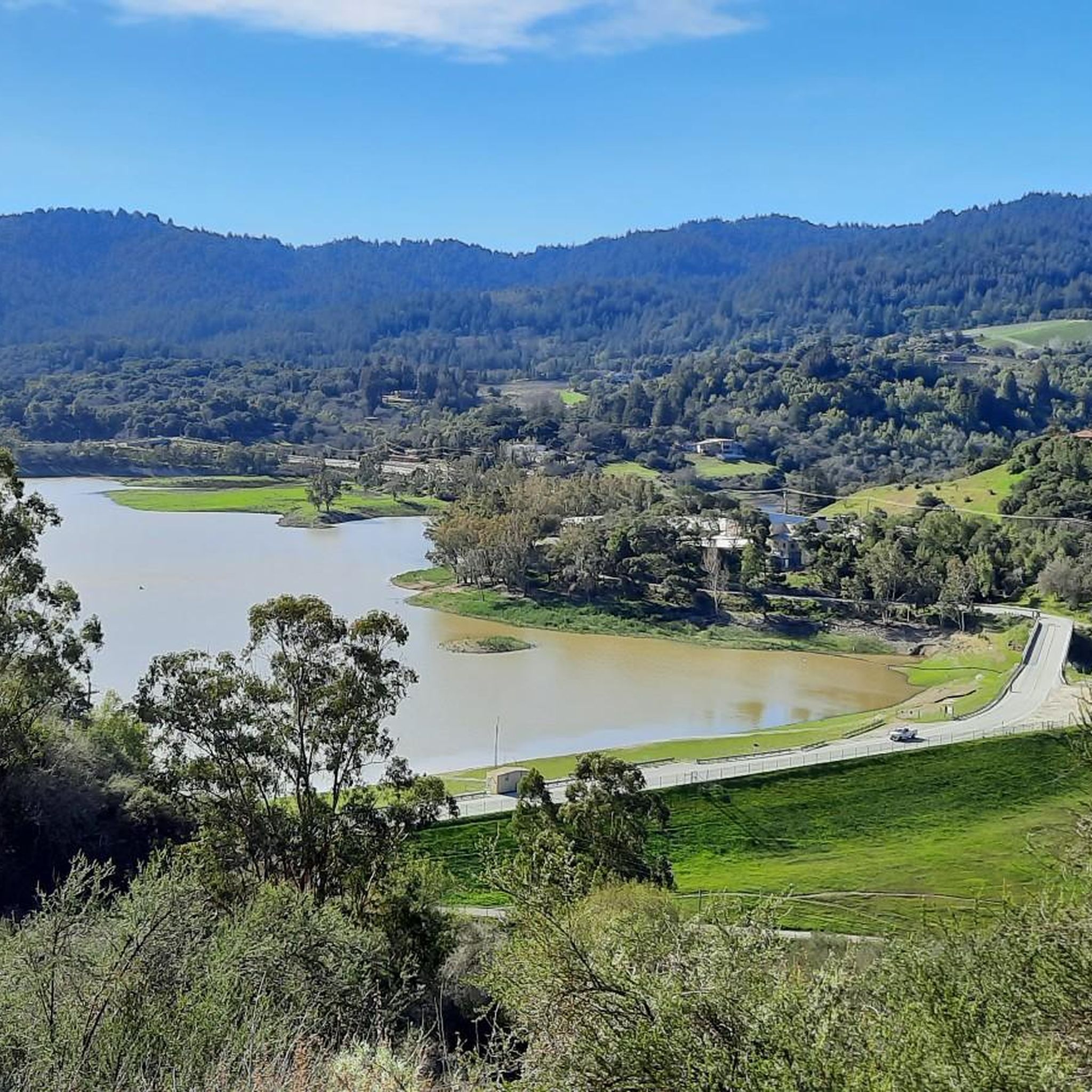
A scenic stop just off the winding roads of the Santa Cruz Mountains, Lexington Reservoir County Park is a great spot to catch your breath and enjoy the view. The smooth pavement along Alma Bridge Road makes it a popular stretch for cyclists, with rolling terrain and minimal traffic. There's parking, restrooms, and shaded areas if you need a break. From here, you can loop toward Los Gatos or push deeper into the climbs of Highway 17 and Old Santa Cruz Highway.
0
0
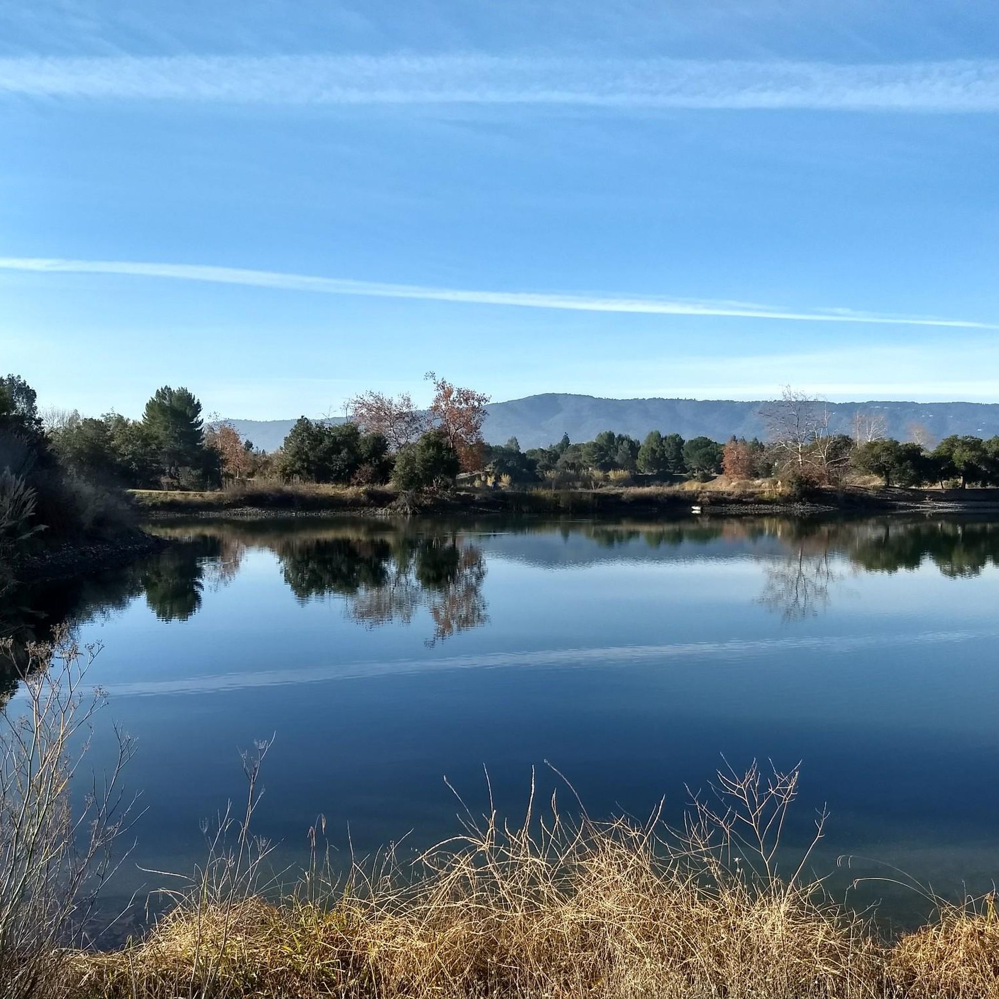
Vasona Reservoir, located on Los Gatos Creek, is surrounded by the 152-acre Vasona Lake County Park. Built in 1935 as one of six original reservoirs approved by voters in 1934. Vasona Reservoir holds 495 acre-feet of water and spans 57 acres. The park offers picnicking, catch-and-release fishing, and human-powered boating. Swimming is not permitted. It's a great spot for photography and sunrises.
1
0
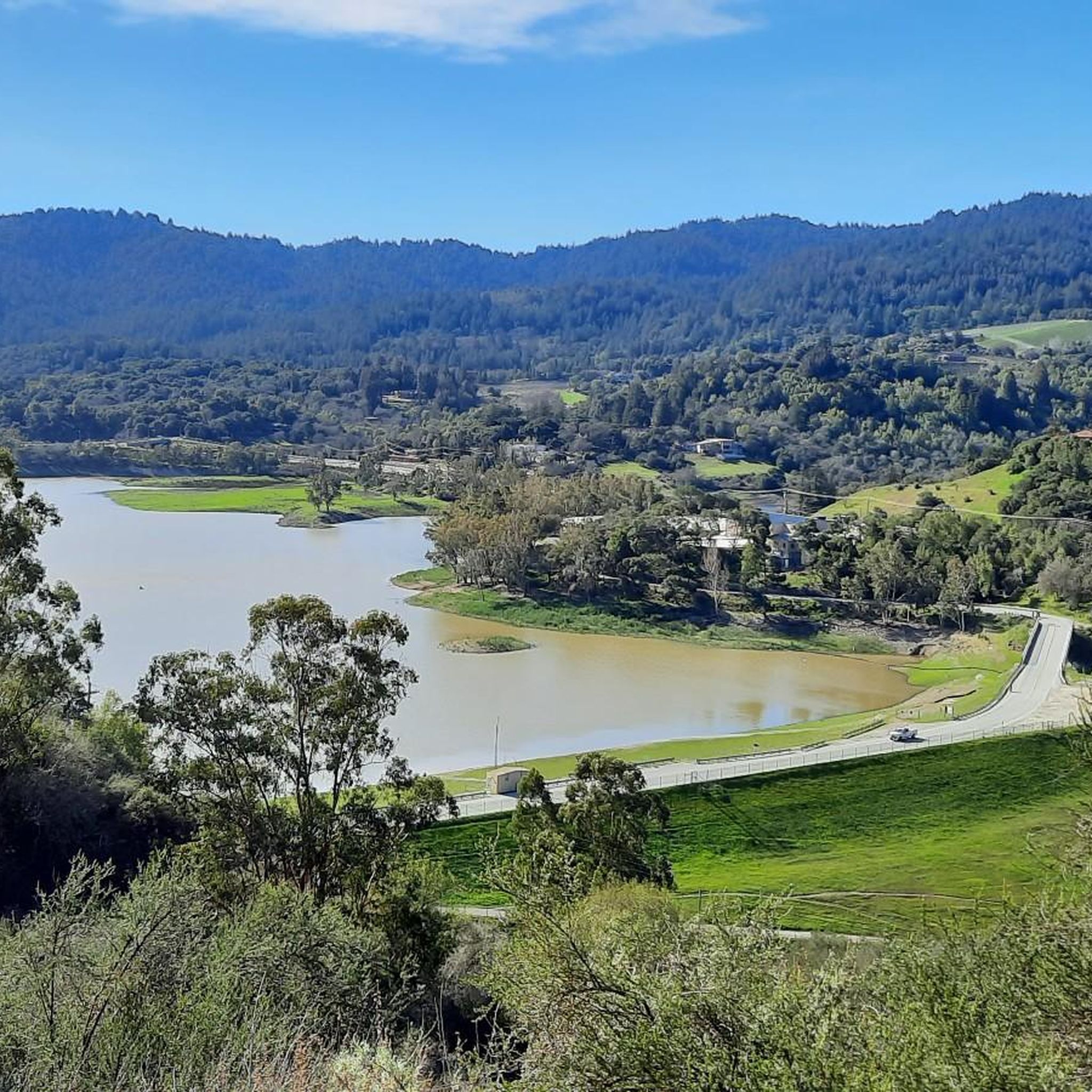
Stevens Creek Reservoir spans 87 acres and is surrounded by a 1,063-acre park. Visitors can enjoy hiking, horseback riding, picnicking, and limited fishing. Seasonal boating for low-power boats is available from mid-April to mid-October. The park is open daily from 8 a.m. to sunset, with vehicle entry fees collected year-round at the Chestnut Parking Lot. Visitors can explore natural beauty and historic remnants like the Villa Maria orchard.
1
0
Los Gatos Coffee Roasting Company has been crafting coffee since 1982, becoming a beloved gathering spot for locals. They offer local wines, craft beers, and live music events on Thursdays, Fridays, and Saturdays from 7–9 PM. Visitors can enjoy espresso, tea, pastries, and fresh coffee beans to take home. Seating is available indoors, outdoors, and in a designated parklet.
1
0

If you're in Santa Cruz, Regale Vineyards is a must-visit. Nestled in the Santa Cruz Mountains, it offers more than just great wine – the views are incredible. Whether you're enjoying a tasting on the patio or strolling through the vineyards, you’ll be surrounded by lush greenery and towering redwoods. It’s a peaceful spot to relax and soak in the beauty of the area. Plus, the wines are fantastic, showcasing the best of the region.
0
0
Frequently Asked Questions
How many road cycling routes are available around Monte Sereno?
There are over 130 road cycling routes around Monte Sereno, offering a wide range of options for different skill levels and preferences. This includes routes that traverse rolling hills, scenic reservoirs, and winding roads with varied elevation changes.
Are there easy or beginner-friendly road cycling routes in Monte Sereno?
Yes, Monte Sereno offers a good selection of routes suitable for beginners. Approximately 45 routes are rated as easy, providing more gentle paths compared to the region's more challenging climbs. These routes often feature less elevation gain and are ideal for those new to road cycling or looking for a relaxed ride.
What are some challenging road cycling routes for experienced riders near Monte Sereno?
For experienced riders seeking a challenge, Monte Sereno offers routes with significant climbs and elevation gain. A notable difficult route is the Vasona Lake – Mount Umunhum loop from Oak Meadow, which covers 32.9 miles (52.9 km) with over 1300 meters of ascent. Another demanding option is the Vasona Lake Dam – Old Santa Cruz Highway loop from Vasona Lake Eucalyptus Grove, featuring over 900 meters of climbing.
Are there long-distance road cycling routes in the Monte Sereno area?
Yes, the Monte Sereno area provides several long-distance road cycling routes. For example, the Old Santa Cruz Highway – Branciforte Drive loop from Oak Meadow is a substantial 55.7 miles (89.6 km) ride, offering a significant endurance challenge with considerable elevation changes.
Can I find loop road cycling routes around Monte Sereno?
Many of the road cycling routes in Monte Sereno are designed as loops, allowing you to start and finish at the same point. Popular loop options include the Lexington Reservoir – Old Santa Cruz Highway loop from Oak Meadow and the Stevens Creek Reservoir – Toll Gate Road loop from Oak Meadow, both offering scenic circular journeys.
What scenic viewpoints or attractions can I see along the road cycling routes?
Road cycling routes around Monte Sereno often feature beautiful natural attractions. You can enjoy views of several reservoirs, such as Stevens Creek Reservoir, Vasona Lake, and Guadalupe Reservoir. The routes also pass through areas like Vasona Lake County Park, offering picturesque stops.
What do other road cyclists enjoy most about road cycling in Monte Sereno?
The road cycling experience in Monte Sereno is highly rated by the komoot community, with an average score of 4.6 stars from over 119 reviews. Cyclists frequently praise the region's diverse terrain, which includes rolling hills, scenic reservoir views, and challenging climbs, providing varied options for all skill levels.
Are there less crowded road bike trails in Monte Sereno?
While some popular routes can see more traffic, the extensive network of over 130 routes means you can often find quieter roads, especially during off-peak hours or by exploring some of the less-traveled paths that wind through the Santa Cruz Mountains foothills. The region's varied terrain allows for exploration beyond the most well-known trails.
What is the best time of year for road biking in Monte Sereno?
The Monte Sereno area generally offers pleasant road cycling conditions for much of the year due to its mild climate. Spring and fall are often ideal, with comfortable temperatures and lush scenery. Summer can be warm, especially in the afternoons, while winter typically brings cooler, wetter weather, though many days remain suitable for riding.
Is parking available for road cycling routes in Monte Sereno?
Parking availability varies by trailhead. Many routes, particularly those starting from popular parks like Oak Meadow Park or Vasona Lake County Park, offer designated parking areas. It's advisable to check specific route details or local park information for the most accurate parking options before your ride.
Are there road cycling routes that pass by coffee shops or places to refuel?
While specific routes are not explicitly tagged with coffee shop stops, many routes in the Monte Sereno area pass through or near towns and communities where you can find cafes and shops to refuel. Planning your route with a map that shows local amenities can help you identify convenient stops along your ride.
Most popular attractions around Monte Sereno

Get inspired with the komoot mobile app


Explore more
Browse the best Road cycling routes in other regions.
