The best road cycling routes around Cupertino
4.6
(462)
12,111
riders
17
rides
Road cycling routes around Cupertino offer diverse terrain, from challenging mountain climbs to scenic reservoir loops and accessible valley paths. The region is characterized by its proximity to the Santa Cruz Mountains foothills, providing significant elevation gains and descents. Natural features include Stevens Creek County Park and Reservoir, Black Mountain, and the San Andreas Rift Zone, which shape the varied cycling landscape. This environment supports a range of road cycling experiences, from moderate loops to difficult, long-distance rides.
Best road cycling routes in Cupertino
- The most popular road cycling route is Stevens Creek country park loop from Bollinger Road & Johnson Avenue, a 21.1 miles (34.0 km) trail that takes 1 hour 31 minutes to complete. This moderate route offers views of Stevens Creek Reservoir and surrounding woodlands.
- Another top favourite among local road cyclists is Cupertino to Lower Crystal Spring Reservoir loop, a moderate 54.2 miles (87.2 km) path. This route provides scenic views of the Crystal Springs Reservoir and the San Andreas Rift Zone.
- Local road cyclists also love the Cupertino to Mt. Hamilton Lick Observatory, a 63.8 miles (102.7 km) trail leading through significant mountain terrain, often completed in about 5 hours 33 minutes.
- Road cycling around Cupertino is defined by the Santa Cruz Mountains foothills, Stevens Creek Reservoir, and Black Mountain. The network offers options for different ability levels, from moderate loops to difficult mountain ascents.
- The routes in Cupertino are highly rated by the komoot community with an average score of 4.2 stars from more than 20 reviews. More than 800 road cyclists have used komoot to explore Cupertino's varied terrain.
Last updated: July 7, 2026
4.0
(5)
110
riders
34.0km
01:31
340m
340m
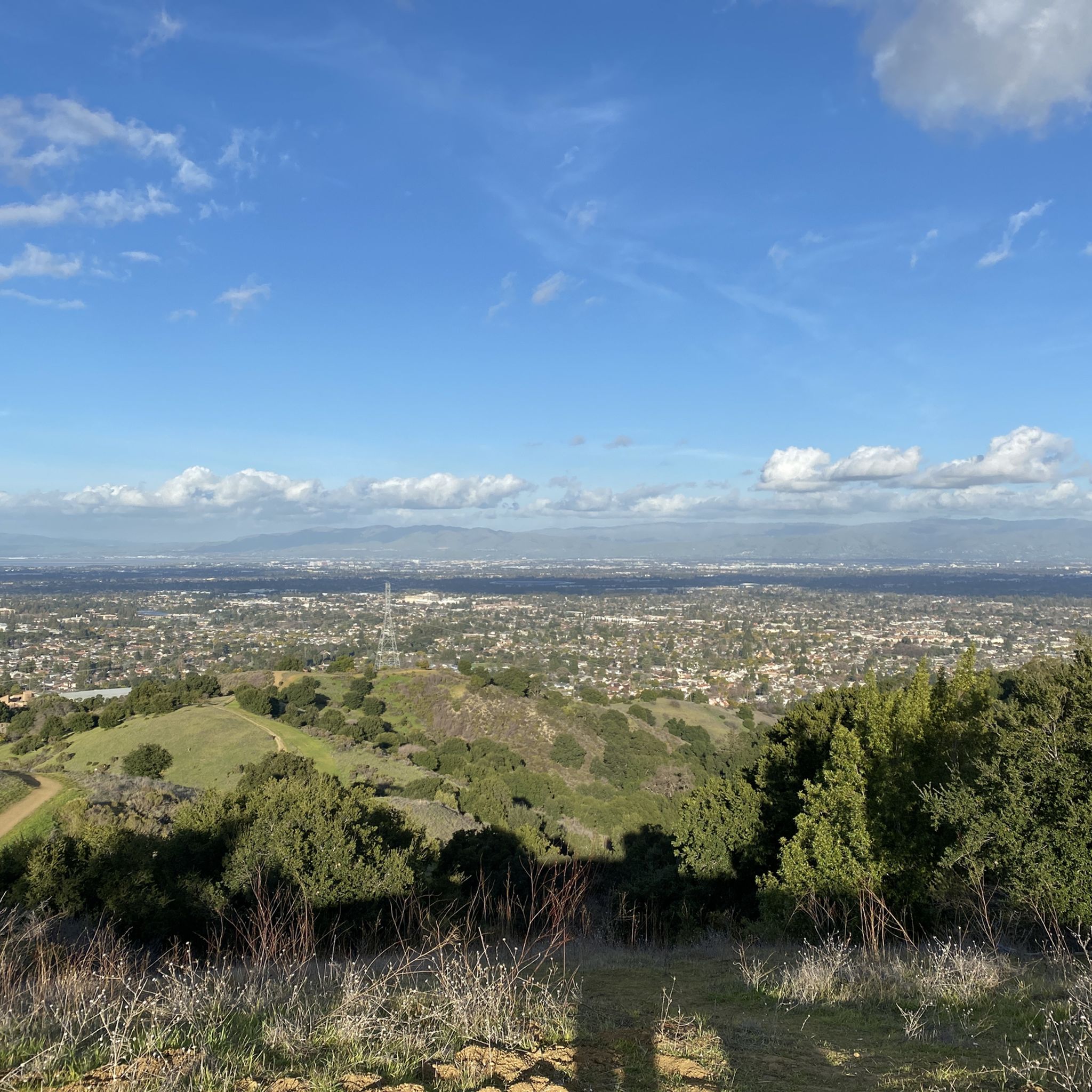
Cycle a moderate 21.1-mile loop through Stevens Creek County Park, featuring the scenic Stevens Creek Reservoir and lush woodlands.
43
riders
87.2km
03:47
750m
750m
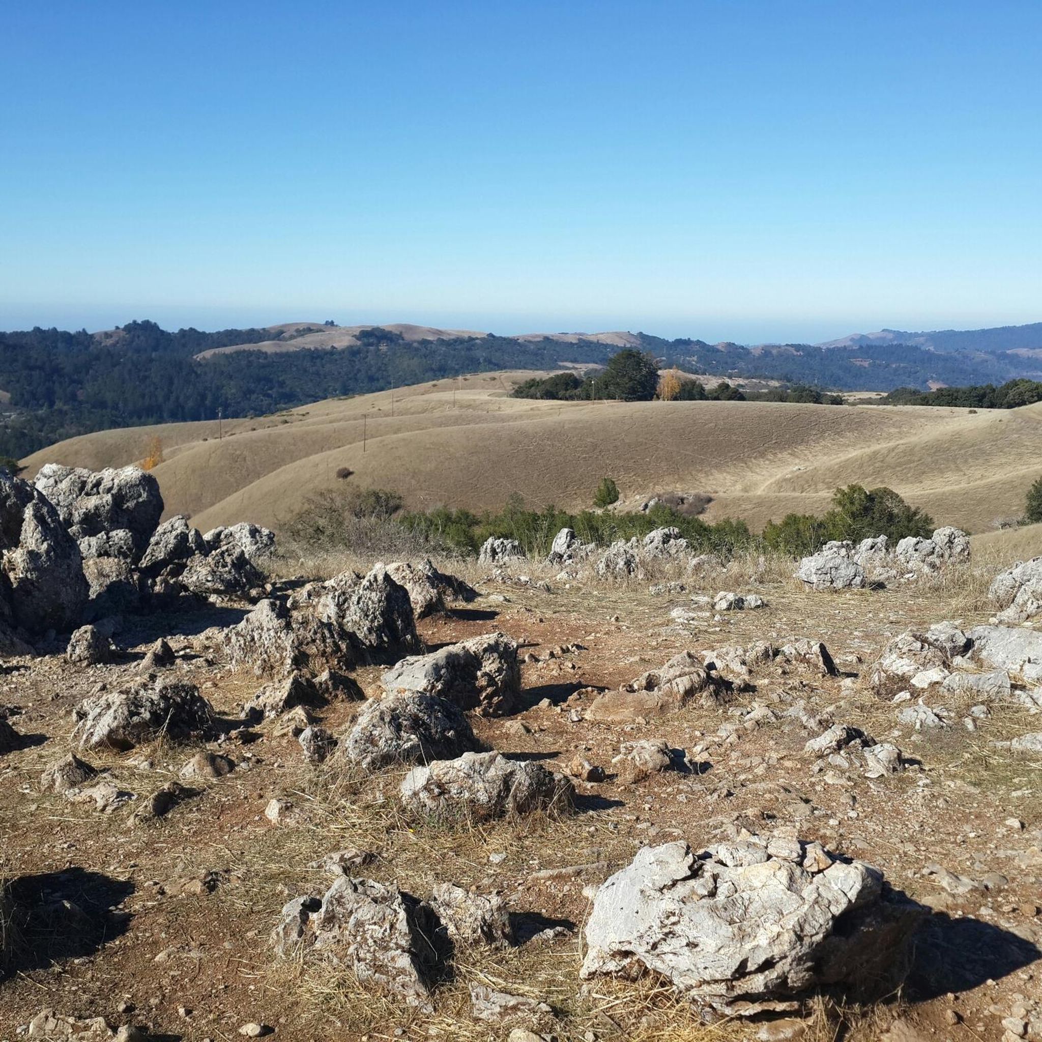
The Cupertino to Lower Crystal Spring Reservoir loop offers a fantastic road cycling experience, winding through picturesque landscapes with diverse scenery. You'll enjoy expansive views of the Lower Crystal Springs Reservoir and the surrounding green, conifer-clad hills, especially along the Crystal Springs Regional Trail. The route also takes you through shaded wooded areas, providing a refreshing change of scenery and opportunities to spot local wildlife like deer.
This moderate 54.2-mile (87.2 km) loop, with its 2459 feet (749 metres) of elevation gain, typically takes around 3 hours and 46 minutes to complete, making it suitable for cyclists with a good fitness level. For a particularly enjoyable ride, aim for a Sunday between 9 AM and 3 PM, when a section of Cañada Road becomes car-free, offering a unique and safer cycling environment. Remember that a 15 mph speed limit is enforced on the popular Crystal Springs Regional Trail segment.
Beyond the natural beauty, the route holds geological significance as it traces the San Andreas Fault line, offering a unique perspective on this famous feature. You'll also encounter historical landmarks such as the ancient Jepson Laurel and the architecturally striking Pulgas Water Temple. This area is a state wildlife refuge, adding to the natural appeal and making it a great choice for those who appreciate both history and nature on their rides.

Sign up for free
15
riders
103km
05:33
1,770m
1,770m
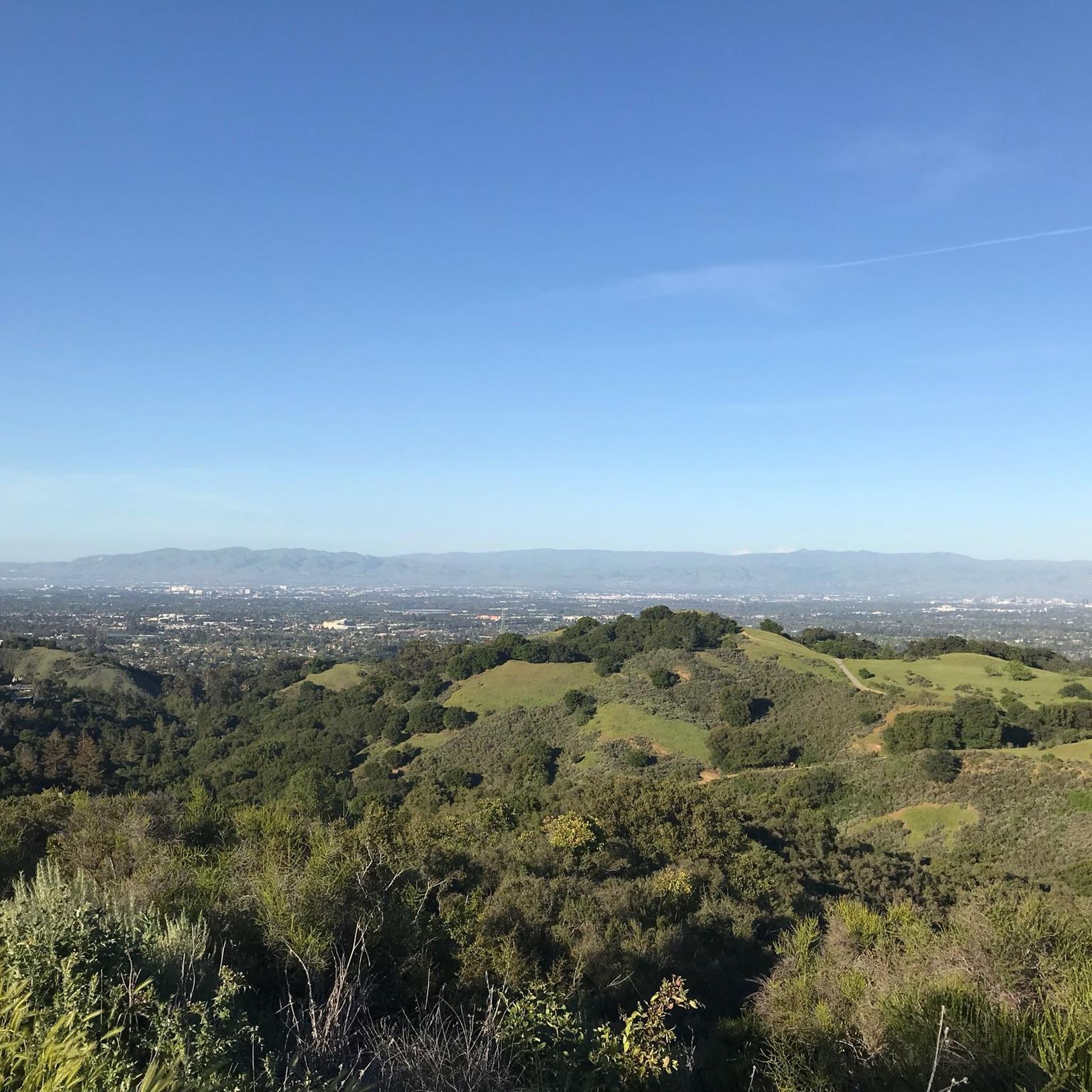
This difficult 63.8-mile road cycling route from Cupertino to Mt. Hamilton Lick Observatory features 5814 feet of elevation gain.
17
riders
95.0km
03:58
610m
610m
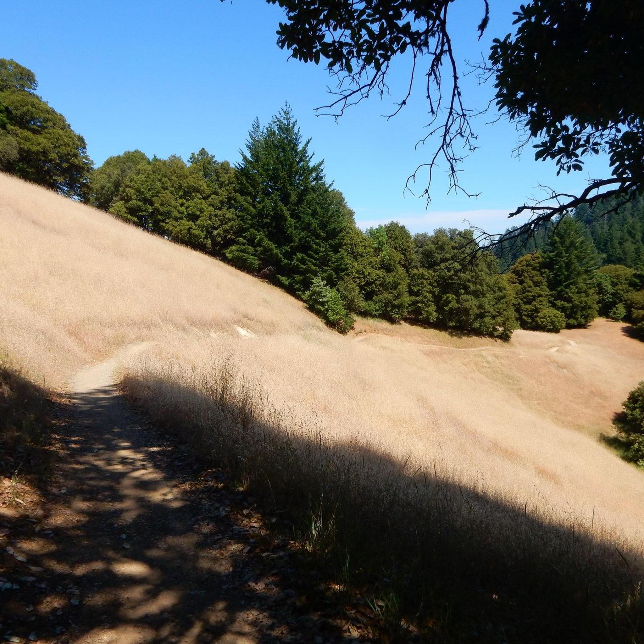
This road cycling loop from Cupertino to Chesbro Reservoir County Park offers a diverse ride through the Santa Cruz Mountains foothills, blending challenging climbs with serene natural beauty. You'll pedal past the expansive Calero Reservoir, then continue into a more rural setting, eventually reaching the peaceful Chesbro Reservoir, known for its tranquil, undeveloped environment. The route features rolling, oak-dotted hills and provides a welcome escape from city life, making it a favorite for those seeking both exercise and natural vistas.
Expect a moderate ride covering 59.0 miles (95.0 km) with a significant 2010 feet (613 metres) of elevation gain, typically taking around 3 hours and 57 minutes to complete. While mostly paved, some segments may be unpaved, requiring a good level of fitness and bike handling. It's a great option for cyclists comfortable with longer rides and varied terrain, but always check conditions if you're on narrow road tires.
The loop stands out for its combination of challenging climbs, like the one on Shannon Road, and rewarding panoramic views of multiple reservoirs. Chesbro Reservoir itself is a highlight, offering a quiet atmosphere as motorized boats are not permitted, enhancing the natural setting. This route provides a unique opportunity to experience the rural charm and natural beauty of the region, moving from more urban starting points to truly peaceful landscapes.
1
riders
104km
04:34
980m
970m
This difficult 64.6-mile road cycling loop from Cupertino to Half Moon Bay offers diverse scenery and challenging climbs.
Get access to more routes and recommendations from other explorers.
Sign up for free
Already have an account?
Our route recommendations are based on thousands of hikes, rides, and runs completed by other people on komoot.
Start today with a free account
Your next adventure awaits.
Login or Signup
Tips from the Community

Biggest peak in the area. If you go when it's open (weekends as of today), you can do the tour of what was once the largest telescope in the world (still one of the biggest refraction telescopes). The observatory is still active
0
0


Stevens Creek Reservoir spans 87 acres and is surrounded by a 1,063-acre park. Visitors can enjoy hiking, horseback riding, picnicking, and limited fishing. Seasonal boating for low-power boats is available from mid-April to mid-October. The park is open daily from 8 a.m. to sunset, with vehicle entry fees collected year-round at the Chestnut Parking Lot. Visitors can explore natural beauty and historic remnants like the Villa Maria orchard.
1
0

The Crystal Springs Regional Trail is a top spot for cyclists, featuring mostly paved paths with minimal car traffic. The trail runs through scenic areas like Lower Crystal Springs Reservoir, offering beautiful lake views. On Sundays, you can ride the car-free Cañada Road segment for a more relaxed experience. Be mindful of the 15 mph speed limit, especially around hikers. The Sawyer Camp segment provides a gentle descent and stunning views, perfect for an easy ride through woodlands and along the reservoir.
0
1
Alameda de las Pulgas Road has consistent traffic but features a good bike lane for safe cycling. The route is straightforward and flat, it works for a smooth ride through the area.
0
0
Lick Observatory is a must-visit destination for cyclists, featuring historic and modern telescopes, including the world’s largest glass lens observatory. Free tours provide fascinating insights into astronomy and the observatory’s history. At 4,209 feet, temperatures can drop significantly compared to Silicon Valley, especially in winter—bring warm layers.
0
0
Shannon Road starts with a gentle climb from Los Gatos Creek to Blossom Hill Park, then transitions into a steeper ascent as it leads into a rural area. The summit below Blossom Hill offers a rewarding challenge and connects to other routes in the area.
1
0
Charming bridge crossing Seven's Creek Boulevard at the north end of Creekside Park. Nearby, you’ll find the historic Stocklmeir Farmhouse in Blackberry Farm Park.
0
0
Frequently Asked Questions
What kind of road cycling terrain can I expect around Cupertino?
Cupertino offers a diverse range of road cycling terrain. You'll find challenging climbs and descents in the Santa Cruz Mountains foothills, such as those leading to Black Mountain or along Montebello Road. There are also scenic reservoir loops, like the Stevens Creek country park loop, and more accessible valley paths. The area is characterized by significant elevation gains in some parts, while others offer flatter, paved surfaces through wetlands.
Are there challenging road cycling routes for experienced riders?
Yes, Cupertino is an excellent destination for experienced cyclists seeking a challenge. Routes like Cupertino to Mt. Hamilton Lick Observatory involve significant mountain terrain and substantial elevation gain. Montebello Road is also known for its challenging climb, rising approximately 2,000 feet in just over five miles with steep grades.
What are some scenic viewpoints or landmarks I can see while cycling?
Many routes offer breathtaking views. The summit of Black Mountain provides expansive vistas of the Santa Cruz Mountains and Silicon Valley. The Cupertino to Lower Crystal Spring Reservoir loop offers scenic views of the Crystal Springs Reservoir and the San Andreas Rift Zone. You can also enjoy views of Stevens Creek Reservoir and surrounding woodlands on the Stevens Creek country park loop.
Are there any family-friendly road cycling options in Cupertino?
While many routes involve significant elevation, some areas offer more accessible paths. The Stevens Creek Trail, for instance, provides a lengthy ride through diverse scenery, and parts of it are suitable for a more relaxed pace. Additionally, multi-use paths like the Borregas Avenue Bike Bridge offer safer alternatives to busy roads, which can be good for families.
Where can I park my car when starting a road cycling route?
For routes around Stevens Creek County Park, parking is available within the park itself. For routes like the Alviso Marina County Park loop, parking facilities are typically available at the park entrance. Specific parking information for other trailheads can often be found on local park websites or detailed route descriptions.
When is the best time of year for road cycling in Cupertino?
Cupertino offers good cycling conditions for much of the year due to its mild climate. Spring and fall generally provide the most pleasant temperatures for longer rides and climbs. Summer can be warm, especially in exposed areas, while winter typically brings cooler temperatures and occasional rain, but many days remain suitable for cycling.
What do other road cyclists enjoy most about cycling in Cupertino?
The road cycling routes around Cupertino are highly rated by the komoot community, with an average score of 4.2 stars from over 20 reviews. Cyclists often praise the diverse terrain, from challenging mountain ascents to scenic reservoir loops, and the rewarding views of the Santa Cruz Mountains and Silicon Valley.
Are there long-distance road cycling routes available from Cupertino?
Yes, Cupertino serves as a starting point for several long-distance road cycling adventures. For example, the Cupertino to Lower Crystal Spring Reservoir loop is a moderate 54.2-mile path, and the Cupertino to Half Moon Bay loop extends over 60 miles, offering a significant ride to the coast.
Can I find cafes or places to stop for refreshments along the routes?
While many routes venture into natural areas, some pass through or near towns and communities where you can find cafes and other amenities. For routes closer to urban centers or popular parks like Stevens Creek County Park, there are often options for refreshments. Planning your route in advance can help identify suitable stops.
How many road cycling routes are there in Cupertino?
There are over 15 road cycling routes available around Cupertino, catering to various skill levels. These include a mix of easy, moderate, and difficult options, ensuring there's something for every road cyclist.
What is the difficulty level of the Stevens Creek country park loop?
The Stevens Creek country park loop from Bollinger Road & Johnson Avenue is rated as moderate. It covers about 21 miles with an elevation gain of approximately 1,130 feet, offering a good workout with scenic views of the reservoir and woodlands.
Are there any routes that connect Cupertino to other major areas?
Yes, Cupertino's cycling network connects to broader areas. For instance, routes can take you towards the San Francisco Bay Trail, allowing for extended rides. The Cupertino to Half Moon Bay loop is a prime example of a route connecting to coastal areas.
Most popular routes around Cupertino
Most popular attractions around Cupertino

Get inspired with the komoot mobile app


Explore more
Browse the best Road cycling routes in other regions.
