The best MTB trails around Temple City
4.0
(1)
50
riders
8
rides
Mountain biking around Temple City, California, offers access to diverse terrain, primarily due to its location at the base of the San Gabriel Mountains. This region features varied elevations, from challenging mountain ascents to gentler river paths. The landscape is characterized by the dramatic backdrop of the San Gabriel Mountains and extensive river systems like the San Gabriel River and Rio Hondo River, which provide multi-use paths.
Best mountain bike trails around Temple City
- The most popular mountain bike trail…
Last updated: August 6, 2026
56.2km
07:11
2,170m
2,170m
The Mt. Wilson Enduro Loop is a demanding mountain biking route near Los Angeles, famous for its extensive downhill sections and technical challenges. You'll encounter a mix of flowy singletrack…
1
riders
10.2km
01:11
340m
340m
The Lower Clamshell Truck Trail offers a diverse mountain biking adventure through the Monrovia Hillside Wilderness Preserve, blending wide fire roads with engaging singletrack. You'll navigate through canyons and encounter…

Sign up for free
6
riders
12.3km
01:13
370m
370m
Moderate mountain bike ride. Good fitness required. Suitable for all skill levels.
4.0
(1)
2
riders
37.5km
02:38
530m
530m
Moderate mountain bike ride. Good fitness required. Suitable for all skill levels.
8
riders
36.4km
02:41
580m
580m
Hard mountain bike ride. Good fitness required. Advanced riding skills necessary. Some portions of the route may require you to push your bike.
Get access to more routes and recommendations from other explorers.
Sign up for free
Already have an account?
Our route recommendations are based on thousands of hikes, rides, and runs completed by other people on komoot.
Start today with a free account
Your next adventure awaits.
Login or Signup


Tips from the Community

Mostly smooth fire road through Monrovia Hillside Wilderness, but with some steep and technical sections that might challenge beginners. Ride counterclockwise from Canyon Park and follow the signs—many side trails cross private land. The descent includes tight switchbacks and a short singletrack section. You can stick to the main road or take the “advanced” trail, Cactus Road, for more climbs, exposure, and a fun technical finish.
0
0

Defenders Park is a small neighborhood park in the southwest corner of Orange Grove and Colorado Boulevard, along the California Mission Trail. There is plenty of open space surrounded by trees for shade, along with drinking fountains, perfect for a quick break during a run.
0
0

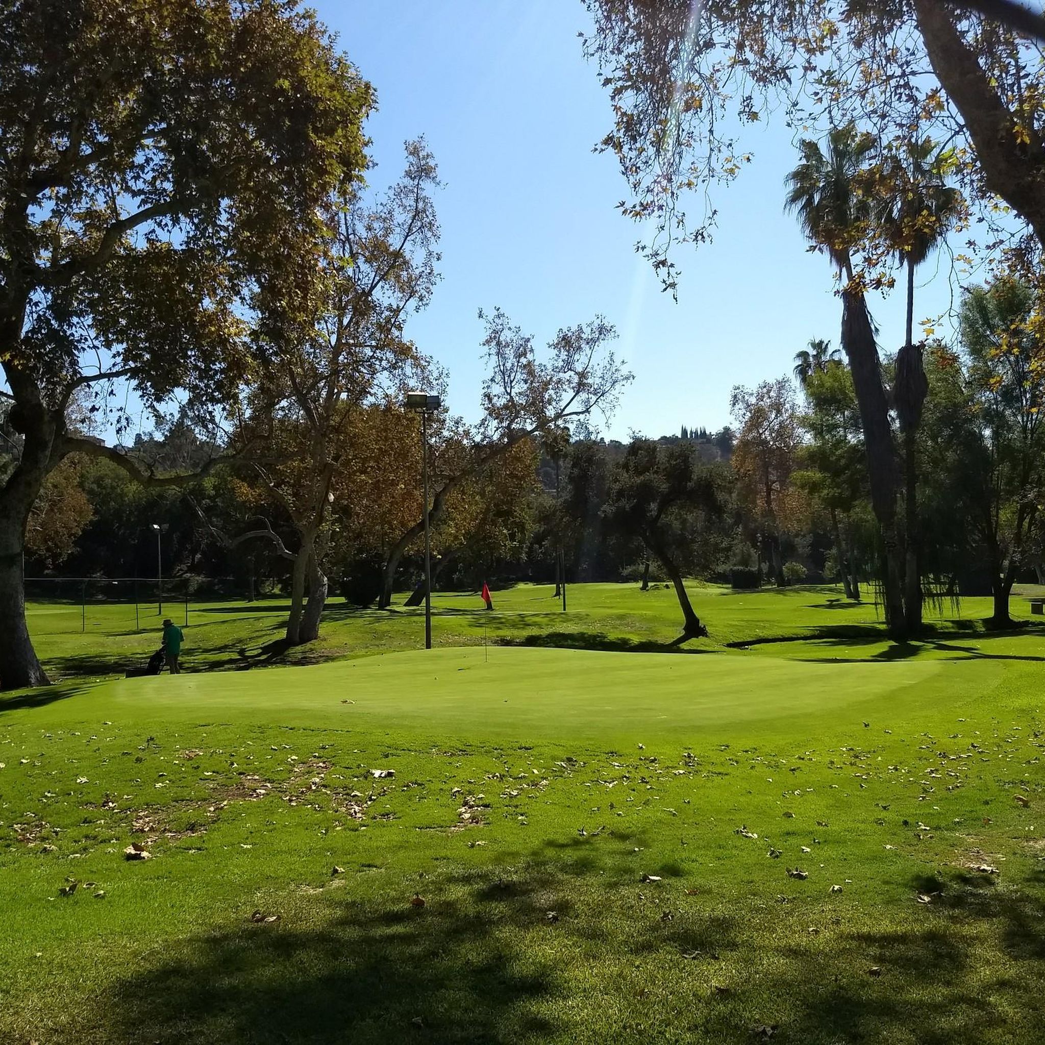
Brookside Park has several miles of bike trails that cut through the wood land. There are also benches and a playground.
1
0

Brookside Park is Pasadena's largest fully maintained park at 61.1 acres. It sits south of Rose Bowl Stadium with tons of parking off Arroyo Boulevard. The park features a lighted baseball diamond, two softball diamonds, and a large, lighted, multi-purpose field for soccer and flag football. There is also a speaker's platform with permanent seating, numerous picnic tables, barbecue pits, a play area, restrooms, and drinking fountains.
0
0
Built in 1920, Devil's Gate Dam is the oldest dam constructed by the Los Angeles County Flood Control District, designed to protect Pasadena, South Pasadena, and Los Angeles from floods. The dam was named after a rock formation resembling a devil’s face and gained popularity in the 1940s when occultists performed rituals there. Today, Devil's Gate Dam attracts hikers, paranormal investigators, and TV crews checking out its haunted reputation.
0
0

Be careful in the evening hours-local wildlife roaming their home turf.
0
0

Ridge Motorway is a popular dirt road for biking and running. The path connects to a few other trails on its way to the top of Cerro Negro. It also offers some pretty great views of Glendale in the distance.
0
0

Devil's Gate Dam is an abandoned dam, close to Hahamongna Watershed Park. From the bridge you get an amazing view of the valley and the surrounding area. Below the bridge there are a couple of tunnels that might be the reason why this place is considered a portal to hell, giving the dam its name.
0
0
Frequently Asked Questions
What kind of mountain biking terrain can I expect around Temple City?
The area around Temple City, California, offers a diverse range of mountain biking terrain. You'll find challenging ascents and descents within the majestic San Gabriel Mountains, as well as gentler, multi-use paths along river systems like the San Gabriel River and Rio Hondo River. This variety caters to different skill levels and preferences, from rugged mountain trails to more relaxed scenic rides.
Are there mountain bike trails suitable for beginners or families in Temple City?
Yes, while many trails in the San Gabriel Mountains offer challenging terrain, there are also options suitable for beginners and families. The multi-use paths along the San Gabriel River and Rio Hondo River, such as the Duarte Bike Trail, generally have minimal elevation gain and provide a less strenuous cycling experience. These paths are great for a relaxed ride with scenic views.
What are some challenging mountain bike trails near Temple City?
For experienced riders seeking a challenge, the San Gabriel Mountains offer several demanding routes. The Mt. Wilson Enduro Loop is a difficult 34.9-mile trail with significant elevation gain, taking over 7 hours to complete. Another challenging option is the Wella's Peak – Pasadena Historic City Hall loop from Memorial Park, which covers 22.3 miles through varied landscapes.
Are there any mountain bike trails that offer scenic views or natural features?
Absolutely! Many trails in the region boast stunning views of the San Gabriel Mountains. For a unique natural feature, consider exploring the area around Eaton Canyon Waterfall, which offers a moderate hike with stream crossings to a 40-foot waterfall. While not a direct mountain bike trail, it's a popular scenic spot in the mountains that can be combined with a ride.
What is the best time of year to go mountain biking around Temple City?
The weather in the San Gabriel Mountains is generally consistent year-round, with typical Southern California sunny skies, making it an accessible cycling destination throughout most of the year. However, spring and fall often offer the most comfortable temperatures for longer rides, avoiding the peak heat of summer and potential winter rain.
Are there any circular mountain bike routes available?
Yes, there are several loop trails for mountain bikers. The Wella's Peak – Pasadena Historic City Hall loop from Memorial Park is a notable difficult option. For a moderate ride, the Mountainbike loop from Monrovia provides a good circular route.
What do other mountain bikers say about the trails in Temple City?
The mountain biking routes around Temple City are highly rated by the komoot community, with an average score of 4.5 stars from 2 reviews. More than 100 mountain bikers have used komoot to explore the varied terrain, often praising the diverse options from challenging mountain ascents to more relaxed river path cycling.
Are there any moderate mountain bike trails in the area?
Yes, for those looking for a balance between challenge and accessibility, there are several moderate trails. The Lower Clamshell Truck Trail is a popular moderate 6.4-mile path offering views of the surrounding foothills. Another moderate option is the Henninger Flats loop from Pasadena Jewish Temple and Center, which is about 9.3 miles long.
What are some nearby attractions or points of interest I can explore after a ride?
Beyond the trails, you can explore several points of interest. The Historic Colorado Street Bridge is a notable landmark. For a natural setting, Bosque del Rio Hondo provides access to the Rio Hondo and San Gabriel River bicycle paths. If you're looking for a place to refuel, The Cub House is a popular facility for cyclists.
Are there any local parks in Temple City that are good for general recreation?
While the serious mountain biking opportunities are found in the surrounding natural areas, Temple City itself features local parks like Live Oak Park, Temple City Park, and Primrose Park. These are ideal for general recreation, picnics, and walking. You can find more information about these parks on the official Temple City website.
How many mountain bike trails are available around Temple City?
There are a total of 9 mountain bike trails documented around Temple City, offering a range of difficulties. This includes 1 easy, 5 moderate, and 3 difficult routes, ensuring options for various skill levels.
Most popular attractions around Temple City

Get inspired with the komoot mobile app


Explore more
Browse the best MTB trails in other regions.
