The best road cycling routes around La Puente
4.3
(25)
1,947
riders
47
rides
Road cycling around La Puente offers access to varied terrain, from extensive paved river trails to challenging hill climbs. The region is characterized by the backdrop of the San Gabriel Mountains to the north and the rolling Puente Hills. Paved pathways like the San Gabriel River Trail and Rio Hondo Greenway provide accessible routes, while areas such as Turnbull Canyon present significant elevation gains.
Best road cycling routes around La Puente
- The most popular road cycling route is Carbon Canyon…
Last updated: September 30, 2026
92
riders
70.3km
03:31
140m
140m
Moderate road ride. Good fitness required. Some segments of this route may be unpaved and difficult to ride.
5.0
(3)
63
riders
Easy road ride. Great for any fitness level. Mostly well-paved surfaces and easy to ride.

26
riders
43.8km
02:27
830m
830m
Moderate road ride. Good fitness required. Mostly well-paved surfaces and easy to ride.
9
riders
Moderate road ride. Good fitness required. Mostly well-paved surfaces and easy to ride.
19
riders
21.1km
01:14
500m
500m
Moderate road ride. Good fitness required. Mostly well-paved surfaces and easy to ride.
Get access to more routes and recommendations from other explorers.
Already have an account?
Our route recommendations are based on thousands of hikes, rides, and runs completed by other people on komoot.
Start today with a free account
Your next adventure awaits.


Tips from the Community

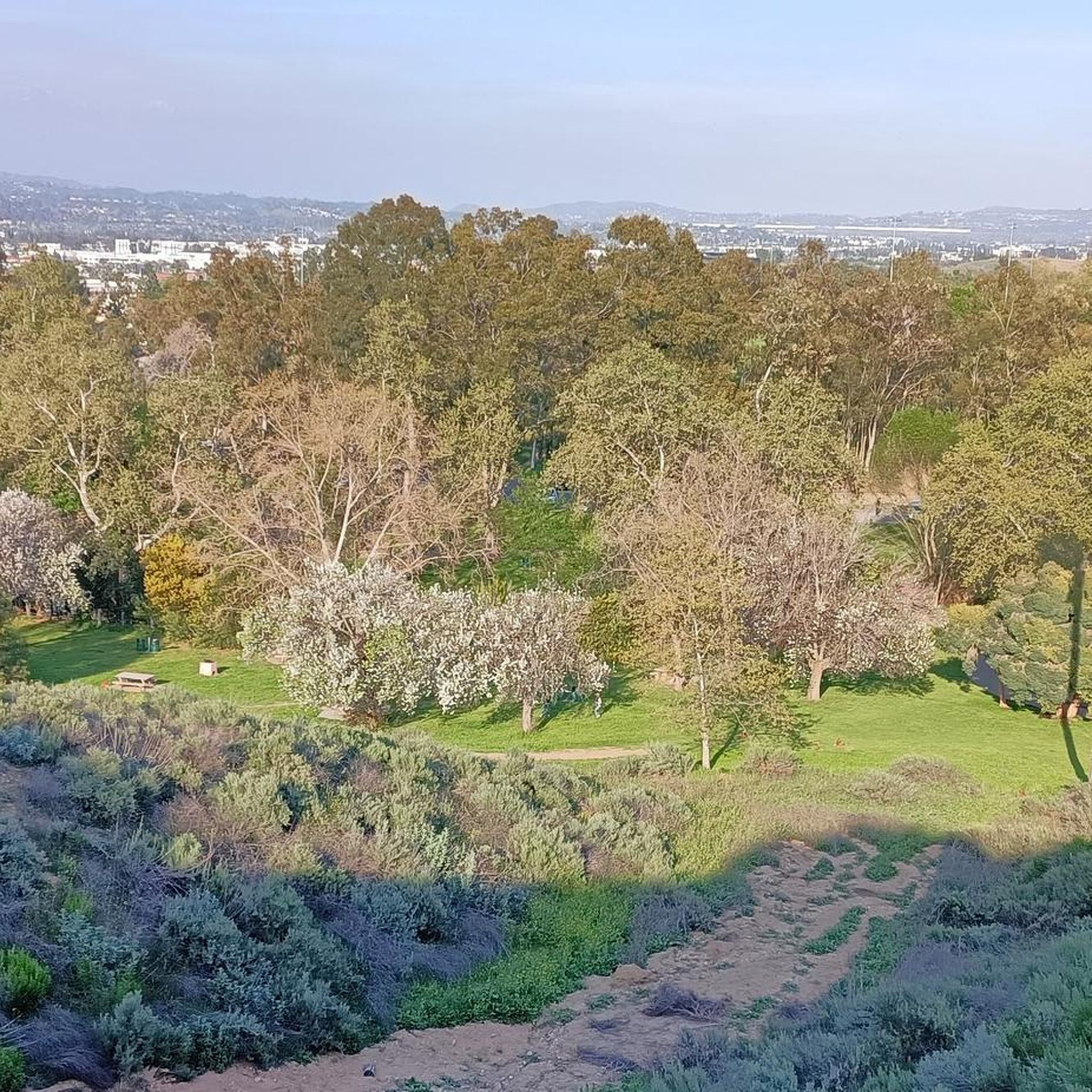
The Rio Hondo Greenway is a beautiful bike lane that follows the river that gives the trail its name. It is fully paved and flat, so it is not a challenging trail.
0
0
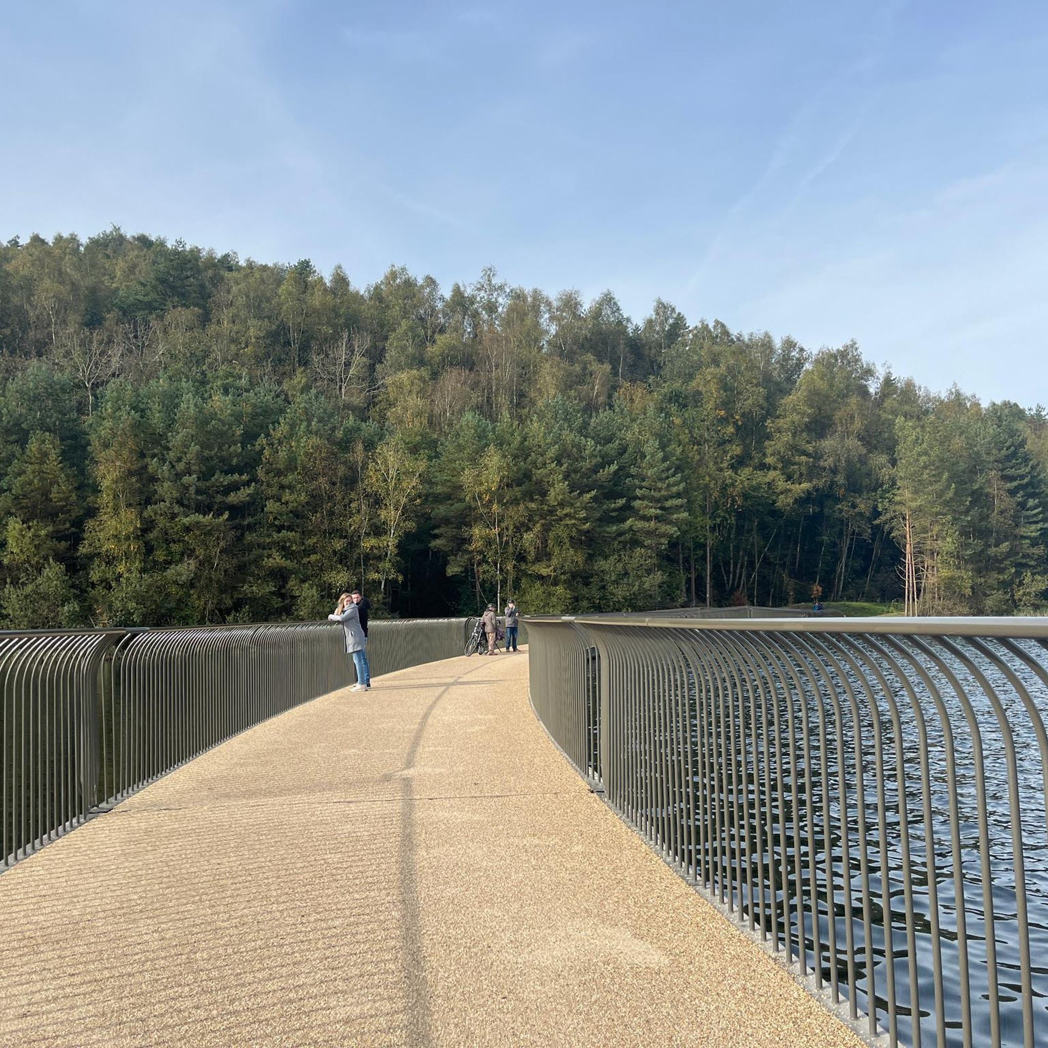
The San Gabriel Dam is a rock‑fill structure completed in 1939 on the San Gabriel River and is used for flood control.
0
0

Ride through Turnbull Canyon and be rewarded with stunning views of Los Angeles County and surround yourself with a mix of natural beauty and historical intrigue. The road climbs with an average gradient of 5.2%, gaining 775 feet in elevation and peaking at 1,161 feet. Be cautious of fast-driving vehicles on the winding roads.
1
0
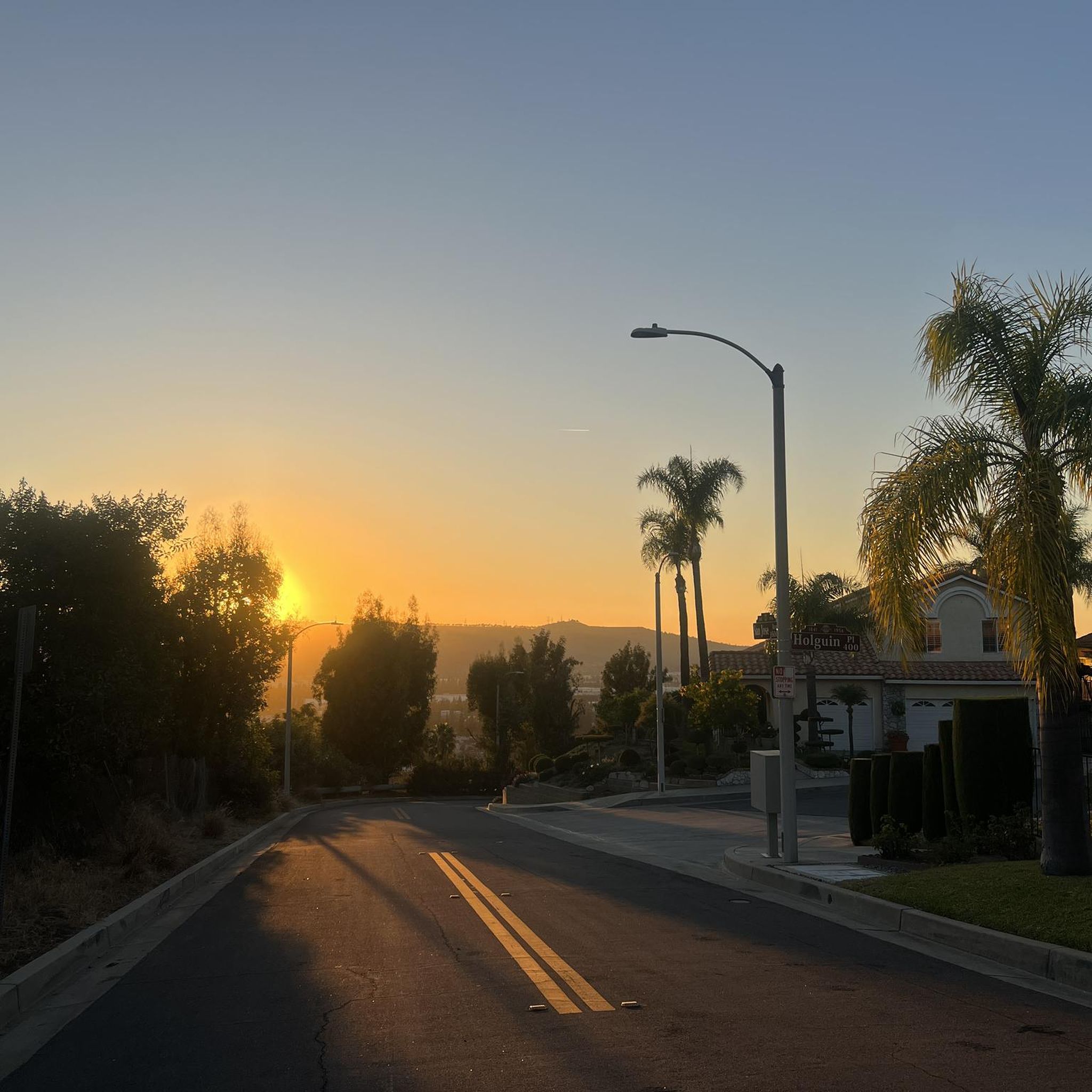
Climb up into the picturesque and rural community of La Habra Heights, known for large properties, many of which allow for agricultural activities such as horse keeping and avocado farming. The area has fantastic views that reach as far as the ocean, and on a clear day, Catalina Island is visible.
1
0

There is a parking lot and restroom here at the trailhead, which provides access to a large network of paved and packed dirt trails along the beautiful Rio Hondo. The trailhead closes at sunset.
0
0

be cautious, lots of young fast and furious wannabe racers out on the canyon at all hours of the day. listen to your surroundings. be safe
0
0

As you bike near Turnbull Debris Basin, observe its crucial function in storing runoff and sediment, acting as a safeguard against downstream flooding and sedimentation, and protecting human life and property. Positioned along the canyon road en route to the Turnbull Canyon Trailhead, it plays a vital role in mitigating flood risks downstream, ensuring community safety.
0
0
As you hike near Turnbull Debris Basin, observe its crucial function in storing runoff and sediment, acting as a safeguard against downstream flooding and sedimentation, and protecting human life and property. Positioned along the canyon road en route to the Turnbull Canyon Trailhead, it plays a vital role in mitigating flood risks downstream, ensuring community safety.
0
0
Frequently Asked Questions
How many road cycling routes are available around La Puente?
There are over 40 road cycling routes around La Puente, offering a diverse range of experiences. These include 7 easy routes, 32 moderate routes, and 6 challenging routes, catering to various skill levels and preferences.
Are there any easy, flat road cycling routes suitable for beginners or families?
Yes, La Puente offers several easy, relatively flat routes ideal for beginners or family outings. The Bosque del Rio Hondo – Rio Hondo Greenway loop from Ferris Road & Durfee Avenue is a great option, following the paved Rio Hondo Greenway with minimal elevation changes. The Rio Hondo Greenway is known for its pleasant ride and abundance of wildlife.
Where can I find challenging road cycling routes with significant climbs?
For those seeking a challenge, Turnbull Canyon is a prominent feature in the region, offering routes with significant elevation gains. Consider the Turnbull Canyon – Turnbull Debris Basin loop from Hacienda Heights, which includes a substantial climb. Turnbull Canyon itself offers an average gradient of 5.2% and an elevation gain of 775 feet, rewarding cyclists with stunning views of Los Angeles County.
What are some scenic viewpoints or natural attractions along the cycling routes?
Many routes offer scenic views, particularly those traversing the Puente Hills or near Turnbull Canyon. From Turnbull Canyon, you can enjoy panoramic views of Los Angeles County. The Turnbull Canyon area is known for its natural beauty. Additionally, the San Gabriel River Trail provides varied landscapes, from mountain views to urban areas and coastal scenery.
Are there any loop routes for road cycling in La Puente?
Yes, many of the road cycling routes in La Puente are loops, providing a convenient way to start and end your ride at the same point. Examples include the Carbon Canyon Regional Park loop from Puente Hills Preserve and the Puente Hills Preserve loop from Hacienda Heights.
What is the best time of year to go road cycling in La Puente?
La Puente generally offers good cycling conditions year-round due to its mild Southern California climate. However, spring and fall often provide the most comfortable temperatures for longer rides. Summers can be hot, especially in the middle of the day, so early morning or late afternoon rides are recommended during those months.
Are there any specific parking recommendations for popular cycling routes?
For routes accessing the Rio Hondo Greenway, you can often find parking near access points along the trail, such as near Ferris Road & Durfee Avenue. For Turnbull Canyon, parking is typically available in residential areas near trailheads, but always check local regulations. For routes like the Carbon Canyon Regional Park loop, parking is available at Carbon Canyon Regional Park.
What kind of terrain can I expect on road cycling routes around La Puente?
Road cycling around La Puente features a diverse range of terrain. You'll find extensive paved river trails like the San Gabriel River Trail and Rio Hondo Greenway, which are relatively flat. In contrast, areas like Turnbull Canyon and the broader Puente Hills offer rolling hills and significant climbs, providing a mix of challenging ascents and descents.
What do other road cyclists enjoy most about cycling in La Puente?
The komoot community highly rates the road cycling experience in La Puente, with an average score of 4.5 stars from over 40 reviews. Cyclists often praise the region's varied terrain, which caters to different skill levels, from the accessible paved river trails to the challenging hill climbs with rewarding views.
Are there any parks or green spaces accessible by bike in La Puente?
Yes, La Puente's cycling routes often connect to or pass by various parks and green spaces. The Rio Hondo Greenway, for example, follows the Rio Hondo River, offering a pleasant ride through natural surroundings. Local parks like La Puente Park and Allen J. Martin Park (more info) also provide recreational opportunities, though specific cycling access may vary.
Are there any routes that offer views of the San Gabriel Mountains?
Yes, the San Gabriel Mountains form a picturesque backdrop to the north of La Puente, and many routes in the area offer views of this range. The San Gabriel River Trail, which stretches from the base of the San Gabriel Mountains, provides excellent opportunities to enjoy these scenic mountain vistas while cycling.
Can I find routes with low elevation gain for a more relaxed ride?
Absolutely. If you prefer a relaxed ride with minimal climbing, focus on routes along the river greenways. The Bosque del Rio Hondo – Rio Hondo Greenway loop is an excellent choice, offering a mostly flat, paved path along the Rio Hondo River with very low elevation gain.
Most popular attractions around La Puente

Get inspired with the komoot mobile app


Explore more
Browse the best Road cycling routes in other regions.
