The best road cycling routes around Wiehltalsperre
4.5
(417)
3,447
riders
195
rides
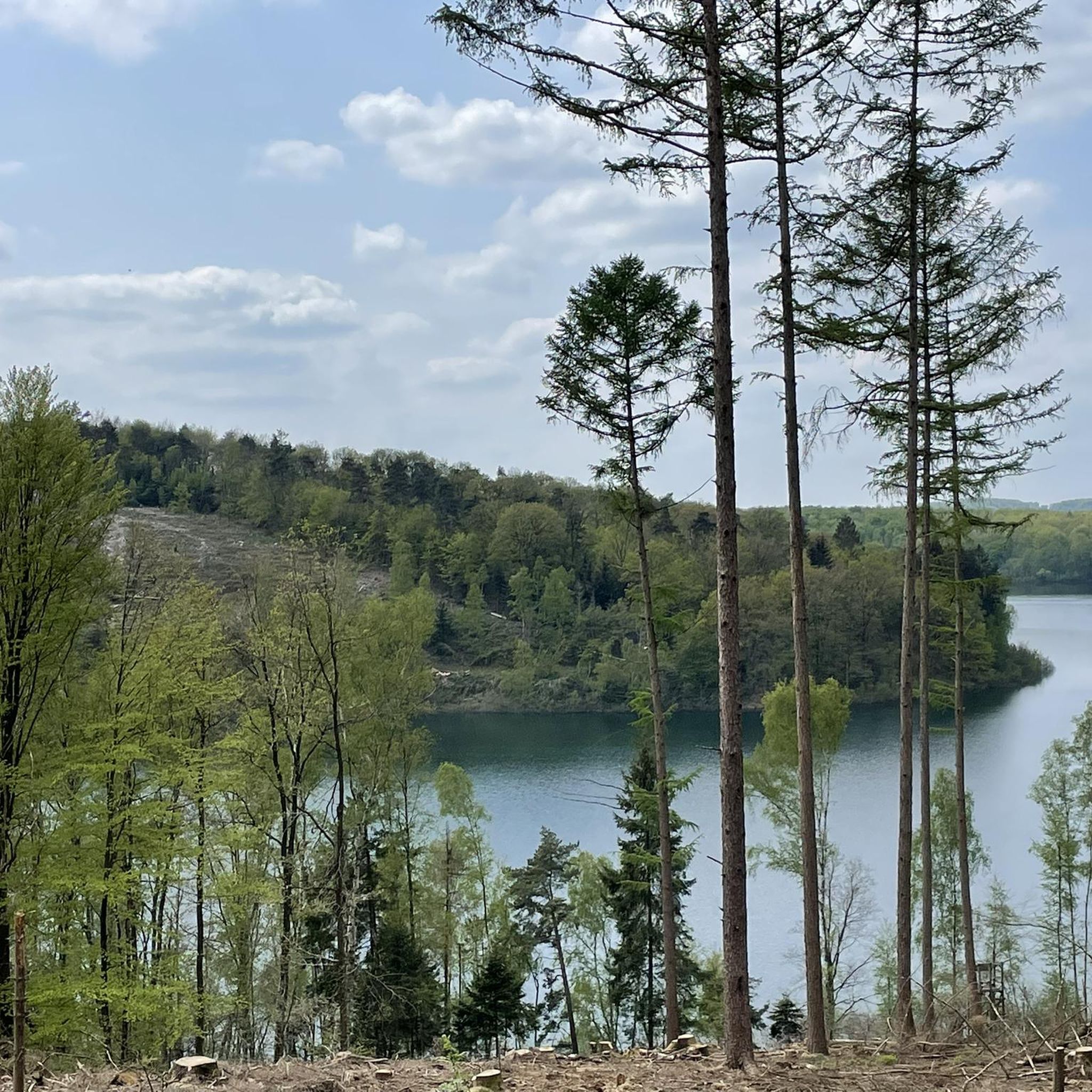
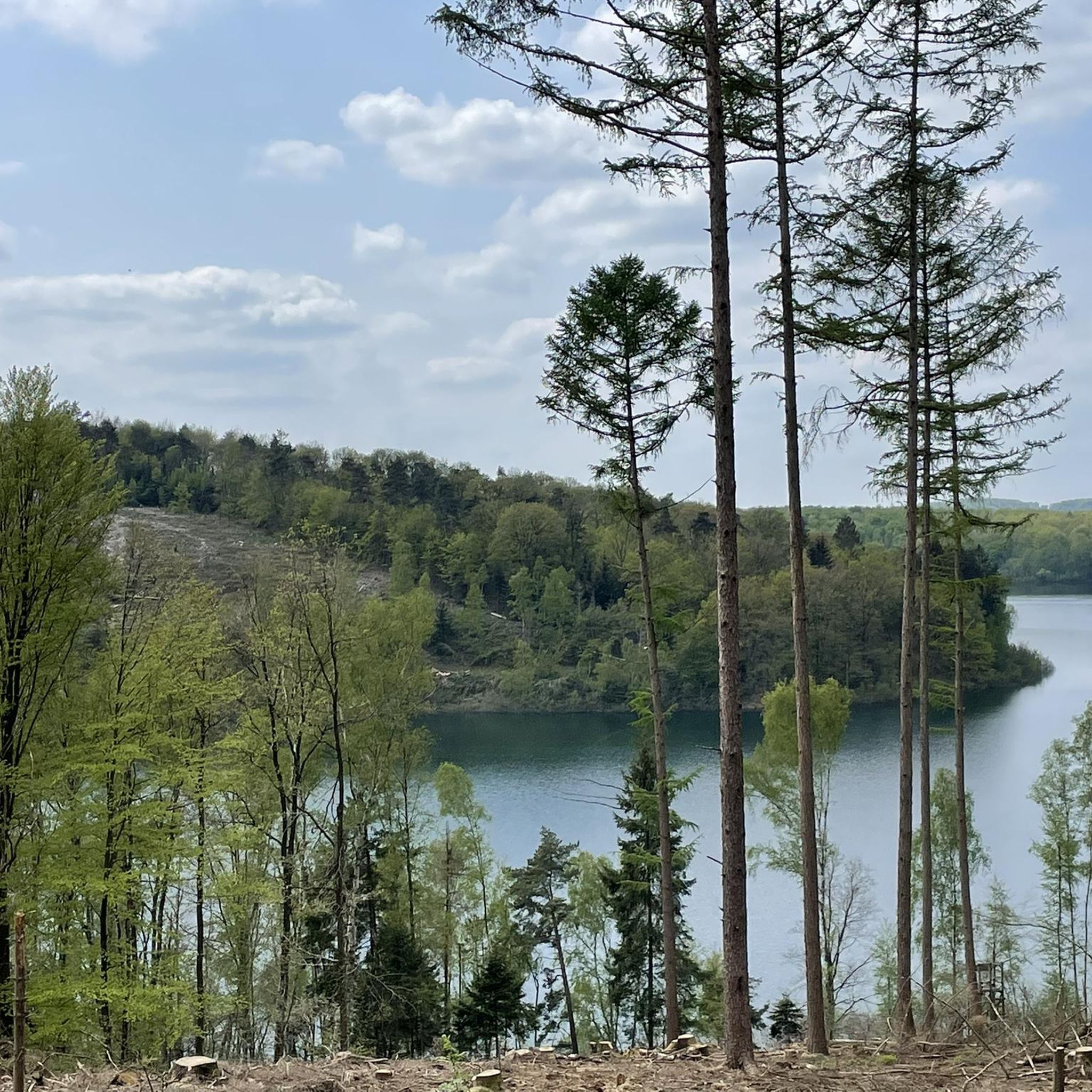
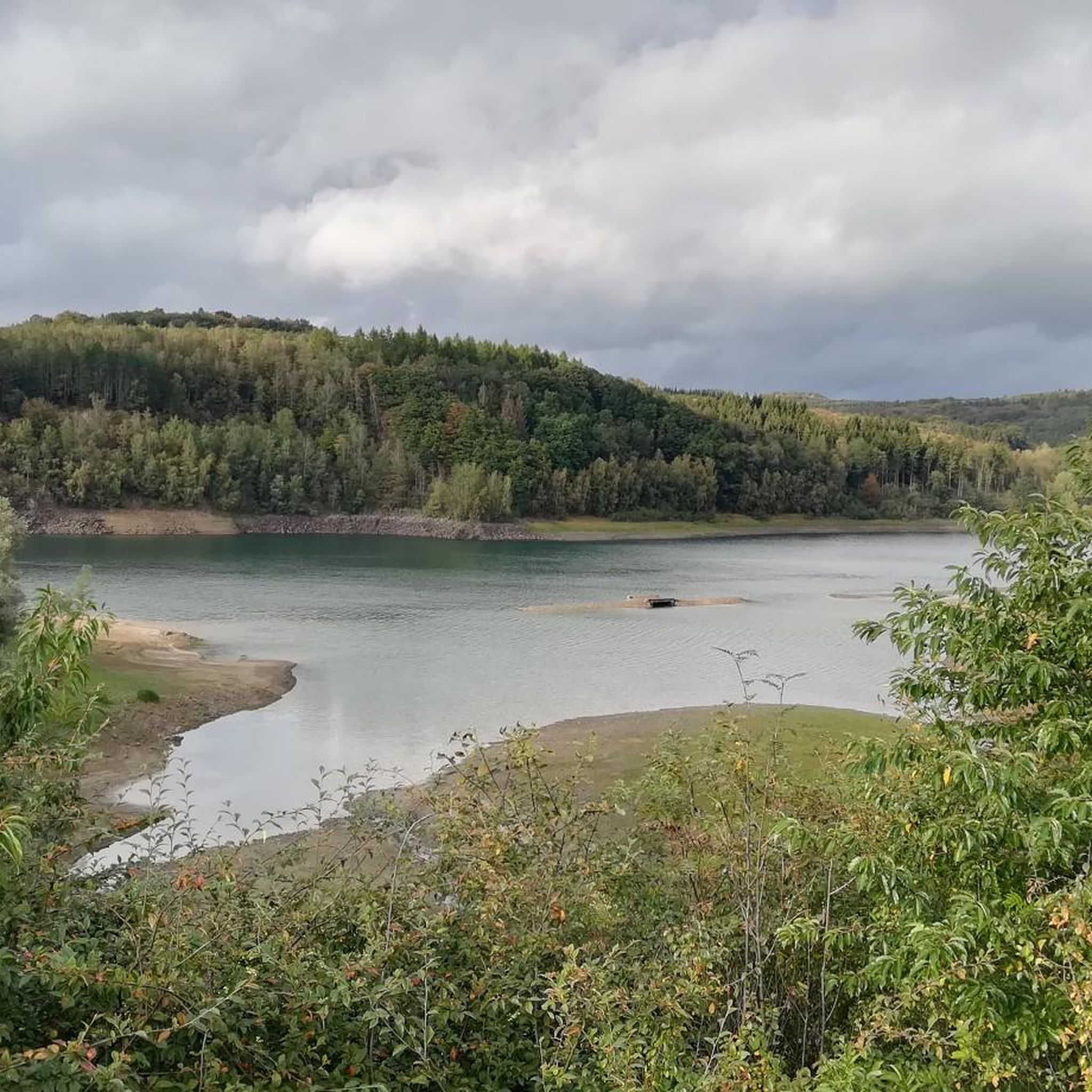
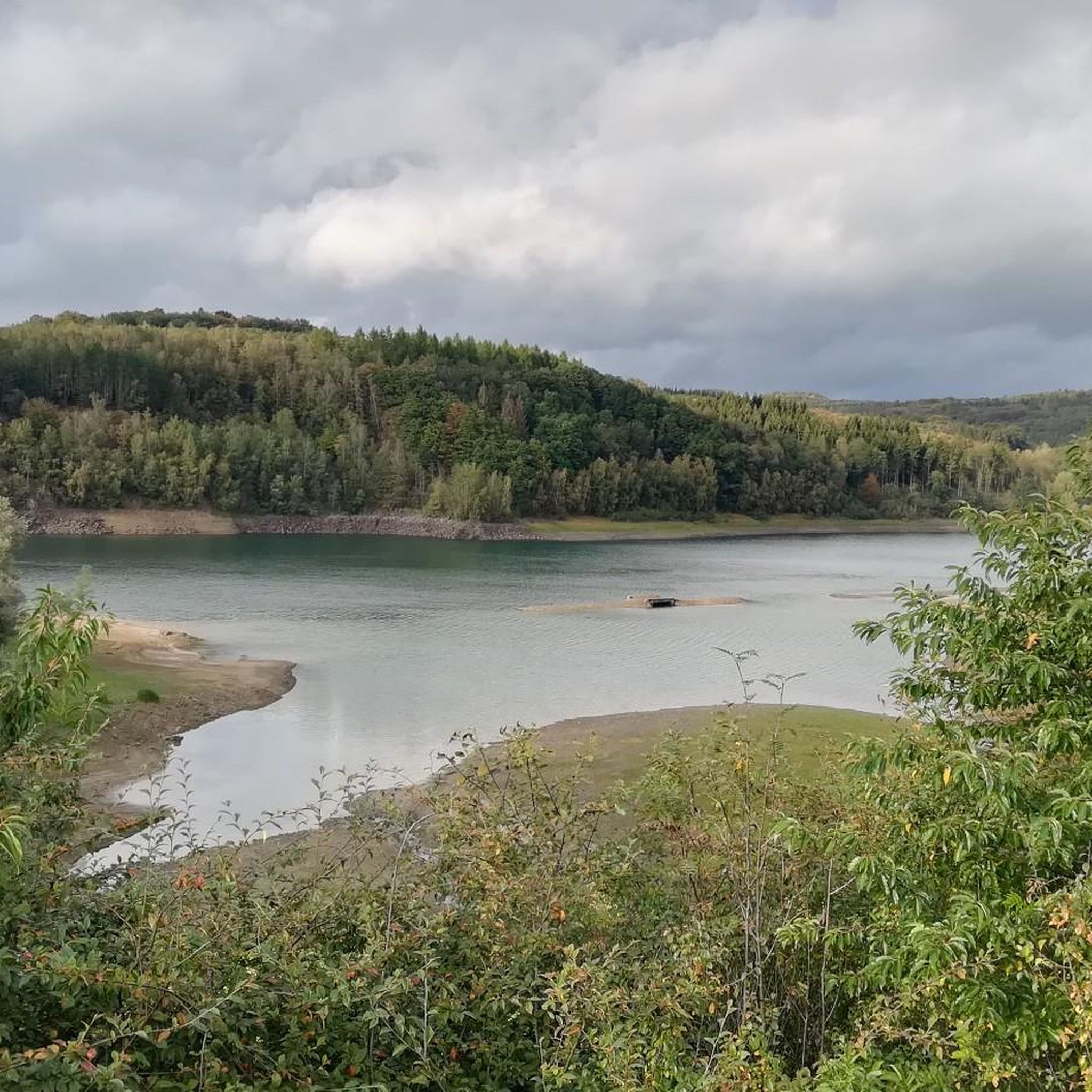
Road cycling routes around Wiehltalsperre traverse a landscape characterized by the reservoir itself, rolling hills, and extensive forested areas. The region offers varied terrain, including climbs and descents, suitable for road cyclists. Valleys and open stretches provide diverse riding experiences.
Best road cycling routes around Wiehltalsperre
- The most popular road cycling route is Crottorf Castle – View Near Erdingen loop from Dreschhauser Bachtal und Nebenbäche, a 30.0 miles (48.2 km) trail that takes 2 hours 20 minutes to complete.…
Last updated: July 5, 2026
9
riders
Moderate road ride. Good fitness required. Some segments of this route may be unpaved and difficult to ride.
4.0
(1)
8
riders
Moderate road ride. Good fitness required. Mostly well-paved surfaces and easy to ride.

Sign up for free
4.0
(1)
7
riders
32.3km
01:37
470m
470m
Moderate road ride. Good fitness required. Mostly well-paved surfaces and easy to ride.
5.0
(1)
5
riders
40.1km
02:07
620m
620m
Moderate road ride. Good fitness required. Mostly well-paved surfaces and easy to ride.
7
riders
Moderate road ride. Good fitness required. Mostly well-paved surfaces and easy to ride.
Get access to more routes and recommendations from other explorers.
Sign up for free
Already have an account?
Our route recommendations are based on thousands of hikes, rides, and runs completed by other people on komoot.
Start today with a free account
Your next adventure awaits.
Login or Signup


Other adventures around Wiehltalsperre

Tips from the Community

the valley from Oberwiehl to Sinspert high a cream cake
0
0

it is worth looking for the small roads in this area, less traffic and still beautiful
0
0
Well-developed road, more beautiful going down than going up
0
0

Huh, the view is okay, let's not exaggerate.
0
1
Ups and downs on asphalt
0
1
Another meadow that pretends to be a highlight
0
0
Wrong marking. But the path is still beautiful. It's a main road, but not much traffic
0
0
Frequently Asked Questions
What kind of terrain and difficulty levels can I expect on road cycling routes around Wiehltalsperre?
The Wiehltalsperre region offers a varied landscape with rolling hills, extensive forested areas, and the reservoir itself. You'll encounter a mix of climbs and descents, providing diverse riding experiences. Our routes cater to various skill levels, with 25 easy, 152 moderate, and 27 difficult options available, ensuring there's something for everyone from beginners to experienced climbers.
Are there road cycling routes suitable for families or beginners around Wiehltalsperre?
Yes, Wiehltalsperre offers several road cycling routes that are suitable for families and beginners. These routes typically feature less elevation gain and are shorter in distance. You can find 25 easy routes on komoot, perfect for a relaxed ride. Look for routes with 'easy' difficulty ratings to ensure a comfortable experience.
Where can I find parking for road bikes near the Wiehltalsperre trails?
Parking is generally available at various points around the Wiehltalsperre, especially near popular starting points for routes. Many villages and towns surrounding the reservoir, such as Reichshof or Brüchermühle, offer public parking facilities. It's advisable to check specific route descriptions on komoot for recommended starting points and parking information.
How can I access Wiehltalsperre road bike trailheads using public transport?
While direct access to all trailheads by public transport can be limited in rural areas, the Wiehltalsperre region is served by local bus lines connecting to nearby towns like Wiehl, Gummersbach, and Waldbröl. From these towns, you might be able to cycle to the starting points of some routes. We recommend checking local transport schedules and routes in advance for the most convenient options.
What is the best time of year for road biking around Wiehltalsperre?
The best time for road biking around Wiehltalsperre is typically from spring (April) through autumn (October). During these months, the weather is generally milder, and the natural scenery is at its most vibrant. Summer offers longer daylight hours, while spring and autumn provide pleasant temperatures and beautiful foliage. Always check the local weather forecast before heading out.
Are there any cafes or pubs along the road cycling routes in Wiehltalsperre?
Yes, many road cycling routes around Wiehltalsperre pass through or near charming villages and towns where you can find cafes, bakeries, and traditional pubs (Gasthäuser). These spots are perfect for a refreshing break, a coffee, or a meal. It's a good idea to plan your route with potential stops in mind, especially for longer rides.
What are some scenic viewpoints or landmarks I can see while road cycling in Wiehltalsperre?
The Wiehltalsperre region offers numerous scenic spots. You'll enjoy views of the reservoir itself, rolling hills, and dense forests. Some routes also pass by historical landmarks. For instance, the Crottorf Castle – View Near Erdingen loop from Dreschhauser Bachtal und Nebenbäche offers scenic views near Crottorf Castle. Another route, the Rote Kapelle – Wildenburg Castle loop from Reichshof, takes you past historical sites like Wildenburg Castle.
Are there challenging road bike climbs for experienced cyclists in Wiehltalsperre?
Absolutely. The rolling hills of the Wiehltalsperre region provide ample opportunities for challenging climbs. With 27 routes rated as 'difficult' on komoot, experienced cyclists can test their endurance on significant ascents. These routes often feature steeper gradients and longer climbs, rewarding riders with exhilarating descents and panoramic views.
Can I find circular road bike routes around Wiehltalsperre?
Yes, many of the road cycling routes around Wiehltalsperre are designed as loops, allowing you to start and finish at the same point. For example, the popular Crottorf Castle – View Near Erdingen loop from Dreschhauser Bachtal und Nebenbäche and the Wiehl River in Wiehl – Climb to the Long Descent loop from Brüchermühle are both excellent circular options. You can easily filter for circular routes on komoot to find more options.
How long are the road cycling routes typically around Wiehltalsperre?
The road cycling routes around Wiehltalsperre vary significantly in length. You can find shorter rides, but many popular routes range from 30 to 50 kilometers (18 to 31 miles). For example, the Crottorf Castle – View Near Erdingen loop is 48.2 km, and the Half-timbered house in Husten – View of the Wiehl Reservoir loop is 43 km. This variety allows cyclists to choose a route that fits their desired duration and fitness level.
What do other road cyclists enjoy most about road cycling in Wiehltalsperre?
The komoot community highly rates road cycling in Wiehltalsperre, with an average score of 4.6 stars from over 390 reviews. Cyclists often praise the diverse terrain, the scenic views of the reservoir and surrounding forests, and the well-maintained roads. Many appreciate the mix of challenging climbs and enjoyable descents, as well as the peaceful atmosphere away from heavy traffic.
Are there any specific safety considerations for road cycling in the Wiehltalsperre area?
When road cycling around Wiehltalsperre, it's important to be aware of the varying terrain, which includes both flat sections and significant climbs and descents. Some roads may be narrow or wind through forested areas, so always ride defensively and be visible. As with any outdoor activity, check weather conditions before you go, especially for rain which can make descents slippery. Always wear a helmet and carry appropriate repair gear.
Most popular routes around Wiehltalsperre

Get inspired with the komoot mobile app


Explore more
Browse the best Road cycling routes in other regions.
