The best cycling routes around Los Gatos
4.5
(38)
724
riders
34
rides
Touring cycling routes around Los Gatos are set within the foothills of the Santa Cruz Mountains, offering diverse landscapes for cyclists. The region features rolling hills, dense redwood forests, and significant water bodies like Lexington Reservoir and Vasona Lake. Terrain varies from paved paths along creeks to challenging ascents into the mountains, providing a range of experiences.
Best touring cycling routes around Los Gatos
- The most popular touring cycling route is Los Gatos Creek Trail, an easy 16.7 miles (26.9 km) trail that takes 1 hour 35 minutes to complete. This path follows an old railway bed alongside the scenic creek.
- Another top favourite among local touring cyclists is Vasona Lake – Mount Umunhum loop from Oak Meadow, a difficult 34.3 miles (55.3 km) path. This route includes significant elevation gains through mountainous terrain.
- Local touring cyclists also love the Lexington Reservoir loop from Oak Meadow, a 17.6 miles (28.3 km) trail leading through hills surrounding the reservoir, often completed in about 2 hours 5 minutes.
- Touring cycling around Los Gatos is defined by the Santa Cruz Mountains, Lexington Reservoir, and redwood forests. The network offers options for different ability levels, from relaxed creek-side rides to challenging mountain ascents.
- The routes in Los Gatos are highly rated by the komoot community with an average score of 4.4 stars from over 30 reviews. More than 800 touring cyclists have used komoot to explore Los Gatos's varied terrain.
Last updated: August 17, 2026
4.5
(15)
184
riders
26.9km
01:35
100m
100m
Cycle the easy 16.7-mile Los Gatos Creek Trail, enjoying creek views, Vasona Lake, and urban access in Los Gatos Creek County Park.
4.6
(14)
118
riders
18.2km
01:05
90m
90m
Easy bike ride. Great for any fitness level. Mostly paved surfaces. Suitable for all skill levels.

Sign up for free
46
riders
55.0km
04:08
1,270m
1,270m
Hard bike ride. Very good fitness required. Mostly paved surfaces. Suitable for all skill levels.
27
riders
Moderate bike ride. Good fitness required. Mostly paved surfaces. Suitable for all skill levels.
18
riders
57.5km
03:20
150m
150m
Moderate bike ride. Good fitness required. Mostly paved surfaces. Suitable for all skill levels.
Get access to more routes and recommendations from other explorers.
Sign up for free
Already have an account?
Our route recommendations are based on thousands of hikes, rides, and runs completed by other people on komoot.
Start today with a free account
Your next adventure awaits.
Login or Signup
Tips from the Community

If you make the summit a fantastic view awaits. Be aware the road goes down then up to the road about then up again to the summit!…
0
0

This non-profit organization was founded in 1968 in an effort to preserve the history of the steam locomotive and commemorate the life of Billy Jones.
0
0

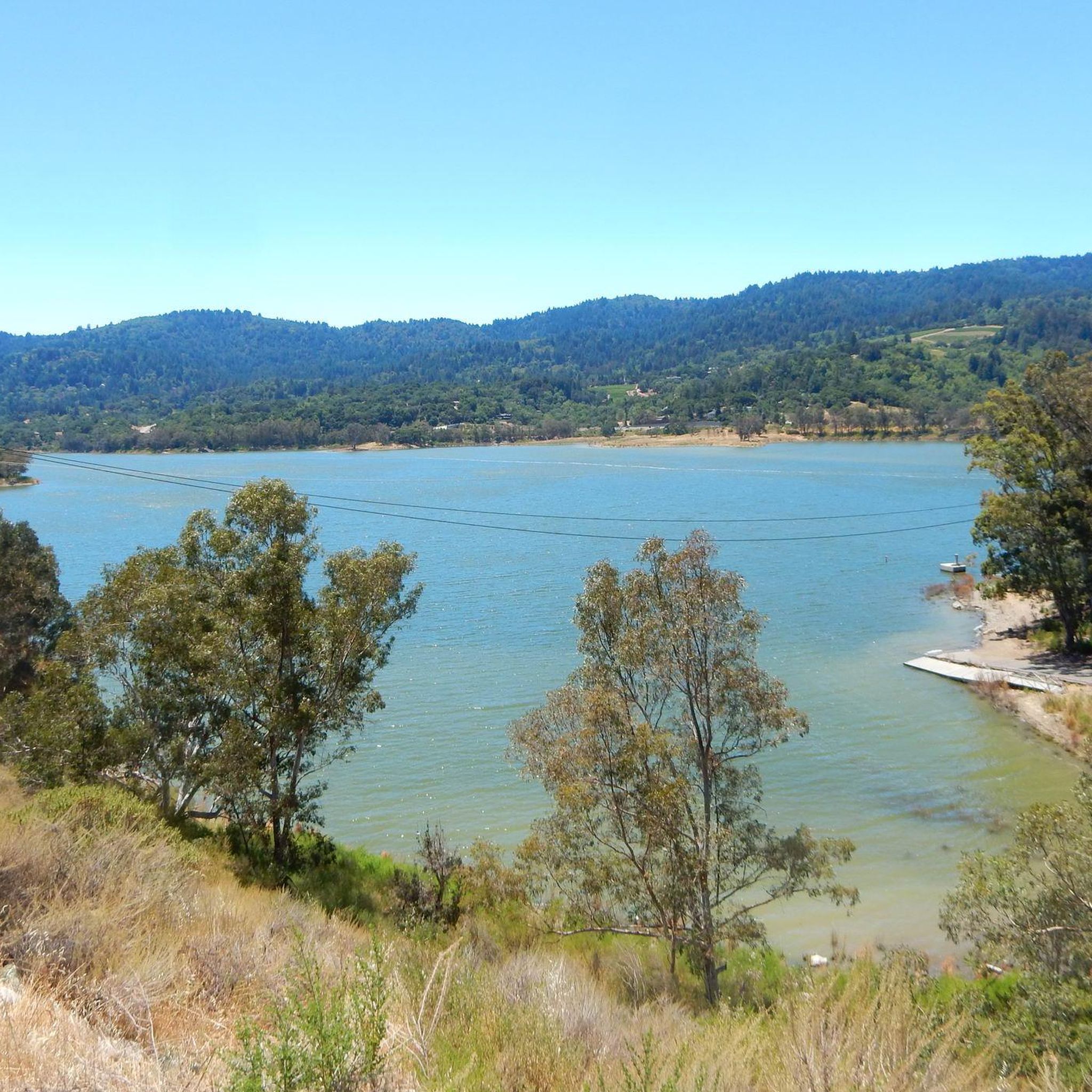
Vasona Reservoir, located on Los Gatos Creek, is surrounded by the 152-acre Vasona Lake County Park. Built in 1935 as one of six original reservoirs approved by voters in 1934. Vasona Reservoir holds 495 acre-feet of water and spans 57 acres. The park offers picnicking, catch-and-release fishing, and human-powered boating. Swimming is not permitted. It's a great spot for photography and sunrises.
1
0

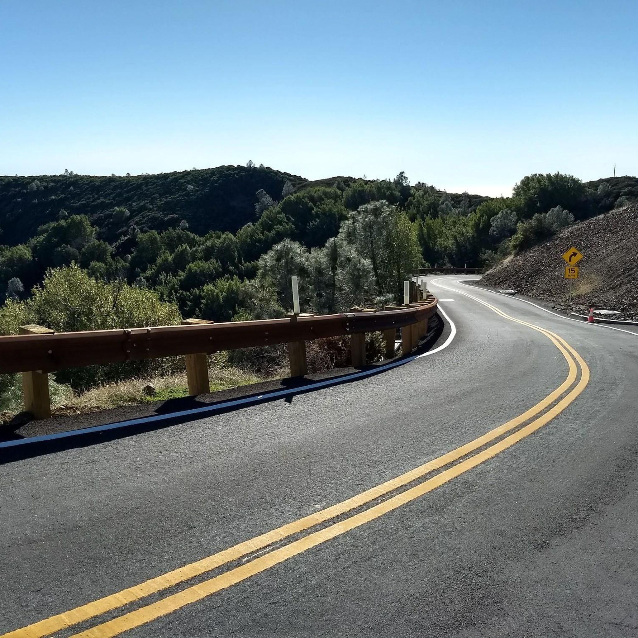
Climbing Mount Umunhum is a tough but rewarding challenge. The road is steep, with sections reaching up to 18% grades, so pace yourself. The views from the top are spectacular, making the hard work worth it. Start early to avoid traffic and the heat, and be prepared for a long, demanding ascent.
0
0

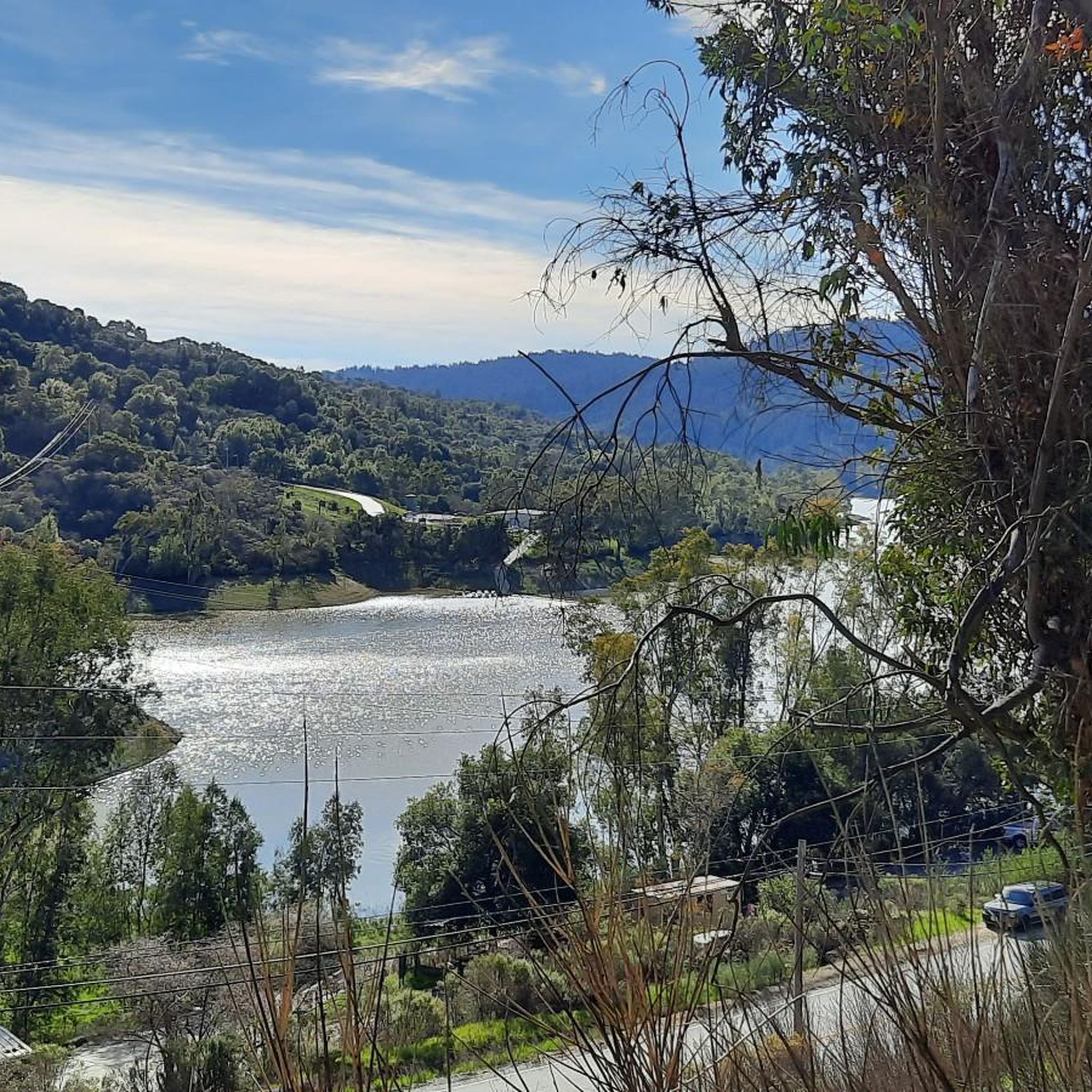
If you keep biking south from here along the Los Gatos Creek Trail, you'll quickly reach Vasona Lake County Park, which has some nice multi-use trail loops where biking is allowed.
0
0
The Guadalupe River Park Trail is a key part of the city's trail network, stretching 20 miles from the San Francisco Bay to south San José. The downtown section runs through the 250-acre Guadalupe River Park, offering a beautiful, mostly flat, paved path for walkers, cyclists, and nature lovers. The trail links Alviso at the Bay's edge to Downtown San José, with a southern segment connecting to Lake Almaden and Los Alamitos Creek. It's accessible via light rail and offers designated parking and rest areas along the route.
1
0
The Los Gatos Creek Trail offers a safe paved trail for walkers, joggers, cyclists, skaters, and nature lovers. Spanning multiple jurisdictions, it runs from San Jose through Campbell and Los Gatos, managed by agencies from these areas. The Campbell section has some nice shady spots, a gazebo, and an exercise circuit near Campbell Park; the whole trail spans about 10 miles.
0
0

Hicks Road winds around Guadalupe Reservoir. Here, you can see some of the best views of the lake. Please be cautious of cars.
0
0
Frequently Asked Questions
How many touring cycling routes are available in Los Gatos?
Los Gatos offers a wide variety of touring cycling routes, with over 40 options available. These routes cater to different skill levels, including easy, moderate, and difficult trails, ensuring there's something for every cyclist.
What kind of terrain can I expect on touring cycling routes in Los Gatos?
The touring cycling routes in Los Gatos feature diverse terrain. You can expect everything from smooth, paved paths along creeks, like the Los Gatos Creek Trail, to challenging ascents through the rolling hills of the Santa Cruz Mountains. Some routes also incorporate gravel sections, offering a varied experience through redwood forests and scenic countryside.
Are there easy or family-friendly touring cycling routes in Los Gatos?
Yes, Los Gatos has several easy touring cycling routes perfect for beginners or families. The Los Gatos Creek Trail is a prime example, offering a relaxed ride alongside the creek. Another accessible option is the Vasona Lake – Camden Ponds loop from Los Gatos, which features minimal elevation gain.
What are some challenging touring cycling routes for experienced riders?
For experienced touring cyclists seeking a challenge, Los Gatos offers routes with significant elevation gains through mountainous terrain. The Vasona Lake – Mount Umunhum loop from Oak Meadow is a difficult 34.3-mile path with substantial climbing. Another demanding option is the Mount Umunhum – Mount Umunhum loop from Leigh High School, which also features over 1000 meters of ascent.
Are there any circular touring cycling routes in Los Gatos?
Yes, many touring cycling routes in Los Gatos are designed as loops, allowing you to start and end at the same point. Popular loop options include the Lexington Reservoir loop from Oak Meadow and the Vasona Lake – Camden Ponds loop from Los Gatos, providing convenient round trips.
What landmarks or points of interest can I see along the touring cycling routes?
Los Gatos touring cycling routes offer access to several notable landmarks and natural features. You can cycle past the scenic Lexington Reservoir, Vasona Lake County Park, and through parts of the Santa Cruz Mountains. Highlights include the Stevens Creek Reservoir and Camden Ponds. The Los Gatos Creek Trail itself connects to various local parks and attractions.
Are there scenic viewpoints along the touring cycling routes in Los Gatos?
Absolutely. The Santa Cruz Mountains provide numerous opportunities for panoramic views. Routes that ascend into the hills, such as those near Mount Umunhum or St. Joseph's Hill Open Space Preserve, offer sweeping vistas of the mountains and Silicon Valley. The View from Maisie's Peak is a notable viewpoint.
What do other touring cyclists enjoy about the routes in Los Gatos?
The touring cycling routes in Los Gatos are highly rated by the komoot community, with an average score of 4.4 stars from over 30 reviews. Cyclists frequently praise the region's diverse landscapes, from the serene creek-side paths to the challenging mountain ascents, and the stunning natural beauty of the Santa Cruz Mountains and redwood forests.
Where can I park when cycling in Los Gatos?
Parking is generally available at various access points for popular routes. For instance, Vasona Lake County Park offers parking, which is a convenient starting point for routes like the Vasona Lake – Camden Ponds loop from Los Gatos. Access points for the Los Gatos Creek Trail, such as East Main Street at College Avenue, Miles Avenue, and Oak Meadow Park, also typically have parking facilities.
Is public transport available to access touring cycling routes in Los Gatos?
Los Gatos has some public transport options that can help access cycling routes, particularly the Los Gatos Creek Trail, which extends from Lexington Reservoir through Los Gatos and Campbell to San Jose. For specific bus routes and schedules that accommodate bicycles, it's advisable to check local transit authority websites.
What is the best time of year for touring cycling in Los Gatos?
Los Gatos is a prime destination for outdoor enthusiasts, and touring cycling can be enjoyed year-round due to its mild climate. Spring and fall generally offer the most pleasant temperatures for longer rides, with lush scenery. Summer can be warm, especially in the valleys, while winter brings cooler temperatures and occasional rain, but many days remain suitable for cycling.
Are there any cafes or places to stop for refreshments near the touring cycling routes?
Yes, Los Gatos offers several options for refreshments. The Los Gatos Creek Trail, for example, passes through Los Gatos and Campbell, providing easy access to cafes and eateries in the downtown areas. Vasona Lake County Park also has amenities that might include food vendors or picnic areas.
Most popular routes around Los Gatos
Most popular attractions around Los Gatos

Get inspired with the komoot mobile app


Explore more
Browse the best Cycling routes in other regions.
