The best road cycling routes around Benicia
4.7
(81)
1,069
riders
13
rides
Road cycling routes around Benicia offer a diverse landscape for riders. The region features a scenic waterfront along the Carquinez Strait and San Pablo Bay, providing flat sections with expansive water views. Inland, the terrain includes marshland, grassy hillsides, and roads with significant hills, catering to various cycling preferences. This area connects to extensive trail networks, allowing for both shorter local rides and longer regional explorations.
Best road cycling routes around Benicia
- The most popular road cycling route is Carquinez…
Last updated: July 7, 2026
5.0
(5)
52
riders
56.6km
03:03
600m
600m
Moderate road ride. Good fitness required. Some segments of this route may be unpaved and difficult to ride.
11
riders
Moderate road ride. Good fitness required. Some segments of this route may be unpaved and difficult to ride.

Sign up for free
4.6
(5)
28
riders
18.5km
00:48
70m
70m
Easy road ride. Great for any fitness level. Mostly well-paved surfaces and easy to ride.
7
riders
113km
05:32
1,550m
1,550m
Hard road ride. Very good fitness required. Some segments of this route may be unpaved and difficult to ride.
7
riders
27.9km
01:16
250m
250m
Easy road ride. Great for any fitness level. Mostly well-paved surfaces and easy to ride.
Get access to more routes and recommendations from other explorers.
Sign up for free
Already have an account?
Our route recommendations are based on thousands of hikes, rides, and runs completed by other people on komoot.
Start today with a free account
Your next adventure awaits.
Login or Signup

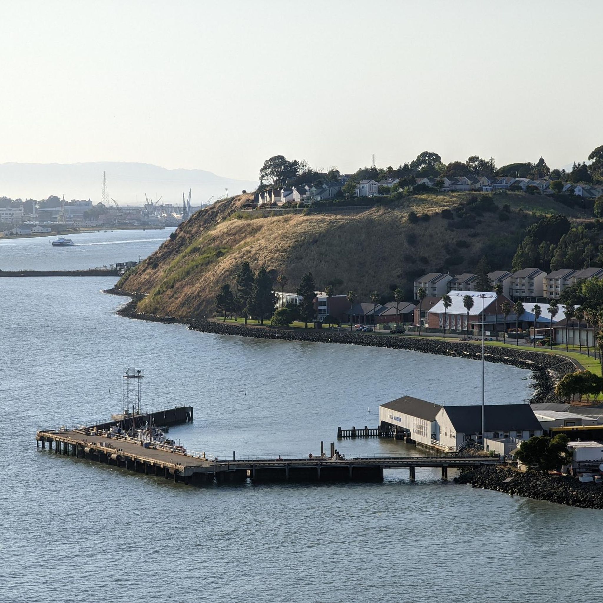
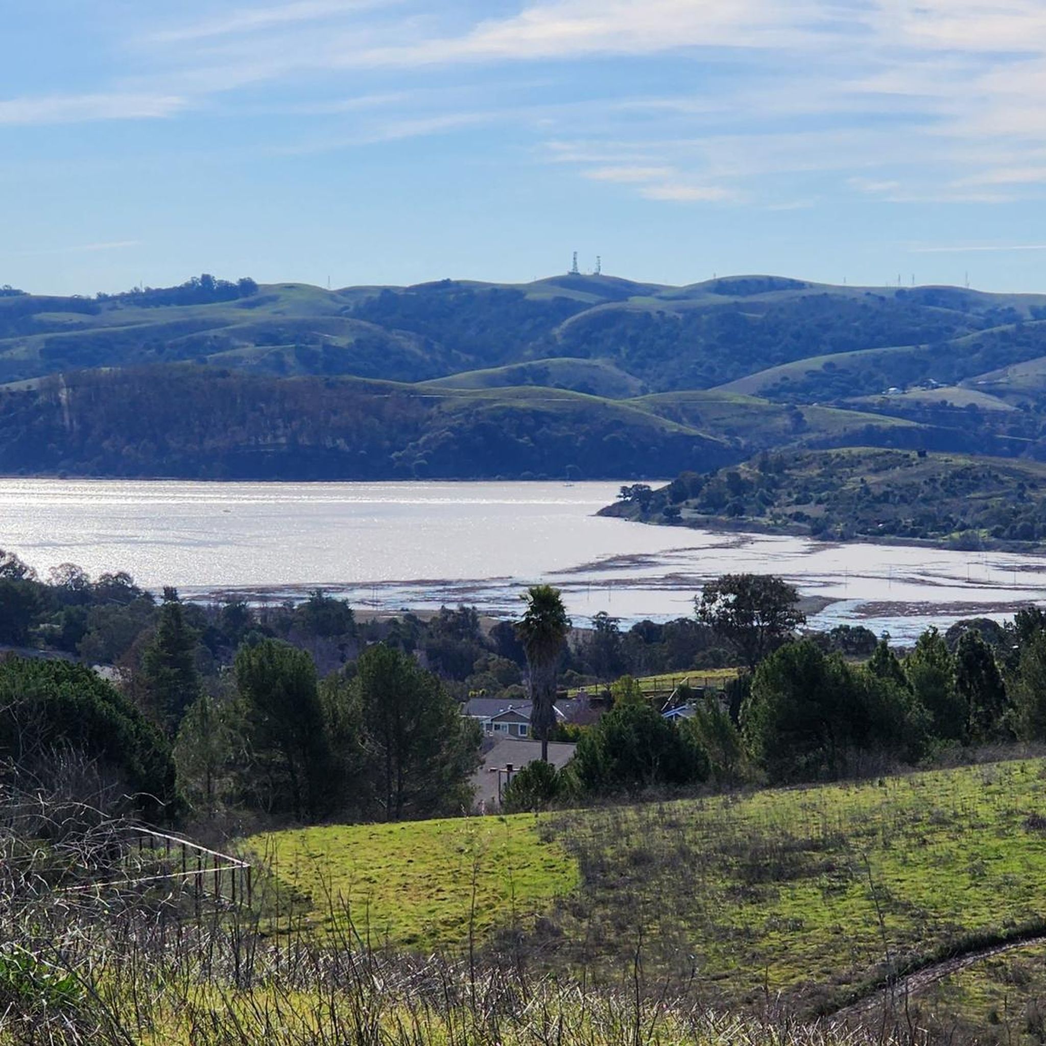
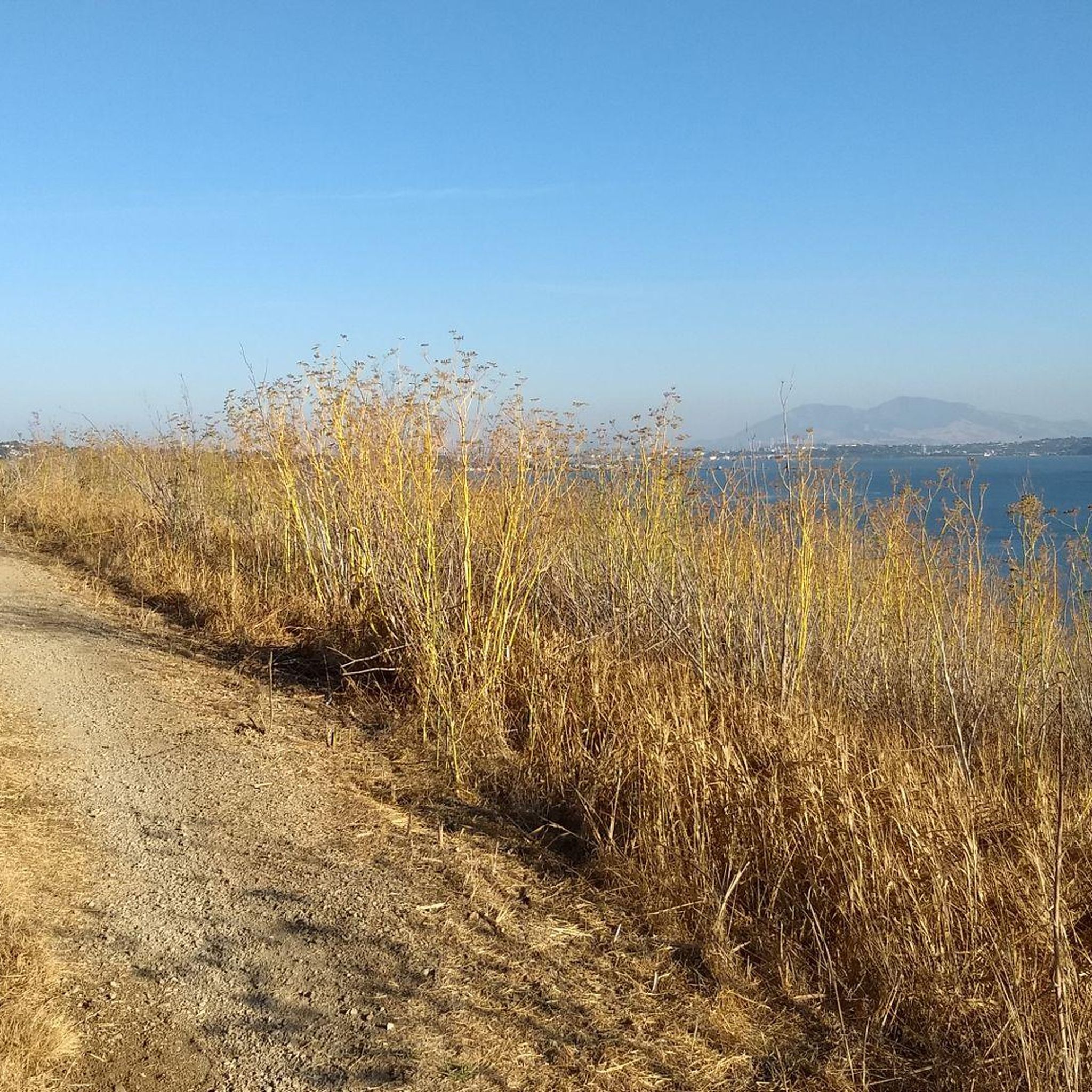
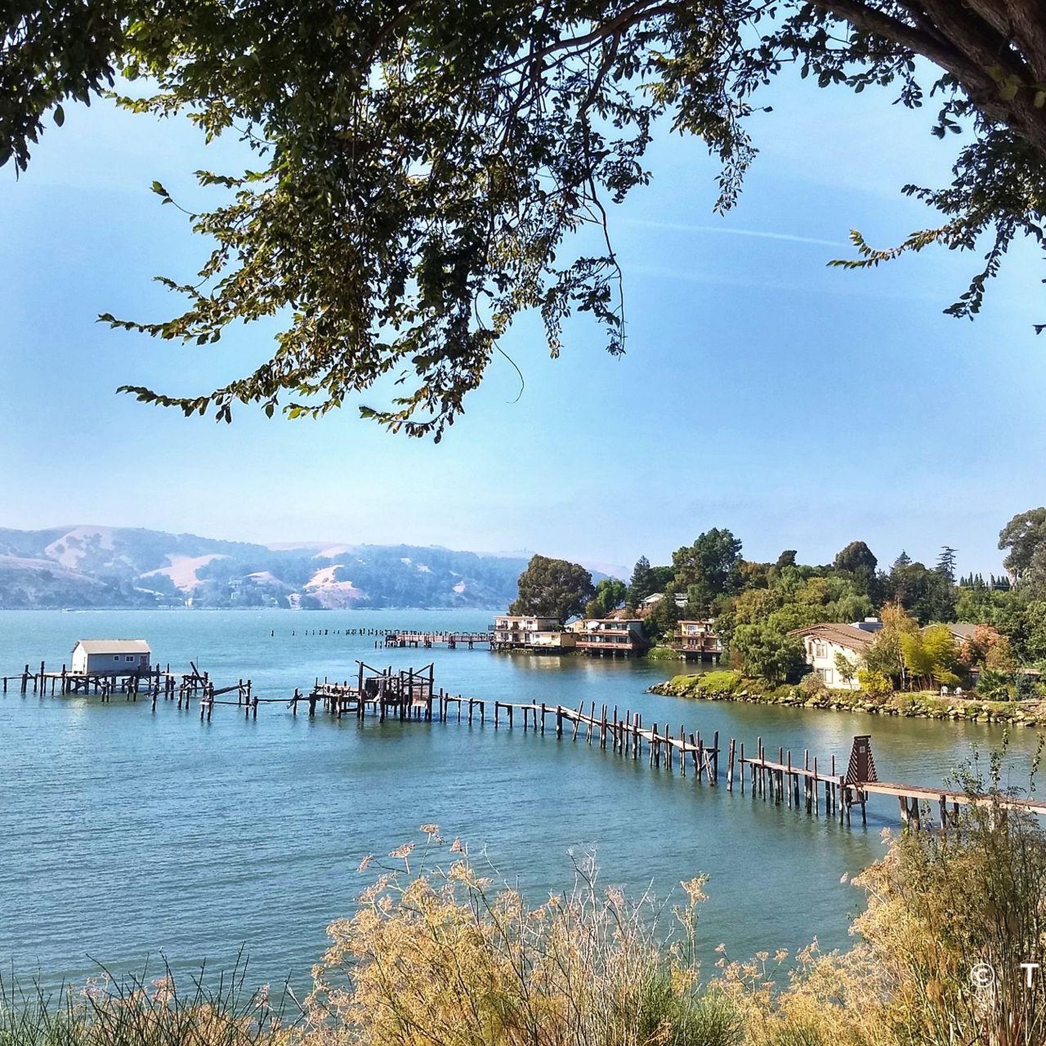
Other adventures around Benicia

Tips from the Community

The Benicia State Recreation Area entrance sits just off I780 and offers easy access to paved bike trails, marshland views, and shaded picnic spots. From here, you can connect to the Carquinez Scenic Drive or explore the wetlands along Southampton Bay. It’s a convenient launch point for a peaceful ride or walk through this tucked-away stretch of shoreline.
0
0

The Benicia Arsenal was established in 1849 on 345 acres of land east of the City and adjacent to the Carquinez Strait. The area was developed over a century of active military use with a variety of facility types including administrative and office buildings, storehouses, shops and residential quarters, as well as a hospital and port. In addition to the frame, brick, and stone structures built in the area between 1854 and 1911, many newer buildings were constructed during World War II. The Arsenal was deactivated in 1964 and the Defense Department transferred ownership to the City of Benicia in 1965. Today, the City retains ownership of several of the most historically significant structures, including the Commanding Officer's Quarters, the Clocktower building, the "Camel Barns", and one of the original powder magazines. The Arsenal is now characterized by older historic buildings, as well as studios, small professional offices, commercial and light industrial activities.
0
0
Small grass area above a beach cove at 6th and West I Streets.
1
0
Scenic park along San Francisco Bay Trail, with sweeping views across Carquinez Strait
1
0

This road parallels the ridgeline above and have great views over the bay and surrounding hills.
0
0

The Lafayette-Moraga Regional Trail is a 7.65-mile path that runs through Moraga Valley, connecting Las Trampas Ridge with Oakland Hills.
0
0

Here, at the northwest corner of Alvarez Ninth Street Park, is a nice vista point over the Carquinez Strait. There is a wooden viewpoint, and it is a nice stop to snap a few photos.
0
0

This beautiful park is a gem, with incredible views of the strait and surrounding hills. Several roads and trails pass through the area, suitable for hiking and biking along the grassy hillsides and rocky beaches. There is a drinking fountain at the trailhead and vault toilets where the paved trail meets K Street. It's a great place to enjoy a picnic, watch the ships go by, or explore the marshland area on Dillon's Point.
0
0
Frequently Asked Questions
What kind of terrain can I expect on road cycling routes in Benicia?
Benicia offers a diverse range of terrain for road cyclists. You'll find scenic waterfront paths along the Carquinez Strait and San Pablo Bay, providing flat sections with expansive water views. Inland, the routes feature marshland, grassy hillsides, and roads with significant climbs, such as Rose, Hastings, Panorama, Chelsea Hills, and Cambridge, catering to various cycling preferences.
Are there challenging road cycling routes in Benicia for experienced riders?
Yes, Benicia provides challenging routes for experienced road cyclists. For instance, the Grizzly Peak Boulevard – Skyline Boulevard loop from Benicia is a difficult 70-mile (113 km) route with over 5,000 feet (1500 m) of elevation gain. Longer rides incorporating Lopes Road, Red Top Road, and McGary Road also feature varied and significant elevation changes.
Are there easy road cycling routes suitable for beginners in Benicia?
Absolutely. Benicia's waterfront areas offer flat, easy, and scenic cycling experiences perfect for beginners. The Dillon Point Trail – Mike Taugher Trail loop from Benicia is an easy 11.4-mile (18.3 km) route leading through waterfront areas. The Benicia Marina also provides a beautiful cycling path with views of boats and willow trees.
What scenic viewpoints or natural features can I see while road cycling in Benicia?
Road cycling in Benicia offers numerous scenic viewpoints and natural features. You can enjoy stunning water views of the Carquinez Strait and San Pablo Bay, especially along routes like the Carquinez Strait loop. The Benicia State Recreation Area features marshland, grassy hillsides, and rocky beaches. Highlights like the Little Bull Valley Carquinez Overlook provide expansive vistas.
Are there any historical landmarks to explore on road cycling routes in Benicia?
Yes, Benicia is rich in history. You can explore the historic Benicia Arsenal, characterized by older buildings now housing studios and businesses, as seen on the Benicia Arsenal loop from Southampton Bay Wetland Natural Preserve. A downtown historic ride also takes cyclists past First Street businesses, the State Capitol, and several historic buildings from the 1800s.
What is the best time of year for road cycling in Benicia?
Benicia is generally pleasant for road cycling year-round, but spring and fall often offer the most comfortable temperatures and clear skies. The region's mild climate makes it accessible for cycling even in winter, though checking local weather conditions is always advisable.
Is parking available near road cycling routes in Benicia?
Yes, parking is generally available. For routes accessing the Benicia State Recreation Area, there's convenient parking off I-780. Many routes starting downtown or near parks will also have accessible parking options. It's always a good idea to check specific route starting points for detailed parking information.
Can I access Benicia's road cycling routes using public transport?
Benicia has local public transport options, and its connection to regional trail networks like the Bay Area Ridge Trail and San Francisco Bay Trail means some routes might be accessible via public transport connections in the wider Bay Area. However, direct public transport access to all specific road cycling route starting points may vary.
Are there family-friendly road cycling routes in Benicia?
For families, the flatter, paved paths along Benicia's waterfront and within the Benicia State Recreation Area are ideal. These areas offer a safe and scenic environment for riders of all ages. The Benicia Marina path is also a great option for a relaxed family ride.
Are there places to stop for refreshments or food along Benicia's road cycling routes?
Yes, especially if your route passes through or near downtown Benicia. The historic First Street area offers numerous businesses, cafes, and restaurants where you can stop for refreshments. Routes like the Lake Herman Loop, which starts downtown, provide opportunities to combine cycling with exploring local eateries.
What do other road cyclists enjoy the most about road cycling in Benicia?
The road cycling routes in Benicia are highly rated by the komoot community, with an average score of 4.7 stars from over 40 reviews. Cyclists frequently praise the scenic waterfront paths, the varied hilly terrain, and the connections to extensive regional trail networks that offer options for both easy rides and more challenging routes with significant elevation changes.
How many road cycling routes are available around Benicia?
There are over 10 distinct road cycling routes available around Benicia, catering to various skill levels and preferences. These routes range from easy waterfront rides to more difficult climbs with significant elevation changes.
Most popular attractions around Benicia

Get inspired with the komoot mobile app


Explore more
Browse the best Road cycling routes in other regions.
