The best road cycling routes around Sierra Madre
4.5
(45)
3,265
riders
67
rides
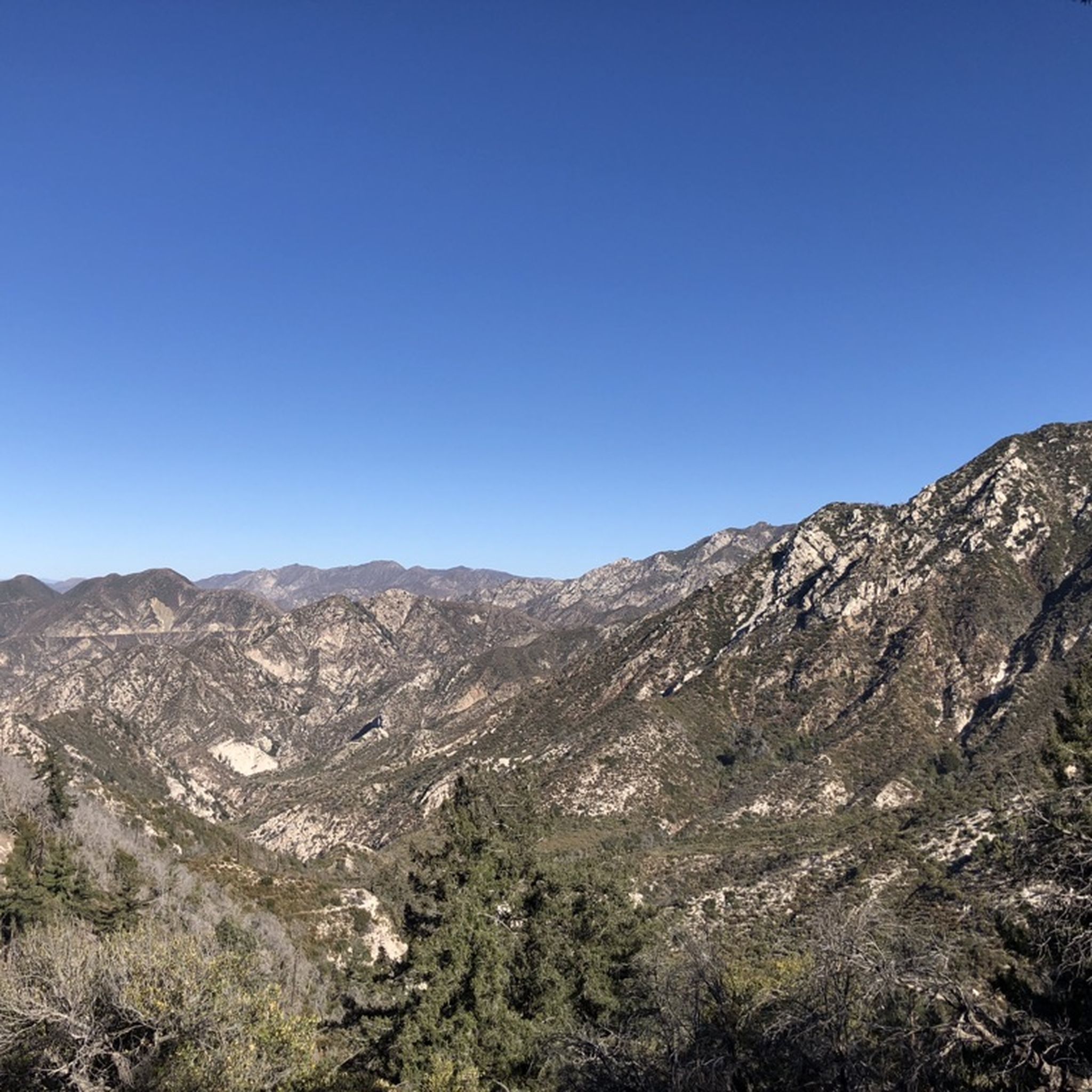
Road cycling routes around Sierra Madre feature diverse landscapes with significant elevation changes, offering challenging ascents and rewarding descents. The region is characterized by lush forests, dramatic river canyons, and expansive views of valleys and mountains. Cyclists can traverse through varied ecosystems, from subtropical areas to pine forests, providing a dynamic backdrop for rides.
Best road cycling routes around Sierra Madre
- The most popular road cycling route is Bosque del Rio Hondo – Rio Hondo Greenway loop from Arcadia,…
Last updated: September 30, 2026
5.0
(1)
78
riders
63.3km
03:30
930m
930m
Hard road ride. Very good fitness required. Mostly well-paved surfaces and easy to ride.
41
riders
34.0km
01:34
110m
110m
Easy road ride. Great for any fitness level. Mostly well-paved surfaces and easy to ride.

23
riders
47.0km
02:10
330m
330m
Moderate road ride. Good fitness required. Mostly well-paved surfaces and easy to ride.
21
riders
35.9km
01:47
510m
510m
Moderate road ride. Good fitness required. Mostly well-paved surfaces and easy to ride.
33
riders
Moderate road ride. Good fitness required. Mostly well-paved surfaces and easy to ride.
Get access to more routes and recommendations from other explorers.
Already have an account?
Our route recommendations are based on thousands of hikes, rides, and runs completed by other people on komoot.
Start today with a free account
Your next adventure awaits.

Tips from the Community

The road south creates a nice, fast, gradual descent from the north side of Altadena. Just be safe and keep an eye out for cross-traffic at the intersections.
0
0
There are lots of vintage shops and cafes in the historic downtown. Library Park is a great place to rest in the shade with a bite to eat before continuing your ride.
0
0

The Rio Hondo Greenway is a beautiful bike lane that follows the river that gives the trail its name. It is fully paved and flat, so it is not a challenging trail.
0
0
Old Town Monrovia is a 10‑block historic district centered on Myrtle Avenue, that has brick‑lined sidewalks, vintage lampposts, and boutique shops.
0
0
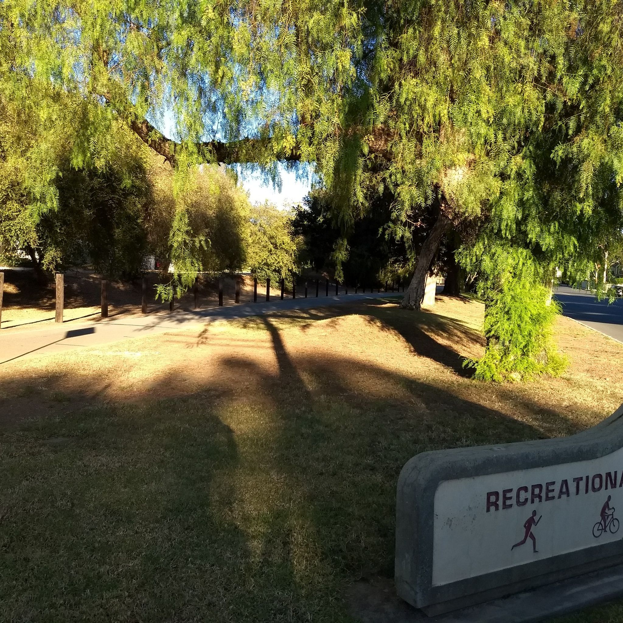
Monrovia Recreation Park is 22 acres and has playgrounds, picnic shelters, and restrooms. It is a good spot for a break in the shade and some water.
0
0
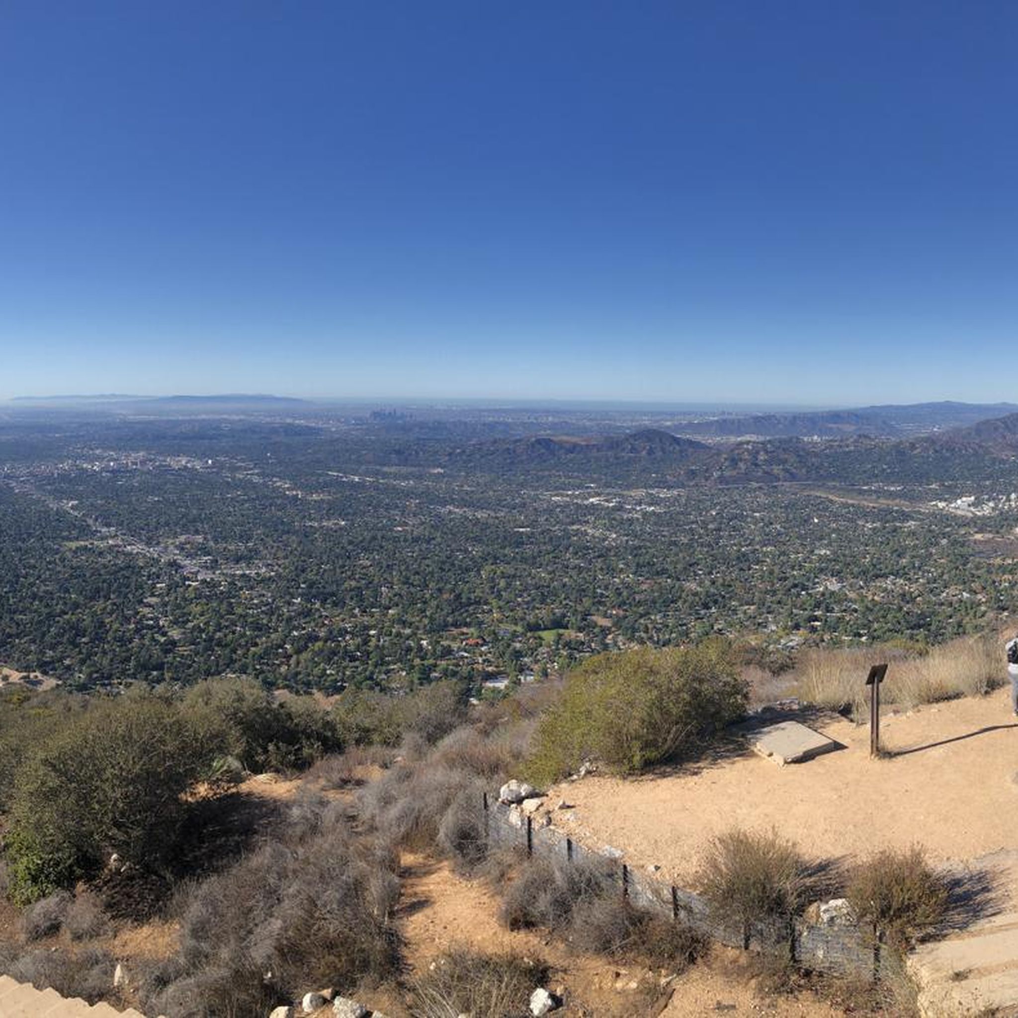
Great view from the cycle path of the San Gabriel Mountains in the distance.
0
0

Brookside Park is Pasadena's largest fully maintained park at 61.1 acres. It sits south of Rose Bowl Stadium with tons of parking off Arroyo Boulevard. The park features a lighted baseball diamond, two softball diamonds, and a large, lighted, multi-purpose field for soccer and flag football. There is also a speaker's platform with permanent seating, numerous picnic tables, barbecue pits, a play area, restrooms, and drinking fountains.
0
0

Leafy park with lawns and shaded seating, restrooms, drinking water. Great for a break
1
0
Frequently Asked Questions
How many road cycling routes are available in the Sierra Madre region?
There are over 60 road cycling routes available in the Sierra Madre region on komoot, catering to various skill levels. This includes 25 easy routes, 33 moderate routes, and 5 challenging routes, ensuring options for every cyclist.
What kind of terrain and elevation can I expect on road cycling routes in Sierra Madre?
Road cycling in the Sierra Madre region is characterized by diverse landscapes with significant elevation changes. You can expect challenging ascents and rewarding descents, with routes winding through lush forests and offering expansive views of valleys and mountains. For example, routes like Syndicate Coffee – Prime Pizza loop from Arcadia include over 1,600 feet (514 meters) of climbing, while easier options like Bosque del Rio Hondo – Rio Hondo Greenway loop from Arcadia feature minimal elevation gain.
Are there any family-friendly road cycling routes in Sierra Madre?
Yes, the Sierra Madre region offers several family-friendly road cycling routes. Many of the 25 easy routes are suitable for families, featuring less elevation gain and generally smoother paths. The Bosque del Rio Hondo – Rio Hondo Greenway loop from Arcadia is an easy 21.2-mile trail with minimal elevation, making it accessible for many cyclists.
What landmarks or natural features can I see along the road cycling routes?
Along the road cycling routes in Sierra Madre, you can encounter various natural and historical landmarks. Notable attractions include the Eaton Canyon Waterfall, the Historic Colorado Street Bridge, and the Mount Lowe Railway Ruins. The routes also offer expansive views of valleys and mountains, traversing through diverse ecosystems.
What do other road cyclists enjoy most about cycling in Sierra Madre?
The road cycling routes in Sierra Madre are highly rated by the komoot community, with an average score of 4.5 stars from over 30 reviews. Cyclists often praise the diverse landscapes, the balance of challenging climbs and rewarding descents, and the scenic views. The variety of routes, from easy loops to more demanding climbs, is also frequently highlighted.
Are there any circular road cycling routes in the Sierra Madre area?
Yes, many of the road cycling routes in Sierra Madre are designed as loops, offering a convenient way to start and end your ride at the same point. Examples include the Syndicate Coffee – Prime Pizza loop from Arcadia and the View of Eagle Rock – The Cub House loop from Sierra Madre Villa, providing varied distances and elevations.
What is the best season for road biking in Sierra Madre?
The Sierra Madre region generally offers favorable conditions for road cycling for much of the year due to its diverse climate. However, for optimal comfort, spring and fall often provide milder temperatures. Summers can be warm, especially at lower elevations, while winters might bring cooler temperatures and occasional rain, particularly at higher altitudes. Always check local weather forecasts before heading out.
Are there options for advanced road cyclists looking for challenging climbs?
Absolutely. While there are many easy and moderate routes, the Sierra Madre region also features routes with significant elevation gains suitable for advanced cyclists. Some routes involve substantial climbing, testing endurance and skill. The region's topography, with its dramatic elevation changes, ensures plenty of challenging ascents.
Where can I find cafes or places to refuel along the routes?
Many road cycling routes in Sierra Madre pass through or near local communities where you can find cafes and other establishments to refuel. For instance, the Syndicate Coffee – Prime Pizza loop from Arcadia and the Brookside Park – Syndicate Coffee loop from Arcadia are named after local spots, indicating opportunities for breaks. The The Cub House is also a known facility along some routes.
Are there any less crowded road cycling routes in Sierra Madre?
While some popular routes can see more traffic, the Sierra Madre region offers a wide network of over 60 routes, providing opportunities to find quieter paths. Exploring some of the less-trafficked roads or venturing out during off-peak hours can lead to a more serene cycling experience. Komoot's route planner can help you discover less-frequented options.
What are the typical distances of road cycling routes in Sierra Madre?
The road cycling routes in Sierra Madre vary significantly in length to accommodate different preferences and fitness levels. Distances range from shorter, easy loops like the 21.2-mile (34.0 km) Bosque del Rio Hondo – Rio Hondo Greenway loop from Arcadia, to longer, more challenging rides such as the 32.8-mile (52.8 km) View of Eagle Rock – The Cub House loop from Sierra Madre Villa. You can find routes tailored to your desired distance.
Most popular attractions around Sierra Madre

Get inspired with the komoot mobile app


Explore more
Browse the best Road cycling routes in other regions.
