The best MTB trails around Perlenbachtalsperre
4.5
(1602)
5,212
riders
184
rides
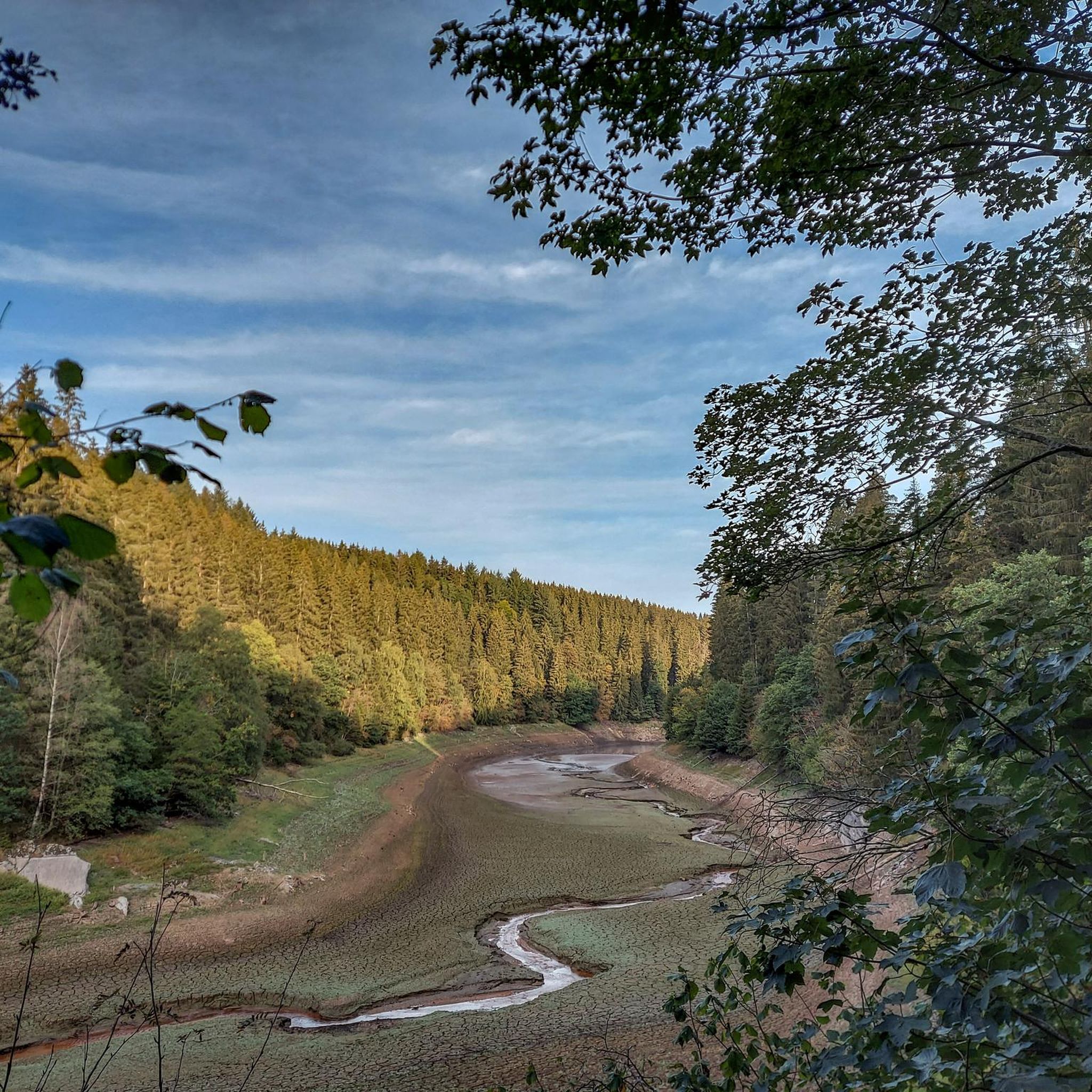
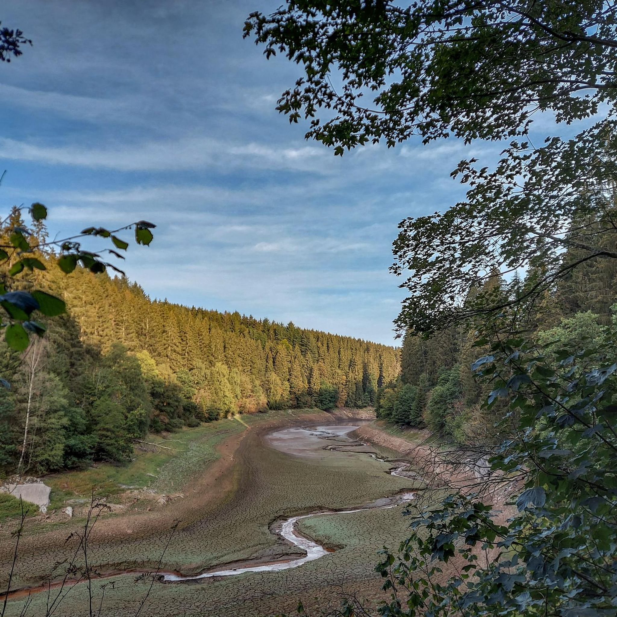
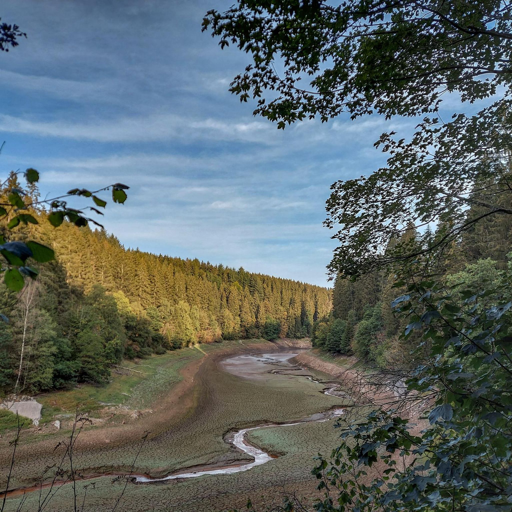
Mountain bike trails around Perlenbachtalsperre are situated in the North Rhine-Westphalia region of Germany, characterized by extensive forests and high plateaus. The area features varied topography, including the Perlenbach Valley and views of the reservoir, offering diverse terrain for mountain biking. This region, part of the Eifel, provides elevation changes and numerous winding forest paths.
Best mountain bike trails around Perlenbachtalsperre
- The most popular mountain bike trail is Alt Hattlich Forest Road – View of the High Fens loop from…
Last updated: September 30, 2026
5.0
(1)
5
riders
Moderate mountain bike ride. Good fitness required. Advanced riding skills necessary.
4.0
(2)
5
riders
54.9km
03:59
700m
700m
Moderate mountain bike ride. Good fitness required. Advanced riding skills necessary.

4.0
(1)
11
riders
Moderate mountain bike ride. Good fitness required. Advanced riding skills necessary.
4.0
(1)
6
riders
Moderate mountain bike ride. Good fitness required. Suitable for all skill levels.
3.9
(7)
21
riders
49.3km
03:16
520m
520m
Moderate mountain bike ride. Good fitness required. Suitable for all skill levels.
Get access to more routes and recommendations from other explorers.
Already have an account?
Our route recommendations are based on thousands of hikes, rides, and runs completed by other people on komoot.
Start today with a free account
Your next adventure awaits.
Tips from the Community

For cyclists, the path might be quite nice, but for hiking, it's rather monotonous
0
0
Ruhiges und ursprüngliches Bachtal. Hier lässt es sich entspannt wandern.
0
0

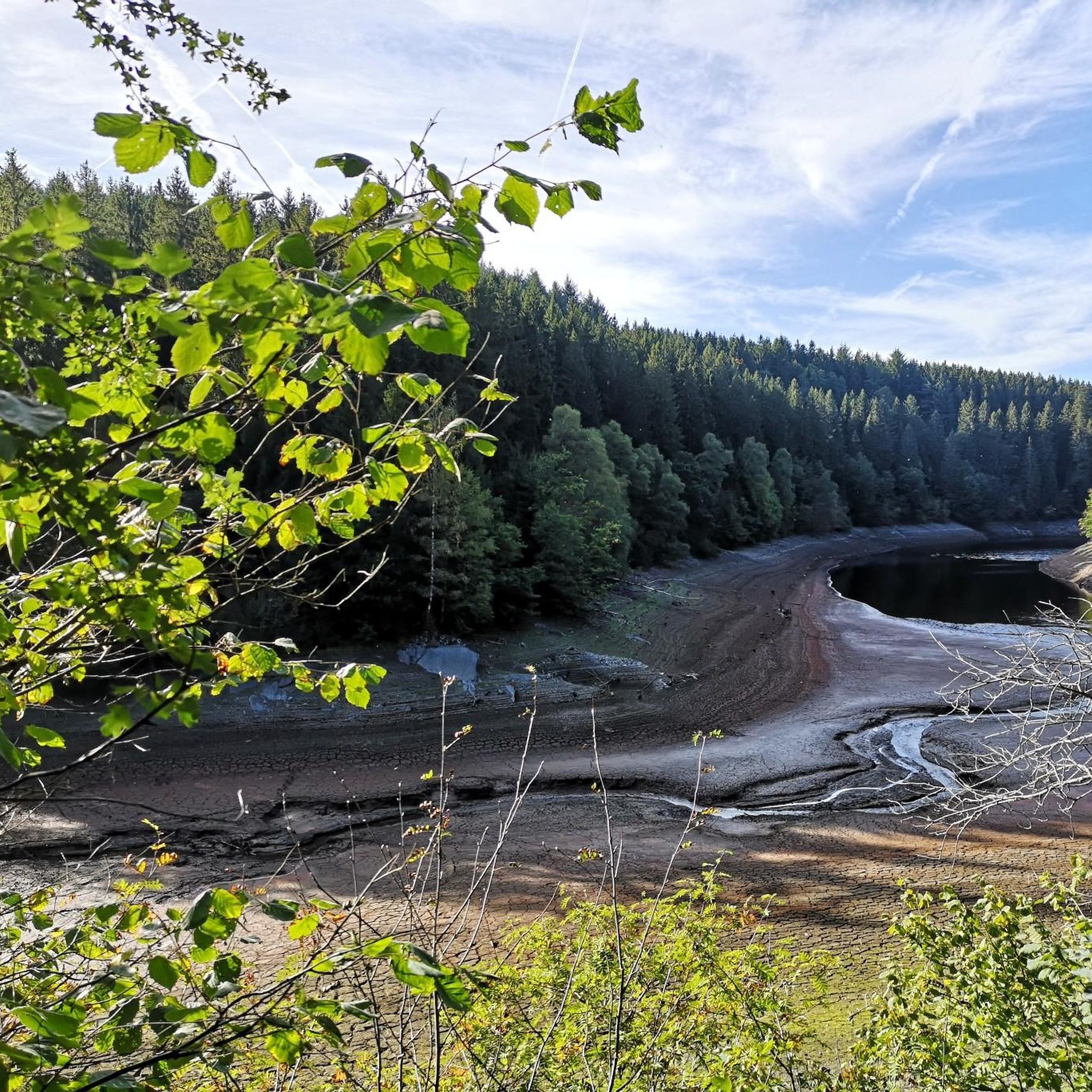
The small pond is located on the Fürtgesweg. A beautiful piece of nature.
10
0

A very beautiful trail made technical by the presence of numerous roots and stones
1
0
A beautiful trail along the water made technical by the presence of numerous roots and stones
2
0

A nice trail, also very doable for the gravel bike
0
0
From here you have a beautiful view of the Bütgenbach Lake.
0
1

The Bütgenbach dam was built between 1929 and 1932. The main function of the dam is to regulate the course of the Warche river. This created the lake of Bütgenbach. It is a starting point for beautiful, popular hiking routes: for example, a 10-kilometer walk can be made around the lake.
12
0
Frequently Asked Questions
What kind of terrain can I expect on mountain bike trails around Perlenbachtalsperre?
The region around Perlenbachtalsperre offers diverse terrain, characterized by extensive forests and high plateaus. You'll find numerous winding forest paths, significant elevation changes typical of the Eifel region, and scenic sections with views of the Perlenbach Valley and the reservoir. The trails range from easy to difficult, catering to various skill levels.
Are there mountain bike trails suitable for beginners or families around Perlenbachtalsperre?
Yes, Perlenbachtalsperre offers trails suitable for different ability levels, including easier options. Out of over 200 mountain bike routes, 28 are classified as easy. While specific family-friendly routes aren't detailed, the presence of easy trails suggests suitable options for those new to mountain biking or looking for a more relaxed ride.
What are some notable landmarks or viewpoints I can see while mountain biking near Perlenbachtalsperre?
Mountain biking around Perlenbachtalsperre offers several scenic points of interest. You can ride past the impressive Perlenbach Dam, enjoy tranquil views from the South Shore of the Perlenbach Reservoir, or take in panoramic vistas from the relaxation benches overlooking the Perlenbach Reservoir. The wider Perlenbach Valley also features interesting rock formations like Teufelsley, Engelsley, Bromelsley, and Pferdeley.
What do other mountain bikers enjoy most about the trails in Perlenbachtalsperre?
The mountain bike trails around Perlenbachtalsperre are highly rated by the komoot community, with an average score of 4.5 stars from over 1,300 reviews. Riders frequently praise the varied terrain, the intense nature experience provided by the extensive forests, and the picturesque views of the reservoir and surrounding landscapes.
Can I bring my dog on the mountain bike trails around Perlenbachtalsperre?
While the region is generally dog-friendly for outdoor activities, specific regulations for dogs on mountain bike trails can vary. It's always advisable to keep dogs on a leash, especially in forested areas or near wildlife habitats like the South Shore of the Perlenbach Reservoir, which is known as a beaver habitat. Please respect local signage and wildlife.
Are there any loop mountain bike trails available near Perlenbachtalsperre?
Yes, many of the mountain bike routes around Perlenbachtalsperre are designed as loops, offering convenient starting and ending points. For example, the Alt Hattlich Forest Road – View of the High Fens loop and the Richelsley Cross – Perlenbach Dam loop are popular moderate routes that provide circular experiences.
What is the best time of year to go mountain biking in Perlenbachtalsperre?
Perlenbachtalsperre offers beautiful mountain biking experiences throughout the year. Spring is particularly unique with blooming daffodil meadows in the Perlenbach Valley. Summer provides bright days, while autumn showcases vibrant foliage. Even winter can be appealing with snowy landscapes, though trail conditions may vary. Always check local weather and trail conditions before heading out.
Are there any long-distance mountain bike routes or challenging trails for experienced riders?
Yes, the region offers challenging topography and longer routes for experienced riders. For instance, the Hasselbach Trail – Hasselbachgraben Trail loop from Monschau is a moderate 33.1-mile (53.3 km) trail with significant elevation gain, leading through varied Eifel terrain. There are 49 difficult routes available for those seeking a greater challenge.
Is there parking available for mountain bikers at Perlenbachtalsperre?
While specific parking locations are not detailed, popular outdoor destinations like Perlenbachtalsperre typically offer designated parking areas for visitors. It is advisable to check local maps or route descriptions on komoot for recommended starting points and parking facilities near your chosen trailheads.
Can I reach the mountain bike trails around Perlenbachtalsperre using public transport?
Perlenbachtalsperre is located near Monschau, a picturesque town. While direct public transport links to specific trailheads might be limited, Monschau itself is accessible. For detailed information on public transport options to the region, it's best to consult local transport authorities or plan your route using a public transport planner.
Are there any cafes or places to eat along the mountain bike trails?
The region around Perlenbachtalsperre is known for its natural beauty, and while specific cafes directly on the trails are not highlighted, the proximity to Monschau suggests that amenities like cafes, pubs, and accommodation are available nearby. It's a good idea to plan your route to pass through or near Monschau if you wish to stop for refreshments.
How long do mountain bike trails typically take to complete in this area?
The duration of mountain bike trails around Perlenbachtalsperre varies significantly based on length and difficulty. For example, a moderate 23.0-mile (37.0 km) route like the Alt Hattlich Forest Road – View of the High Fens loop typically takes around 2 hours and 41 minutes, while longer routes can take upwards of 4 hours.
Most popular routes around Perlenbachtalsperre
Most popular attractions around Perlenbachtalsperre

Get inspired with the komoot mobile app


Explore more
Browse the best MTB trails in other regions.
