The best road cycling routes around Alameda
4.6
(558)
19,868
riders
13
rides
Road cycling around Alameda offers a diverse environment, characterized by its flat, scenic waterfront trails along the San Francisco Bay and accessible routes leading to the more challenging East Bay Hills. The island city features designated bike lanes and a generally flat elevation, making it suitable for various cycling abilities. This combination provides both leisurely rides with panoramic Bay views and opportunities for significant elevation gains in nearby areas.
Best road cycling routes around Alameda
- The most popular road cycling…
Last updated: September 28, 2026
5.0
(22)
74
riders
25.6km
01:15
40m
40m
Moderate road ride. Great for any fitness level. Some segments of this route may be unpaved and difficult to ride.
4.3
(3)
42
riders
Moderate road ride. Great for any fitness level. Some segments of this route may be unpaved and difficult to ride.

5.0
(2)
46
riders
Moderate road ride. Good fitness required. Mostly well-paved surfaces and easy to ride.
3.0
(1)
20
riders
17.9km
00:56
30m
30m
Easy road ride. Great for any fitness level. Mostly well-paved surfaces and easy to ride.
4.0
(1)
20
riders
19.0km
00:55
30m
30m
Easy road ride. Great for any fitness level. Mostly well-paved surfaces and easy to ride.
Get access to more routes and recommendations from other explorers.
Already have an account?
Our route recommendations are based on thousands of hikes, rides, and runs completed by other people on komoot.
Start today with a free account
Your next adventure awaits.

Tips from the Community

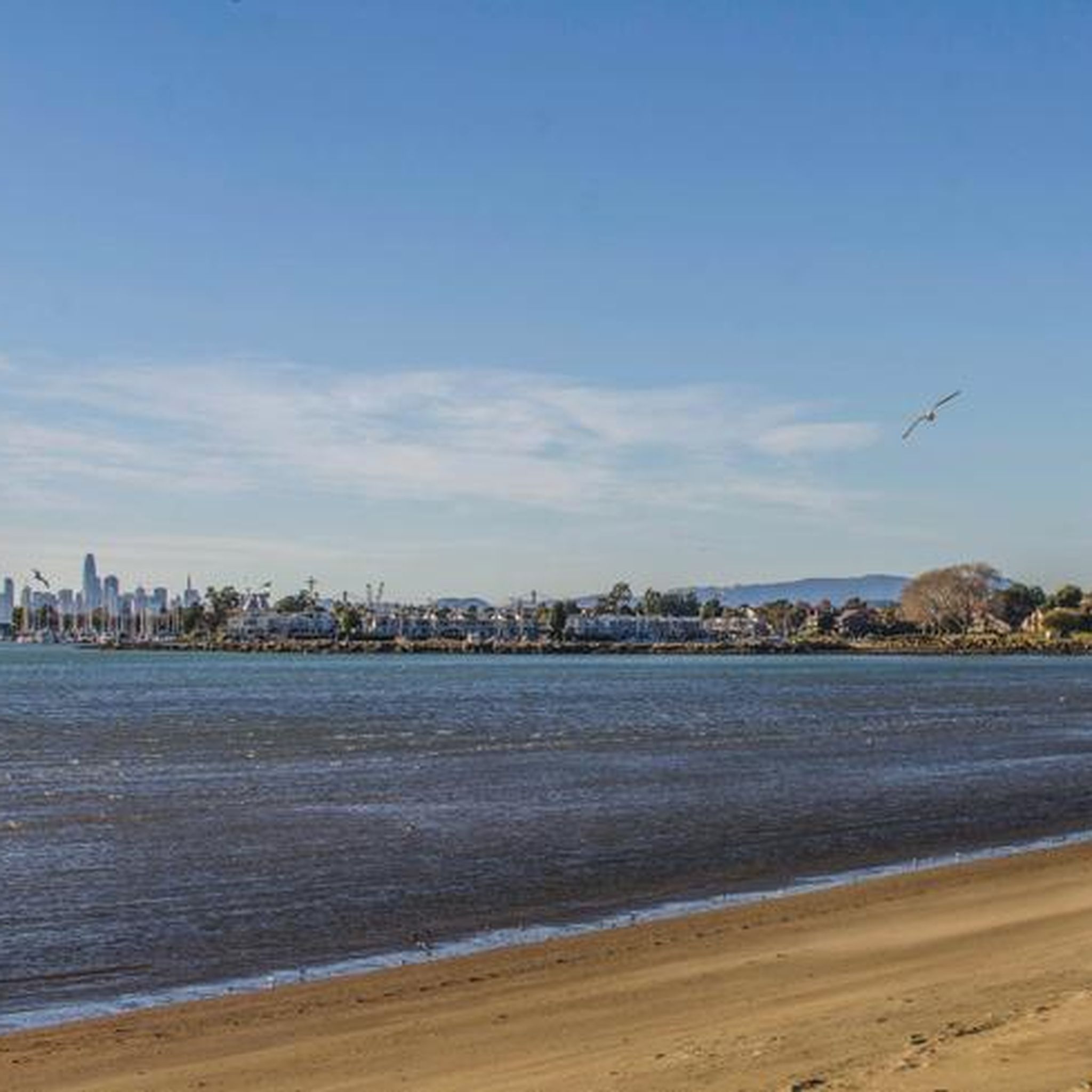
There is a great path that runs along the beach and gives you good views of San Francisco Bay. It is popular with bikers, runners and walkers, so make sure that you are respectful to other users.
0
0

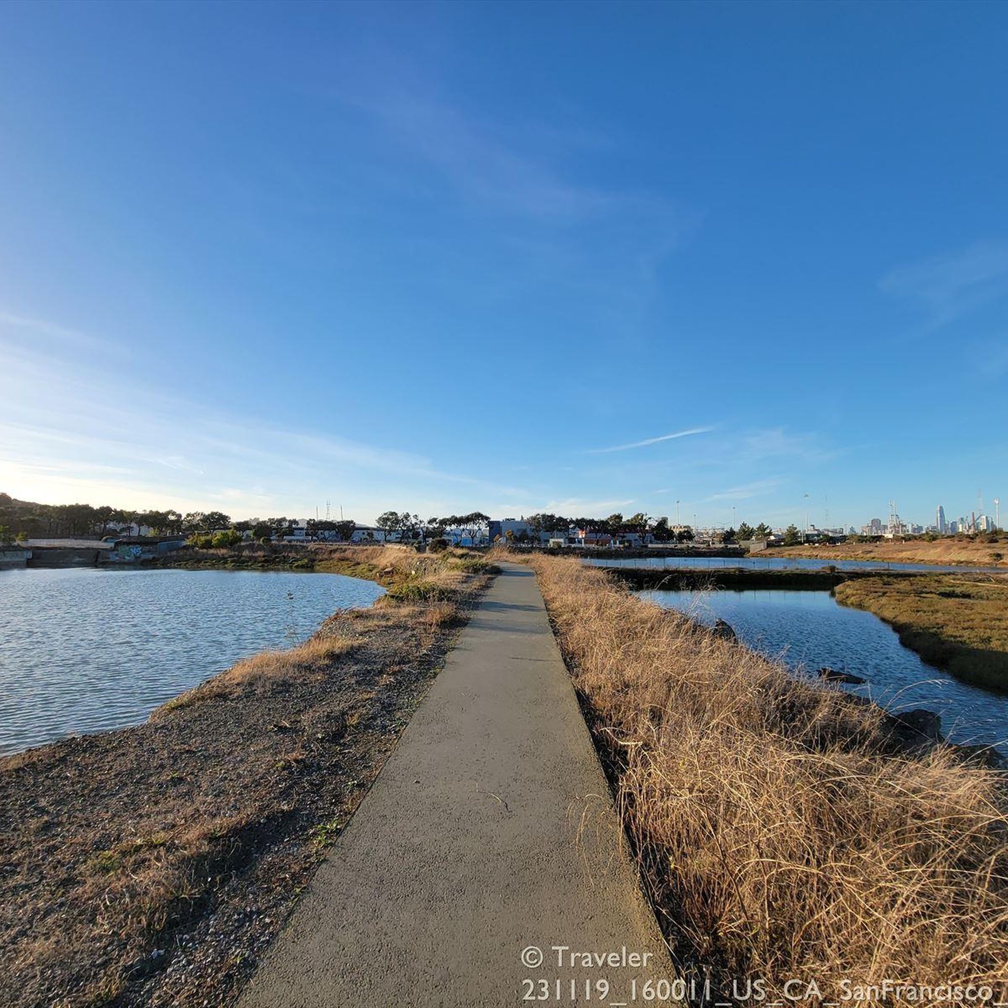
Jean Sweeney Open Space Park is located at 1925 Sherman Street and is on the former Alameda Beltline Railroad property, which was secured through local resident Jean Sweeney’s advocacy, for whom the park is named for. It features various amenities including a playground, barbecue pits, a drinking fountain, an outdoor pavilion, parking lot, picnic area, restrooms, and paved walking and bike trails.
0
0

This stretch of trail offers stunning, panoramic overlooks of the water, including San Francisco Bay.
0
0

magnificent view of the bay and San Francisco
0
0

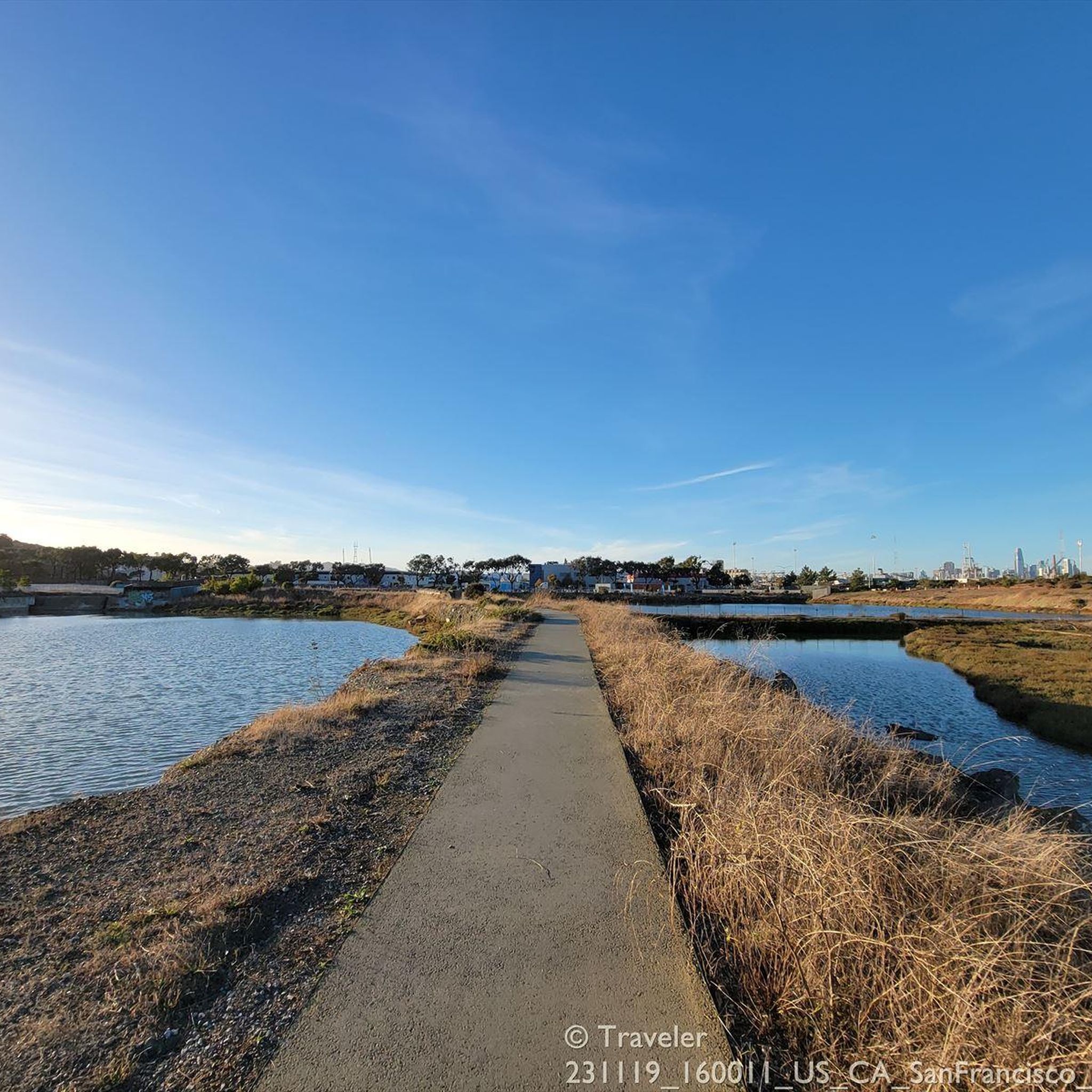
Oyster Bay Regional Shoreline is a park within the East Bay Regional Park District that sits along the eastern shore of San Francisco Bay, just south of Oakland International Airport. This bay is home to the indigenous Olympia oyster (Ostrea lurida) and is home to a variety of wildlife, including marsh hawks, black-shouldered kites, red-tailed hawks, and shorebirds. Bikers can circle this park on the paved San Francisco Bay Trail, a ride with a few feet of the waters edge.
0
0
This stretch of trail offers stunning overlooks of San Francisco Bay.
0
0

Originally, this area was used as a landfill, but it was capped and is now designated as the Oyster Bay Regional Shoreline. Landfill operations stopped in 1977. The site has since been repurposed for visitors to enjoy dog walking, biking, hiking, and picnicking. There are future development plans to add active recreation areas, including facilities for disc golf and a bike park. More parking will be created within the park for better accessibility.
0
0
Frequently Asked Questions
What kind of terrain can I expect when road cycling around Alameda?
Alameda offers a diverse road cycling experience. You'll find many flat, scenic waterfront trails along the San Francisco Bay, perfect for leisurely rides. For those seeking more challenge, there's excellent access to the East Bay Hills, where you can encounter significant elevation gains and more demanding climbs.
How many road cycling routes are available in Alameda?
There are over 200 road cycling routes around Alameda available on komoot, catering to various skill levels and preferences. This includes 77 easy routes, 97 moderate routes, and 35 difficult routes.
Are there easy, flat road cycling routes suitable for beginners or families in Alameda?
Yes, Alameda is well-suited for easy, flat rides, especially along its waterfront. The city's low elevation and designated bike lanes make it very accessible. Consider routes like the Alameda Shoreline & Bayfarm Trail for scenic, flat options, or the Lake Merritt to Reinhardt Redwood Regional Park loop, which offers a moderate experience with some elevation but is generally manageable.
Where can I find more challenging road cycling routes with elevation gain near Alameda?
For more challenging rides with significant elevation, you'll want to head towards the East Bay Hills. Routes like the Bay Overlook – Skyline Boulevard loop from Lake Merritt offer nearly 1000 meters of elevation gain. Other options include exploring areas accessible via Tunnel Road, Grizzly Peak Boulevard, or Skyline Boulevard, which provide sustained climbs and rewarding views.
What are some scenic road cycling routes with Bay views in Alameda?
Many routes in Alameda offer stunning Bay views. The Alameda Shoreline & Bayfarm Trail provides picturesque waterfront vistas. For expansive panoramic views of the San Francisco Bay, consider the Bay Overlook – Skyline Boulevard loop from Lake Merritt, which takes you through the East Bay Hills with incredible overlooks.
What do other cyclists say about road cycling in Alameda?
The road cycling routes around Alameda are highly regarded by the komoot community, holding an average rating of 4.6 stars from over 500 reviews. Cyclists often praise the diverse terrain, from flat waterfront paths to challenging hill climbs, and the beautiful Bay views.
Are there any notable landmarks or attractions I can see along road cycling routes?
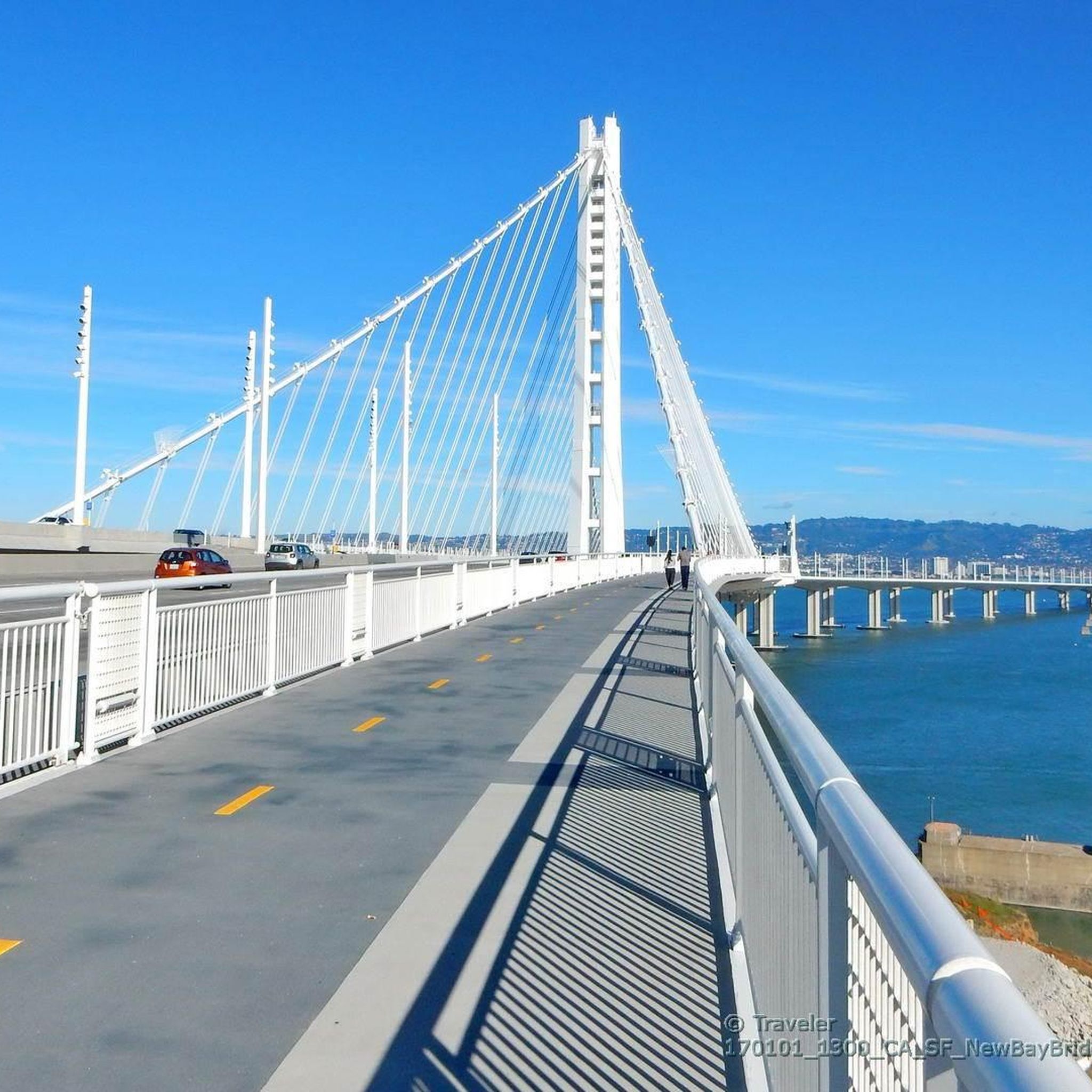
Yes, there are several interesting landmarks and attractions. You can cycle past Lake Merritt in Oakland, a popular spot for outdoor activities. The Pier 39 & Sea Lions and Lombard Street in San Francisco are also accessible via the Bay Bridge Trail, offering iconic city sights.
When is the best time of year to go road cycling in Alameda?
Alameda generally offers good cycling conditions year-round due to its mild climate. However, the spring and fall months often provide the most pleasant weather with moderate temperatures and less chance of rain, making them ideal for exploring the routes.
Are there any circular road cycling routes in Alameda?
Many of the road cycling routes around Alameda are designed as loops, allowing you to start and end at the same point. Examples include the Lake Merritt to Sibley Volcano Reserve loop and the Grizzly Peak Boulevard – Skyline Boulevard loop from Lake Merritt, both offering varied terrain and scenic views.
Can I access road cycling routes in Alameda using public transport?
Alameda is well-connected to the wider Bay Area public transport network. Many routes, particularly those starting near Lake Merritt in Oakland, are easily accessible via BART (Bay Area Rapid Transit) and local bus services, which often accommodate bicycles. It's advisable to check specific transit line policies for bike access.
Are there specific trails that are car-free or particularly safe for road cycling?
Yes, Alameda offers several car-free or designated bike-friendly paths. The Alameda Shoreline & Bayfarm Trail provides a safe, separated path along the waterfront. Additionally, the Alameda Creek Trail, though slightly further afield in Fremont, is a paved, car-free trail ideal for a safe and enjoyable riding experience.
Most popular routes around Alameda
Most popular attractions around Alameda

Get inspired with the komoot mobile app


Explore more
Browse the best Road cycling routes in other regions.
