The best road cycling routes around Ontario
4.8
(13)
1,090
riders
51
rides
If you've ever tried to plan road cycling around Ontario, you know how overwhelming the options can be – a sea of routes, and it's tough to tell which ones are genuinely worth your time and effort. We get it. That's why we've put together this guide, drawing on the collective wisdom of komoot's community who have mapped, ridden, and reviewed these routes. Consider this your shortcut to the best road cycling routes Ontario has to offer, saving you the…
Last updated: June 2, 2026
5.0
(4)
381
riders
73.6km
04:37
1,660m
1,660m
Hard road ride. Very good fitness required. Mostly well-paved surfaces and easy to ride.
29
riders
32.5km
02:02
260m
260m
Moderate road ride. Good fitness required. Mostly well-paved surfaces and easy to ride.

5.0
(1)
38
riders
42.0km
02:09
130m
130m
Moderate road ride. Good fitness required. Mostly well-paved surfaces and easy to ride.
11
riders
88.5km
03:53
690m
690m
Moderate road ride. Good fitness required. Mostly well-paved surfaces and easy to ride.
11
riders
27.1km
01:24
430m
430m
Moderate road ride. Good fitness required. Mostly well-paved surfaces and easy to ride.
Get access to more routes and recommendations from other explorers.
Already have an account?
Our route recommendations are based on thousands of hikes, rides, and runs completed by other people on komoot.
Start today with a free account
Your next adventure awaits.


Tips from the Community

The boulevard is a part of Historic Route 66, which served as a cultural lifeblood of the United States from its inception in 1926 until the construction of interstate highways in the mid-late 1900s.
0
0
You can cycle across the top of the dam, which was constructed in 1928 to help control flooding in the region. It stands at 147 feet high, and today supports a myriad of outdoor recreation activities on the reservoir.
0
0
There are lots of vintage shops and cafes in the historic downtown. Library Park is a great place to rest in the shade with a bite to eat before continuing your ride.
0
0

Old Town Monrovia is a 10‑block historic district centered on Myrtle Avenue, that has brick‑lined sidewalks, vintage lampposts, and boutique shops.
0
0
Monrovia Recreation Park is 22 acres and has playgrounds, picnic shelters, and restrooms. It is a good spot for a break in the shade and some water.
0
0

Monte Vista Avenue has smooth pavement with light traffic. There is a bike lane and you can combine it with the Pacific Electric Trail. Ideal if you want a quiet stretch or a shortcut off the main trail.
0
0
If you’re riding the Pacific Electric Trail, you’ll pass by Upland Basin, part of the Waterwise Community Center and Chino Basin Water Conservation District. It’s a water reservoir that helps manage stormwater for the area. You can also visit the Waterwise Community Center a few blocks south—they offer free workshops on gardening, irrigation, and more, both online and in person.
0
0
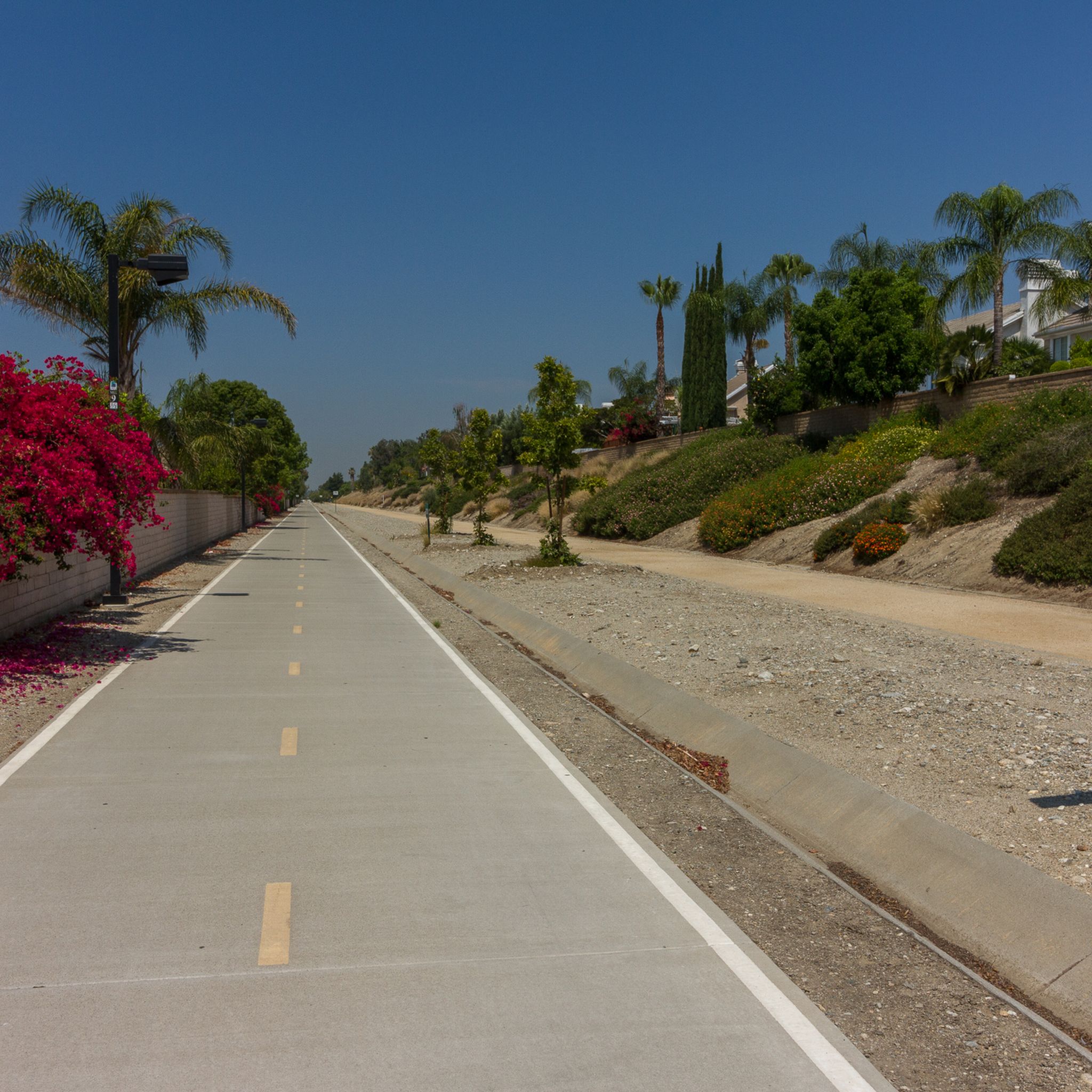
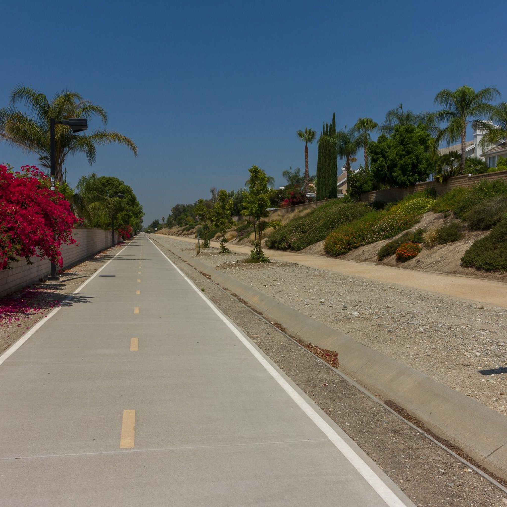
The Pacific Electric Trail is an almost 20-mile long trail that follows the original route of the Pacific Electric Railway. It is mostly paved and is not open to car traffic, but there are points where the trail crosses busy streets.
0
0
Frequently Asked Questions
How many road cycling routes are available in Ontario?
Ontario offers a wide selection of road cycling routes, with over 50 routes available on komoot. These routes cater to various skill levels, from easy rides to more challenging ascents.
What kind of landscapes can I expect to see while road cycling in Ontario?
Ontario's road cycling routes traverse diverse landscapes. You can expect extensive waterfront trails along the Great Lakes, rolling countryside, agricultural lands, and even more challenging terrain through areas like the Niagara Escarpment. Regions like Prince Edward County offer quiet countryside, while Northern Ontario features boreal forests and farmlands.
What is the best time of year for road cycling in Ontario?
The best time for road cycling in Ontario is typically from late spring to early autumn (May to October). During these months, the weather is generally pleasant, and the natural scenery, from lush forests to vibrant lakeside views, is at its peak. Summer offers the warmest temperatures, while spring and fall provide cooler rides and beautiful foliage.
Are there road cycling routes for beginners in Ontario?
Yes, Ontario has numerous road cycling routes suitable for beginners. Approximately 16 of the routes listed on komoot are rated as easy. An example is the Upland Basin – View of Puddingstone Reservoir loop from Montclair, which is an easy 20.0 miles (32.1 km) path with gentle climbs.
Are there challenging road cycling routes in Ontario?
Absolutely. For experienced cyclists seeking a challenge, Ontario offers routes with significant elevation gain. There are 4 routes rated as difficult on komoot, such as the Glendora Ridge Road – Little Dalton Debris Basin loop from Montclair, a 45.8 miles (73.6 km) trail featuring substantial climbing.
What scenic viewpoints or landmarks can I find along road cycling routes in Ontario?
Many routes offer scenic views and pass by notable landmarks. For instance, you might encounter highlights like the Pumpkin Rock or enjoy a View of the Claremont Hills Wilderness Park. The Great Lakes Waterfront Trail provides breathtaking views of Lake Ontario, Lake Erie, Lake Huron, and Lake Superior, while the Niagara River Parkway route offers stops at wineries and orchards.
Are there routes that pass by waterfalls in Ontario?
While specific road cycling routes directly passing major waterfalls are not detailed in the provided data, Ontario is known for its waterfalls. Niagara Falls is world-famous, and Hamilton is known as the 'Waterfall Capital of the World.' You can plan routes in these regions to include stops at these natural attractions, such as Kakabeka Falls or Bridal Veil Falls on Manitoulin Island.
Are there any circular road cycling routes in Ontario?
Yes, Ontario features several excellent circular road cycling routes. The Greater Niagara Circle Route is a 140 km loop perfect for exploring wineries and Niagara Falls. Manitoulin Island also offers 14 cycling routes, including the 74 km Providence Bay 2 Beach Loop, which visits two beaches and provides waterfront cruising.
Are road cycling routes in Ontario suitable for families?
Many road cycling routes in Ontario are suitable for families, especially those on dedicated bike trails or quiet country roads. The Waterfront Pathway in Kingston, for example, offers an 8 km picturesque ride along Lake Ontario. Routes with gentle climbs and scenic views, like the Upland Basin – View of Puddingstone Reservoir loop from Montclair, are often good choices for family outings.
Where can I find parking for road cycling routes in Ontario?
Parking availability varies by route and location. Many trailheads, provincial parks, and community centers near popular cycling routes offer designated parking areas. For routes like the San Dimas Reservoir loop, you might find starting points with parking options, such as the San Dimas Reservoir loop from Auto Club Speedway.
Are there amenities like cafes or accommodation along road cycling routes in Ontario?
Yes, many road cycling routes in Ontario pass through or near charming small towns and communities that offer amenities. Regions like Prince Edward County are known for having food, water, and natural stopping points within manageable distances. Routes in the Niagara Region also offer stops at wineries and orchards, and many areas provide cafes and accommodation options for cyclists.
What do other road cyclists say about the routes in Ontario?
The road cycling routes in Ontario are highly rated by the komoot community, with an average score of 4.6 stars from over 24 reviews. Cyclists often praise the diverse terrain, from extensive waterfront trails to rolling countryside, and the variety of options available for different ability levels.
Most popular attractions around Ontario

Get inspired with the komoot mobile app


Explore more
Browse the best Road cycling routes in other regions.
